
01 / Start here
A small summit.
A very long day behind it.
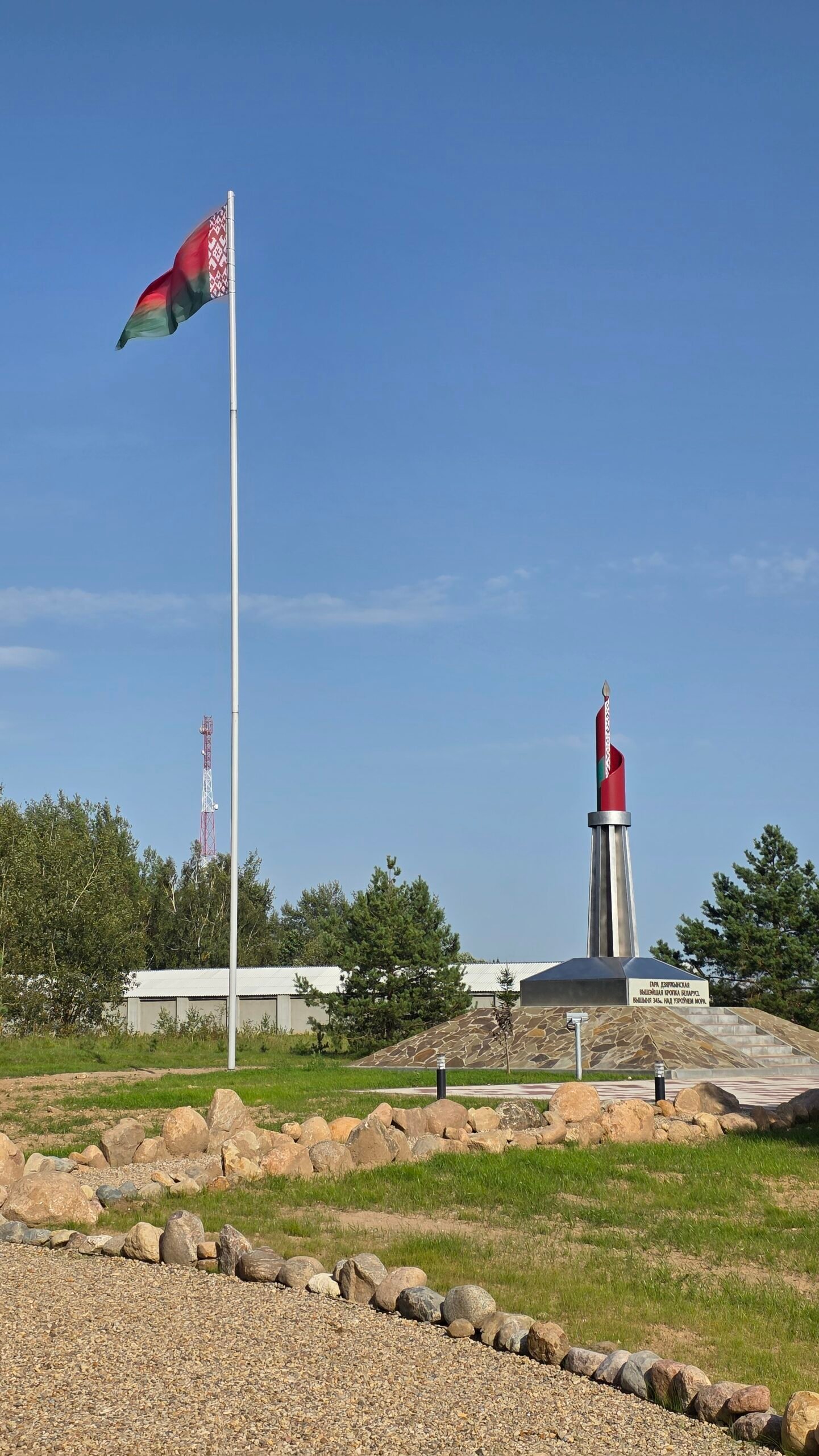
Dzyarzhynskaya Hara is Belarus’s highest point: a modest hill near Skirmantava, west of Minsk. A short walk leads to a monument, open sky and a quiet pause in the countryside.
Its scale is gentle. The interest lies in the place, the journey and the way a national high point can become a very personal landmark. For me, this was where a draining travel day finally released its grip.

- Country high point
- 345 mGeographical height above sea level
- Area
- Near SkirmantavaMinsk region · west of the capital
- Ordinary outing
- A short summit visitRoad approach and a brief walk to the monument
- My suggested allowance
- 30–60 minutesAt the site, with photographs; a personal planning suggestion
- My Minsk transfer
- 52 km by taxiMy journey record, not a fixed route or current fare
- My visit
- 16:22 · 29 August 2025Warm, calm and sunny
Use the sections below for the local approach, what to look for at the summit, time in Minsk and my own illustrated account. Geographical height reference.
02 / Know the high point
345 metres.
More meaning than altitude.
The CIS Statistical Committee’s geographical profile lists Mountain Dzerzhinskaya at 345 m as Belarus’s highest point. The number describes elevation above sea level. It is not a 345 m climb from the car or the nearby road.
What the outing feels like
My visit was a short walk into an arranged summit area, with paved surfaces, steps, a raised monument and woodland around the clearing. The photographs show the character more honestly than the word “mountain” can suggest.


A hill, rather than an alpine route
For an ordinary snow-free outing, think about a comfortable short walk and time at the destination. There is no need to turn it into a technical climbing objective. Your actual approach, the surfaces and the people with you determine the day.
Why it belongs in the journey
A country’s highest point can carry a sense of arrival even when the terrain is gentle. Here, the interest is in standing in a specific place and understanding its setting. My own memory of the hill is inseparable from the day that brought me there.
03 / Choose your visit
A brief pause.
Or time to look around.
| Version | What it offers | What to arrange |
|---|---|---|
| A direct summit stop | The monument, inscription and photographs | The public approach, parking or drop-off and return |
| A slower site visit | Time for the stone-circle installation and surrounding clearing | A comfortable pace and weather-appropriate clothing |
| A local outing from Minsk | A countryside pause within a wider city stay | A complete transfer and enough time back in town |
| A longer regional day | The hill plus one separately chosen attraction | Actual road distances, opening and a sensible order of stops |
For most visitors
I would allow roughly 30–60 minutes at the site to walk in, read the inscription, look around and take photographs. That is my suggested visit allowance, not an official trail duration or a measured circuit.
If you want a longer walk
Choose a real route with a mapped start and return. My short summit stop does not establish a marked long-distance loop, and a road extending beyond the monument does not automatically become a walking itinerary.
Decide whether your day is about this one high point or a broader journey. Both can work, but they require different allowances for driving and time on foot.
04 / From Minsk to the hill
Arrange the whole journey.
Then enjoy the pause.
Save the destination clearly
Use the full hill name and its location near Skirmantava / Skirmantovo. Do not use Dzyarzhynsk town as though it were the summit itself. Share the actual map point with your driver and confirm where the public approach begins.
My taxi transfer
I used Yandex Go in Minsk and arranged the hill outing with the driver. My diary records 52 km from Minsk to Dzyarzhynskaya Hara. That belongs to my trip, from my actual pickup and route. It is not a current fare quote, guaranteed distance or standard driving time.
Agree the return before leaving
Confirm the complete arrangement: destination, waiting time, price basis, return location and payment. A drop-off at a rural hill is a different service from a round trip with a driver waiting while you walk.

If driving yourself
Identify the intended visitor entrance rather than trying to drive to a geographical coordinate. Use the current parking and access signs, leave working entrances clear and give yourself enough time for the return to your actual base.
Public transport
This guide does not claim a verified direct bus to the monument. If using regional services, confirm the current stop, the final walking section and a workable return. City transport information helps with moving around Minsk; it does not establish the last rural connection. Minsktrans operator updates.
05 / The short summit walk
A few steps.
A change of pace.
1. Identify the public approach
Check your arrival point and where you will meet the driver or return to the car. Make that clear before walking into the site. The best start is the one that works with the actual access on the day.
2. Follow the established surface
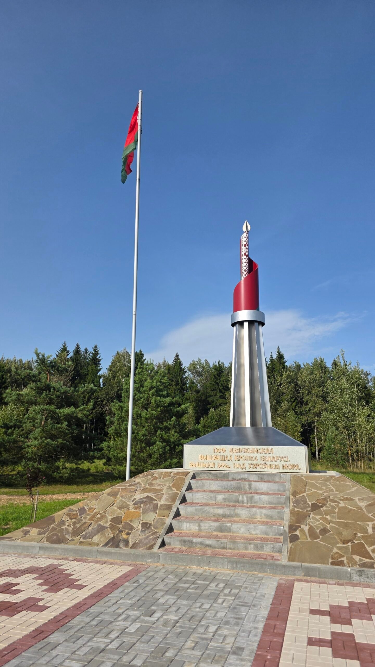
My photographs show paving and steps leading towards the raised monument. Stay on the intended route and give others room, especially when people stop for photographs near the stairs.
3. Read the marker
Spend a moment with the inscription and the surrounding layout. A national high point is more interesting when it becomes a place you can describe, rather than just a photograph beside a height figure.
4. Make a short circuit of the visitor area
Look at the open space and the separate stone installation if access allows. Keep to the established visitor area, and return to the entrance you actually used. Do not turn a short site visit into an unplanned walk along country roads.
The paved steps and monument in these images belong to my August 2025 visit. Use the current signs and layout when you arrive.
06 / At the monument
Open sky.
A landmark at the top.
The summit area in my photographs has a raised stone-faced base, a tall central marker, an inscription and a flag. Trees frame the visitor space, while the open sky gives even a modest hill a sense of arrival.
What to look for
Notice the height inscription, the steps and how the monument sits within the clearing. Take a wider photograph before moving in for a portrait. It helps explain the setting when you look back at the journey later.
A shared place
Leave the steps and inscription clear for other people. It only takes a moment to make a portrait, then step aside. The landmark can remain part of your photograph without becoming a place to leave bags or rearrange objects.

Ground-level views
This is not a tall observation-tower visit like Suur Munamägi in Estonia. Enjoy the arrangement of the site and the nearby landscape rather than expecting to climb above a vast forest canopy.
07 / Beyond the main marker
Look at the lines.
Let the details slow you down.
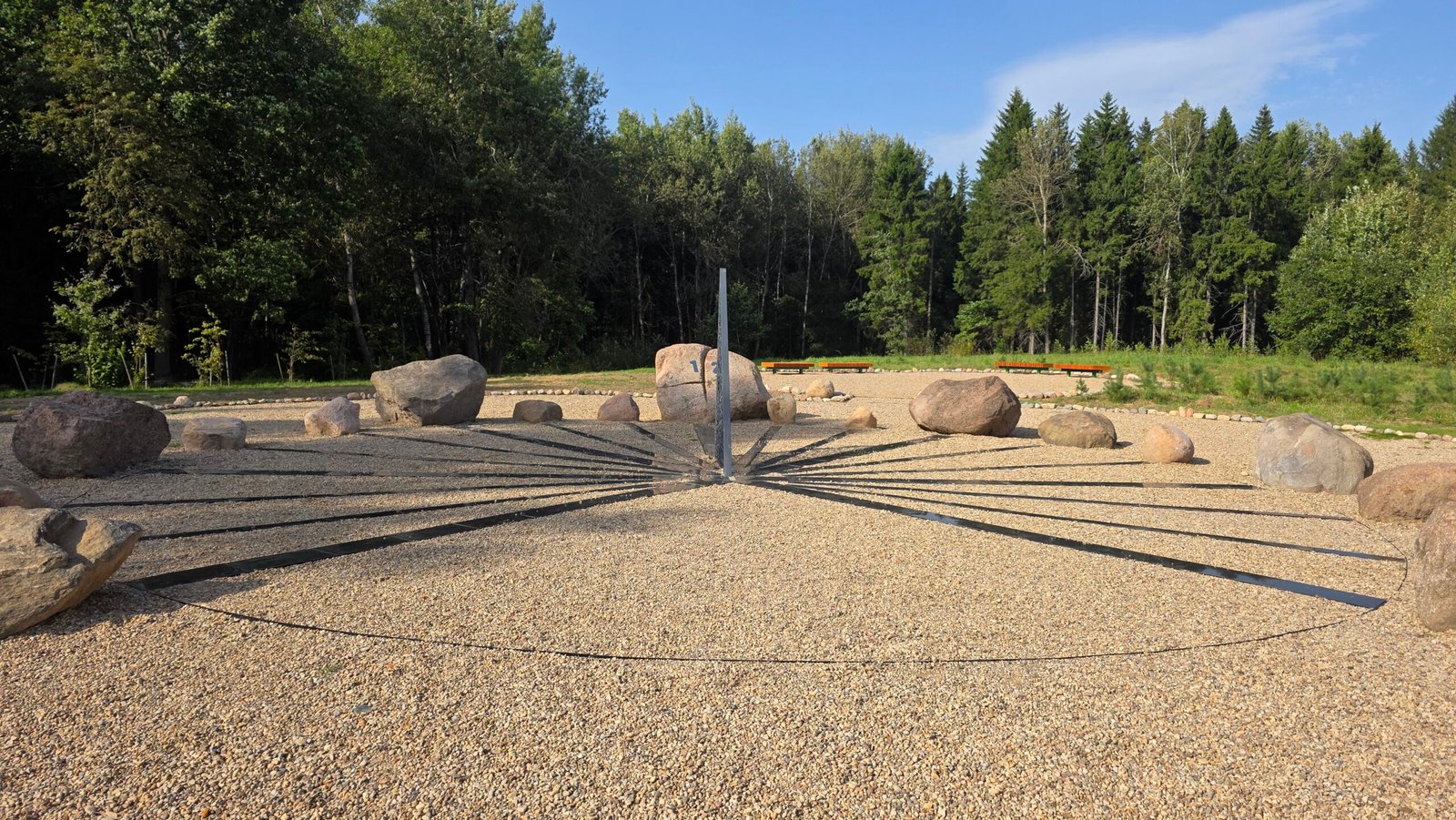
A few of my photographs focus on a circular stone installation with radiating lines, surrounded by grass and trees. It gives the visit another subject beyond the main monument and the familiar summit portrait.
Photograph it with its surroundings
A wider view shows how the arrangement relates to the clearing. Try a lower angle for the lines, then make a frame that includes the nearby trees. Small details can carry the atmosphere of a short visit surprisingly well.
Use current interpretation
Read any information supplied on site if you want the exact meaning or history of an installation. My photograph establishes what was there during the visit; it does not, by itself, establish a construction date or the designer’s intention.
These are the pauses that make a modest high point feel like a place, rather than the end of a navigation instruction.
08 / Names & map searches
One hill.
Several written forms.
You may encounter Dzyarzhynskaya Hara, Dziaržynskaja hara or Gora Dzerzhinskaya. Belarusian and Russian names, together with different romanisation systems, explain much of the variation.
Дзяржынская гара · гора Дзержинская · Dzyarzhynskaya Hara · Skirmantava / Skirmantovo
Match the place, not only the spelling
Keep the nearby settlement and map point with the name. A driver may recognise a local written form more quickly than the spelling used in an English travel guide. Save a screenshot that shows both the text and position.
Place names have history
The CNIG geographical-name reference records the older form Svyataya Hara and the change in 1958. Use such references to understand names on older maps, while keeping the modern location clear. Geographical-name reference PDF.
My diary coordinates are 53°50′55″N, 27°03′55″E, approximately 53.848611, 27.065278. They identify the hill area, not a parking permission or a promise of a particular entrance.
09 / The landscape around it
A gentle high point.
A glacially shaped country.
A World Bank geographical overview describes Belarus as part of the East European lowland, with terrain shaped by glacial deposits and a moraine ridge crossing the country. This broader setting helps explain why a national high point can feel subtle on the ground.
Look for the wider shape
Notice the rise of the land, the woodland edges and the relationship between the clearing and surrounding countryside. A gentle slope does not advertise its height in the way a sharp ridge does.
Elevation is not walking effort
The country-height figure and your local ascent answer different questions. A drive may bring you close to the high point before you start walking. Your outing should be described from its real starting place, not by treating 345 m as the amount climbed.
A useful change within a mountain journey
The smaller high points make room for different observations: a line of trees, the colour of the grass, a conversation or the feeling of finally standing still. They do not need to imitate the Alps to belong in a European journey.
Read the World Bank landscape overview · Check the geographical height reference.
10 / A Minsk chapter
From the small clearing.
Back to the city.
Minsk gives this outing a very different second scale: broad spaces, landmark buildings, museums, cafés and the everyday details of a capital.

The Gates of the City
The official city portal places these twin towers at Kirova Street 1, opposite the station. The architecture makes a recognisable starting point for the city chapter, especially if your day passes through the station area. Official landmark description.
Choose a manageable walk
Pick a part of the city that fits your remaining energy and time. An exhausted arrival is a good reason to keep the first walk simple: a landmark, a meal and a clear route to the accommodation.
Use the city’s own route listings
The official tourist portal provides tours, routes, events and attraction directories. Choose by interest rather than assembling a long list of unrelated pins. Official Minsk visitor portal · Browse city tours and routes.
My original diary describes Minsk through the fatigue of a long journey. It is a personal impression of that day, alongside the photographs—not an attempt to reduce a whole city to a single mood.
11 / City places to explore
A riverside quarter.
A square and a museum.
Trinity Suburb
The city visitor portal describes this quarter beside the Svislach River, with small streets and coloured houses. It gives a different scale from the station towers and broad avenues. Use the official listing to locate it, then choose a walk that fits the rest of your day. Trinity Suburb visitor information.
City Hall and Freedom Square
The reconstructed City Hall stands at Freedom Square 2a. The city portal links it to exhibitions and the history of Minsk. Check current exhibition opening and admission if you want to go inside, rather than treating an exterior landmark as a guaranteed museum visit. City Hall and exhibition details.
A park instead of another building
If you want a quieter city pause, use the official parks and nature-trail directory to choose a suitable green space. Keep that walk separate from the hill visit: a city path and a rural high point have different starting points and transport needs. Official parks and nature-trail listings.
Leave something for another day
One coherent walk can be more memorable than an afternoon spent moving between distant attractions. Keep a map of your base and the return route, then allow the spaces between landmarks to become part of the visit.
12 / Food & coffee pauses
A meal, a coffee.
The small travel moments.
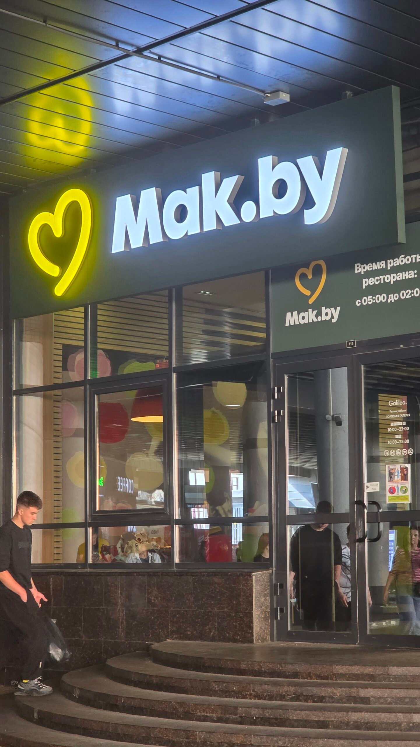
The little stops are part of the record too. Among my photographs from this day are a Mak.by entrance and a Spiritus Coffee machine. They show the ordinary pauses around the main journey rather than a carefully planned restaurant tour.

For a proper meal
The city tourist portal has a Belarusian cuisine directory. Use it to choose a place that fits your location and preferences, then confirm the current menu and opening directly. A photograph in my diary is not a restaurant review or a recommendation based on a meal I have not described. Browse the national-cuisine listings.
For the hill
Bring water and a simple snack. The summit stop is short, and you can make the main meal part of the Minsk chapter instead of relying on an unconfirmed food service at the monument.
13 / A wider cultural journey
Other places.
Their own time and story.
For readers exploring the wider region, Mir and Nesvizh offer architectural and historical themes that are quite different from the high point. Treat them as separate substantial destinations, with their own transport and visitor arrangements.
Mir Castle Complex
UNESCO describes a castle shaped by successive Gothic, Renaissance and Baroque phases. It was inscribed on the World Heritage List in 2000. Read the listing for historical context and follow its official-site link for current museum arrangements. UNESCO’s Mir Castle account.
The Radziwill complex at Nesvizh
The UNESCO property brings together the residence, the Corpus Christi church and their setting. Its interest is a cultural ensemble, rather than a quick castle photograph. Give it an itinerary that allows time to understand the place. UNESCO’s Nesvizh account.
Avoid an overloaded day
A short hill visit does not make every other destination nearby in practical terms. Compare real road distances, museum opening and your base. I would choose one main additional theme rather than promising all of these places in the gaps between transfers.
14 / Shape the local day
A simple outing.
Time for the city afterwards.
A straightforward Minsk-based version
Begin at a clear pickup point, travel to the actual visitor approach, make the short hill visit and return to your agreed city location. Leave room for a meal and an unhurried walk. The useful plan is a complete round trip, not just an outward navigation estimate.
A slower photograph-focused visit
Allow time for the monument, inscription and surrounding installation. Make a wide frame, a detail and a portrait, then put the camera away for a moment. A small site becomes more interesting when you notice it between photographs.
A city-and-countryside day
Choose one manageable city area and the hill as the outdoor change of scene. Order them around your transport and energy. Keep the city walk flexible if you arrive later than expected.
If you have more time
Give a museum or a wider cultural excursion its own substantial block. Use actual opening and road plans, rather than adding a castle simply because the summit walk is short.
My expedition compressed travel into long days. For a visit built around enjoying the place, I would keep the walking gentle and the schedule lighter than the journey recorded in my diary.
15 / Where to stay
A useful base.
A comfortable return.
| Base | Why it can work | What to check |
|---|---|---|
| Central Minsk | Meals, city walks and a practical meeting point | Exact location and transport to the hill |
| Near the station area | Convenient around rail or coach connections | Actual walking distance, arrival and room access |
| A quieter Minsk neighbourhood | A slower evening after the local outing | City transport and where your driver will collect you |
| A rural property, if that fits your journey | More countryside time | The real address, meals and confirmed road access |
Choose the property, not a broad map label
Check how the accommodation fits your arrival, hill transfer and next activity. “Minsk region” covers a much larger area than a city-centre walking plan. An appealing room needs a workable location.
My own night
I spent the previous night on the bus, then took an apartment in Minsk after the hill visit. In the diary, a bed and some quiet felt especially valuable after so much travel. I am not turning that unlisted apartment into a hotel recommendation.
Compare accommodation in the city tourist directory, then confirm availability, current price and arrival arrangements directly.
16 / Seasons & weather
Blue summer sky.
A different mood in the cold.
Summer
My August photographs show blue sky, dry paving and late-summer green. Bring water, suitable clothing and time to pause in the shade if needed. The pleasant conditions were part of that particular afternoon.
Spring and autumn
Think about damp surfaces, mud on the approach and a cooler pause at the monument. A light extra layer can make a short visit more comfortable. Leave enough daylight for the drive and your actual return.

Winter
Check the forecast and local access before choosing the outing. A summer photograph of steps does not describe their condition in frost or snow. Keep the plan appropriate to the surfaces and the people walking with you.
Use a local forecast
Look at the day’s weather for the hill area and the journey from your base, not only a general seasonal description. Belhydromet weather information.
17 / Families & accessibility
A modest distance.
Choose the right experience.
With children
A short site visit can make a useful pause in a day of driving. Let children notice the inscription and the shapes of the installation, while keeping them close around the steps and road access. Bring a snack and give the outing enough time to feel like more than a stop beside the car.
Pushchairs and reduced mobility
My photographs show a raised platform with stairs. Do not assume that the full summit experience is step-free. Ask about the current approach, gradient, parking distance and any suitable ground-level view for your party.
A mixed group
Agree what each person wants from the stop. Some may be happy with a nearby view of the monument while others make a closer circuit of the site. Establish a clear meeting point and let the slowest person set a comfortable pace.
Essential facilities
Plan water, food and any necessary stops before reaching the rural site. My visit and photographs do not establish a staffed visitor centre or a guaranteed accessible toilet.
18 / Costs & calculator
Price the whole outing.
Use your own quotes.
For a short high-point visit, the transfer can be a more significant cost than time on foot. Compare the complete service: pickup, drive, waiting and return, then add meals and any overnight stay that belongs to your plan.
Ask the useful questions
Confirm whether the quote is for the whole car or each passenger, whether waiting is included, and what changes if your visit takes longer. Write the agreed destination and return arrangement clearly so you are comparing the same service.
One currency throughout
The calculator below uses Belarusian rubles (BYN). Enter all quotes in that currency. It does not perform an exchange-rate conversion or retrieve live taxi, hotel or ticket prices.
Only the shared group quote is divided between people. Enter the other fields as one person’s share, and avoid counting the same transfer twice.
19 / Simple packing checklist
A small bag.
A little preparation.
For the ordinary snow-free summit stop, pack for a modest local walk and the actual weather. Add what your own group needs and keep the return arrangement easy to find.
20 / Photography notes
More than one portrait.
A small story in pictures.
There is a simple way to make a short visit look like a journey: vary what you photograph. The monument gives you a clear subject, but the inscription, trees, paving and people provide the detail around it.
Start wide
Make a frame that includes the whole landmark and some surrounding space. It explains where the portrait happened and how the monument relates to the clearing.
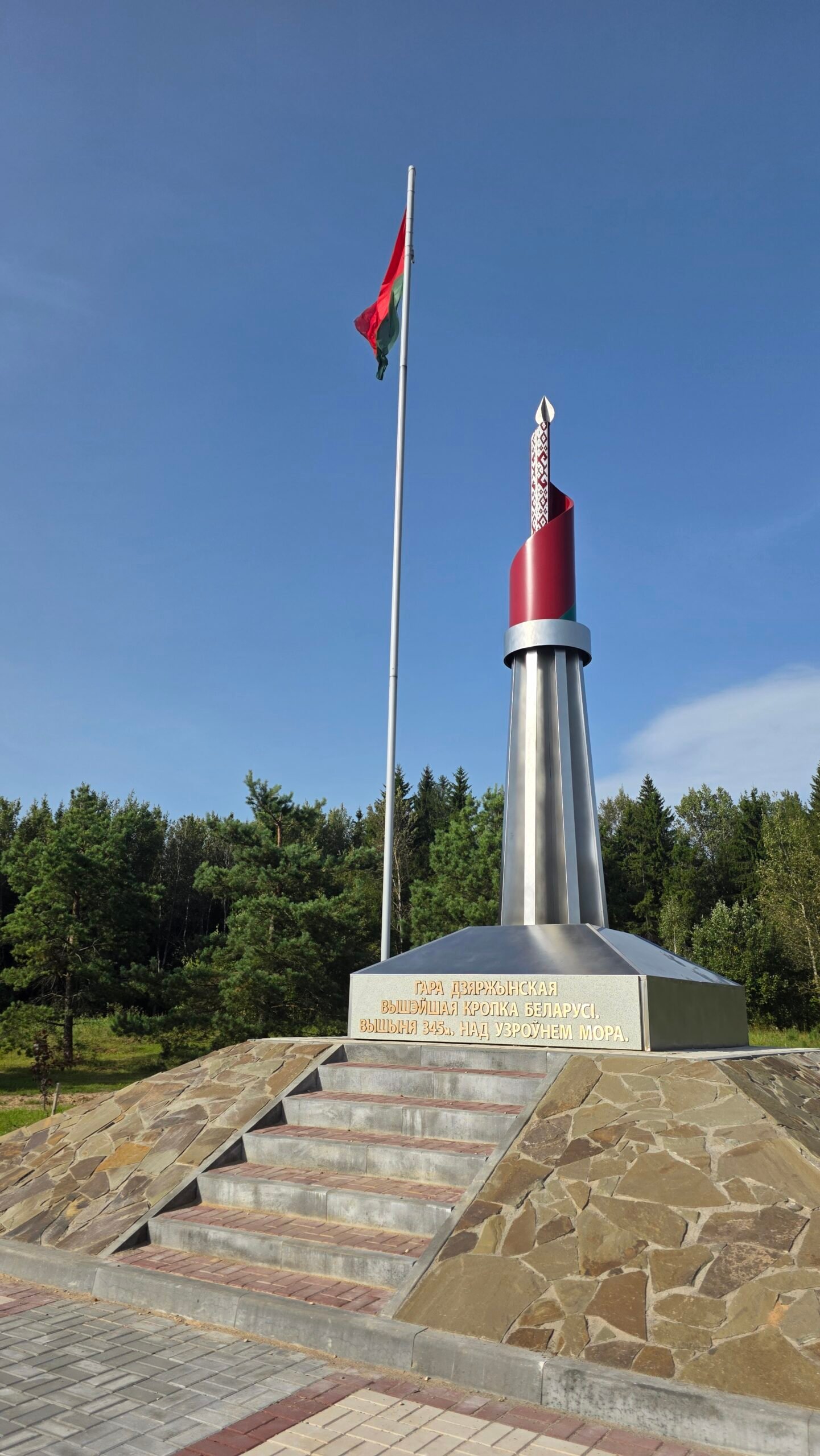
Then find a detail
The lettering, the edges of the steps or the lines of the stone installation can interrupt a sequence of near-identical portraits. A good detail is still recognisable as part of the place.
Finish with the person
A portrait tells the reader who made the journey and what it felt like. The relaxed frame matters as much as the triumphant one. Give others room, keep the walking line clear and leave the site ready for the next visitor.
All photographs in this guide come from my own 29 August 2025 journey.
21 / My August journey
Nine hours of waiting.
Then 16:22 on the hill.
29 August 2025. The walk was easy. The day that brought me to it had been anything but.
After Sněžka, I travelled from Karpacz to Warsaw, then continued overnight towards Minsk. In my original diary I recorded a nine-hour border process at Terespol: inspections, repeated questions and a long, tense wait.
My own questioning lasted nearly an hour and focused particularly on my equipment. I was carrying a drone, and I remember the anxiety around that part of the journey. By the time I was finally through, I felt emptied out.
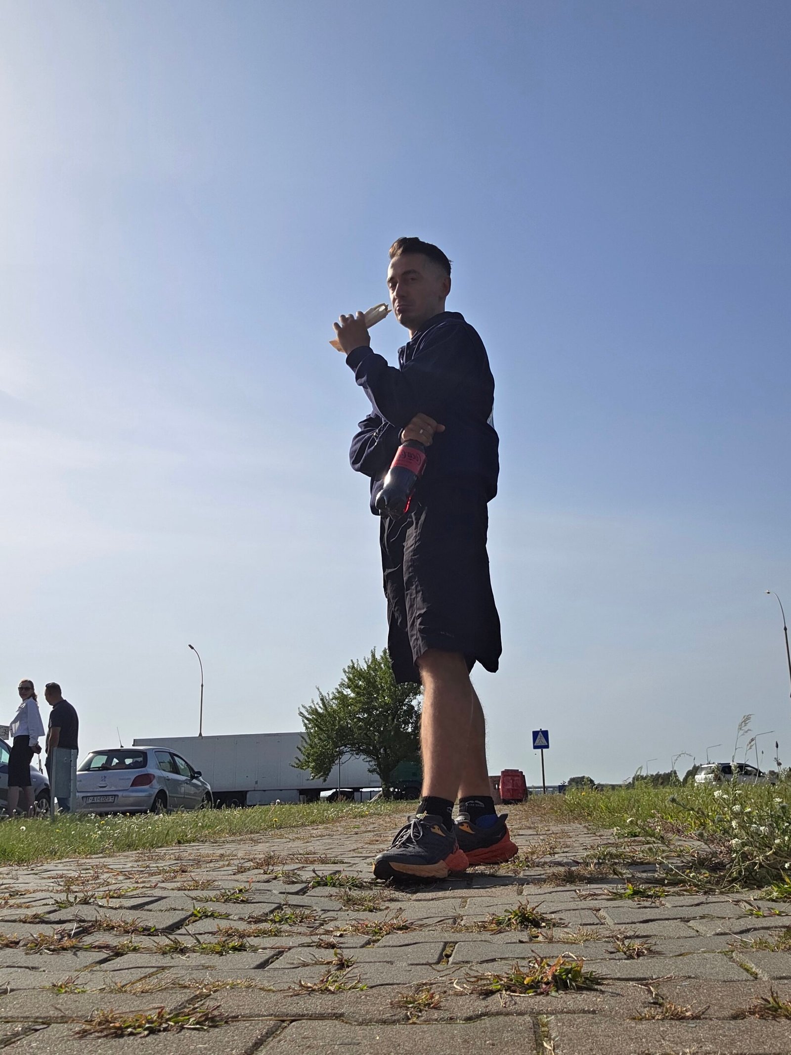
I reached Minsk in the afternoon—around 15:00 in the account I wrote afterwards—and arranged a taxi. The driver became part of the story, taking me towards the high point and later back to the city.
Another tense moment stayed in the diary too: I crossed a street on a red signal and was shouted at by an officer. After so much waiting and uncertainty, even that brief exchange set my heart racing again.
Then the scenery changed. At the hill, the sky was blue and the air was calm. My summit time was 16:22. A short walk brought me to the monument and, for the first time that day, I felt able to breathe properly.
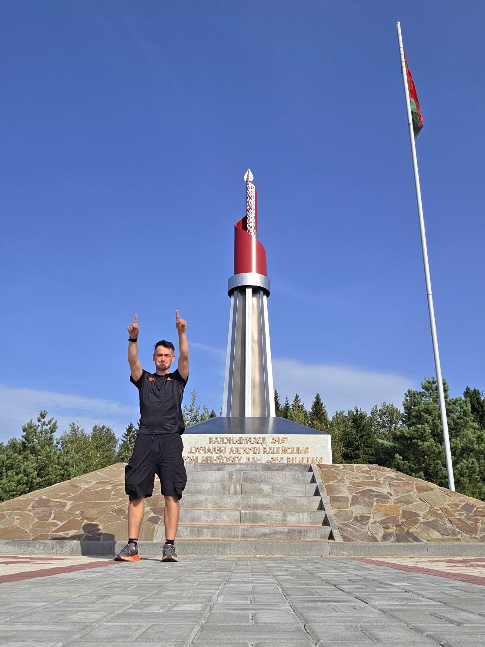
I did not need a hard final climb for that place to matter. Standing there felt like a small personal victory because of everything that had happened before the walk.
These are my memories of one expedition day in August 2025. The times, route and border experience belong to that historical account.
22 / What stayed with me
The quiet after it.
The road ahead.
Dzyarzhynskaya Hara was one of the expedition’s gentlest walks and one of its most intense emotional arrivals. The monument was a clear destination, but the memory is the release of pressure around it.
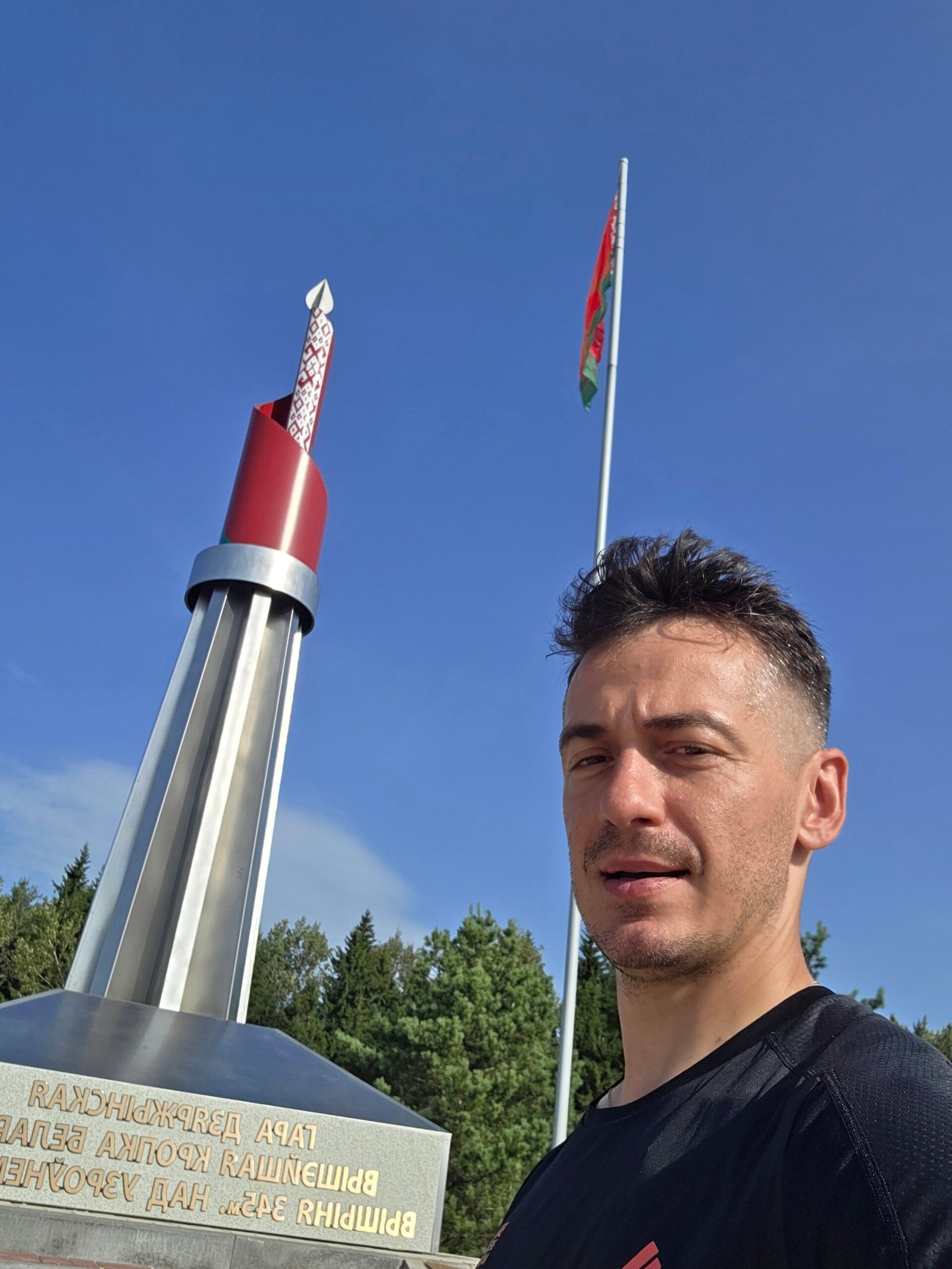
Afterwards, I returned to Minsk and stayed in an apartment. A bed, a meal and some quiet became the end the day needed. The following morning I continued towards Lithuania and Aukštojas.
The contrast is part of what makes the smaller national high points interesting. They ask less of the legs, but they can carry a story that is just as vivid as a much higher mountain.
Continue to Aukštojas in Lithuania ↗ · Explore Suur Munamägi in Estonia ↗ · Visit Gaiziņkalns in Latvia ↗.
23 / Questions answered
The useful questions.
Is Dzyarzhynskaya Hara the highest point in Belarus?
Yes. The geographical reference used here lists Mountain Dzerzhinskaya at 345 m above sea level.
Is it a technical mountain climb?
The ordinary snow-free visit described here is a short walk to an arranged summit area. The national height is not the amount climbed from your start.
How long should I allow at the site?
My suggested starting allowance is 30–60 minutes with photographs and a look around. It is not an official trail time or a measured circuit.
Where should I aim on the map?
Use the hill near Skirmantava / Skirmantovo, not simply the town of Dzyarzhynsk. Save the public visitor approach and your actual return point.
What are the coordinates in Adrian’s diary?
53°50′55″N, 27°03′55″E, approximately 53.848611, 27.065278. They identify the hill area rather than a parking arrangement.
How did Adrian get there from Minsk?
I used Yandex Go and arranged the outing with a driver. My diary records a 52 km transfer; that is my journey figure, not a current fare or guaranteed distance.
Is there a verified direct public bus to the monument?
This guide does not establish one. Check the current regional service, final walk and return if considering public transport.
Is there an observation tower?
My 2025 images show a raised monument and summit visitor area, rather than a tall observation-tower attraction.
Is the full experience step-free?
Do not assume that. The photographs show steps to a raised platform. Ask about current surfaces and the closest suitable ground-level access for your needs.
Are there current published admission prices?
This guide does not claim a verified formal hill tariff. Confirm any local services or charges for the actual visit.
What else is in the guide?
The summit, the surrounding installation, time in Minsk, city walks, food pauses, a BYN budget calculator and my illustrated diary.
Which currency does the calculator use?
BYN, Belarusian rubles. Enter every quote in the same currency; there is no automatic exchange-rate conversion.
Are the photographs Adrian’s own?
Yes. They come from my 29 August 2025 travel day, including the hill, personal portraits and Minsk stops.
Are Mir and Nesvizh part of the summit walk?
No. They are separate substantial cultural destinations. Use their own visitor arrangements and give each a realistic itinerary.
What was Adrian’s summit time?
My expedition diary records 16:22 on 29 August 2025, after a long overnight journey and an afternoon arrival in Minsk.
Where did the expedition go next?
The next chapter was Aukštojas in Lithuania, followed by the Estonian and Latvian high points.
24 / Useful links & sources
Your local planning desk.
Research checked 1 November 2026. All photographs are Adrian Mazur’s own images from 29 August 2025. The practical sections focus on the local hill visit and Minsk; the expedition story records one historical journey.
Use the geographical references for the height and landscape, the official Minsk tourist portal for city visits, and the relevant operator for actual transport, accommodation and opening details.
Geographical reference identifying Dzerzhinskaya as the 345 m national high point
The country’s lowland setting and glacially shaped terrain
A geographical-name reference for the hill’s different written forms
City events, visitor information and places to explore
Choose a city walk that fits your interests and time
City landmarks, museums and regional visitor context
The twin towers opposite the railway station, shown in Adrian’s photograph
A compact riverside area for a different view of the city
Freedom Square, the reconstructed hall and exhibition reference
Find a suitable meal and check the chosen restaurant directly
A practical directory for a city pause
Compare actual locations and confirm directly with the property
A separate city-green-space outing rather than a summit route
Operator announcements for city transport; not a direct bus promise to the hill
Current local forecast for the walk and drive
Visitor contacts and local emergency-service numbers
A separate architectural destination, inscribed in 2000
A separate castle, church and cultural landscape