
01 / Start here
A small hill with a wide story.
Møllehøj, at 170.86 m, is the highest natural point in Denmark proper, in the Ejer Bjerge hills of East Jutland. A short walk and a millstone mark the place; allow time for the surrounding countryside and nearby Ejer Bavnehøj.
Møllehøj is the highest natural terrain point in Denmark proper. This guide does not claim it is the highest point in the entire Kingdom of Denmark. Visit Denmark.

- Height
- 170.86 mNatural high point
- Region
- East JutlandEjer Bjerge
- Marker
- MillstoneAt Møllehøj
- Nearby
- Ejer BavnehøjSeparate tower and hill
- My visit
- 27 July 2025With my family
- Emergency
- 112Emergency services
02 / Denmark’s high point
Denmark proper and the wider kingdom.
Visit Denmark identifies Møllehøj as Denmark’s highest natural point at 170.86 m. The geographical scope matters: Greenland and the Faroe Islands are part of the Kingdom of Denmark and have higher terrain. Here we discuss Denmark proper. Visitor information.
03 / Which hill is highest?
Møllehøj, Ejer Bavnehøj and Yding Skovhøj.
These nearby hills have long been compared. Lex lists Møllehøj at 170.86 m, Yding Skovhøj’s natural ground at 170.77 m and Ejer Bavnehøj at 170.35 m; structures or burial mounds are a different measurement. Møllehøj and the tower at Ejer Bavnehøj are separate places. Heights and history.
04 / The millstone
Look for the old millstone.
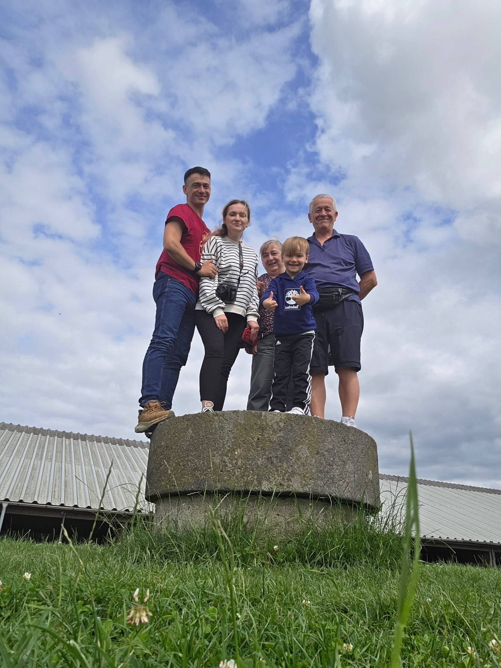
A large millstone marks Møllehøj. The former windmill burned in 1917, according to Lex; the stone remains as a visible link to that history. Follow the visitor signs and leave the marker and surroundings as you found them. Mill history.
05 / The short walk
From Ejer Bavnehøj to the high point.
From the visitor area and parking at Ejer Bavnehøj, follow current signs for Møllehøj and the Ejer Bjerge trail to the millstone, then return on the permitted path. This is a short countryside visit rather than a mountain ascent. Check the local map and signs for the route available on your visit. Visitor facilities.
06 / Ejer Bjerge trail
Extend the visit on the Ejer Bjerge trail.
Visit Denmark identifies a local trail linking the area with Møllehøj. Select a route from current on-site information and check its length and surface before starting; the short walk to the marker and a longer circuit are different outings. Ejer Bjerge trail.
07 / Ejer Bavnehøj tower
The tower is on the neighbouring hill.
Ejer Bavnehøj has a distinctive tower and visitor area. It offers a different perspective on the surrounding landscape from the millstone at Møllehøj. Check tower access, opening and any charges locally before relying on a climb. Visitor area.

08 / Access and land
Follow the path through a working landscape.
Respect signs, gates and private property. Denmark’s Nature Agency says visitors may use roads and paths in the open countryside subject to rules and exceptions; do not cross a cultivated field without permission. Check local signs and leave gates as found. Danish countryside access.
09 / Visiting with family
A gentle stop for a family day.
The short walk can suit a relaxed visit with children, but uneven ground, weather and livestock affect individual accessibility. Keep children close near roads and animals and allow time to enjoy the surrounding fields rather than rushing the marker.

10 / Accessibility
Check the surface for your group.
Visit Denmark describes the Ejer Bjerge trail as uneven and not suitable for wheelchairs or prams. Conditions and individual needs vary, so contact the destination for current access and alternatives before travelling. Accessibility information.
11 / Dogs and livestock
Give animals room.
Visit Denmark asks visitors to keep dogs on a lead in the area. Keep a safe distance from grazing animals, follow current signs and do not enter a field or enclosure where access is prohibited. Local visitor information.
12 / Getting there
Find the Ejer Bjerge area.
The visitor area is in East Jutland near Skanderborg. Search for Ejer Bavnehøj as your destination, then follow local directions to Møllehøj on foot. Check the exact parking and access arrangements before departure. Destination details.
13 / Driving
Plan a countryside drive.
Choose a legal parking area and allow for rural roads, cyclists and farm traffic. My own trip from Bremen was part of a much longer family journey and is not a current travel-time estimate.
14 / Parking
Use the visitor parking.
Visit Denmark lists parking at Ejer Bavnehøj. Check current signage and any conditions, and keep farm access and neighbouring roads clear. The walk to Møllehøj begins on foot from the visitor area. Parking information.
15 / Public transport
Check the final connection.
Use DSB for current rail services and Midttrafik for local buses. Do not assume a bus stops at the hill: check the full route, walking distance, operating days and return connection before relying on public transport. DSB · Midttrafik.
16 / Cycling
Cycling in East Jutland.
For a longer day, consider reaching the wider countryside by bike and checking the final approach locally. Use roads and paths where cycling is permitted, watch for traffic and pedestrians, and avoid riding over crops or sensitive ground. Access guidance.
17 / Where to stay
Choose a base for more than the hill.
Skanderborg or the wider Søhøjlandet lake district can be useful bases for a regional stay. Compare current accommodation, transport, parking and cancellation details directly; the best location depends on your wider itinerary.
18 / Food and facilities
Check facilities before you depend on them.
Visit Denmark lists facilities at Ejer Bavnehøj, including toilets and drinking water with stated access hours. Hours can change: verify locally and bring water and snacks if your visit falls outside the advertised period. Facilities.
19 / When to visit
A place for different seasons.
The visitor listing describes the trail area as open year-round, but daylight, mud and individual facility opening vary. Spring and summer offer long days; autumn and winter require more attention to weather and ground conditions. Check local information before visiting. Visitor information.
20 / Weather
Bring a layer for exposed countryside.
Even a short stop can feel windy or wet. Check the Danish Meteorological Institute’s forecast, wear shoes suited to grass or mud and bring a waterproof layer when needed. Danish weather.
21 / Maps and navigation
Use the local visitor map.
Identify the tower, parking and Møllehøj marker separately on the map and follow signs on the day. A pin at Ejer Bavnehøj’s tower is not itself proof that you have reached the neighbouring millstone high point.
22 / Safety
A short walk still needs care.
Watch for uneven or slippery ground, road traffic and animals. In an emergency in Denmark call 112 and follow the dispatcher’s instructions. Choose a route appropriate to your group and the weather.
23 / Care for the landscape
Leave the fields and paths as you found them.
Use permitted paths, take litter away, respect crops and livestock and do not disturb the millstone or other historic features. The countryside is both a visitor landscape and a place where people work. Nature Agency guidance.
24 / Skanderborg
Give Skanderborg time.
Skanderborg is a practical regional base for lakeside scenery, local food and onward travel in East Jutland. Check current opening and transport for your chosen places rather than assuming that rural attractions are walkable from the hill.
25 / Lakes and Himmelbjerget
Explore the Silkeborg lakes.
Visit Denmark describes Hjejlen boat trips between Silkeborg, Himmelbjerget and the lake district. This is a separate excursion; check current sailings and tickets with the operator. Himmelbjerget is a historic viewpoint, not Møllehøj. Hjejlen visitor information.
26 / Itineraries
A short stop or a slower day.
Short visit: park at Ejer Bavnehøj, follow local directions to the Møllehøj millstone and return.
Longer trip: add an independently planned walk, Skanderborg or the Silkeborg lakes. Confirm opening and transport for each stop.
27 / Costs
Budget with current Danish kroner quotes.
Allow for travel, parking if applicable, food, accommodation and optional attractions. The calculator uses your own DKK figures, not live prices. Confirm current charges and exchange rates before booking.
28 / Saved checklist
Prepare for a day in East Jutland.
Saved only in this browser. Follow local signs and respect farmland.
29 / Cost calculator
Use your own quotes.
Plan in Danish kroner.
Enter your own current prices in DKK. Vehicle and main travel are shared; the other amounts are per person. Include any park, guide and transfer quotes under the appropriate fields. Blank entries count as zero.
30 / My visit, FAQ & sources
A pause for family and sunlight.
After the freezing fog of Zugspitze, we drove north to Bremen and spent the night with my parents. A home-cooked meal, a dry bed and family laughter gave the expedition a welcome pause.
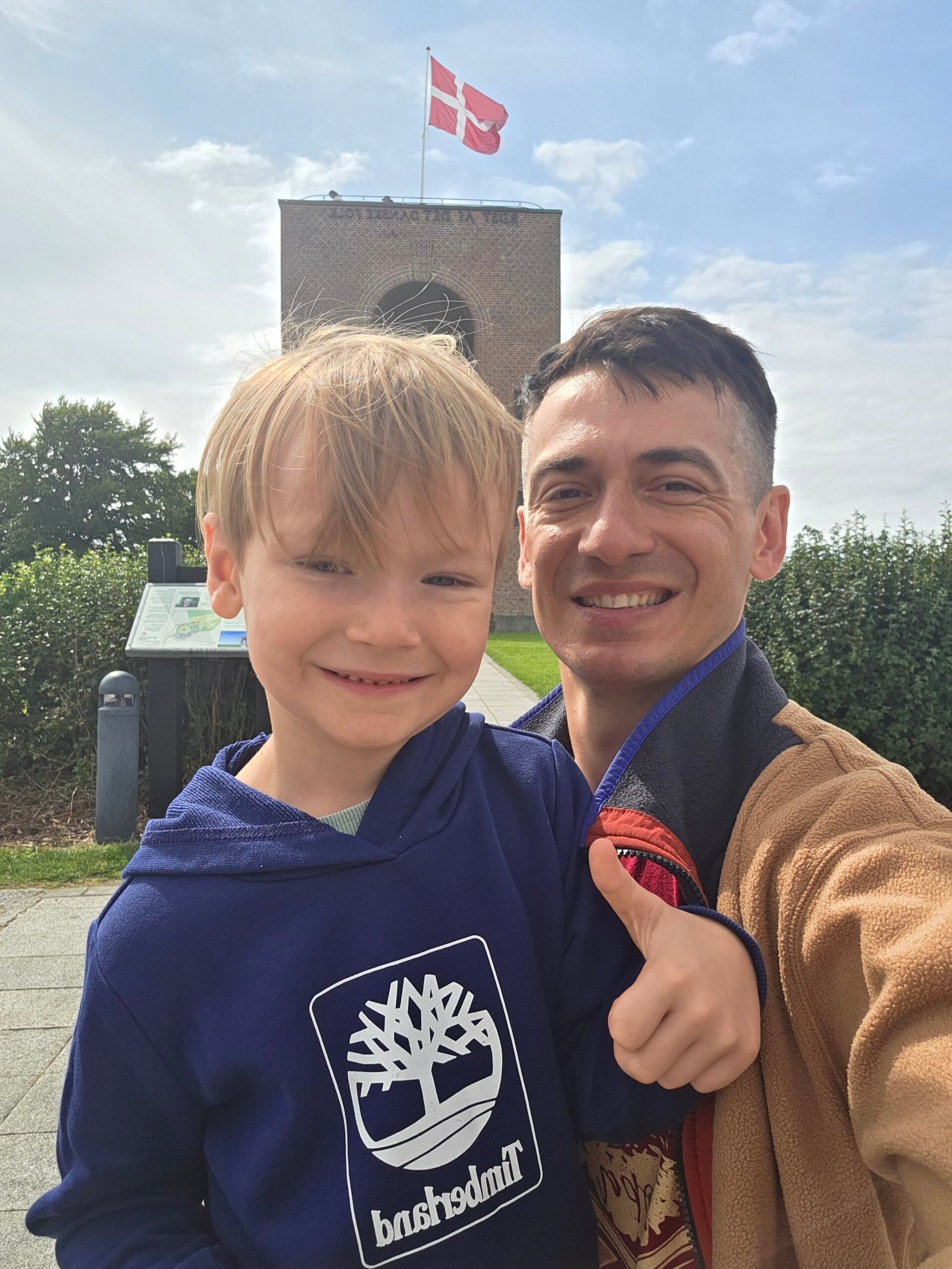
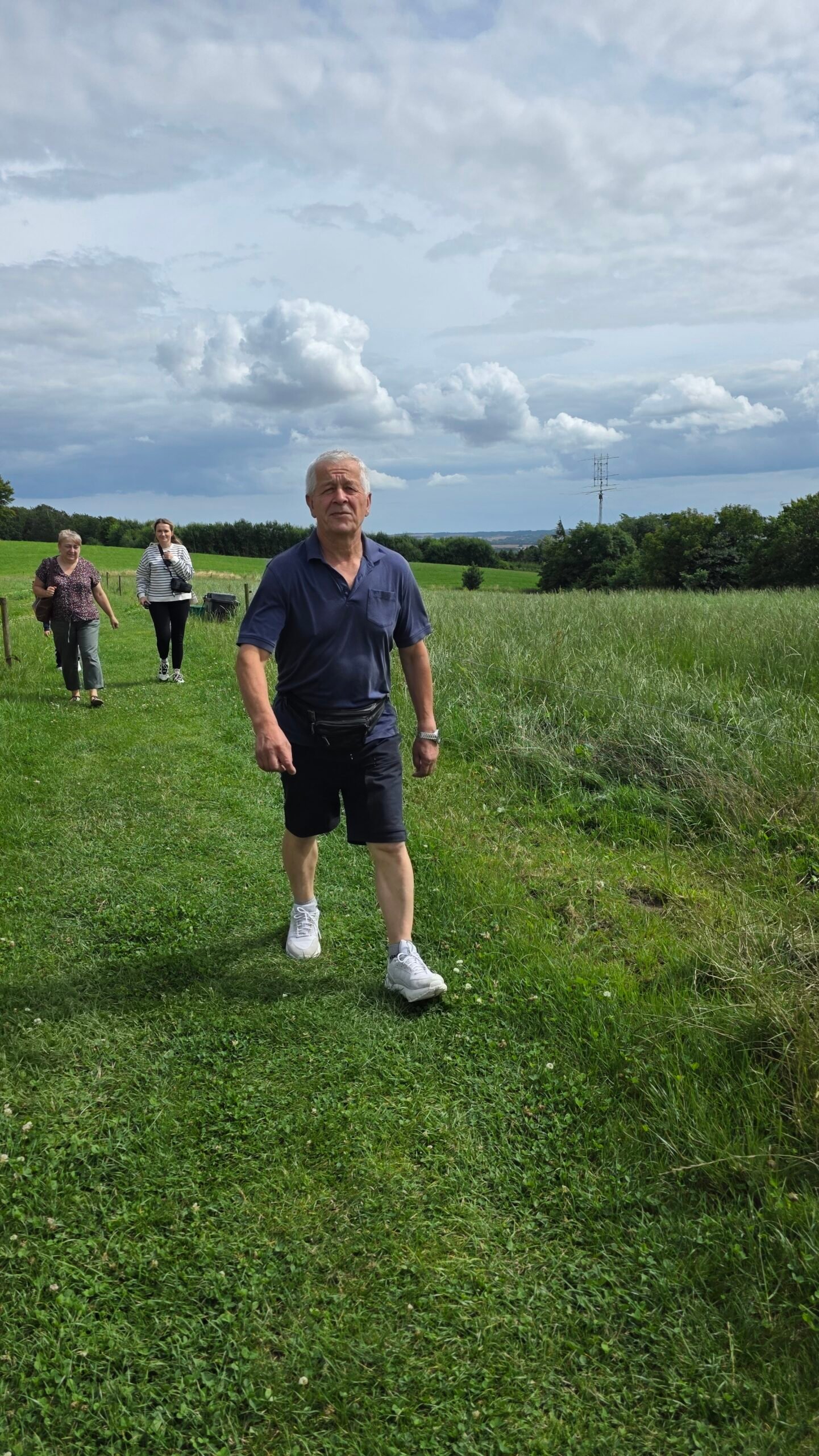
The next morning, 27 July 2025, my parents, wife, son and I continued to Denmark. Rain followed much of the drive, but the clouds opened near Ejer Bavnehøj. At 14:40 we reached Møllehøj after a gentle walk through the green countryside.
We took photographs, laughed about the contrast with Zugspitze and enjoyed being together. Standing barefoot in the grass, I felt the journey was as much about the people who shared it as the record itself.
Frequently asked questions
How high is Møllehøj?
It is 170.86 m above sea level, Denmark proper’s highest natural terrain point.
Is it the highest point in the Kingdom of Denmark?
No. The wider kingdom includes Greenland and the Faroe Islands, which have higher terrain.
Is Ejer Bavnehøj the same place?
No. It is the neighbouring hill with the tower; the Møllehøj high point is marked by a millstone.
What marks Møllehøj?
A large millstone recalls the former windmill.
How hard is the walk?
The visit from the Ejer Bavnehøj area is short, but the path can be uneven or muddy.
Is the trail wheelchair accessible?
Visit Denmark describes the Ejer Bjerge trail as uneven and unsuitable for wheelchairs or prams; check local alternatives.
Can I bring a dog?
Visit Denmark asks for dogs to be kept on a lead.
Is there parking?
Visit Denmark lists parking at Ejer Bavnehøj; check current signs and terms.
Can I arrive by bus?
Check current DSB and Midttrafik connections and the final walk; a direct service should not be assumed.
Is the tower open all year?
Tower opening can change. Check locally before visiting.
Can I visit with children?
The area can suit a family stop; supervise children around roads, uneven ground and animals.
What currency is used?
Denmark uses Danish kroner, and the calculator accepts your own DKK estimates.
What else can I visit?
Consider Skanderborg or the Silkeborg lakes as separate trips and check current services.
What is the emergency number?
Call 112 in an emergency in Denmark.
Sources and current information
Research checked 2 November 2026. Access, opening and prices can change.
- Visit Denmark: Ejer Bjerge trail ↗ — High point and visitor area
- Visit Denmark: Ejer Bavnehøj shelter ↗ — Parking, trail surface and facilities
- Danish Nature Agency: access in the countryside ↗ — Paths and private land
- Lex: Møllehøj ↗ — Heights and millstone history
- DSB: Danish railways ↗ — Rail information
- Midttrafik ↗ — Regional bus information
- Danish Meteorological Institute ↗ — Weather and warnings
- Visit Denmark: Hjejlen on the Silkeborg Lakes ↗ — Regional lake trips