
01 / Start here
Start here.
This road trip links Vaalserberg in the European Netherlands, Signal de Botrange in Belgium and Kneiff in Luxembourg. Each is a distinct destination; distances and opening arrangements depend on the route you choose. Vaalserberg · Kneiff.

02 / The three stops
The three stops.
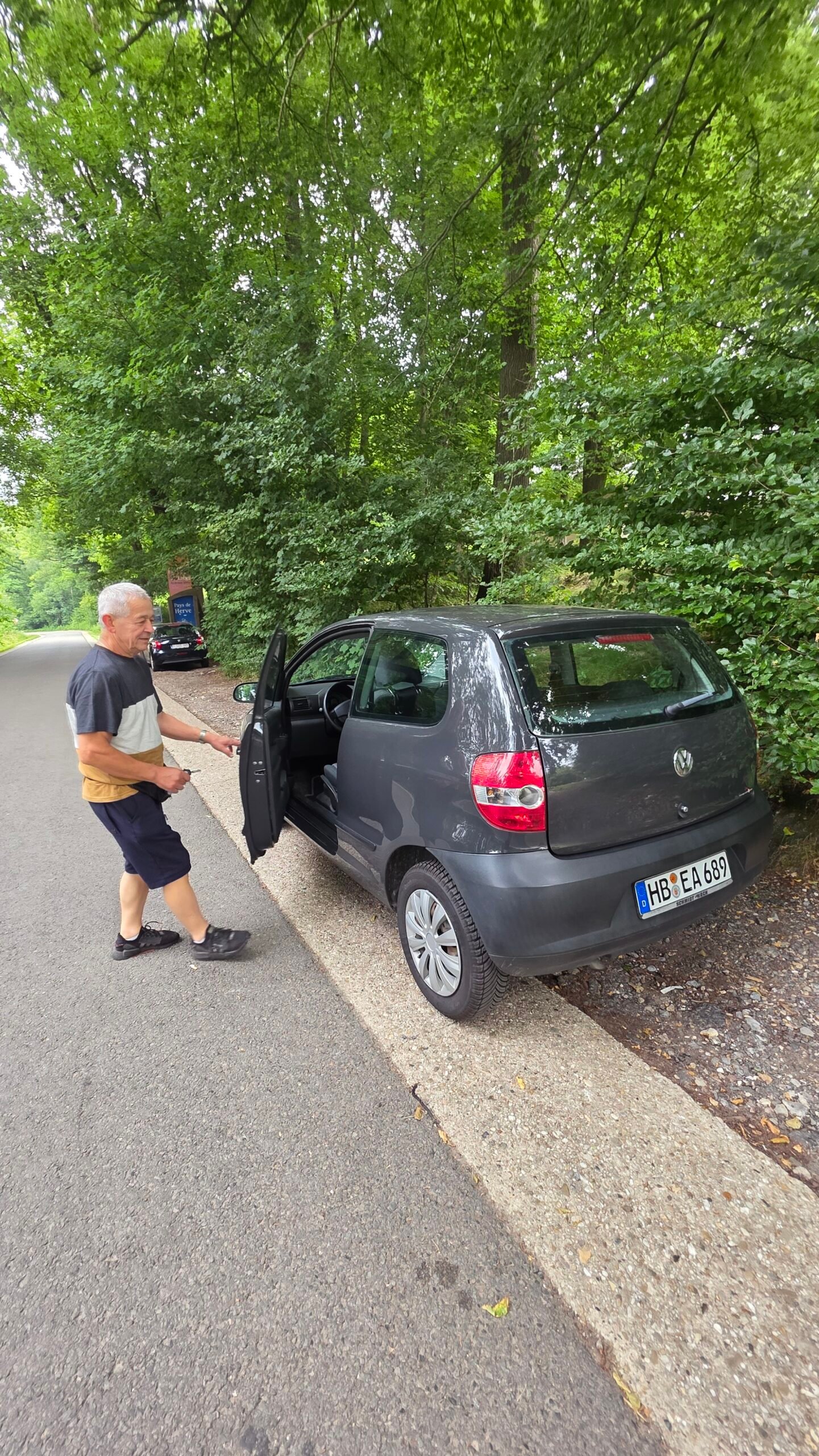
Visit Vaalserberg near Vaals, continue to the High Fens and Signal de Botrange, then reach Kneiff near Wilwerdange. A car makes the three-stop itinerary convenient, but allow for navigation, breaks and changing traffic.
03 / Vaalserberg
Vaalserberg.
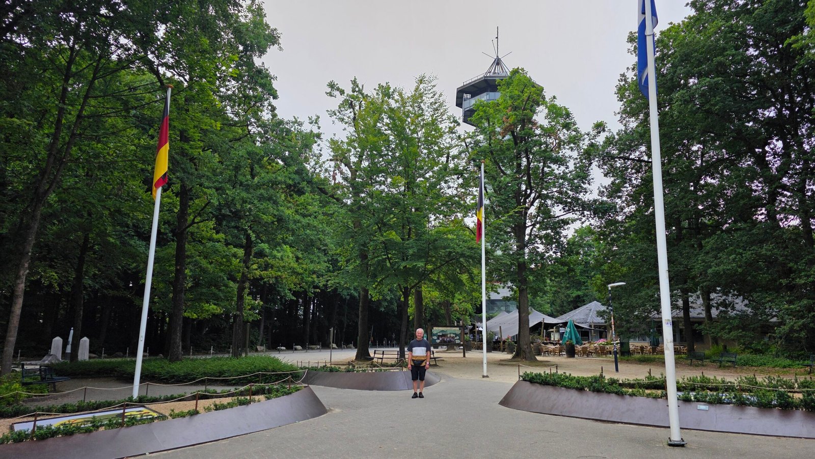
Vaalserberg is the highest point in the European Netherlands, at approximately 322.5 m. The wooded hill near Vaals also hosts the meeting point of the Netherlands, Belgium and Germany. Visit Zuid-Limburg.

04 / Which Netherlands?
Which Netherlands?.
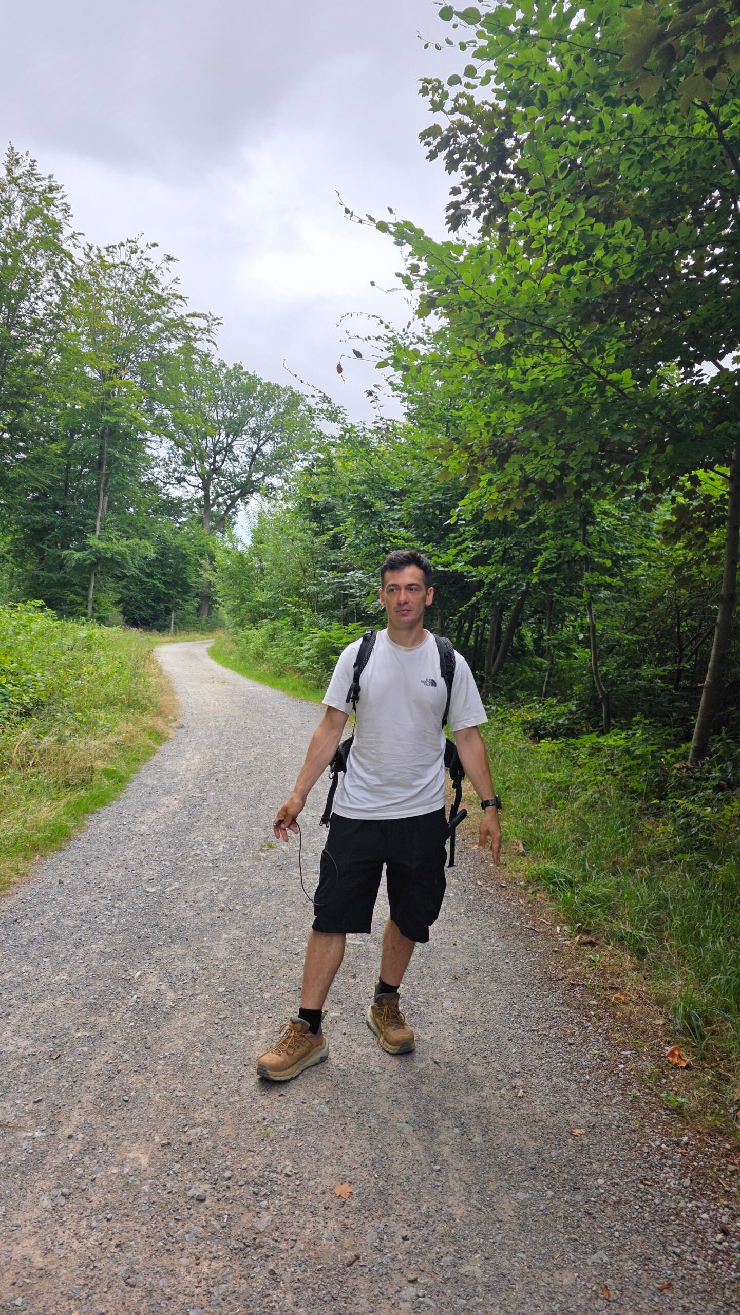
Vaalserberg is the high point of the European Netherlands. If the Caribbean Netherlands is included, Mount Scenery on Saba is higher. Be clear which geographical definition your list uses. Dutch climbing association.
05 / The border point
The border point.
The three-country point at Vaalserberg joins the Netherlands, Belgium and Germany. It is not the Belgium–Germany–Luxembourg tripoint. The border monument, nearby attractions and national high point are related but should not be assumed to be the same physical object.
06 / Walking at Vaals
Walking at Vaals.
Wooded paths and visitor facilities around the hill offer options for a longer stop. Check a local map, current opening and accessibility before choosing a trail or attraction.
07 / Signal de Botrange
Signal de Botrange.
Belgium’s natural high point lies in the High Fens at about 694 m. The surrounding plateau and peatland feel very different from the wooded Vaals stop. Choose permitted paths and respect local signs.

08 / The 700-metre steps
The 700-metre steps.
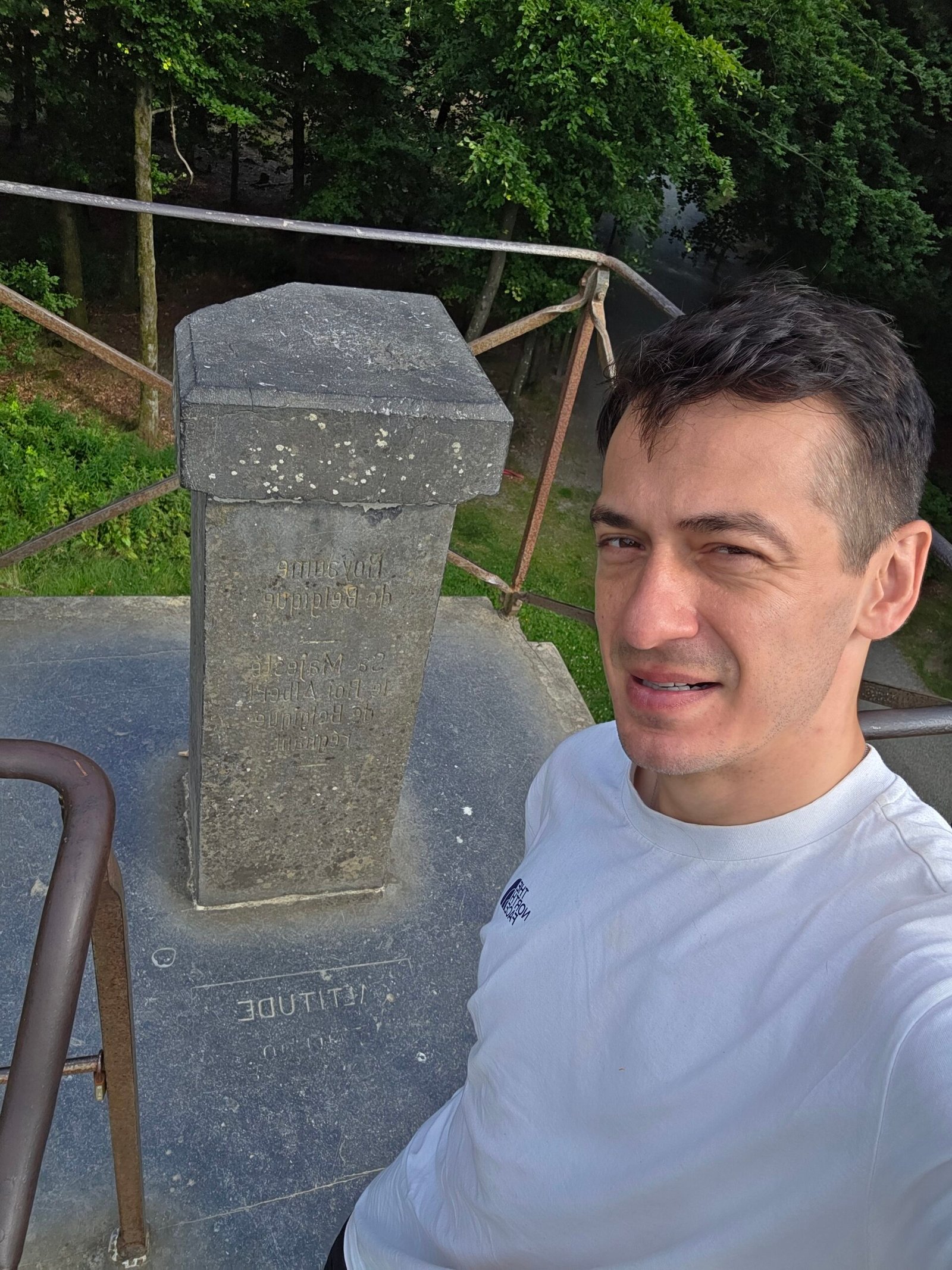
The artificial Butte Baltia mound and its steps bring visitors up to approximately 700 m. That built platform is distinct from the natural ground height of Signal de Botrange; do not confuse it with the nearby tower.
09 / High Fens reserve
High Fens reserve.
The High Fens is a sensitive protected landscape. Stay on authorised paths and boardwalks, observe closures and warning signs, and check local access before setting out. East Belgium walking information.
10 / A longer walk
A longer walk.
East Belgium describes a 6.4 km route through the Botrange fens. Check the current route, conditions and access before leaving; walking time and difficulty depend on weather and the group. Official route.
11 / Kneiff in Luxembourg
Kneiff in Luxembourg.
Kneiff, near Wilwerdange and Huldange, is Luxembourg’s highest point at roughly 560 m. The local visitor site gives 560.05 m on its English page. Visit Troisvierges.

12 / Kneiff or Burrigplatz?
Kneiff or Burrigplatz?.
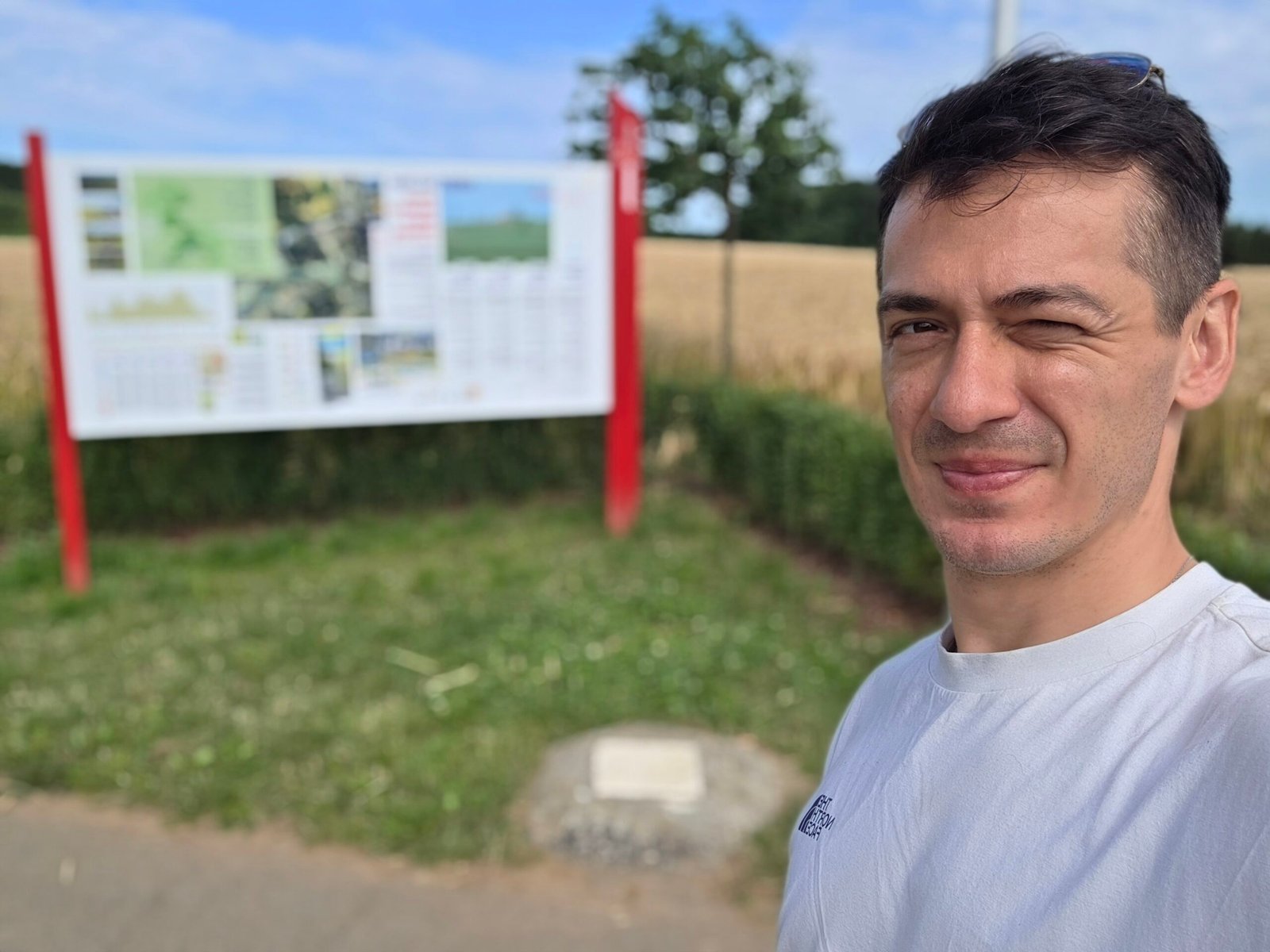
Nearby Burrigplatz was long considered the highest point. The Troisvierges visitor office now identifies Kneiff as higher; its English page gives Burrigplatz as 558.35 m. Different local publications round Kneiff slightly differently. Local visitor information.
13 / Finding Kneiff
Finding Kneiff.
The point is easy to miss among roads and agricultural land. Use the coordinates on the local visitor page and an up-to-date map, park legally and respect fields, gates and residents. Location and coordinates.
14 / Driving between stops
Driving between stops.
Plan the full route rather than relying on my 2025 drive. Roadworks, traffic and your exact parking location affect times. Leave room for a meal and short walks instead of treating the journey as a race.
15 / Parking
Parking.
Use signed public parking and check local charges and hours. Avoid stopping on bends, blocking access roads, gates or farm entrances.
16 / Public transport
Public transport.
Rail and buses can form part of a wider trip, but the final connections to each high point differ. Consult current national and local journey planners, especially on weekends, and check the return before setting out.
17 / How much time?
How much time?.
My father and I visited the three points in one morning. For your own trip, allow more time for traffic, walking and breaks; the journey can comfortably be spread over a day or longer.
18 / Accessibility
Accessibility.
The three areas have different surfaces, slopes and facilities. Paths, boardwalks, steps and parking arrangements vary. Check each exact route with local visitor services before travelling.
19 / Families
Families.
The high points make a varied family road trip, with opportunities to walk and stop for food. Supervise children near traffic, steps and waterlogged ground, and pick routes suited to the group.
20 / Dogs
Dogs.
Local rules can differ, especially in protected areas. Check current signs and reserve guidance for your specific route and keep dogs under control around wildlife and livestock.
21 / Weather
Weather.
The High Fens can be cooler, wetter and windier than nearby towns. Pack layers and rain protection, check forecasts for each stop and avoid exposed areas during thunderstorms.
22 / When to go
When to go.
Each landscape changes through the year. Rain, snow, ice, conservation closures and short winter daylight can affect access; a summer calendar date alone does not guarantee dry paths.
23 / Food and water
Food and water.
Bring drinking water and a picnic or check current café opening hours. We shared a roadside breakfast during our trip; choose a safe public place and take rubbish with you.


24 / Maps and documents
Maps and documents.
Save a current map for the journey and check entry and identity-document requirements for your nationality. Border and transport arrangements can change even within the Schengen area.
25 / Respect the landscape
Respect the landscape.
Keep to public routes, leave gates as you find them, respect farmland and protected habitats, and carry litter away. Do not enter private land to improve a photograph.
26 / Emergency
Emergency.
For an emergency in the Netherlands, Belgium or Luxembourg call 112 and describe your location. A saved map or road name helps responders. European emergency number.
27 / Suggested itinerary
Suggested itinerary.
Start at Vaals, continue to Signal de Botrange for the high point and an optional permitted walk, then finish at Kneiff. Adjust the order to your arrival and leave flexible time for weather and traffic.
28 / Budget
Budget.
The three countries use the euro. Allow for transport, parking, food, accommodation and any optional attractions. The calculator below uses your own current estimates.
28 / Saved checklist
Prepare for three high points.
Saved only in this browser. The three high points are in different places. Stay on public paths, follow local signs and check nature-reserve closures before visiting.
29 / Cost calculator
Use your own quotes.
Plan in euros.
Enter your own current prices in EUR. Vehicle and main travel are shared; the other amounts are per person. Include any park, guide and transfer quotes under the appropriate fields. Blank entries count as zero.
My story, FAQ & sources
Three high points with my father.
On 13 July 2025 my father and I shared a very different morning after my journey to Elbrus. He picked me up at Düsseldorf and we slept in the car near Vaalserberg.
We visited the Netherlands, Belgium and Luxembourg in one morning: Vaalserberg, Signal de Botrange and finally Kneiff. My diary recorded approximate arrival times of 08:31, 09:37 and 10:47. The landscape changed at each stop, from woodland to the High Fens and Luxembourg countryside.
Between the stops we shared a simple breakfast of ham, cheese, tomatoes and coffee. The high points were gentle, but travelling with my father made the morning special.
Frequently asked questions
What are the three Benelux high points?
Vaalserberg in the European Netherlands, Signal de Botrange in Belgium and Kneiff in Luxembourg.
Can I visit all three in one day?
Yes, a car makes it practical; leave enough time for travel, breaks and changing conditions.
How high is Vaalserberg?
Approximately 322.5 m.
Is Vaalserberg the highest point of the whole Netherlands?
It is highest in the European Netherlands; Mount Scenery on Saba is higher if the Caribbean Netherlands is included.
Which three countries meet at Vaalserberg?
The Netherlands, Belgium and Germany.
How high is Signal de Botrange?
Its natural ground is about 694 m.
Why is 700 m mentioned at Botrange?
The artificial Butte Baltia mound raises the visitor platform to around 700 m.
Can I walk in the High Fens?
Yes, on permitted paths. Check current reserve rules, signs and closures.
How high is Kneiff?
About 560 m; the local English visitor page gives 560.05 m.
Is Burrigplatz the highest point of Luxembourg?
The local visitor office identifies nearby Kneiff as higher.
Where is Kneiff?
Near Wilwerdange and Huldange in northern Luxembourg.
Are the three high points at the same border?
No. They are separate destinations; the Vaals tripoint is Netherlands–Belgium–Germany.
Do I need a car?
It is convenient for the combined trip, although individual public-transport options may exist.
Are the stops suitable for children?
Choose suitable routes and supervise near roads, steps and wet ground.
Can wheelchair users reach every point?
Conditions differ; ask local visitor services about the specific paths and facilities.
What currency is used?
The euro in all three countries.
What should I bring?
Water, layers, suitable shoes, a map and any documents needed for your journey.
What is the emergency number?
Call 112.
When did Adrian visit?
13 July 2025, with his father.
Sources and current information
Research checked 3 November 2026. Conditions, access and prices can change.
- Visit Zuid-Limburg: Vaalserberg ↗ — Vaalserberg and the border area
- Dutch climbing association: highest point of the Netherlands ↗ — European and Caribbean Netherlands
- East Belgium: High Fens walking route ↗ — High Fens paths and local information
- Visit Troisvierges: Kneiff ↗ — Kneiff location and reported height
- European Union: 112 emergency number ↗ — European emergency number