
01 / Start here
Start here.
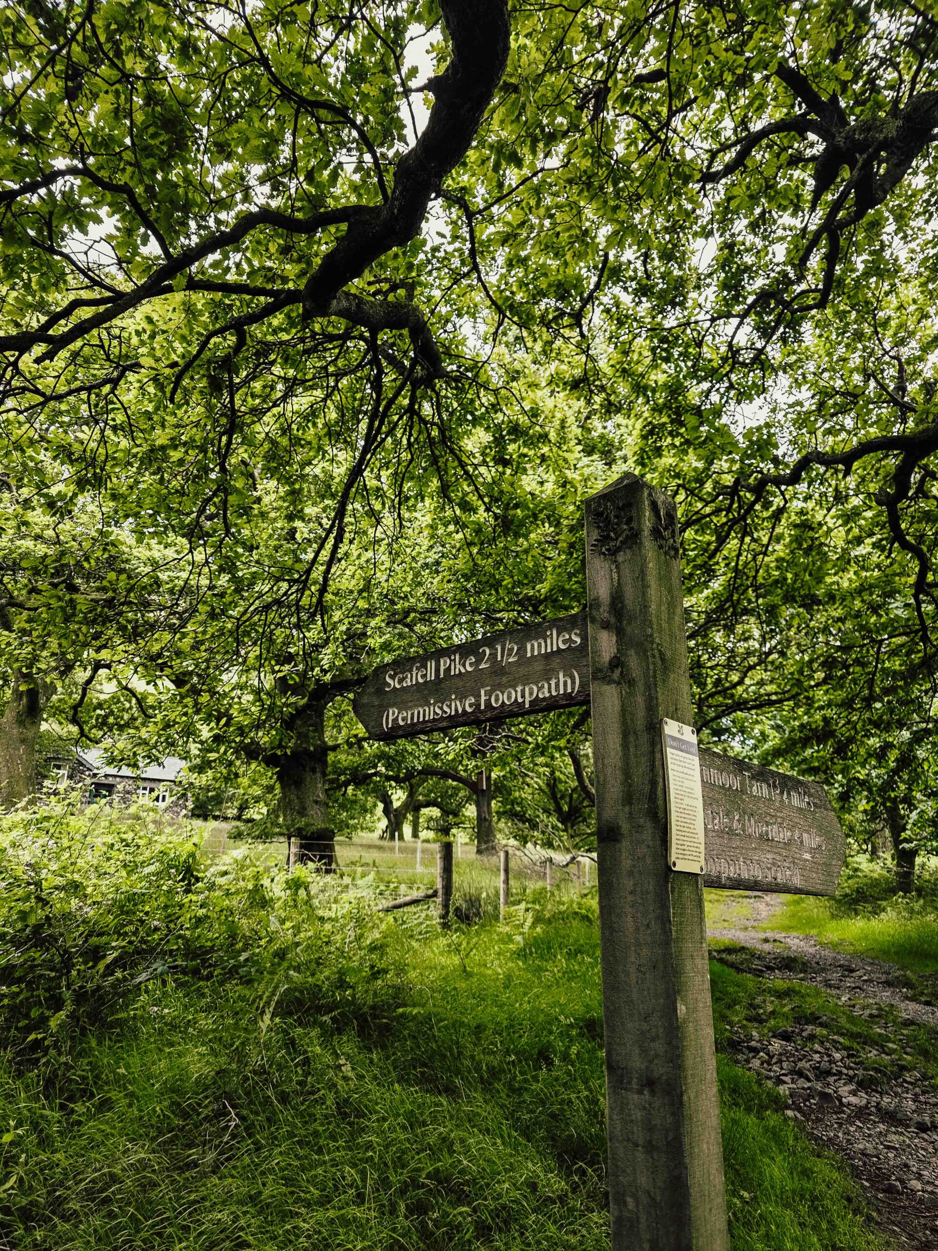
Scafell Pike is England’s highest mountain at 978 m. The National Trust rates its Hollow Stones route from Wasdale challenging; the route page gives five hours. Mist, high water and rough ground make navigation important. National Trust route.
02 / Choose a route
Choose a route.
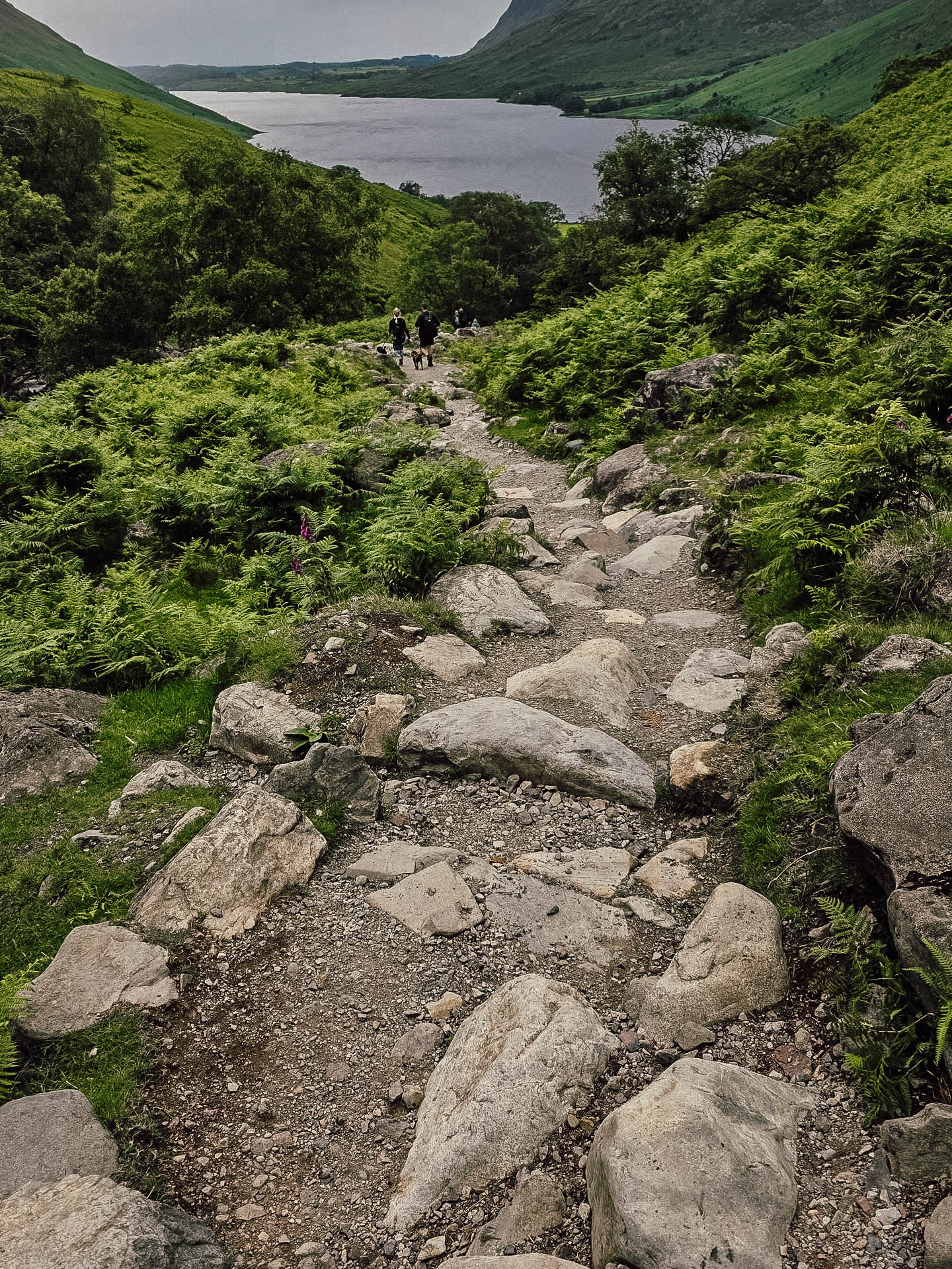
The Wasdale approach is direct but steep and rough. Other approaches from the Lake District are longer or different in character; choose an appropriate published route and plan its transport and return.
03 / Lake Head to Lingmell Gill
Lake Head to Lingmell Gill.
The National Trust route starts at Lake Head car park beside Wasdale campsite and follows the path upstream. Check the official map and conditions. Route and map.
04 / Crossing the beck
Crossing the beck.
The beck crossing can become difficult or impassable after rain. Conditions may change between ascent and descent. Turn back rather than attempting an unsafe crossing. National Trust warning.
05 / Brown Tongue and Hollow Stones
Brown Tongue and Hollow Stones.
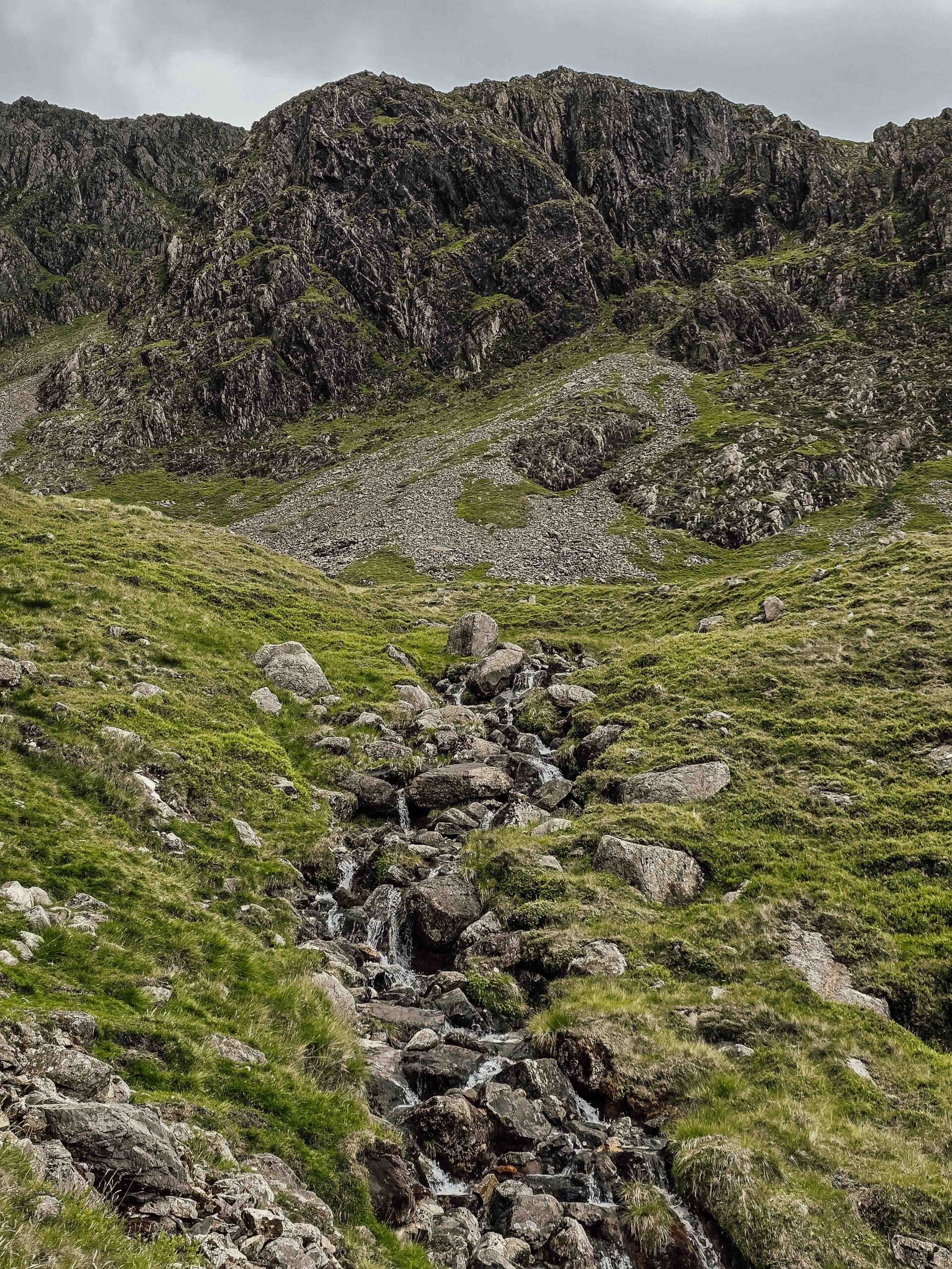
The ascent climbs the stone-pitched path before entering rougher terrain through Hollow Stones. Take the correct junction and allow time for steep rock and changing conditions.
06 / Lingmell Col junction
Lingmell Col junction.
The junction above Lingmell Col is important for your return. Take time to identify it on a map and look back during ascent. Going the wrong way can lead toward steep ground above Piers Gill. Descent instructions.
07 / The summit plateau
The summit plateau.
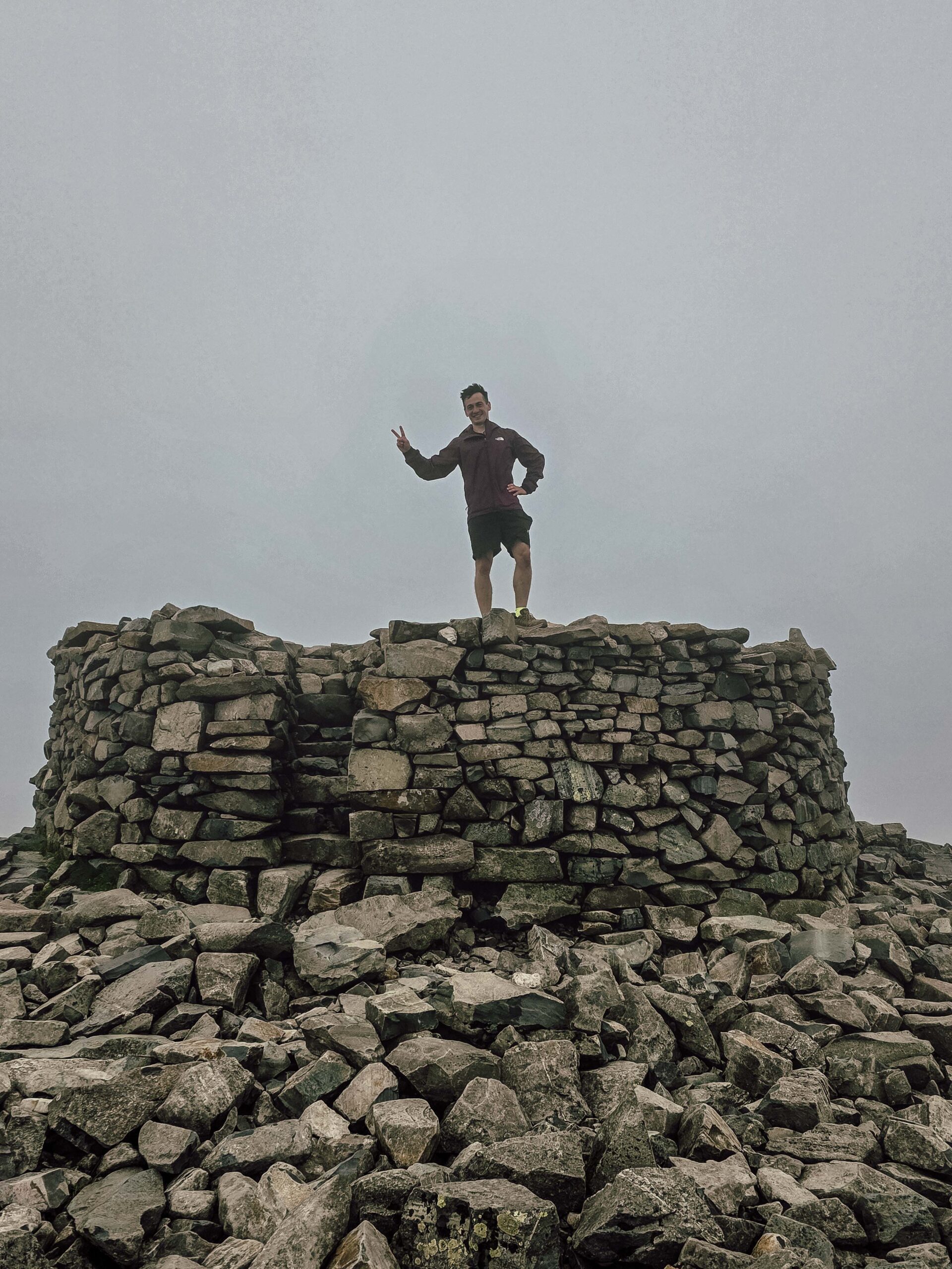
Loose rock, multiple paths and poor visibility make the plateau confusing. The summit structure is a memorial; treat it respectfully and navigate from your map rather than blindly following other walkers.
08 / Return to Wasdale
Return to Wasdale.
Take a careful bearing from the summit, find the correct junction above Lingmell Col and retrace the route to the beck. The National Trust provides detailed directions; do not rely on memory in mist. Official route stages.
09 / Distance and timing
Distance and timing.
The National Trust page lists 3.5 miles and five hours for its route; the published distance should be checked against its map and your actual complete itinerary. Allow generous time for the full return and conditions.
10 / Getting to Wasdale
Getting to Wasdale.
Wasdale is reached from the west of the Lake District. Plan the last leg and return carefully; public transport options are limited, so verify current services before depending on them.
11 / Approach road and parking
Approach road and parking.
Check current road and Lake Head parking conditions, especially in busy periods. Allow time for narrow local roads, drive considerately and do not obstruct access. Wasdale information.
12 / Where to stay
Where to stay.
Wasdale and nearby western Lake District communities offer accommodation and camping. Verify current availability and terms, and check travel time to your selected start.
13 / A mountain memorial
A mountain memorial.
The summit and surrounding land have a memorial connection to those lost in the First World War. Keep the summit area tidy and respect the memorial and other visitors.
14 / Explore Wasdale
Explore Wasdale.
Wastwater, the western fells and lower-level routes offer rewarding alternatives when the summit weather is poor. Check a published route and conditions for the walk you choose. Explore Wasdale.
15 / Mountain weather
Mountain weather.
Check the mountain forecast for wind, rain, cloud base, visibility and temperature, not just the forecast in town. Conditions can change rapidly; postpone or turn back if needed. Met Office mountain forecasts.
16 / Season and winter
Season and winter.
Longer summer daylight can help, but rain and cold remain possible. Snow and ice require additional winter skills and equipment; choose a different objective if your party is not prepared.
17 / Experience and fitness
Experience and fitness.
A popular mountain is still a strenuous day out. Choose a route for the least experienced member, build hill fitness, and practise using a map and compass before relying on them in cloud.
19 / What to pack
What to pack.
Take waterproofs, warm layers, appropriate footwear, food, water, a headtorch, first aid, an emergency shelter, navigation and spare phone power. Adjust equipment for conditions and the experience of your party.
20 / Food and water
Food and water.
Carry enough food and water for the full walk and a reserve for delays. Do not assume summit services are open or that untreated stream water is safe.
21 / When to turn back
When to turn back.
Decide your turnaround time before setting out and reassess if the weather, pace, visibility or health of anyone in the group deteriorates. Reaching the top is only half the journey.
22 / Walking with dogs
Walking with dogs.
Check local access rules, use a lead around livestock and wildlife, and consider steep ground, weather and the ability of your dog. Never assume a scrambling route is suitable for a dog.
23 / Families and accessibility
Families and accessibility.
Assess the full route for every person in your group, including the descent, weather and daylight. Rough paths and steep terrain limit wheelchair and pushchair access; consult the land manager for alternatives.
24 / Emergency plan
Emergency plan.
Call 999 or 112, ask for Police and then Mountain Rescue, and give your location and details of the incident. Keep the casualty warm and follow instructions; signal and rescue response may be limited. Mountain rescue advice.
25 / Care for the landscape
Care for the landscape.
Keep to established paths where safe, close gates, respect livestock and other visitors, and take all litter home. Avoid shortcuts that damage fragile mountain vegetation.
26 / Photography
Photography.
Weather and visibility change quickly. Keep your camera secure in wind and rain, protect it from moisture, and never step off a safe path for a photograph.
27 / A mountain day
A mountain day.
Allow time for your chosen route, breaks, navigation and the return. Keep a spare day or a lower-level alternative in case the mountain forecast is unsuitable.
28 / Costs and budget
Costs and budget.
Budget for travel, accommodation, parking, food and any transport. The calculator below uses your own current prices in pounds, with no live fares or prices implied.
28 / Saved checklist
Prepare for a mountain day.
Saved only in this browser. The summit plateau is difficult to navigate in mist. Carry a map and compass, check the forecast and be prepared for difficult beck crossings.
29 / Cost calculator
Use your own quotes.
Plan in pounds sterling.
Enter your own current prices in GBP. Vehicle and main travel are shared; the other amounts are per person. Include any park, guide and transfer quotes under the appropriate fields. Blank entries count as zero.
My story, FAQ & sources
Into the Lake District mist.
After Slieve Donard I flew to Manchester, collected a hire car and drove toward Wasdale. The roads through the Lake District passed stone walls, green valleys and dramatic fells.
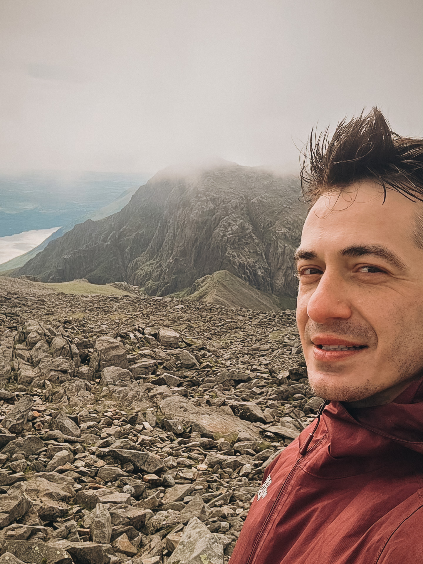
I started from the Wasdale Head area in light rain. My diary records a surprisingly quick 1 hour 10 minutes to the summit, but the top was hidden in fog. The rocky landscape and cairns felt atmospheric even without a view.
That ascent time describes my own day, not a planning estimate. Low cloud makes the summit and return particularly demanding: carry proper navigation and allow time for a safe descent.
Frequently asked questions
Where is Scafell Pike?
In the Lake District in England.
How high is it?
978 m.
Where does the National Trust route start?
At Lake Head car park near Wasdale campsite.
Is the Wasdale route easy?
No. It is steep and challenging, with rocky terrain and navigation hazards.
How long should I allow?
The National Trust gives five hours for its published route; allow more for your group and conditions.
Can rain affect the beck crossing?
Yes. It may become difficult or impassable, including during the return.
Why is Lingmell Col important?
The junction is easy to miss on descent and a wrong route can lead toward steep ground.
Can I rely on cairns?
No. Informal cairns can be misleading; use a map, compass and navigation skills.
Is Scafell the same mountain?
Scafell and Scafell Pike are different summits.
Can I hike in cloud?
Only with the skills and equipment to navigate safely; consider postponing in poor conditions.
Can dogs come?
Check the National Trust guidance and keep dogs on a short lead around livestock.
Is the route wheelchair accessible?
The steep rugged mountain route is not suitable for wheelchairs or pushchairs.
Is parking guaranteed?
No. Check current arrangements and have a legal alternative.
Are there facilities on the summit?
Do not rely on summit facilities; carry what you need.
How fast did Adrian climb?
His diary records 1 hour 10 minutes to the summit, not a recommended time.
How do I summon help?
Call 999 or 112 and ask for Police and Mountain Rescue.
Sources and current information
Research checked 3 November 2026. Conditions, access and prices can change.
- National Trust: Scafell Pike via Hollow Stones ↗ — Detailed Wasdale route and safety
- National Trust: Wasdale ↗ — Visitor information and local walks
- Mountain Rescue England and Wales: Wasdale team ↗ — Local rescue area
- Met Office: calling mountain rescue ↗ — Emergency planning and mountain rescue
- Met Office: mountain forecasts ↗ — Regional mountain weather forecasts