
01 / Start here
Start here
Mulhacén rises above Andalucía’s Sierra Nevada. It is the highest point on the Iberian Peninsula and mainland Spain; Teide in the Canary Islands is higher and is Spain’s highest mountain overall. This guide focuses on the southern approaches and my 2025 walk from Hoya del Portillo. My diary records 3,479 m; an Andalusian park page lists 3,482 m, so published elevations differ. Andalusian park information ↗.

02 / Compare routes
Compare routes
Hoya del Portillo: a long, high mountain day on foot from the vehicle control area; this was my route. Southern SIAC shuttle: when operating, it gives a higher start from Capileira, but requires reservations and a reliable return plan. Poqueira refuge: a possible overnight approach, subject to availability. The steep north face is a very different technical undertaking. Ask the park about your exact route and current conditions.
03 / Hoya del Portillo
Hoya del Portillo
The regional authority describes Hoya del Portillo at around 2,150 m, reached from Capileira by roughly 10 km of unpaved track. Check whether the road, gate and parking are open before setting out. The official Poqueira trail description covers the refuge, not a complete summit round trip. Official trail and access ↗.

04 / Through the forest
Through the forest
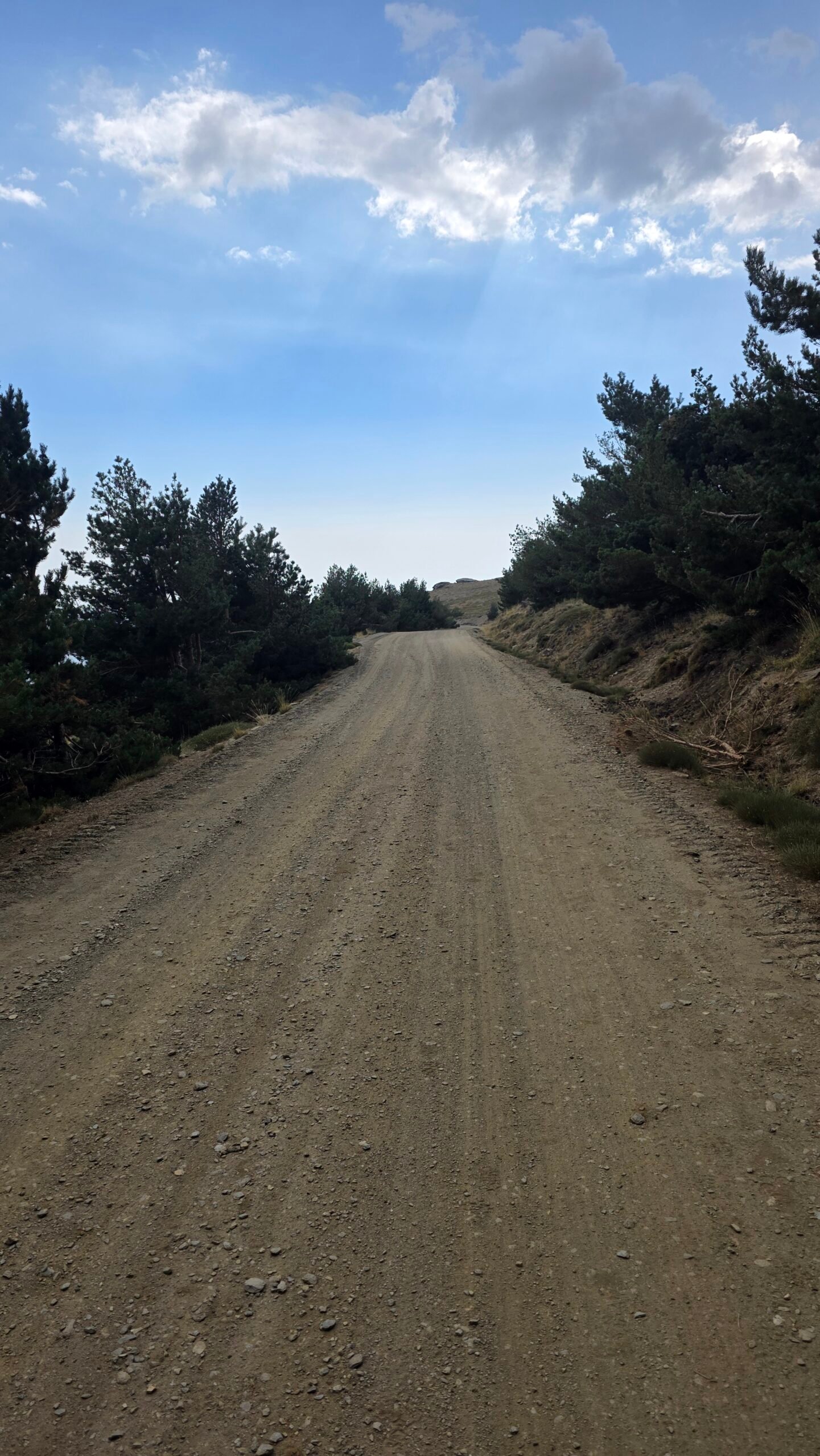
From the control area follow your verified route through pine woodland. Junctions and tracks require attention: use an offline map and confirm the direction on site rather than relying on a single marker. Keep a note of the route you will follow on return.
05 / Above the trees
Above the trees
As the southern approach leaves the trees, shade becomes scarce and wind, sun and changing visibility matter more. Follow the route chosen in advance and check junctions against your map. Carry the water and layers you need before leaving the village.

06 / Towards the high ridge
Towards the high ridge
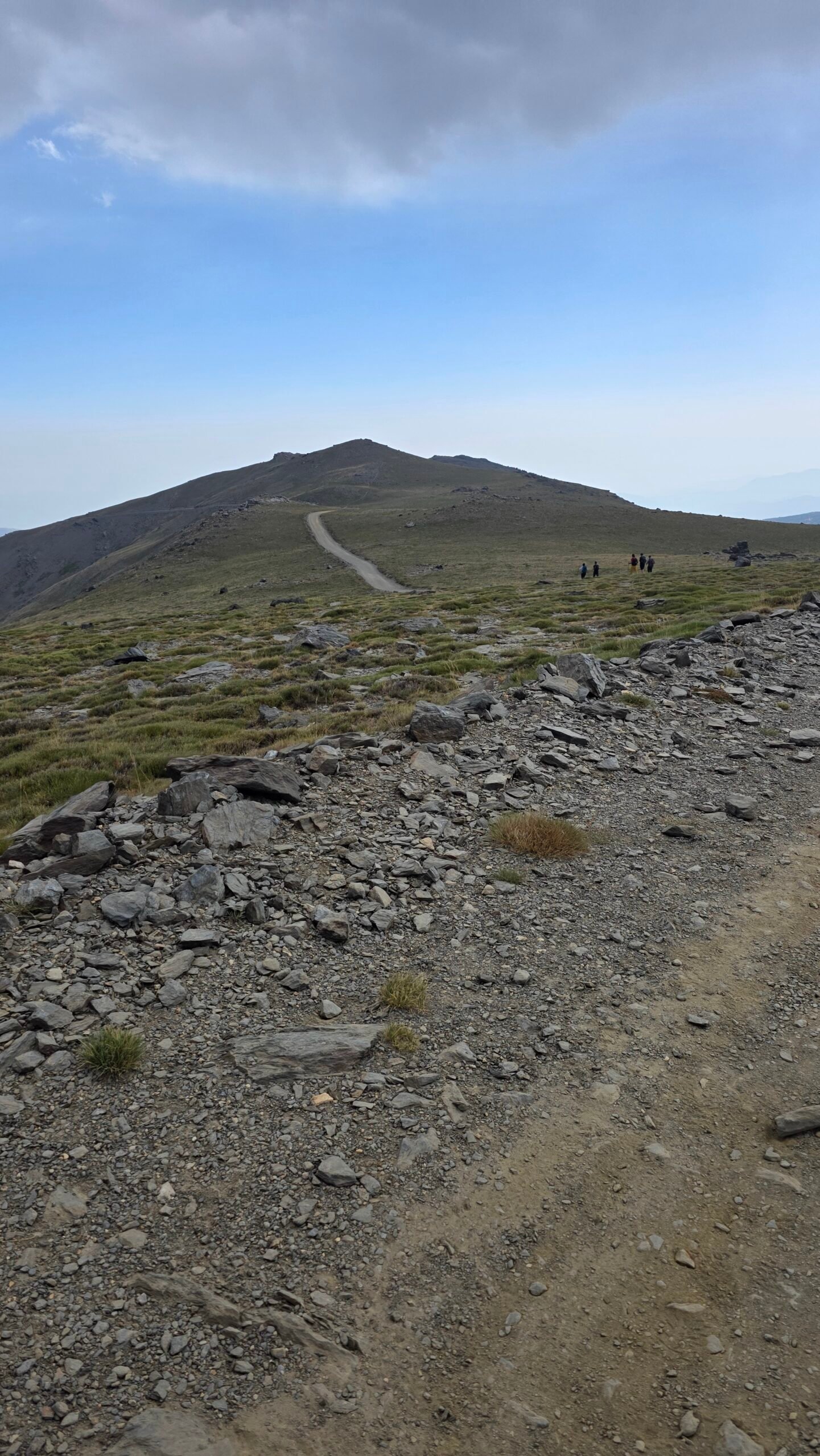
The southern slopes involve a substantial climb at altitude even in dry summer conditions. Take breaks, reassess the weather and allow for the whole descent. A fast ascent in my diary is a personal experience, not a guidebook target.

07 / At the summit
At the summit
The summit is a remarkable viewpoint when conditions allow, but visibility is never guaranteed. Wear warm layers and keep the visit short if clouds, wind or thunder are developing. Do not wait for lightning to reach exposed ground before deciding to descend.
08 / The descent
The descent
Plan the descent and transport before starting. On an out-and-back hike, retrace the route you have verified; loose ground, fatigue and poor visibility can slow the return. A different descent needs its own map, transport and time allowance.
09 / The southern shuttle
The southern shuttle
The park’s SIAC service connects Capileira with the high mountains when operating. Confirm the current stop, operating dates, reservations, return time and weather cancellations directly. An older official brochure describes a 7.3 km, 2½-hour one-way ascent from Paraje del Cascajar; this is not a return time and the present drop-off or route may differ. Capileira information point ↗ · Official brochure ↗.

10 / Poqueira and La Caldera
Poqueira and La Caldera
The guarded Poqueira refuge can help divide a longer trip; check opening, booking, meals and current approach directly. The park describes La Caldera as an unguarded support shelter, so do not assume staff, supplies or space. The official Hoya–Poqueira trail is about 8.3 km one way to the refuge, not to the summit. Poqueira trail ↗ · La Caldera ↗.
11 / Getting to the region
Getting to the region
Capileira is a practical southern base. From Granada or Málaga, allow for the onward journey through the Alpujarra and a separate final approach to the trailhead. Check live road information and avoid a long mountain drive when tired. DGT traffic information ↗.
12 / Road and parking
Road and parking
The regional authority describes the road from Capileira to Hoya del Portillo as a dirt track. Surface, weather, access restrictions and parking can change. Check the current situation with the park and your rental agreement; park only where permitted and leave access clear.
13 / Public transport
Public transport
Check current ALSA services to Capileira or nearby villages. A village bus does not necessarily connect with the trailhead or the mountain shuttle. Confirm both directions, seasonal service and a backup before committing to a summit day. ALSA timetables ↗ · Park information point ↗.
14 / Where to stay
Where to stay
Capileira and nearby villages offer convenient bases for the southern side. Confirm accommodation and early departure arrangements directly. A refuge stay requires a separate reservation and a realistic plan for reaching it; do not count an unstaffed shelter as a booked bed.
15 / When to go
When to go
Summer and early autumn can offer snow-free hiking, but the calendar alone cannot guarantee conditions. Lingering snow, wind and storms may change the route. Ask the park about current ground conditions, shuttle operation and restrictions before choosing your date.
16 / Weather and storms
Weather and storms
Use AEMET’s mountain forecast and warnings, then check again close to departure. The park warns of sudden changes and frequent spring and summer thunderstorms. Plan an early start and turn back before exposed terrain becomes unsafe. AEMET mountain forecasts ↗ · Park safety guidance ↗.
17 / Snow and ice
Snow and ice
Snow, hard ice, avalanches and short daylight can transform the hike. The summer route description is not a winter plan. Assess avalanche and weather conditions, use appropriate equipment and skills, and consult local specialists or a qualified guide.
18 / Water and food
Water and food
Do not assume streams, springs or refuges will provide safe water or be open. Carry sufficient drinking water, food and a reserve for delays; heat and altitude increase the consequences of running short. Ask locally about the specific route before relying on any source.
20 / Mountain safety
Mountain safety
A high start does not remove the effects of altitude. Headache, nausea, unusual fatigue or worsening symptoms are reasons to stop, descend and seek help as appropriate. Share your route and return time, carry warm and waterproof layers and agree a turnaround time before the ascent.
21 / Emergency
Emergency
In an emergency call 112 in Spain. Give your location, injuries, group size and conditions; follow the operator’s instructions. Coverage is not guaranteed, so carry a charged phone and power bank, and leave your plan with someone reliable. 112 Andalucía ↗.
22 / Protect Sierra Nevada
Protect Sierra Nevada
The national park prohibits fires, littering and free camping without authorisation, and asks visitors to stay on paths and keep dogs controlled. Check current park rules and any fire or overnight restrictions before travelling; take all waste away. National park rules ↗.
23 / Beyond the mountain
Beyond the mountain
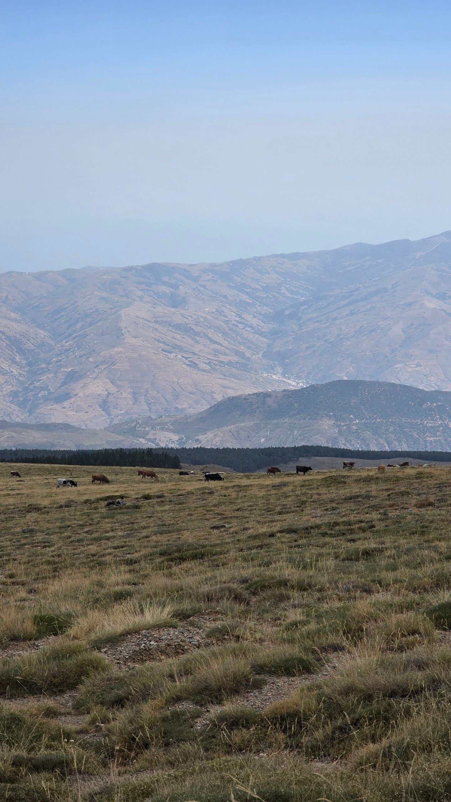
Capileira, Bubión and Pampaneira provide a gentler way to experience the southern valleys. Granada’s Alhambra and historic Albayzín offer a contrasting cultural day. Check individual access, ticket availability and local transport before booking. UNESCO Granada listing ↗.
24 / Trip ideas
Trip ideas
Two days: arrive and prepare in the Alpujarra, then hike on the best forecast day. More time: add a spare weather day, a village walk or Granada. If you plan a refuge night, confirm the booking and route first; leave flexibility for closures or storms.
25 / Photography
Photography
The forest, open southern slopes and summit each offer different light. Protect the camera from dust and rain, and avoid stopping in exposed places when weather deteriorates. The photographs selected for the guide are from my own 9 August 2025 journey.
26 / Costs
Costs
Budget for travel, a vehicle or transfers, accommodation, food, any shuttle or refuge booking, insurance and equipment. Prices and availability change, so confirm them with each provider. A calculator can accept your own euro amounts without presenting them as live prices.
27 / Saved checklist
Saved checklist
Saved only in this browser.

28 / Cost calculator
Cost calculator
Enter your own prices in euros. Vehicle and main travel are shared; all other monetary amounts are per person. Blank entries count as zero.
29 / My climb
My climb
On 9 August 2025, after Torre in Portugal, I drove back to Lisbon Airport and flew to Málaga. I slept in the airport, collected a rental car at sunrise and drove towards Sierra Nevada. Past Capileira I took a wrong turn and nearly drove off the road while searching for Hoya del Portillo. Fatigue and narrow mountain roads made a dangerous combination.
I reached the trailhead shortly before 11:00 and started at 11:10 under clear skies. The trail began in pine forest and opened onto dry mountain slopes. As I climbed, the air cooled and clouds built; light rain fell near the upper slopes. At 14:00 I reached the summit, where I spent a few quiet minutes alone in near calm, looking towards the southern haze.
After I began descending, thunder grew louder and a powerful storm swept across the range. I reached the car soaked but safe and watched rain, wind and lightning over the mountains. That evening I returned the car in Málaga and slept at the airport again before the next flight.
The abrupt change from calm to lightning stayed with me. It was also when I felt the rhythm of continuous travel most clearly: airports, rental cars and summits merging into one journey. My times and decisions describe my experience, not a recommended pace or a weather-safety plan.
30 / Questions answered
Questions answered
Is Mulhacén Spain’s highest mountain?
It is the highest on mainland Spain and the Iberian Peninsula. Teide on Tenerife is higher.
Can I drive to the summit?
Do not assume private-vehicle access beyond the control area. Check current restrictions with the park.
Is the shuttle running?
Service is seasonal and can change. Contact the Capileira information point for current details and reservations.
Can beginners hike it?
It is a serious high-mountain day even in summer. Choose a suitable route and group, check conditions and seek a qualified guide if you lack experience.
Sources and current information
Research checked 2 November 2026. Conditions and services can change.