
01 / Start here
A high point you can explore responsibly.
Mount Olympus, also called Chionistra, rises to 1,952 m in the Troodos Mountains: Cyprus’s highest point. This is a different mountain from Mount Olympus in Greece.
The summit area is restricted and the Artemis Trail circles below it rather than reaching the top. Stay on public trails and respect signs, gates and instructions. Summit access overview.
- Highest point
- 1,952 mChionistra, Cyprus
- Suggested walk
- Artemis Trail7 km circular route
- Walking time
- 2.5–3 hoursAllow more for breaks
- Summit
- RestrictedDo not cross barriers
- My visit
- 13 August 2025Outside the controlled area
- Emergency
- 112European emergency number
02 / Summit access
A boundary matters more than a summit pin.
The summit area is reported as restricted. Conditions and boundaries can change: do not cross a fence, gate or warning sign, and follow instructions on site. The public Artemis loop is a way to experience the mountain without entering the summit area. Confirm current access with the authorities before travel. Access overview.
03 / Artemis Trail
The Artemis Trail at a glance.
The official description gives a 7 km circular walk, around 2.5–3 hours, graded 1. It follows the upper slopes at roughly 1,850 m through black pine woodland, with views and historic features. It is a walk around the mountain, not a route to the restricted summit. Official route description.
I visited the area but did not walk this loop during my 2025 visit; the details here come from the official trail information.
04 / Walking the loop
Follow the signed loop.
The forestry leaflet places the trailhead about 300 m from the road junction to Chionistra, with parking nearby; it also describes a roughly 2.4 km approach from Troodos Square. Check the current map and signs for the public trailhead. Follow the signed circuit and return to your start; do not divert towards closed installations. Forestry leaflet.
05 / Terrain and difficulty
Easy-graded still means a mountain walk.
Visit Cyprus grades Artemis 1, but an uneven path, exposure, heat, ice or slippery ground can make it harder. Wear suitable footwear, allow daylight and turn back if conditions exceed your group’s ability. Carry water: the forestry leaflet says drinking water is not available along the route.
06 / Atalanti Trail
A longer circuit: Atalanti.
The official hiking map lists Atalanti as a 14 km circular trail taking approximately 4–5 hours, grade 2. It is a separate, longer option: check its own trailhead, route, conditions and full daylight requirements before choosing it. Official hiking map.
07 / More walks
More than one way to enjoy Troodos.
The same official map lists the 3 km Caledonia trail at around 1.5 hours, grade 3. Check direction and transport for a linear walk, and confirm trail conditions locally. Do not combine times or distances from different trails as if they were one itinerary. Compare the trails.
08 / Getting to Troodos
Plan the journey to the mountains.
Troodos Square is a useful starting point for exploring the forest park. Allow for winding mountain roads and check current travel times from your airport or accommodation. My drive from Paphos is a personal memory, not a guaranteed route or journey time.
09 / Driving and parking
Mountain roads deserve time.
Use public roads, check your rental conditions, drive carefully on bends and park only in permitted spaces without blocking access. The official Artemis leaflet shows parking near its trailhead. In winter check road, snow and chain requirements before departing.
10 / Public transport
Check both legs of the trip.
Public transport can help connect towns, but a service to a particular trailhead cannot be assumed. Check current timetables, days of operation and the return trip with operators before relying on a bus. A taxi or rental car may be needed for the last leg. Check public transport.
11 / Where to stay
Choose a base that suits your plans.
Consider accommodation in the Troodos area or a mountain village if you want an early start, or stay nearer the coast for a mixed itinerary. Confirm seasonal opening, parking, meals, heating or air conditioning and cancellation terms directly.
12 / Best time to visit
The mountain changes through the year.
The forestry leaflet suggests March to November for Artemis, subject to conditions. Spring and autumn may suit walking, while summer can bring intense sun and winter can bring snow or ice. Seasonal dates are guidance, not a guarantee the trail is open or safe.
13 / Weather and heat
Heat can change the day.
Check the current forecast and any heat, wind, storm or fire warnings for the mountain area. Start early in hot weather, carry more water than you expect to need and adjust or cancel the walk when conditions are unsuitable. Temperatures at the coast and summit differ.
14 / Winter conditions
Snow turns a gentle route into a different trip.
Snow, ice, wind and shorter daylight can make paths and roads hazardous. Check local closures and road requirements and carry equipment and skills appropriate to actual conditions. If the route is icy or visibility poor, choose a safer alternative.
15 / Food and water
Bring water from the start.
The forestry leaflet says there is no drinking water along Artemis. Bring sufficient water and food for the weather and your group, with a reserve; do not depend on a café or spring being available. Take all waste away.
17 / Hiking safety
Look after the whole group.
Tell someone your itinerary and expected return, wear appropriate shoes and carry sun protection, layers and basic first aid. Check everyone’s comfort with the distance and terrain. Turn back for storms, poor visibility, signs of heat illness or an uncertain route.
18 / Emergency help
Save 112 before setting out.
Call 112 in an emergency. Give your location, the trail name, the problem and the number of people involved, then follow the dispatcher’s instructions. Reception may vary; a charged phone is useful but does not replace a shared plan.
19 / Protect the forest
Leave the forest as you found it.
Stay on permitted paths, carry out litter, avoid disturbing animals and plants and obey fire restrictions. Never light a fire outside authorised facilities. Check current forest rules and closures before visiting. Forest park information.
20 / Trees and wildlife
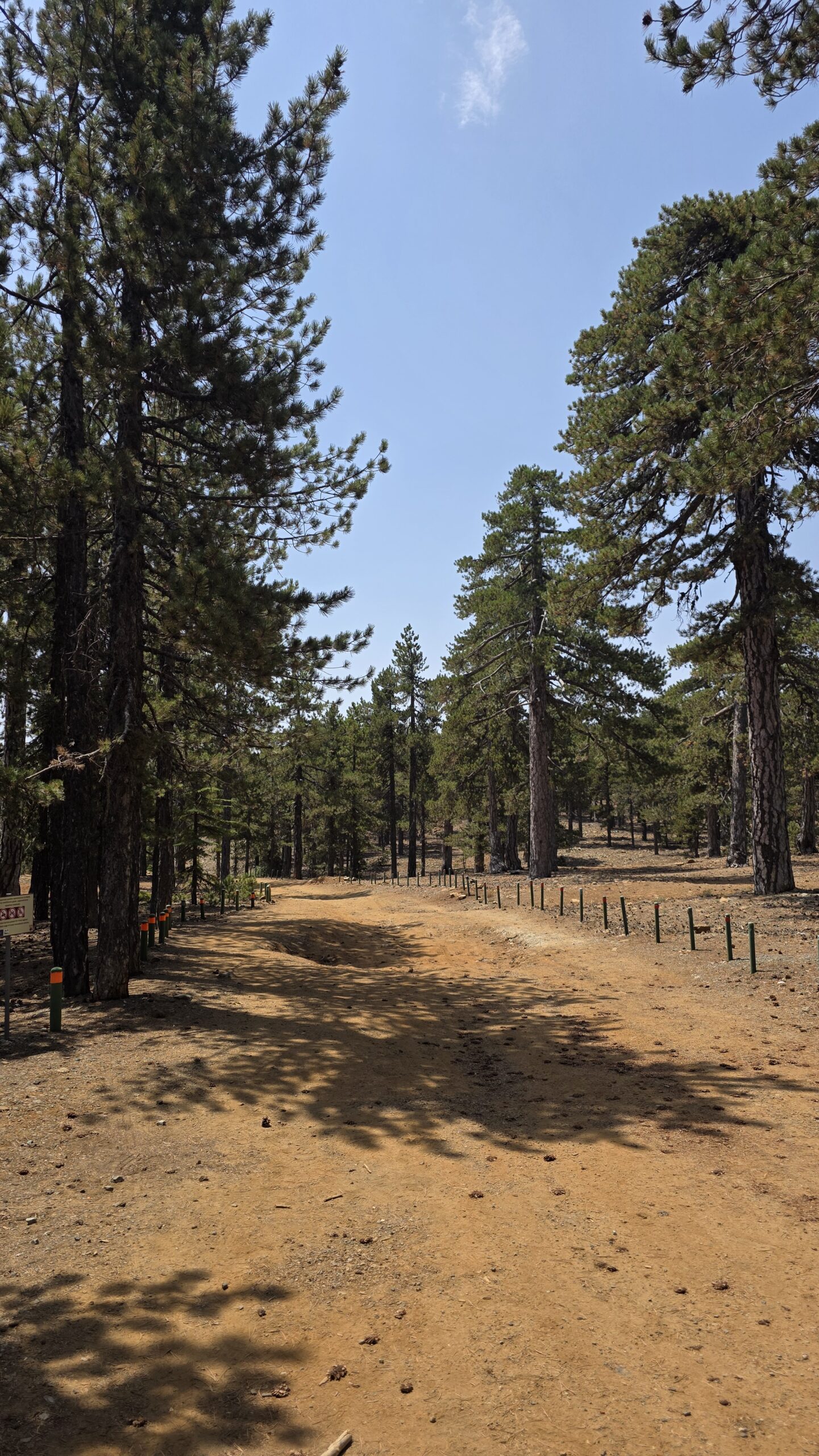
Walk among Troodos pines.
The Artemis route is known for its black pines and high-altitude forest. Observe plants without picking them and allow wildlife space. The forestry brochure describes the park’s habitats and why the area is protected. About the forest park.
21 / A landscape with history
Read the landscape as you walk.
The official Artemis description mentions ruins of Venetian-period fortifications known as the Walls of the Old Town. Enjoy historic features from the path, leave stones in place and follow any local protection signs. Trail description.
22 / Troodos villages
Make time for mountain villages.
Troodos makes a rewarding base for village streets, local food and a slower journey through the mountains. Choose a village that fits your route and check individual opening times and parking; mountain roads can make short map distances slower than expected.
23 / Painted churches
Discover the painted churches.
UNESCO’s Painted Churches in the Troodos Region are a series of churches with Byzantine and post-Byzantine wall paintings. They are spread across the region: select a few, check current access and opening directly, and dress respectfully. UNESCO listing.
24 / From mountain to sea
A mountain morning and a swim.
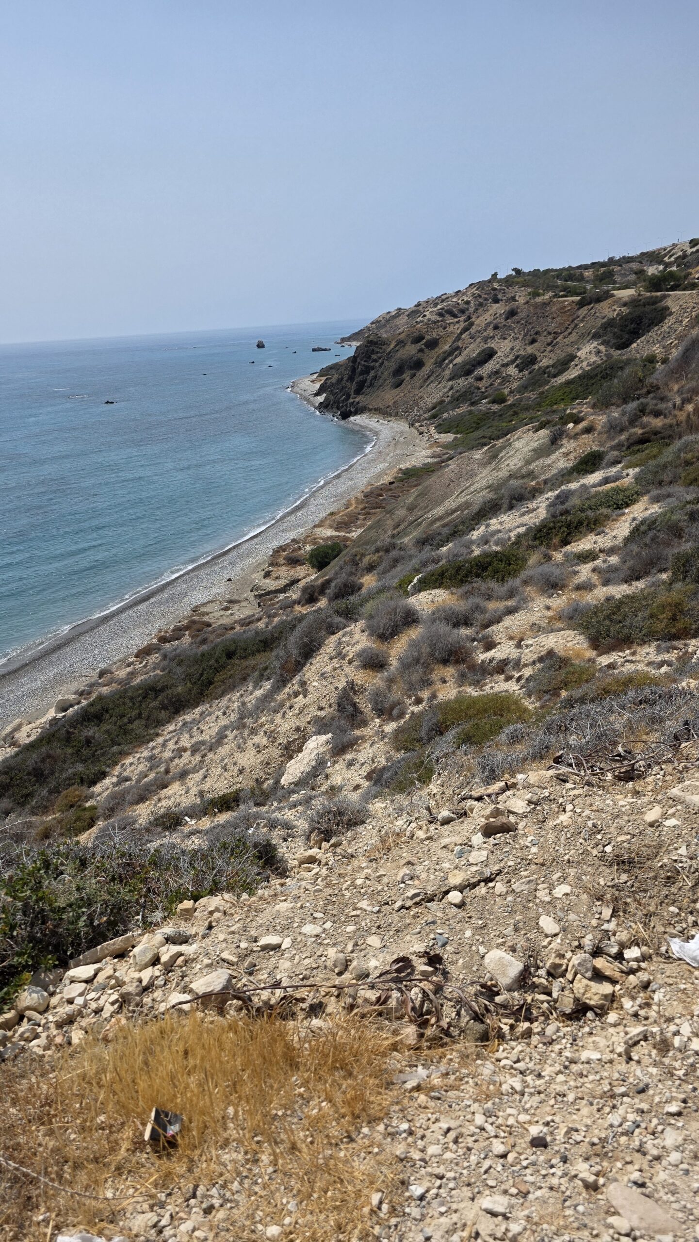
Cyprus makes it possible to combine mountain and coast, but allow time for the winding drive and changing heat. My own August day ended with a swim after the mountain visit; choose a beach and conditions appropriate to your group.
25 / Suggested itineraries
One day or a little longer.
One day: check access and weather, walk Artemis if conditions allow, then visit Troodos Square or a village. Allow the return drive and breaks.
Two days: add another independently planned walk, village or painted church; leave the coast for a separate relaxed afternoon. Do not plan to enter the restricted summit.
26 / Photography
Photograph the mountain with care.
Woodland, changing light and village details tell the story of Troodos. Follow local rules and signs, especially near controlled installations; ask the relevant authority about any photography or drone restrictions. Stay outside fenced areas.
27 / Costs
Build a budget from current quotes.
Allow for flights or other main travel, vehicle and fuel, accommodation, food, insurance and any attraction fees. Prices change. The calculator uses your own figures in euros; it does not fetch live prices.
28 / Saved checklist
Prepare for Troodos.
Saved only in this browser. Respect current restrictions and carry enough drinking water.
29 / Cost calculator
Use your own quotes.
Plan in euros.
Enter your own current prices in EUR. Vehicle and main travel are shared; the other amounts are per person. Include any park, guide and transfer quotes under the appropriate fields. Blank entries count as zero.
30 / My visit, FAQ & sources
From the mountains to the sea.
On 13 August 2025, after Moldoveanu in Romania, I drove back to Bucharest, returned my rental car and flew to Paphos. Another rental car took me into the Troodos Mountains.
At 11:44 I recorded reaching the high area near Mount Olympus. The summit was fenced and restricted. I walked around outside the perimeter and did not enter the controlled area or reach the summit. My visit does not establish where anyone may go today: follow the current rules and signs.
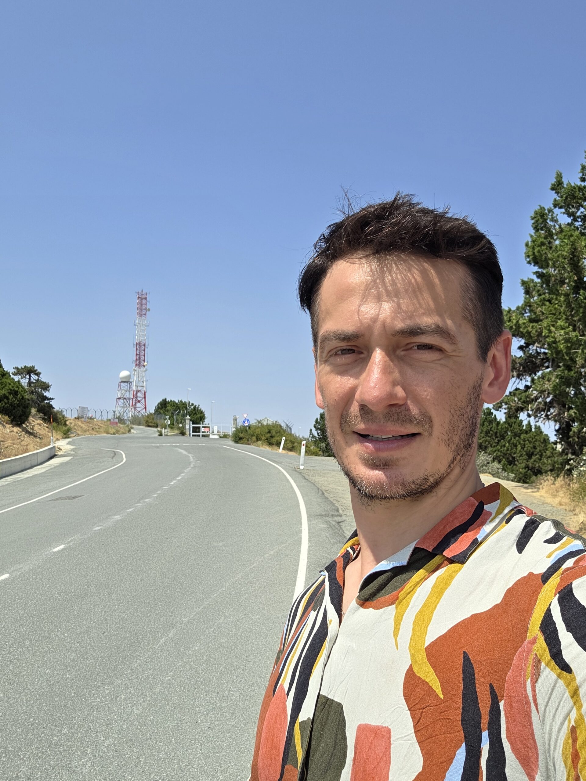
I remember a day of scorching heat, with temperatures above 40°C in my original diary. After the mountain I drove to the coast and swam, a welcome contrast before the return journey that day.

I did not walk Artemis on this visit; its description above is based on official trail information.
Questions answered
Is Cyprus’s Olympus the same mountain as Greece’s Olympus?
No. Chionistra is in Cyprus’s Troodos Mountains; Greece has a separate Mount Olympus.
Can I walk to the highest point?
The summit area is restricted. Respect barriers and current instructions; Artemis circles below the summit.
How long is Artemis?
Official information lists 7 km and around 2.5–3 hours. Add time for breaks and adjust for conditions.
Is water available on the trail?
The forestry leaflet says there is no drinking water along it, so bring your own.
Sources and current information
Research checked 2 November 2026. Access, weather, prices and opening hours can change.
- Cyprus Department of Forests: Artemis Trail ↗ — Official trail leaflet and safety notes
- Visit Cyprus: Artemis nature trail ↗ — Distance, duration and route description
- Visit Cyprus: hiking map ↗ — Artemis, Atalanti and other trail descriptions
- Cyprus Department of Forests: Troodos National Forest Park ↗ — Forest park and visitor information
- UNESCO: Painted Churches in the Troodos Region ↗ — World Heritage churches
- Cyprus Public Transport ↗ — Check current routes and timetables
- Cyprus FAQ: Mount Olympus ↗ — Summit access; verify current restrictions locally