
01 / Start here
One summit.
Two countries and a wild borderland.
Mount Korab, also called Golem Korab or Maja e Korabit, rises on the border of Albania and North Macedonia and is the highest mountain of both countries. My route began near Strezimir in North Macedonia’s Mavrovo National Park.
Allow a full mountain day and plan the remote access as carefully as the hike. Mavrovo lists the summit as 2,764/2,753 m in its geological description; 2,764 m is commonly used and was recorded in my diary. Mavrovo geology.
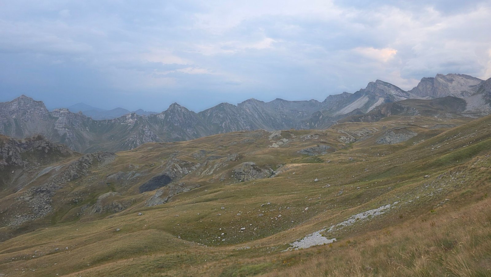
- Summit
- 2,764 mPublished figures vary
- Countries
- Albania & North MacedoniaBorder summit
- My approach
- StrezimirNorth Macedonian side
- Hiking
- Full dayLong, remote and exposed
- Access
- Check in advancePark and border requirements
- Emergency
- 112North Macedonia
02 / Compare routes
Choose your side before arranging the trip.
| Approach | Character | Plan for |
|---|---|---|
| Strezimir / Pobeda | Long ascent from North Macedonia through Mavrovo | Park registration, border-zone access, road and return |
| Radomirë | Albanian approach through Korab–Koritnik | Separate access, accommodation, trail and local requirements |
The Mavrovo–Dibër guide describes the North Macedonian hike as 11–12 km uphill, about 1,550 m of ascent and 9–11 hours for the complete outing. These figures describe that publication’s itinerary; starts, conditions and pace differ. Do not use my fast late start as a timetable. Read the cross-border visitor guide.
03 / Park and permits
Register before setting out.
Mavrovo publishes instructions for registering visits and paying a park entry fee. Its forest-fire notice covered 1 September–31 October 2026; it is dated and must not be treated as a guarantee of rules on your travel date. Ask the park for the current registration, fees, opening and any fire restrictions, and retain the confirmation required. Park registration information · Dated restriction notice · Park tickets.
Park registration and permission to enter a border zone are separate questions. Paying an entry fee does not automatically establish border access or a right to cross into Albania.
04 / Border rules
A summit on a border is not an open crossing.
Before travel, ask the North Macedonian border police and Mavrovo which authorization, documents, notice period and permitted approach apply to your nationality and exact route. For any descent into Albania, contact the relevant Albanian authorities too. Cross only where permitted. Do not assume a past visitor’s experience or a guide’s offer is sufficient. Ministry of Interior · Korab–Koritnik protected area.
05 / Road to Strezimir
The last drive deserves its own plan.
The mountain approach is remote and involves an unpaved road towards Strezimir and the Pobeda border-post area. Ask the park or a local operator about the current surface, road closures, vehicle suitability and permitted endpoint. Conditions after rain and maintenance can change; check rental restrictions too.
Allow extra time for the road, park registration and any checkpoint. Carry fuel, a spare or repair kit, offline navigation and a charged phone. A lower parking place adds walking to the day.
06 / At the trailhead
Confirm your actual starting point.
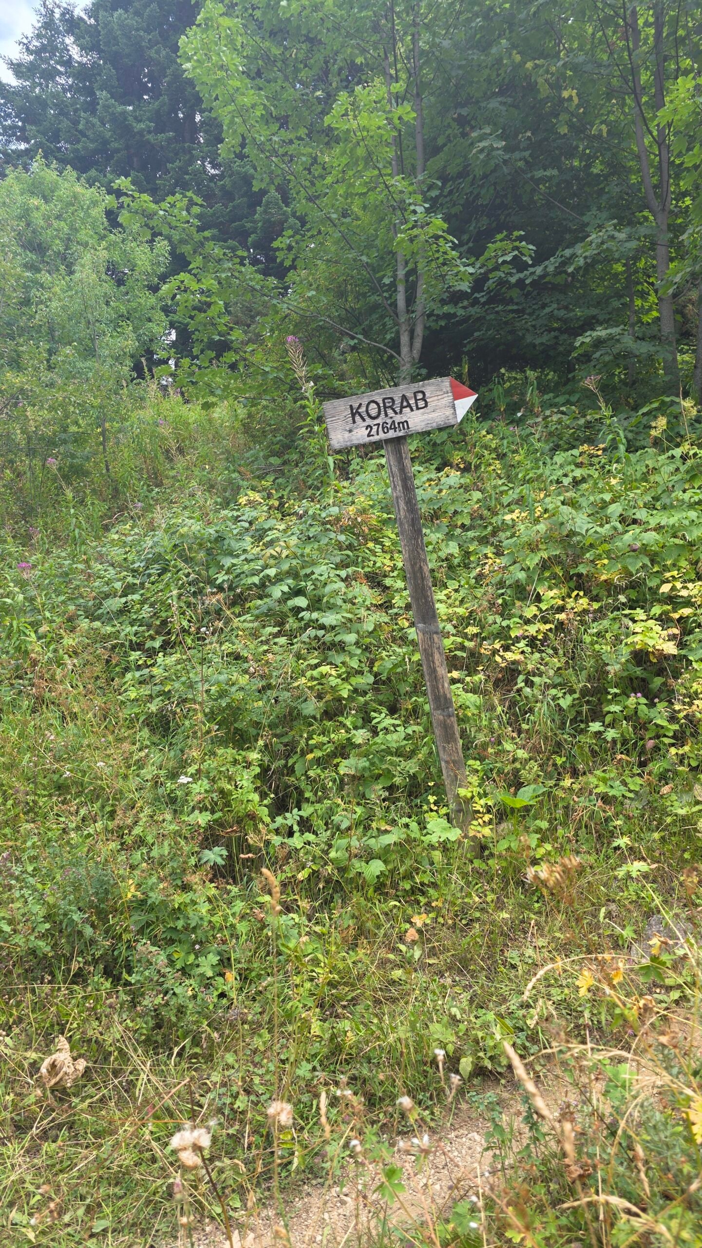
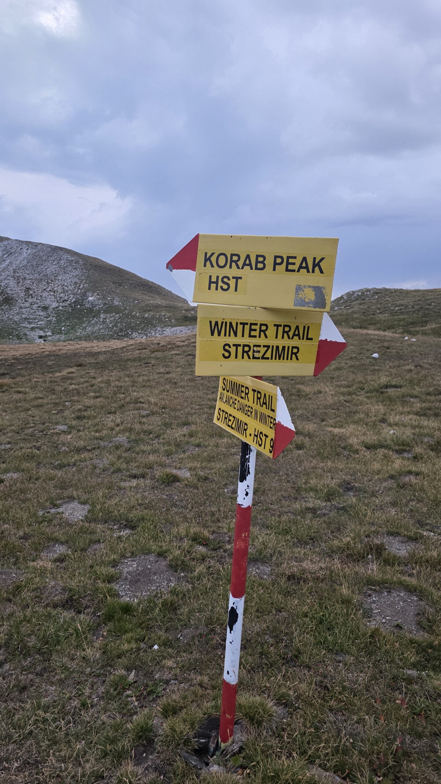
Strezimir and the Pobeda border-post area are used in descriptions of the approach; they are not interchangeable pins. Agree the exact starting point and lawful access in advance, note where the car or transfer will wait and compare trail signs with your map.
07 / Forest and pasture
The climb begins before the open views.
The Mavrovo–Dibër guide describes a short forest section followed by an exposed uphill walk, with a sheep farm along the approach. Respect residents, livestock and any working dogs; leave gates as you found them and give animals room. Visitor guide.
08 / Across the slopes
Watch the route and the time.
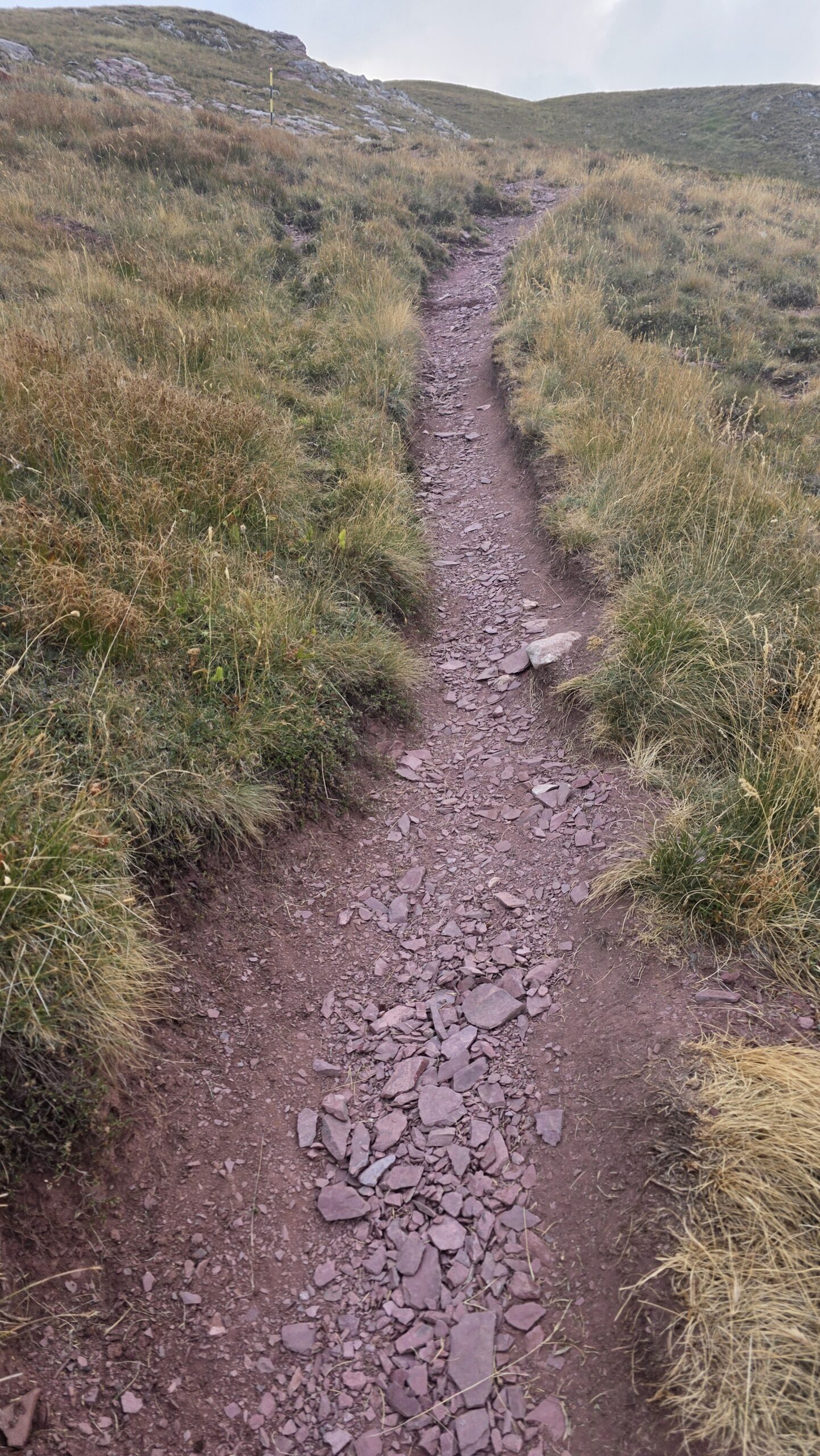
Past the initial climb the landscape opens. Stay with the planned marked line and look back at junctions for the return. The published guide describes sustained ascent followed by a less steep section before the final climb. Fog, wet grass or heat can change how long these stages take.
09 / Upper approach
Save energy for the final climb.
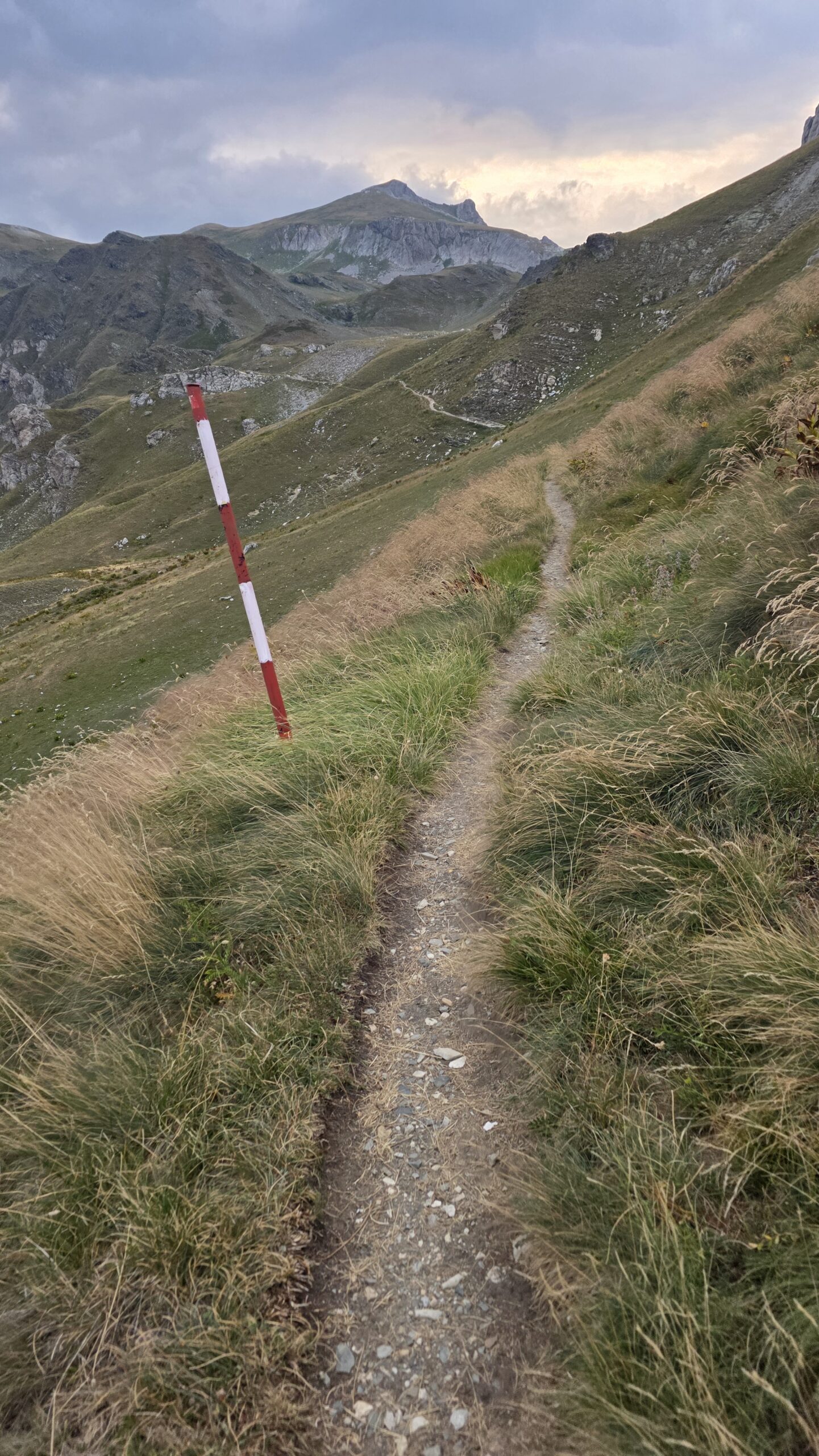
The visitor guide describes another steep climb towards the peak and warns that a patch of snow or ice can remain below it in late spring or early summer. If snow conceals the route or requires techniques your group lacks, turn around. Route description.
10 / The summit
A border peak with a long return.
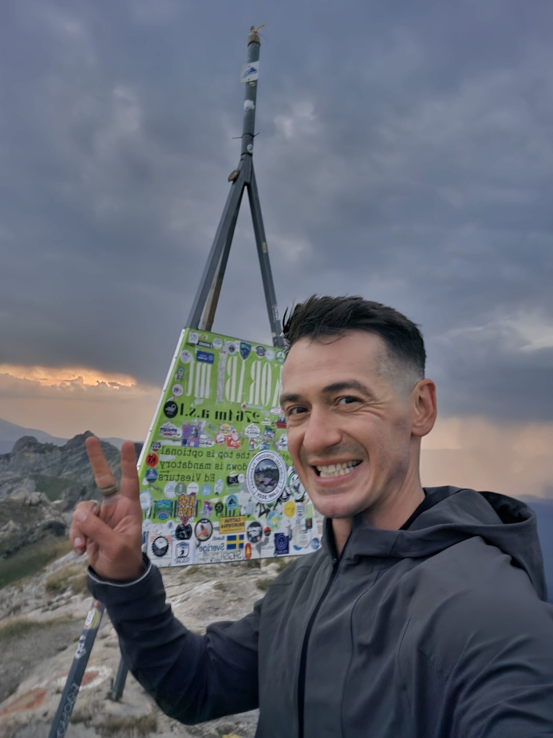
Korab’s summit belongs to the shared Albania–North Macedonia border landscape. Wind, cloud and lightning can arrive quickly on exposed ground. Identify your return line, keep clear of steep edges and leave time for the full descent and road out.
11 / Return safely
The summit is only part of the day.
Returning by the same confirmed route makes junctions familiar, but fatigue and fading light can change the descent. Set a turnaround time before departure, stick together and do not continue onto a different side of the border without a separately verified legal and logistical plan.
12 / Radomirë approach
A different trail and a different journey.
The Mavrovo–Dibër guide describes approaches from Radomirë, including routes via Korabi pasture. It presents different route options and estimates; they are not the Strezimir route reversed. Confirm the entire line, guide, transport, local access and return with Albanian contacts. Compare the Albanian descriptions · Protected-area information.
13 / Getting to Mavrovo
Choose the side before booking.
For Strezimir, plan travel into the Mavrovo region and arrange the final approach separately. For Radomirë, plan on the Albanian side. Confirm current road conditions, border rules and pickup points; a map connecting the two sides does not establish an authorised crossing.
14 / Driving and parking
Protect the road out as well as the hike.
Ask the park where parking is currently allowed and whether the final road is suitable for your actual vehicle. Do not block gates or border and emergency access. Save the vehicle position offline and allow a generous buffer for the return drive.
15 / Without a car
Arrange the final transfer in advance.
Check dated intercity transport to the Mavrovo region with operators, then arrange the last leg with an accommodation provider or local driver. Agree vehicle type, exact endpoint, pickup time, waiting policy and price. Do not assume a public bus runs to the trailhead.
16 / Where to stay
Sleep before the mountain.
Accommodation around Mavrovo and the Radika valley can provide a base for the North Macedonian approach; Radomirë is a separate base for the Albanian route. Ask about current opening, early breakfast, transfers and road conditions. A second night gives you a weather alternative and avoids a long drive after the hike.
17 / Season and snow
A summer route changes with snow.
Snow and ice can remain on upper ground into early summer; autumn shortens daylight, and winter requires mountaineering judgement and avalanche awareness. Ask locally about the actual route rather than relying on a month alone. If snow makes the line unsafe for your skills, choose another day. Visitor guide snow warning.
18 / Weather
Start with the mountain forecast.
Check official warnings, precipitation, wind and visibility before leaving and again on the morning. Avoid the exposed ridge when thunderstorms threaten. Set a firm turnaround time that allows the slowest member enough daylight for the complete return. North Macedonia weather service.
19 / Food and water
Carry enough for the full day.
Water sources can dry up or be unsuitable to drink. Ask locally about current sources, carry enough water and food for the entire route plus a reserve, and treat any refill according to a method you understand. Take litter home and keep food away from wildlife.
20 / Difficulty
A long hike, even on a dry day.
The visitor guide calls the Strezimir-side hike demanding because of the sustained ascent and distance, although its described summer route does not require rock climbing. Fitness, reliable navigation, sure footing and enough time for descent are all necessary; snow, cloud and exposure can substantially increase the difficulty. Study the full route.
21 / Safety and rescue
Prepare for delay and weak reception.
Tell a trusted contact your route and deadline; carry a headlamp, warm and waterproof layers, first aid, emergency shelter and backup navigation. Do not rely on continuous mobile coverage. In North Macedonia call 112 for an emergency and give your location, condition, group size and side of the border. Crisis Management Centre.
22 / Maps and navigation
Download the entire return.
Study a current topographic map and the complete route in both directions before leaving a connection. Compare the route against park and local information; a track on a screen cannot establish permission or safe current conditions. Carry a backup and know how to use it.
23 / Local guides
Ask precisely what is included.
Mavrovo recommends a licensed mountain guide. For unfamiliar terrain or border procedures, ask a local guide about their qualification, exact route, registration, permits, vehicle, group size, cost and weather cancellation. Confirm which obligations remain yours. Park hiking advice.
24 / Protect the park
Travel through a living landscape.
Follow current park rules, keep to established paths, avoid lighting fires and carry out all waste. Give livestock and wildlife space. During high fire danger there may be temporary restrictions; check the current notice rather than assuming last season’s dates apply. Park notice.
25 / Beyond Korab
Stay for Mavrovo and the wider region.
Explore the Radika valley, Mavrovo Lake and village landscapes, or ask the park about a separate hike towards Medenica and Galičnik. The Albanian Korab–Koritnik area and Radomirë deserve a separately planned visit with correct border arrangements. Mavrovo hiking ideas · Korab–Koritnik.
26 / Trip ideas
Leave room for weather.
One day: begin early from a verified start, use a confirmed route and return in daylight with time for the road.
Three days: arrive in Mavrovo, register and check conditions; use the best forecast day for Korab; spend the remaining day around the lake or on another park-approved route. Change the order if the weather deteriorates.
27 / Photography
Make the journey visible.
Record the changing path, open pastures and distant ridges as well as the summit. Use stable ground for photographs and do not delay a safe return for sunset. Carry a headlamp as an emergency backup, not as a reason to plan a night descent.

28 / Saved checklist
Prepare before the road.
Saved only in this browser. Snow and ice demand additional skills and equipment.
29 / Cost calculator
Use your own quotes.
Plan in denars.
Enter your own current prices in MKD. Vehicle and main travel are shared; the other amounts are per person. Include any park, guide and transfer quotes under the appropriate fields. Blank entries count as zero.
30 / My climb, FAQ & sources
Racing sunset across two countries.
After Mahya Dağı I returned to Istanbul for a rare night in a bed. The next day I missed my connection to Skopje while my luggage continued without me. I rebooked through Pristina and travelled by bus and taxi, eventually recovering my gear at Skopje Airport before driving to Strezimir.
At the border area I learned that access needed permission and I did not have it. After a long conversation, a border guard allowed me through. I felt enormous relief: without that decision I would not have climbed that day. This was my experience in 2025, not evidence of current rules or a substitute for obtaining the required authorization in advance.
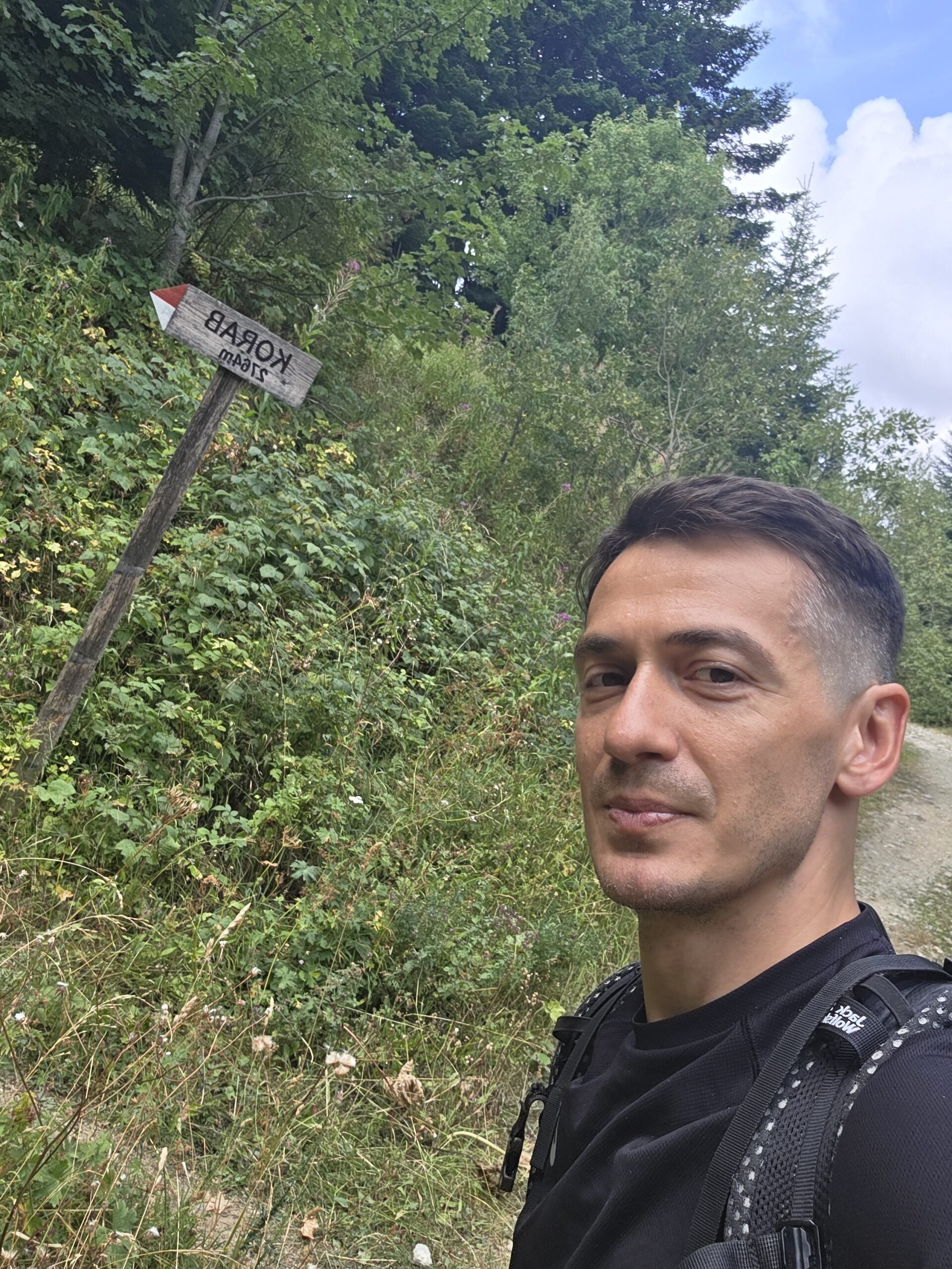
On 16 August 2025 I started at 17:58. I moved quickly on dry ground and reached the summit at 19:53 in sunset light. My record lists 1,412 m of ascent; the rapid pace is personal data, not a recommended schedule. I stayed briefly and descended as the sky darkened, using a headlamp for the last section and reaching the car at 21:20.
After the uncertainty of the journey, seeing the border ridges in evening light felt deeply rewarding. It also showed how close the day had come to being stopped by access and time.
My late start, rushed descent and reliance on an exception added risk. Arrange all permissions beforehand, begin early and leave a generous daylight margin.
Questions answered
Is Korab the highest mountain of both countries?
Yes. The summit lies on the Albania–North Macedonia border; published height figures vary.
Does a park ticket permit a border crossing?
No. Confirm border-zone access and any international crossing separately with the authorities.
Can I drive to Strezimir in any car?
Conditions change. Ask the park and check your vehicle and rental agreement before driving.
Should I copy Adrian’s start time?
No. It is a diary record; start early and allow a full day and a safe return margin.
Sources and current information
Research checked 2 November 2026. Confirm rules, road, forecast and prices for the actual date.
- Mavrovo National Park: visitor registration ↗ — Park registration and access; confirm current rules
- Mavrovo National Park: forest access notice ↗ — Dated fire restriction; check for later notices
- Mavrovo National Park: tickets ↗ — Park entry and current fees
- Mavrovo National Park: geology ↗ — Korab massif and elevation figures
- Mavrovo–Dibër visitor guide ↗ — Strezimir and Radomirë hiking descriptions
- Mavrovo National Park: hiking ↗ — Other park trails and guiding advice
- Albanian National Agency for Protected Areas: Korab–Koritnik ↗ — Albanian protected area
- North Macedonia Hydrometeorological Service ↗ — Official forecasts and warnings
- North Macedonia Crisis Management Centre ↗ — Emergency number 112
- North Macedonia Ministry of Interior ↗ — Border police and current entry requirements