

01 / Start here
Finland’s high point is a wilderness journey.
Halti’s Finnish high point is 1,324 m above sea level, at the Norway–Finland boundary. It is a point on the fell’s slope, not the higher summit in Norway. Expect remote terrain, changeable Arctic weather and demanding navigation.
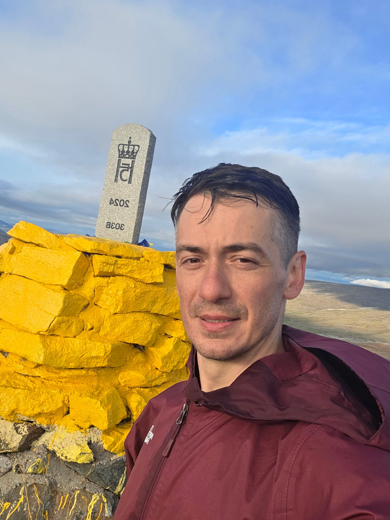
Border marker 303B is the Finnish high point. Nearby Norwegian summits and the yellow markers in the area are not interchangeable destinations. Finnish land survey.
- Finland
- 1,324 mBorder marker 303B
- Landscape
- Arctic fellsFinland–Norway border
- Norway start
- GuolášjávriCheck the mountain road
- Finland start
- KilpisjärviMulti-day wilderness route
- My visit
- 29 July 2025Norwegian approach
- Emergency
- 112Finland and Norway
02 / Which Halti?
Understand the border and the summit.
The National Land Survey identifies Finland’s high point at 1,324 m on the border. Ráisduottarháldi, a higher summit, lies in Norway. Names and elevations vary between tourism sources, so use a current official map and make the border marker your explicit destination. Land Survey explanation.
03 / Compare routes
Two approaches with very different commitments.
Norway: the Guolášjávri approach is a shorter but exposed mountain day on rough ground, reached by a mountain road. Finland: the Kilpisjärvi route is a multi-day wilderness expedition. Metsähallitus lists its Halti hiking route as 51.4 km; check the exact endpoints and plan a return or a separately arranged exit. Do not treat 51.4 km as a round-trip figure. Finnish route information · Norwegian approach.
04 / Norway approach
A shorter approach is still remote.
Visit Lyngenfjord describes the approach from Huortnáš by Guolášjávri as demanding, with a rocky surface and variable markings. Its route information discusses both the Norwegian summit and the Finnish border point; do not assume its 14 km figure covers the exact out-and-back to 303B. Confirm your route and distance on an up-to-date map. Route description.
05 / At the trailhead
Start with the route and the return.
At the designated parking area, identify the approved trail, destination, weather and full return before departure. Reindeer fences and gates are part of the working landscape: follow local instructions and leave gates as found. Carry an offline map and a compass you know how to use.

06 / The first ascent
Climb carefully over uneven ground.
The regional route description says the initial ascent is steep and the ground includes loose stones. Wet rocks can be slippery. Take a pace that leaves enough energy for descent and turn back if cloud or conditions make the route uncertain. Regional route advice.
07 / Across the fells
Above the first climb, visibility matters.
The open fell offers little shelter. Path traces and cairns can be hard to distinguish from animal tracks or informal markers, particularly in fog. Use your own navigation, stay with your group and avoid committing to an uncertain line simply because a track appears on a screen.
08 / The Finnish high point
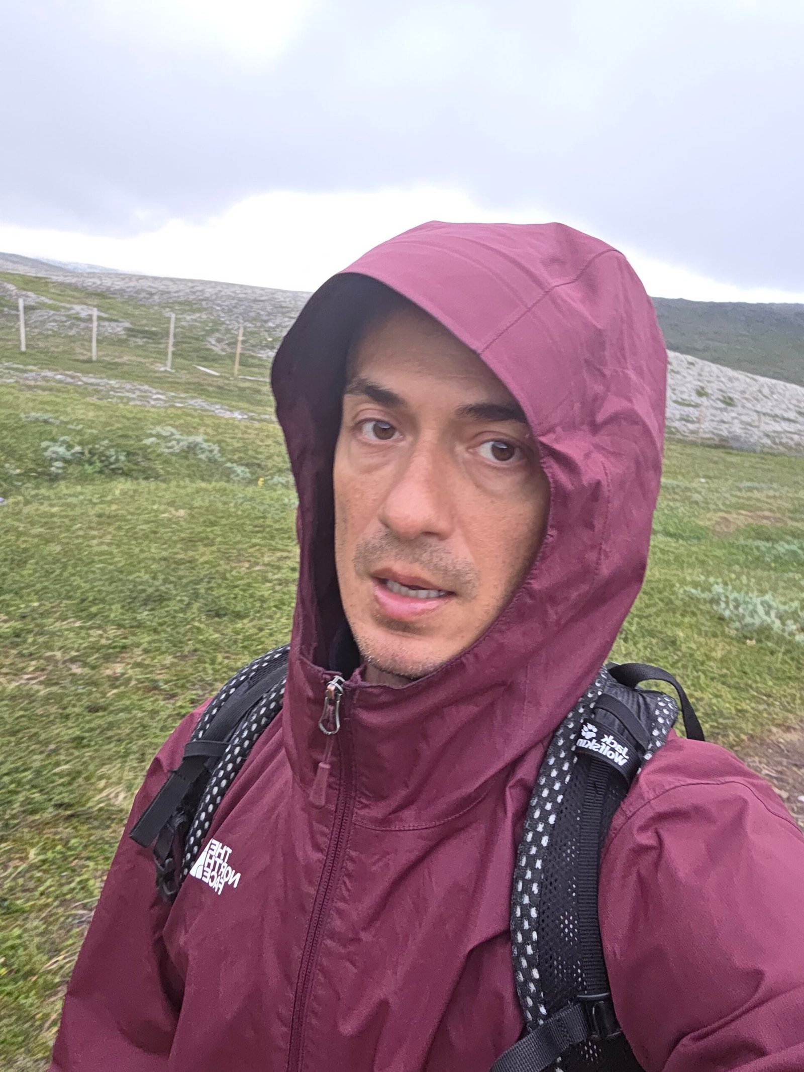
Find border marker 303B.
The 1,324 m Finnish high point lies at the boundary marker. Confirm your position on the current map; a higher Norwegian top is a separate destination. My photograph shows the marker, and I confirmed visiting the border point. Official border marker information.

09 / Return safely
Leave time and energy for the way back.
Plan a full return to your chosen parking area or an independently confirmed onward route. Wet boulders, fatigue and poor visibility can slow descent. Avoid following a valley simply because it slopes downhill: verify that it leads to your planned exit.
10 / From Kilpisjärvi
The long route from Kilpisjärvi.
The Finnish Halti route runs into the Käsivarsi wilderness. Metsähallitus lists 51.4 km for the route; it is a multi-day undertaking and not a quick day hike. Confirm current trail endpoints, bridge and water-crossing conditions, huts and return transport before departure. Metsähallitus trails.
11 / Wilderness huts
Know the difference between hut types.
Finnish wilderness and reservation huts have different rules and facilities. Check the current official information for every planned overnight stop and bring a tent and equipment appropriate for the season and route. Do not assume space, heating, drinking water or an open staffed hut.
12 / Plan the journey
Make a plan for a change in conditions.
Check weather on both sides of the border, current road access, daylight, transport and your navigation skills. Share your itinerary and expected return. If visibility or road conditions are poor, postpone; my own difficult 2025 journey is not a recommendation to continue in fog.
13 / Getting there
Tromsø and Kilpisjärvi serve different approaches.
For the Norwegian side, check current connections to Tromsø and onward travel towards Kåfjord. Kilpisjärvi is the Finnish long-distance trail base. Timetables and seasonal services change; verify the complete journey and return with operators.
14 / The mountain road
Check the mountain road before driving.
Visit Lyngenfjord describes a road up Kåfjorddalen towards Guolášjávri, with rough gravel sections and variable conditions. Snow may persist into summer. Ask locally about the current road and parking, drive slowly and check rental-car restrictions. A high-clearance vehicle does not make an unsafe road safe. Road and trail information.
15 / Parking
Use designated spaces.
Park only where permitted and keep gates, working roads and emergency access clear. The regional tourism office reports designated parking and a fee system; confirm current terms and availability locally rather than relying on a past visit. Parking information.
16 / Public transport
Arrange the last leg and the return.
Public transport may reach communities in the wider region but should not be assumed to reach a remote trailhead. Confirm the last connection, pickup, return and contact details directly with operators before committing to a route.
17 / Where to stay
Stay where it fits your approach.
Choose accommodation for the actual start and return, rather than by straight-line distance. Ask providers about seasonal opening, late arrival, food, parking and road conditions. For the wilderness route, plan hut and tent logistics separately.
18 / When to go
A short summer season, with no guarantees.
Late summer can bring less snow, but the road and fell can remain wet or snow-covered. Confirm the current opening and ground conditions locally. Long Arctic daylight is helpful but does not protect against cold, fog or fatigue.
19 / Weather and fog
Fog changes everything.
Check both Finnish and Norwegian forecasts for wind, rain, temperature and visibility. Conditions can change quickly on exposed ground. Carry insulating and waterproof layers and turn around when navigation is no longer reliable. Finnish forecast · Norwegian forecast.
20 / Snow and winter
Winter is a different expedition.
Snow, ice, wind, darkness and avalanche terrain demand appropriate equipment and experience. Consult local experts and current avalanche information. Do not extrapolate a summer walking time or trail line into a winter itinerary.
21 / Water and food
Carry supplies for the whole route.
Bring sufficient drinking water and food plus a reserve. The regional guide notes that suitable water collection points can be surprisingly scarce despite streams. Do not assume untreated water is safe or that a hut or shop will be open. Regional advice.
23 / Safety and rescue
Prepare for isolation.
Tell someone your route and return time; carry first aid, shelter, warm layers and a headlamp. Reception is not guaranteed. Call 112 in an emergency in Finland or Norway and give your location and circumstances; follow the dispatcher’s instructions. 112 Finland.
24 / Respect the landscape
This is living Sámi and reindeer-herding country.
Respect local people, reindeer and working animals. Keep your distance, leave gates as found, avoid damaging fragile ground and take waste away. Rules differ between the Finnish wilderness and protected areas in Norway: check the relevant manager before travelling. Háldi transboundary area.
25 / Explore the region
Explore beyond the high point.
Kilpisjärvi, the Käsivarsi wilderness and Kåfjord offer different ways to experience the region. Ask the visitor centres about open trails and current conditions; the Finnish–Norwegian cooperation area includes Reisa National Park. Visitor information.
26 / Itineraries
One day or a longer wilderness trip.
Norwegian approach: reserve a full day and check road and weather before starting; allow a generous margin for the return.
Finnish approach: plan multiple days from Kilpisjärvi, overnight equipment, water crossings and a realistic return. Choose stages according to your group and official current information.
27 / Costs
Estimate in euros using your own quotes.
Budget for travel, vehicle, fuel, accommodation, food, insurance and any parking or guide fees. Norway uses Norwegian kroner; convert your own estimates to euros before using this calculator. Exchange rates and prices are not live.
28 / Saved checklist
Pack for the Arctic fells.
Saved only in this browser. Carry a complete navigation and return plan.
29 / Cost calculator
Use your own quotes.
Plan in euros.
Enter your own current prices in EUR. Vehicle and main travel are shared; the other amounts are per person. Include any park, guide and transfer quotes under the appropriate fields. Blank entries count as zero.
30 / My climb, FAQ & sources
Into the Arctic fog.
After Galdhøpiggen I drove back to Oslo, returned the rental car and flew north to Tromsø. The journey towards the Norwegian approach became a difficult drive through fog on narrow gravel roads. I was grateful for the car, but those conditions are a reason to stop and reassess, not a recommendation to continue.
After resting in the car I began walking at 17:00 on 29 July 2025. Visibility was poor and I relied heavily on GPS as I picked my way across stones and patches of snow. At about 20:00 I reached Finland’s border high point, marker 303B. The moment felt quiet and remote.
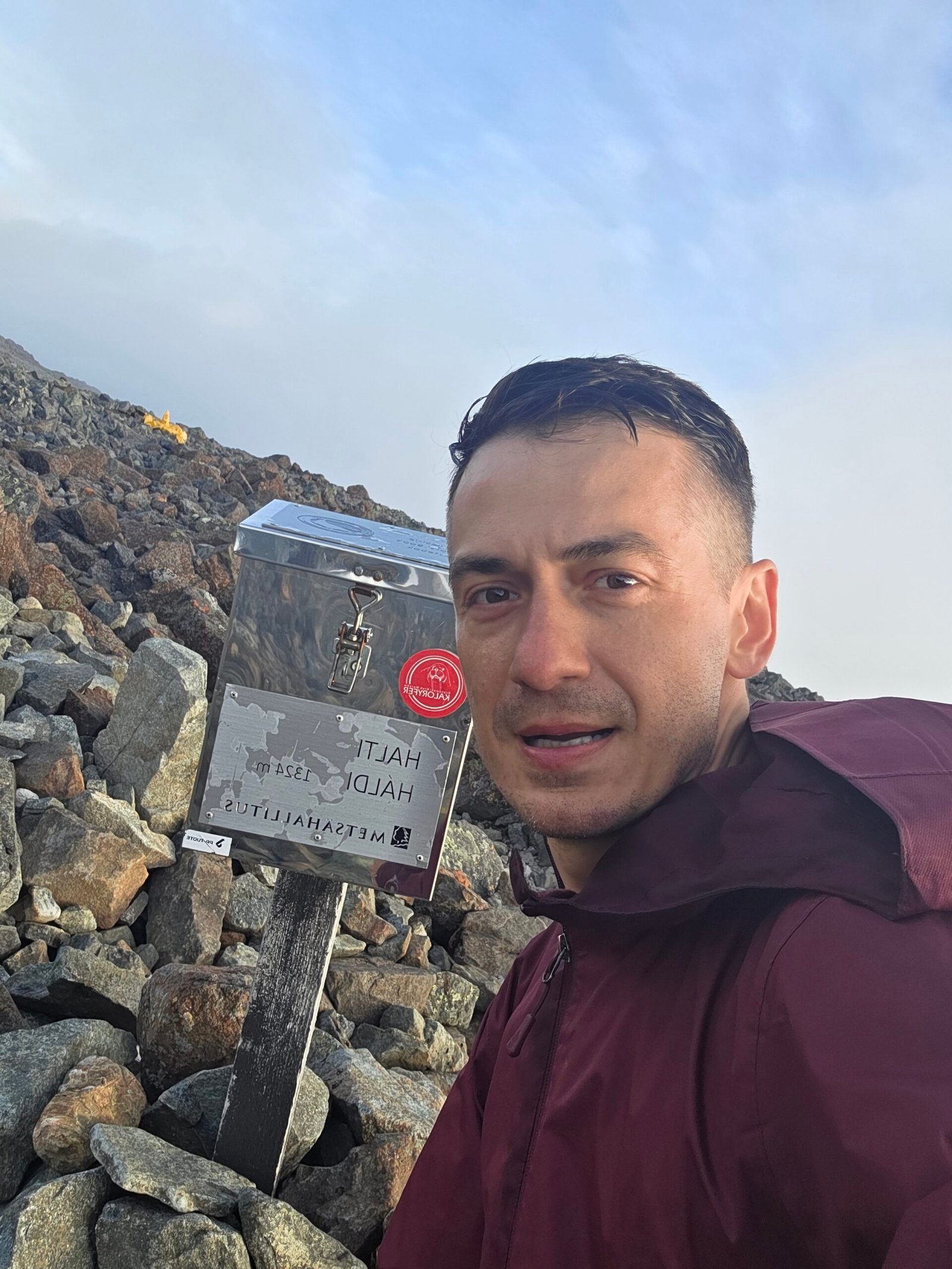
On the way down the fog thinned in places. My ankle began to ache on the uneven stones. I returned to the car just before midnight, exhausted and relieved. My times describe my own journey; carry proper navigation equipment and turn back if the weather or route becomes unsafe.
Frequently asked questions
Where is Finland’s highest point?
At the 1,324 m border marker 303B on Halti.
Is the highest summit of Halti in Finland?
The higher summit lies in Norway; Finland’s high point is on the border slope.
Can I start in Norway?
Yes, subject to current road and trail conditions; the Guolášjávri approach is remote and rocky.
How long is the Finnish route?
Metsähallitus lists the Halti hiking route as 51.4 km. Check its exact endpoints; plan a separate return or exit.
Is the Norwegian route suitable for beginners?
It is exposed, rocky and navigation can be difficult. Assess experience, weather and the full return; a local guide can help.
Is the mountain road always open?
No. Snow and road conditions vary, so confirm locally before driving.
Can I rely on mobile reception?
No. Carry a map, compass and backup, and know how to navigate without reception.
What is the emergency number?
112 works in Finland and Norway. Give your location and follow instructions.
Can I visit in winter?
Winter requires appropriate skills, equipment and local avalanche and weather advice.
Are there huts?
There are wilderness and reservation huts along Finnish routes, with different rules. Check official details and availability.
Does midnight sun make the route safe?
No. Daylight does not remove risks from fog, cold, fatigue or difficult ground.
What currency should I budget in?
Finland uses euros; Norway uses Norwegian kroner. Convert your own quotes for the calculator.
Sources and current information
Research checked 2 November 2026. Weather, facilities and road access can change.
- National Land Survey of Finland: Halti border marker ↗ — Finnish high point and boundary
- Metsähallitus: Háldi transboundary area ↗ — Wilderness and visitor centres
- Metsähallitus: Käsivarsi hiking routes ↗ — Finnish long-distance route
- Visit Lyngenfjord: Halti from Norway ↗ — Road and route details; Finnish-language page
- Finnish Meteorological Institute ↗ — Forecasts and warnings
- Norwegian Meteorological Institute: Yr ↗ — Forecasts for Norway
- Norwegian Public Roads Administration ↗ — Road information
- 112 Finland ↗ — Emergency information