
01 / Start here
Start here
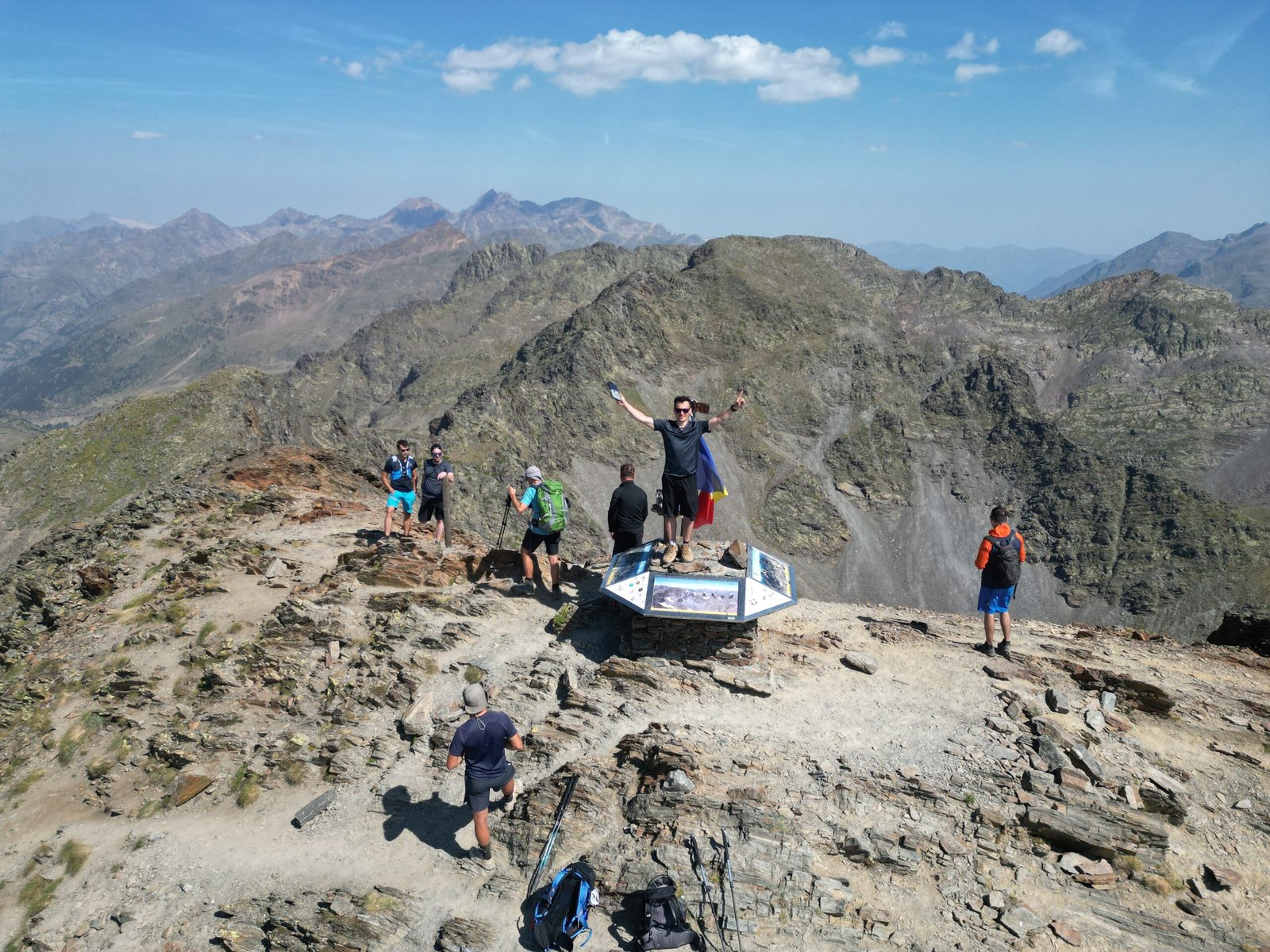
Coma Pedrosa (2,942 m), also written Comapedrosa, is Andorra’s highest peak. Its usual southern approach from Arinsal is a demanding mountain day through forest, a high valley and rocky terrain. The official route is 15.4 km with approximately 1,372 m of ascent and descent; it is not a casual lakeside stroll. Check conditions before committing. Visit Andorra route ↗.
02 / Compare your options
Compare your options
Summit day: the official Arinsal circuit is a long, difficult outing with a steep upper section. Refuge-based trip: reserve a bed at Refugi de Comapedrosa and plan each stage separately. Short family option: the park’s 1.2 km interpretive circuit stays near the valley bottom and does not reach the summit. Choose for the least experienced person and the conditions. Summit route ↗ · Interpretive circuit ↗.
03 / Distance and time
Distance and time
Visit Andorra’s detailed route sheet describes 15.4 km, 1,372 m of ascent and about eight hours for its described complete route. Its webpage also displays a broad 3–6 hour category and calls the climb around eight hours, so do not treat either as a promise. The itinerary includes its own return through the interpretive circuit; a different track, start or detour changes the figures. My own time is separate. Detailed official route sheet ↗.
04 / Arinsal trailhead
Arinsal trailhead
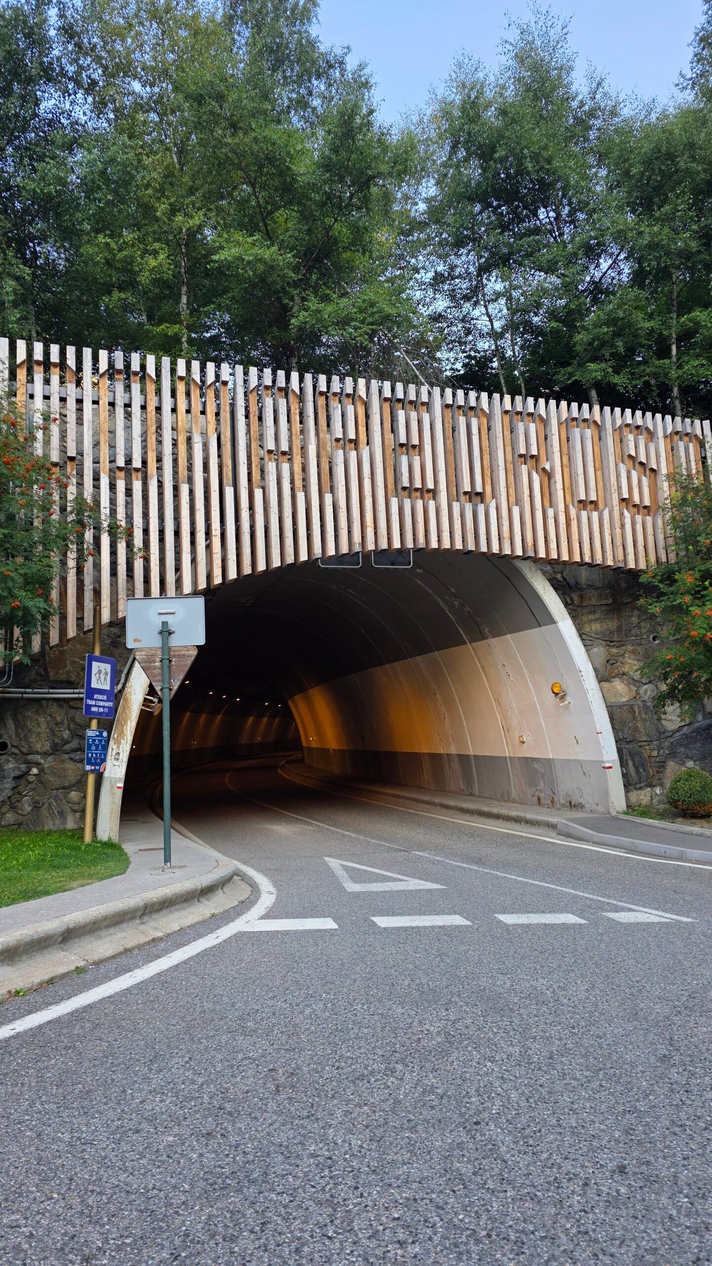
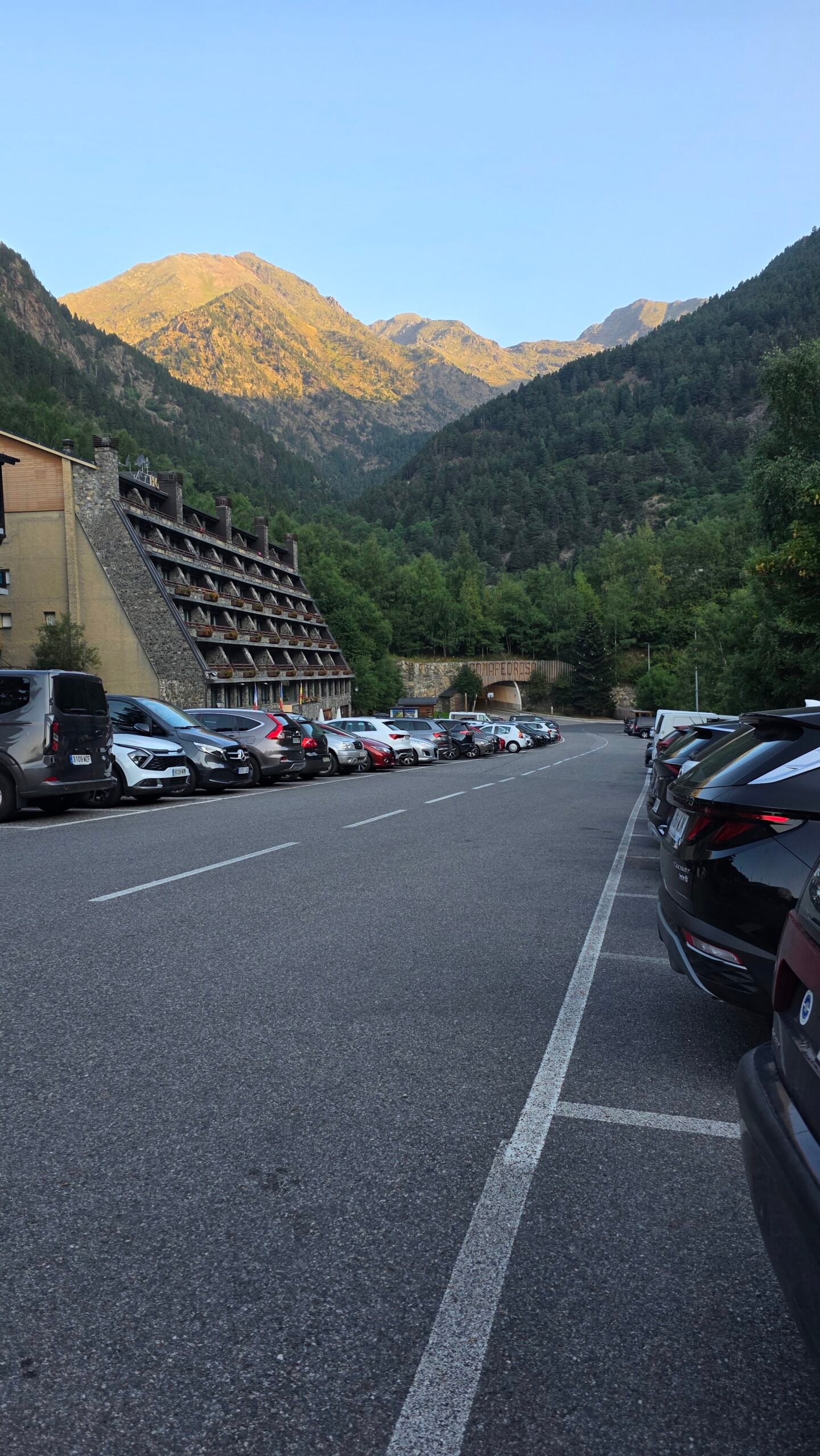
The official sheet starts at the park car park beyond Arinsal, near the avalanche-control tunnel. It describes walking through the tunnel and joining the interpretive route before the GR11. Check the precise start, parking arrangements and any closures with the park, and avoid blocking access. Route sheet ↗.
05 / Forest and streams
Forest and streams
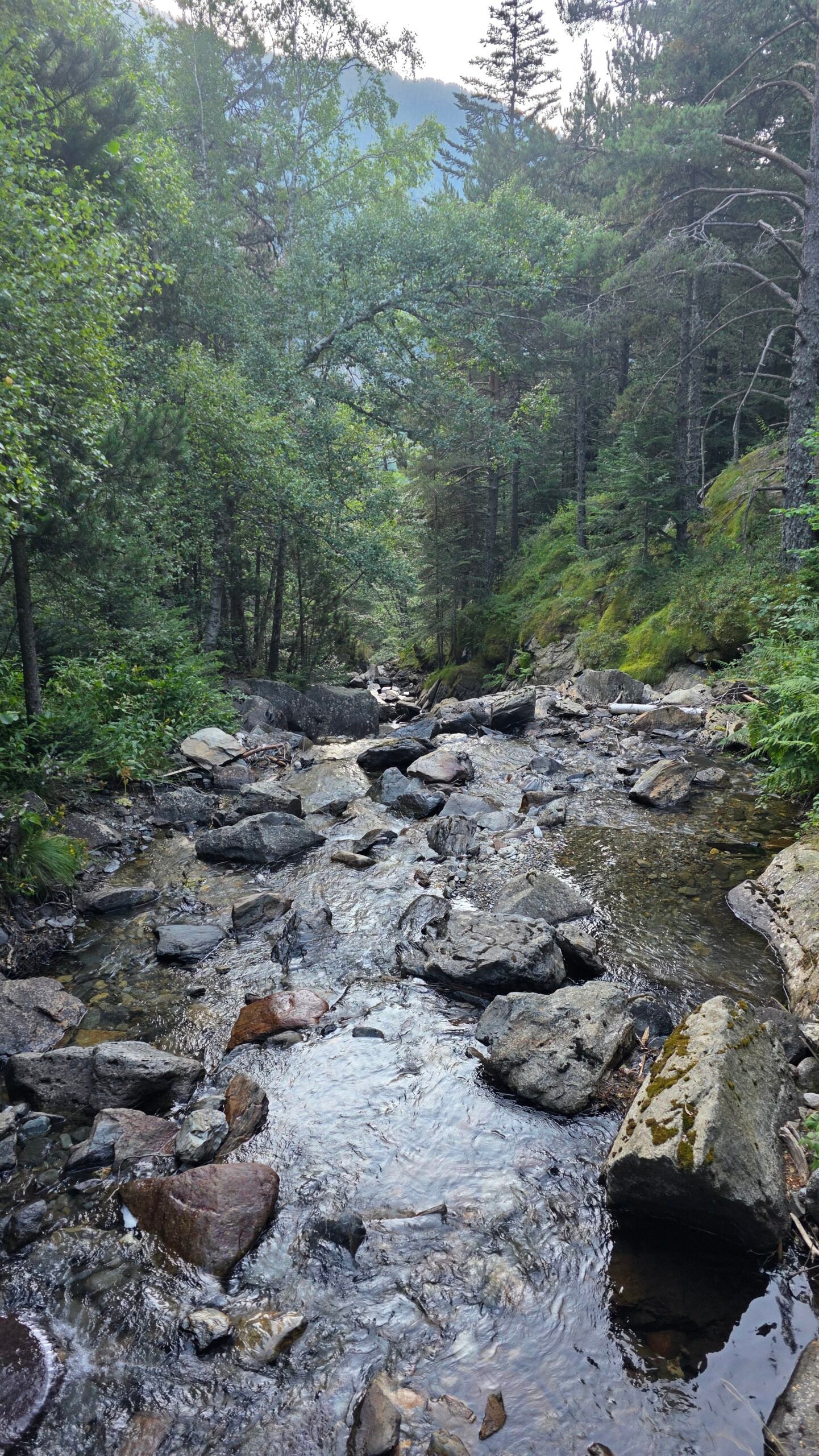
From the lower interpretation route the official itinerary turns onto a forest track and follows the GR11 towards Comapedrosa. It crosses the Pla de l’Estany and Comapedrosa watercourses on the way to the pass. After heavy rain, stream crossings and wet rocks can be hazardous; do not force a crossing when conditions are unsafe.
06 / Collet de Comapedrosa
Collet de Comapedrosa
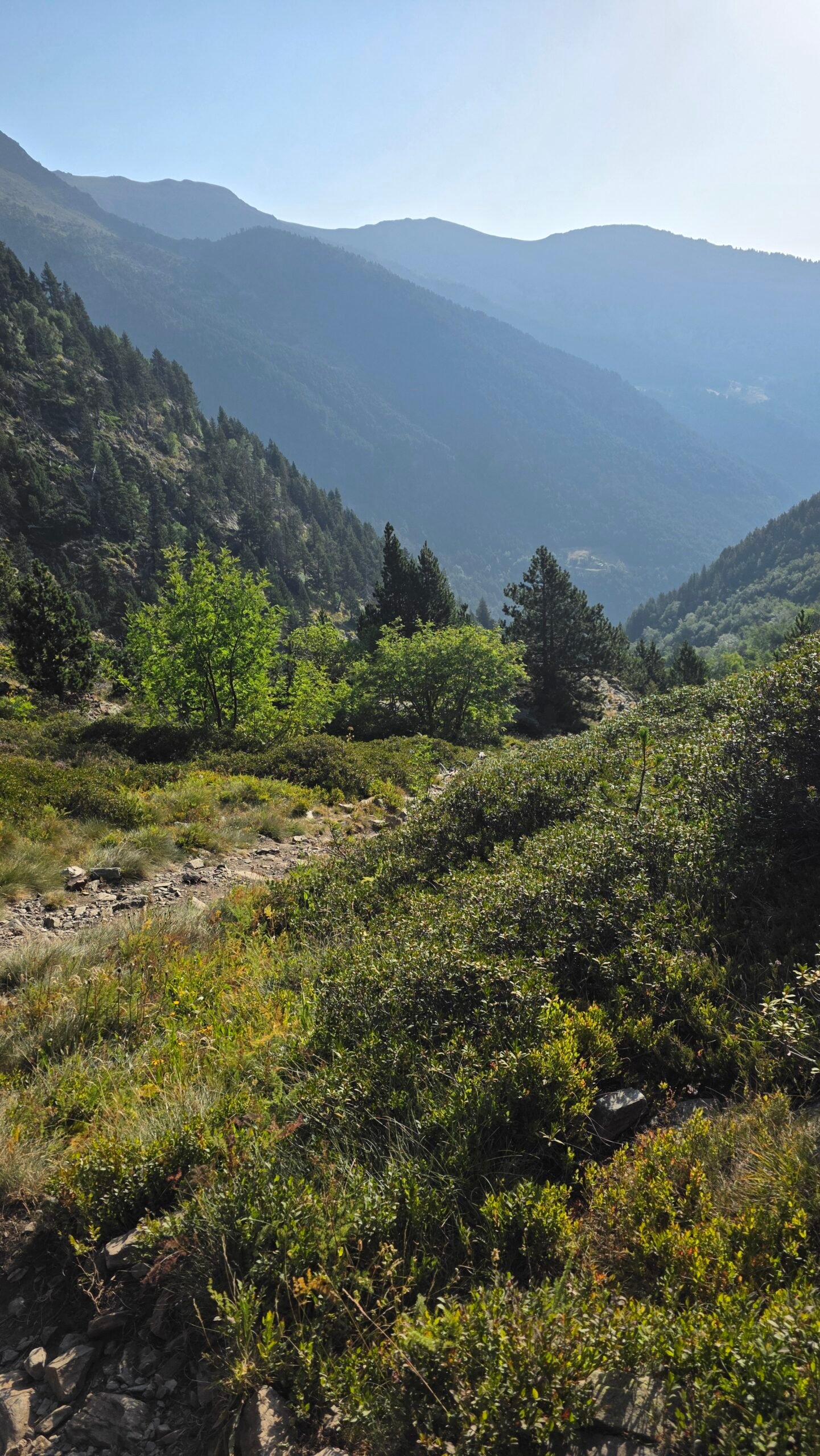
The official route climbs to Collet de Comapedrosa at about 2,223 m. The staffed refuge is a short deviation from the main path; it is not necessary to assume every route goes through the hut. Confirm your chosen trail at the junction and reassess your group’s pace, weather and turnaround time. Official route sheet ↗.
07 / Refugi de Comapedrosa
Refugi de Comapedrosa
The guarded refuge can provide accommodation and meals when operating, but opening dates, capacity and prices change. Book directly and check what is included, when staff are present and the approach. A reservation at the hut does not make the upper mountain safe in bad conditions. Refuge website ↗.
08 / Estany de les Truites
Estany de les Truites
The refuge sits by Estany de les Truites. My original diary remembers passing this lake; the official main route describes a short deviation to the refuge, so allow for the detour if you choose it. Keep away from fragile shore vegetation and do not assume lake water is safe to drink.
09 / Estany Negre
Estany Negre
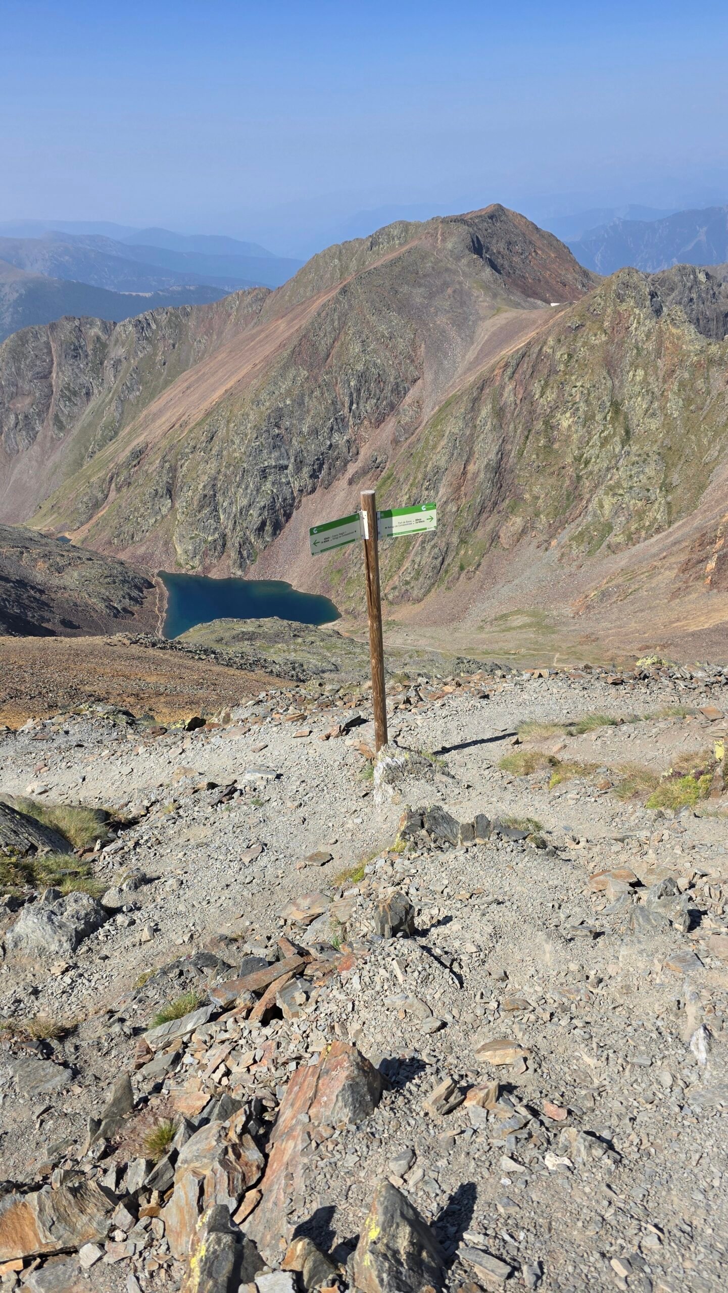
Beyond the pass the route descends briefly before climbing towards Estany Negre and a rocky junction. Check your map carefully: the GR11 and summit route do not remain the same all the way to the top. Mist, snow patches and loose stones can obscure the way. Visit Andorra description ↗.
10 / The summit ridge
The summit ridge
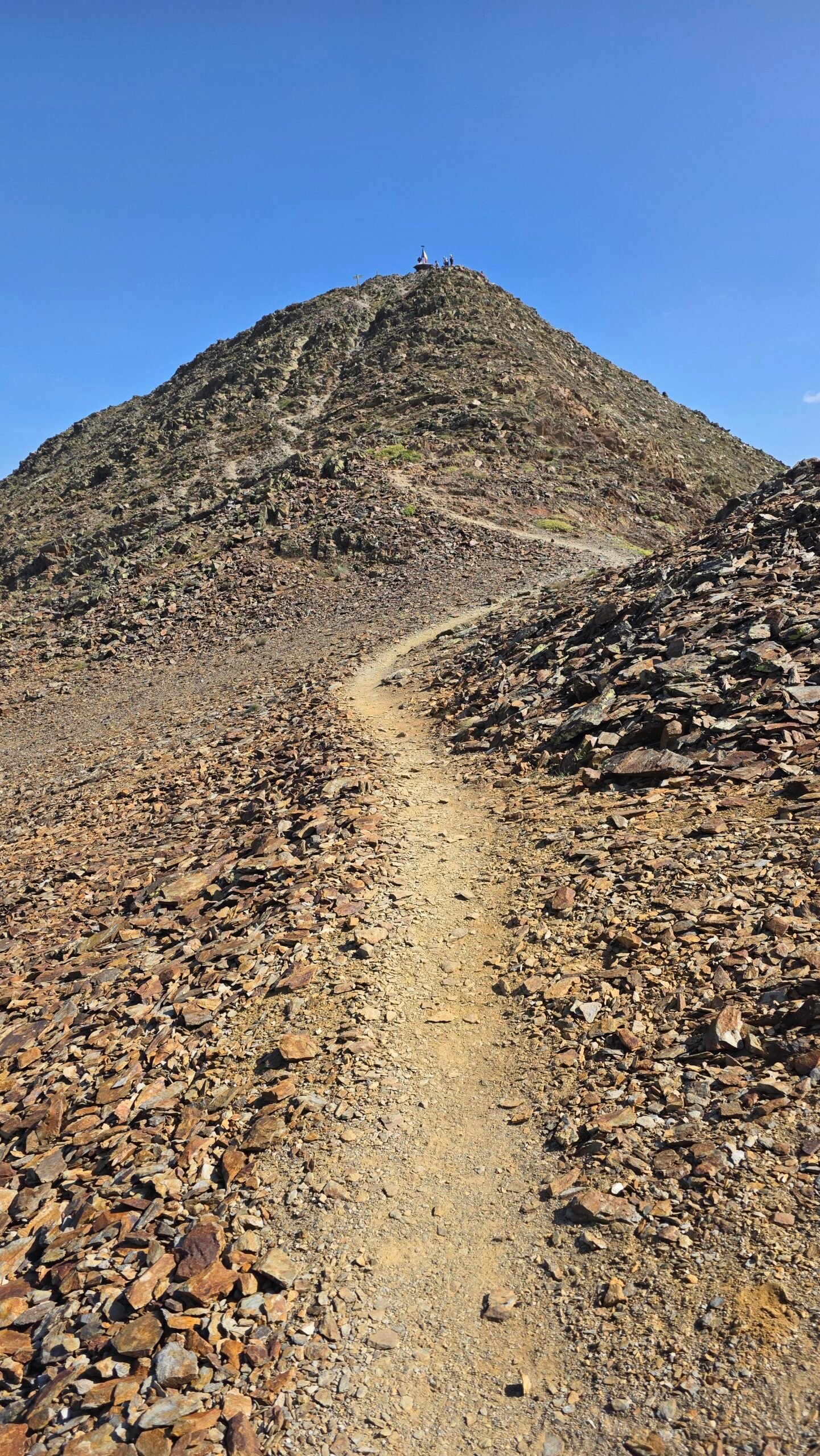
From the upper junction the official sheet describes a steep climb towards the ridge, following yellow dots, and then the ridge to the top. Confirm current markings on site. Loose scree, exposure, wind and low visibility make this section consequential even without snow. Turn around if anyone is uncomfortable or the route cannot be followed safely.
11 / At the summit
At the summit
At 2,942 m the summit can offer extensive Pyrenean views on a clear day. Wind and cloud can change quickly. Keep the group together, protect the time and energy needed for descent, and avoid lingering on exposed ground as a storm develops. Park information ↗.

12 / The descent
The descent
The official sheet describes returning down the ascent route to the pass, then using the interpretive circuit on the way to the car park. Plan your own exact descent before departure. Loose rock is often harder downhill, and tiredness or late cloud can slow the return. A return to a different valley needs separate transport and route planning.

13 / A shorter alternative
A shorter alternative
The park’s 1.2 km interpretive circuit has information panels and is described as easy. It offers a lower-level family outing, not a shortcut to the summit. Even a short visit deserves suitable footwear and a check of current local access. Official circuit ↗.

14 / Getting to Andorra
Getting to Andorra
Andorra is reached by road through Spain or France. International buses connect the country with cities including Barcelona and Toulouse; confirm current operators and connections. There is no airport in Andorra itself. Allow for the onward journey from Andorra la Vella to Arinsal and do not drive tired after a flight. Visit Andorra travel information ↗.
15 / Border documents
Border documents
Andorra is outside the EU and Schengen area. The documents required depend on nationality and the route through Spain or France. Travellers who need a Schengen visa should confirm the ability to re-enter the Schengen area after visiting Andorra. Check official guidance and your own government’s advice before departure. Passports and visas ↗.
16 / Public transport
Public transport
Visit Andorra lists national bus line L5 between Andorra la Vella and Arinsal. Check current stops, departures and the return before planning a full summit day; a village stop may still leave a walk to the park entrance. International and local tickets are separate arrangements. National bus routes ↗.
17 / Parking and road
Parking and road
The official route sheet identifies the park car park near the tunnel as its start. Space, restrictions and road conditions can change, especially in busy or snowy periods. Park only where allowed, confirm any charges or overnight restrictions locally, and never assume my car-sleeping arrangement in 2025 is permitted now.
18 / Where to stay
Where to stay
Arinsal is convenient for the southern trailhead; La Massana and Andorra la Vella offer other bases with a transport connection to arrange. A staffed refuge night can split the trip but requires a booking and a realistic approach. Confirm opening and transport for your dates before paying for accommodation.
19 / When to go
When to go
The official tourism guidance recommends high routes above 1,700 m particularly from late June to late September, with the possible season extending when conditions permit. This is guidance, not a snow-free guarantee. Ask the park and refuge about the actual state of the path, snow, stream crossings and access. Season guidance ↗.
20 / Weather and storms
Weather and storms
Check Andorra’s national weather service ↗ and local mountain advice shortly before setting out. Summit wind and temperature can differ sharply from Arinsal. Start early, keep a weather margin and turn back before lightning, dense fog or strong wind makes the ridge or descent unsafe.
21 / Snow and winter
Snow and winter
Snow, ice and avalanche terrain transform the mountain. A summer route description is not a winter route plan: appropriate equipment, skills, avalanche assessment and potentially a qualified guide are needed. Check the national avalanche bulletin ↗; outside the regular bulletin season, lack of a current rating does not mean no danger.
22 / Water and food
Water and food
Carry enough water and food for the full day plus a reserve. Availability at the refuge depends on opening, and streams and lakes should not be assumed safe to drink; use an appropriate treatment method if relying on natural water. Do not rely on a refill point without checking current conditions.
24 / Mountain safety
Mountain safety
The route is long and steep, with loose rock and high mountain exposure. Assess fitness and the experience of the whole group, share your plan and expected return, carry a headlamp and warm and waterproof layers, and set a turnaround time. If cloud, fatigue, snow or injury undermines the plan, descending is a valid decision.
25 / Emergency and insurance
Emergency and insurance
For an emergency in Andorra call 112. Visit Andorra identifies the fire brigade as responsible for mountain rescue; provide location, injuries, group size and weather, and follow the operator’s instructions. Confirm that your insurance covers Andorra, hiking at this altitude and rescue before departure. Save contacts and carry backup power; mobile coverage is not guaranteed. Official emergency information ↗.
26 / Protect the park
Protect the park
This is a protected mountain landscape. Stay on appropriate trails, take rubbish away, give wildlife and livestock space and follow current local park instructions. Check rules for dogs, camping, fires and overnight stays with the park rather than assuming that an old visit or an unstaffed hut establishes permission. Comapedrosa Nature Park ↗.

27 / Beyond the summit
Beyond the summit
Arinsal and La Massana provide bases for the park and shorter walks; Andorra la Vella offers an urban day in poor weather. The UNESCO-listed Madriu-Perafita-Claror Valley is another protected landscape with its own access and walking plans. Check opening and travel time for your chosen activity. UNESCO valley ↗.
28 / Plan and costs
Plan and costs
For a flexible two-day trip, arrive in Arinsal, check the forecast and park information, then hike on the best suitable day. A refuge stay needs a separate reservation and route plan. Budget for travel, accommodation, food, transfers, insurance and any guide or refuge charges; check current quotes. The calculator below uses your own amounts in euros.
Enter your own prices in euros. Vehicle and main travel are shared; the other amounts are per person. Blank entries count as zero.
Saved planning checklist
Saved only in this browser.
29 / My climb
My climb
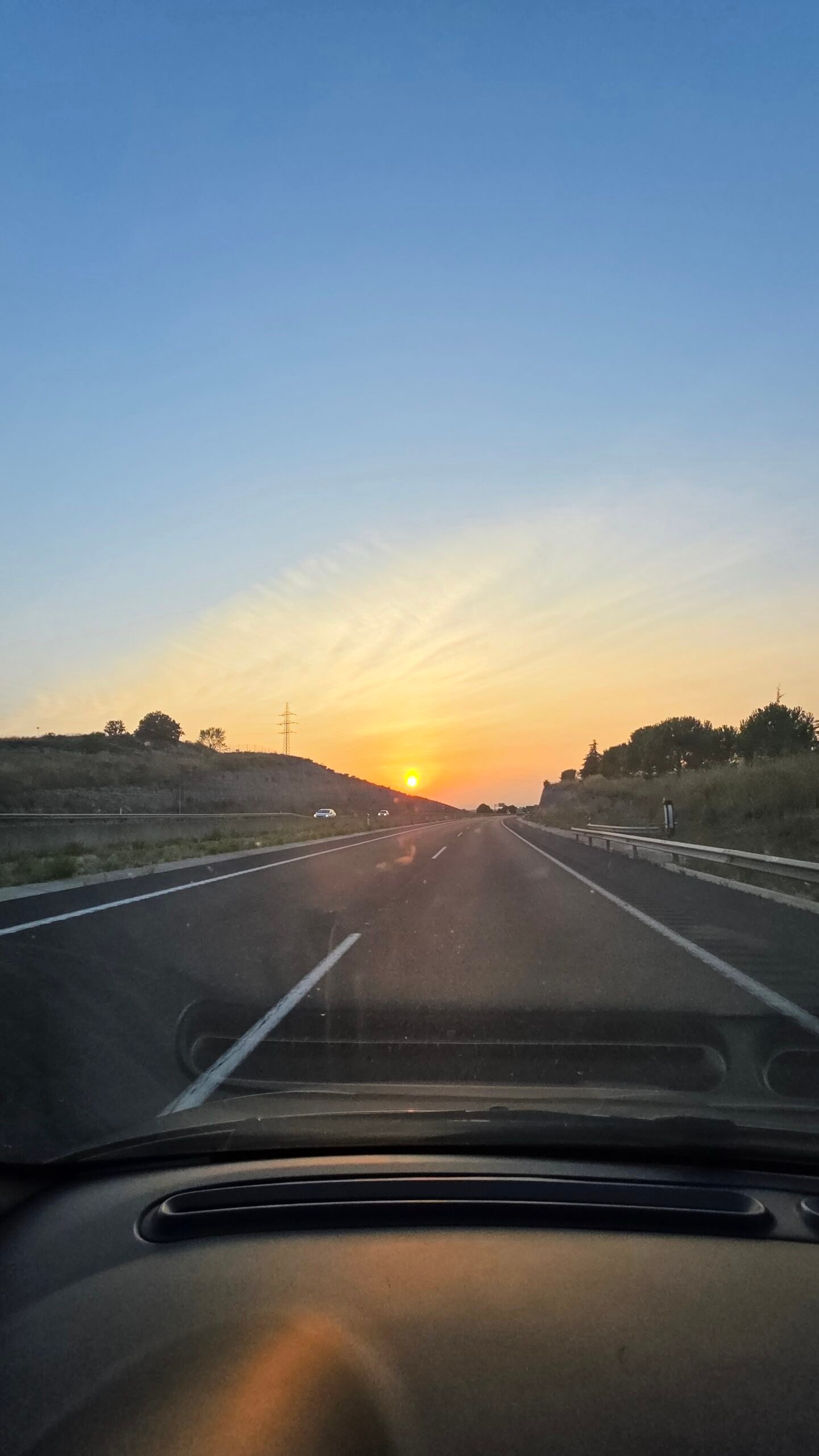
My ascent was on 7 August 2025. After Ta’ Dmejrek in Malta, I flew to Barcelona El Prat, rented a car from Centauro and drove towards Andorra. I reached Arinsal late in the evening, parked near the trailhead and slept in the car. The short night was peaceful, with quiet mountain air.
I began at 08:00 through forest and meadows, then climbed into the high valley. My diary remembers Estany de les Truites and Estany Negre in the morning light. Higher up the route became steep and rocky; near the ridge I briefly lost the track and found it again using GPS.
At 11:10 I reached the summit beneath a blue sky, with no wind and a panorama across the Pyrenees towards Spain and France. After a short break I descended carefully over loose rock, returned through the valley and reached the car at 13:45. I then drove back towards Barcelona Airport.
After weeks of rain, wind and sleepless travel, the warm, quiet day felt like a reward. It restored a sense of focus and reminded me why I love moving through the mountains. These are my own times and conditions, not a recommended pace or a prediction for another visit.

30 / Questions answered
Questions answered
How high is Coma Pedrosa?
The official park description gives 2,942 m, making it Andorra’s highest peak.
How long is the usual route?
The official Arinsal itinerary is 15.4 km with 1,372 m of ascent and descent; its detailed sheet gives about eight hours. Your route and pace may differ.
Can I finish in the same time as Adrian?
My 08:00–13:45 day is a personal record, not a typical target. Use the official route sheet and a generous safety margin.
Is it suitable for a beginner?
The summit route is difficult and physically demanding. Choose a shorter route or go with suitably experienced companions or a qualified guide if your skills are insufficient.
Does the route require climbing equipment in summer?
Dry summer conditions may permit hiking, but steep loose rock and exposure remain. Snow and ice require different skills and equipment; check the current route before deciding.
Where does the hike start?
The official sheet starts at the park car park near the Arinsal avalanche-control tunnel. Confirm local access and parking.
Does the GR11 go all the way to the summit?
No. The approach follows the GR11, then the summit route branches towards the ridge; check the official map and current markers.
Do I have to visit the refuge?
The official sheet describes a short deviation to the staffed refuge. Check your itinerary and its opening before depending on it.
Can I sleep at Refugi de Comapedrosa?
It offers accommodation when operating. Reserve directly and confirm opening, facilities and cancellation terms.
Is there an easier walk nearby?
The 1.2 km interpretive circuit is a low-level option near the park entrance; it does not reach the peak.
When is the best season?
The tourism authority recommends high routes particularly from late June to late September, subject to actual conditions; snow or storms can occur outside or within that period.
Can I drink water from the lakes?
Do not assume untreated lake or stream water is safe. Carry sufficient water and use appropriate treatment if relying on natural sources.
Can I take a bus to Arinsal?
Line L5 links Andorra la Vella and Arinsal, but verify current timetables, stops and the final walk to the start.
Can I camp or sleep in my car?
Rules vary by location and can change. Ask the park and local authorities; my 2025 experience is not evidence of permission today.
Is Andorra in the EU or Schengen area?
It is in neither. Check the documents and any re-entry visa needed for travel via Spain or France.
What number should I call in an emergency?
Call 112 in Andorra and provide your location and situation. Check insurance and rescue coverage before travelling.
What if the forecast deteriorates?
Change the route or turn back early, especially before reaching the exposed ridge. The summit can wait.
Sources and current information
Research checked 2 November 2026. Conditions and services can change.
- Visit Andorra route ↗
- Summit route ↗
- Interpretive circuit ↗
- Detailed official route sheet ↗
- Route sheet ↗
- Official route sheet ↗
- Refuge website ↗
- Visit Andorra description ↗
- Park information ↗
- Official circuit ↗
- Visit Andorra travel information ↗
- Passports and visas ↗
- National bus routes ↗
- Season guidance ↗
- Andorra’s national weather service ↗
- national avalanche bulletin ↗
- Official emergency information ↗
- Comapedrosa Nature Park ↗
- UNESCO valley ↗
