
01 / Start here
Start here
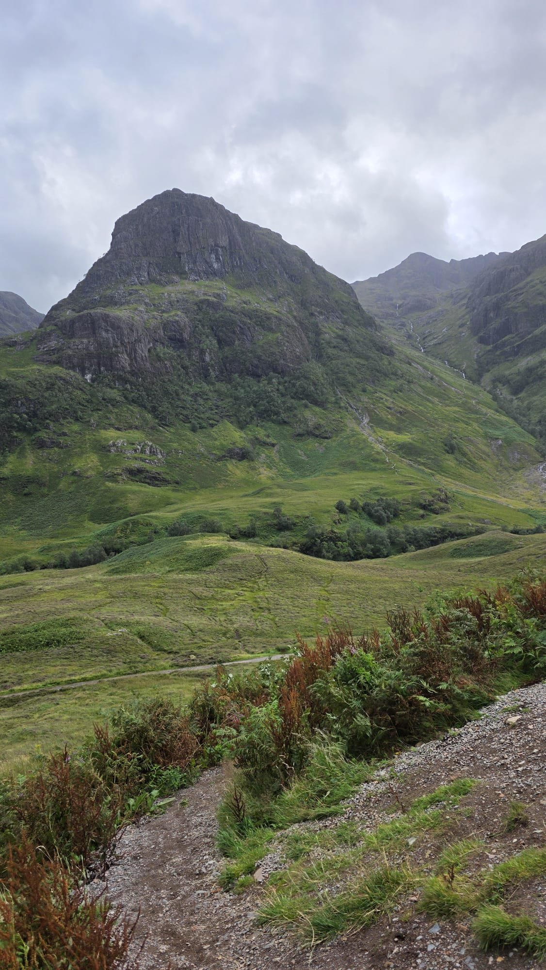
Ben Nevis rises to 1,345 m above Fort William and is the highest mountain in the UK. The Mountain Track is the usual walking route, but its exposed summit plateau and steep cliffs make it a serious mountain day. Good visibility at the start does not guarantee safe conditions higher up.

02 / The Mountain Track at a glance
The Mountain Track at a glance
The Nevis Landscape Partnership’s safety leaflet ↗ describes a roughly 16 km return with a typical 6–8 hours for its June–September guidance; VisitScotland ↗ suggests 7–9 hours. Allow the time your party and conditions need, including breaks and descent. These are not my personal times.
03 / Choose the right route
Choose the right route
The Mountain Track from Glen Nevis is the normal walking option. The Càrn Mòr Dearg Arête is a much more committing, exposed scramble for experienced parties; it is not a bad-weather alternative. Consider a lower-level Glen Nevis walk if the summit forecast or your experience makes the mountain unsuitable.
04 / Is the Mountain Track for you?
Is the Mountain Track for you?
The path gains substantial height over rough, rocky ground. You need fitness for a long descent, suitable equipment and the ability to navigate with map and compass in poor visibility. If you are new to mountain navigation, consider a qualified guide or build experience on less committing hills first.
05 / Where to start
Where to start
The usual approach starts around the Ben Nevis Visitor Centre in Glen Nevis; another access is near Achintee and the youth hostel. Confirm your actual start and finish on your map, and check parking and facilities with the visitor centre ↗. My 2025 start was near the youth hostel.

06 / The lower slopes
The lower slopes
From your chosen access, follow the Mountain Track uphill on the maintained path. It rises steeply in places and can be wet and rocky after rain. Set a sustainable pace, keep the party together and save energy for the return.

07 / The halfway lochan
The halfway lochan
The route passes above Lochan Meall an t-Suidhe, often called the halfway lochan. It is a useful landmark, not proof that you have completed half the time or effort. Check the forecast, daylight, your party and your navigation before continuing.
08 / Red Burn and zigzags
Red Burn and zigzags
Beyond the lochan the Mountain Track continues towards Red Burn and the long upper zigzags. Heavy rain can increase water flow and make stone slippery; do not cross if unsafe. Near the lochan take care to stay on the Mountain Track, not the path towards the North Face.
09 / The upper mountain
The upper mountain
The zigzags climb onto exposed, stony ground. Wind, cold and cloud can be very different from the glen. Cairns and tracks may be obscured by snow or fog, and following other walkers is not a substitute for navigating. Turn around if you cannot confidently find the way back.

10 / The summit plateau
The summit plateau
The plateau is broad but bordered by dangerous steep ground and cliffs. Keep well back from the edges, especially in fog, wind or snow, and do not assume every cairn marks your safe line. Use the local safety leaflet ↗ alongside a proper map and competent compass navigation.

11 / Leaving the summit
Leaving the summit
The descent from the plateau is a critical navigation decision: in cloud or snow a wrong direction can lead to cliffs, including the deceptively gentle approach to Five Finger Gully. Establish your position and take the appropriate bearings from a suitable map; keep well away from the edges. Do not use this article or a single GPS pin as a navigation plan.
12 / The descent
The descent
Allow enough daylight, food and energy for the long rocky return. Reassess weather and navigation as you descend, and follow your intended route back towards Glen Nevis. A headtorch is essential even when an early finish is planned.
13 / The Càrn Mòr Dearg Arête
The Càrn Mòr Dearg Arête
The arête involves exposed scrambling and a longer, more demanding mountain journey than the Mountain Track. It is for appropriately experienced, equipped parties in suitable conditions, with route-finding and escape options understood in advance. Snow, ice, wind and poor visibility can make it a very different undertaking.
14 / A lower-level alternative
A lower-level alternative
If conditions are poor or your party is not prepared for the summit, explore a suitable lower-level Glen Nevis walk instead. Select an appropriate route and check current path conditions and access. Turning back is a valid mountain decision, not a failed ascent.
15 / Getting to Fort William
Getting to Fort William
Fort William is the main base for Ben Nevis. Check current rail services with ScotRail ↗ and coach options with Scottish Citylink ↗. Timetables and onward connections change, so plan the journey to your actual trailhead rather than assuming a frequent bus.
16 / Driving and parking
Driving and parking
From Fort William, plan your approach to Glen Nevis and use an authorised car park. Check current charges, opening hours and any restrictions with the visitor centre ↗. Parking can be busy: arrive with an alternative in mind and never block residents, access gates or emergency vehicles.

17 / Where to stay
Where to stay
Fort William and Glen Nevis offer a range of accommodation, including campsites, hostels and hotels. Compare the location with your start and onward transport, and check availability for your dates. My same-day drive back to Edinburgh was part of a record attempt, not a recommended fatigue-management plan.
18 / When to climb
When to climb
Summer brings longer daylight but not guaranteed benign weather; snow can persist high on the mountain. Short winter days, ice, snow and avalanche conditions require winter mountaineering judgement, specialist equipment and the skills to use it. Postpone or choose a safer alternative when conditions exceed your experience.
19 / Mountain weather
Mountain weather
Check the Met Office mountain forecast ↗ and MWIS West Highlands forecast ↗ immediately before setting out. Look for summit wind and gusts, freezing level, precipitation, cloud base and visibility, not just the Fort William forecast. Turn back when conditions make safe progress or navigation uncertain.

20 / Snow ice and avalanche
Snow ice and avalanche
Snow may obscure the path and create overhanging cornices at the cliff edges. If snow or ice is present, assess whether you have the equipment and skills for the actual terrain. Consult the Scottish Avalanche Information Service ↗ for reports when operating and do not interpret a missing report as proof of safety.
21 / Map and compass
Map and compass
Carry an appropriate map and compass and know how to use them in poor visibility. The local leaflet lists OS Explorer 392 and Landranger 41, among other maps. Keep a phone and offline mapping as backups, not your only plan: batteries, signal and GPS fixes can fail.
22 / What to wear and carry
What to wear and carry
Pack waterproof jacket and trousers, warm layers, hat and gloves, sturdy footwear, food and sufficient water, headtorch, first aid, emergency shelter, charged phone and a power bank. Adapt to conditions and the party. Winter conditions demand additional skills and equipment; gear alone is not enough.
23 / Food water and facilities
Food water and facilities
Take enough food and water for the full outing plus delays. Do not assume a stream is safe to drink or rely on finding a refill high on the mountain. Check the visitor centre’s current facilities and hours before travelling and carry all litter back down.
24 / Emergency and rescue
Emergency and rescue
For an emergency call 999 or 112, ask for Police and then Mountain Rescue. Give your location, the problem, party details and a callback number. Reception is unreliable; conserve battery and follow the operator’s advice. The mountain rescue safety guide ↗ explains what information to prepare.
25 / Responsible access
Responsible access
Follow the Scottish Outdoor Access Code ↗ and stay on established paths where appropriate to reduce erosion. Take litter home, keep dogs under close control and respect grazing animals, residents and other walkers. Do not build extra cairns or remove stones.
26 / Plan your day
Plan your day
Check the forecast and daylight, share your route and expected return with a trusted person, and agree a turnaround time. Start with a realistic schedule, reassess at the lochan and preserve a margin for the descent. Have an alternative activity and travel plan if the summit is unsafe.
27 / Plan and costs
Plan and costs
Enter your own quotes below in pounds. Shared travel costs are divided between your group; accommodation, food and other listed amounts are per person. Charges and timetables change, so check the provider before booking. The calculator is a local estimate, not a live price.
Enter your own prices in pounds. Vehicle and main travel are shared; the other amounts are per person. Blank entries count as zero.
Saved planning checklist
Saved only in this browser.
28 / My climb on 5 August 2025
My climb on 5 August 2025
I had climbed Ben Nevis before, alone in winter with full mountaineering gear. After Carrauntoohil, I flew from Cork to Edinburgh, collected a rental car and drove north through the Highlands. The forecast was grim: winds up to 80 km/h, with reports of 140 km/h summit gusts the previous day. Those numbers were my account of that day, not conditions to imitate.
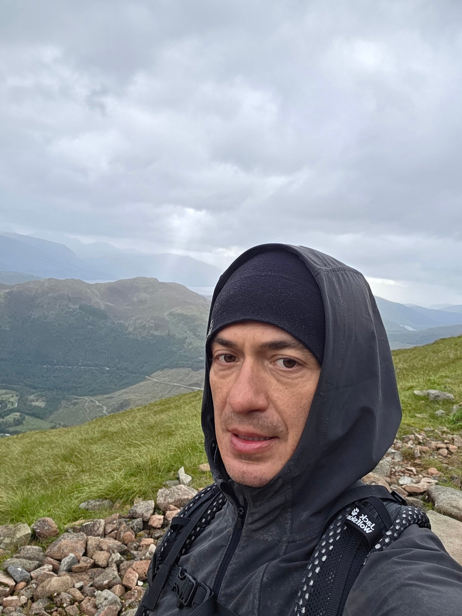
I parked near the youth hostel and started at 13:05, with rain already hammering down. Streams crossed the soaked lower path and cloud descended as I climbed. By halfway, visibility was only a few metres; near the top rain became sleet and gusts threw me off balance. At 15:17 I reached the summit plateau, soaked and frozen, stayed for a photograph beside the cairn, then turned back into the storm.
I reached the valley at 17:12, changed into dry clothes in the car and drove back to Edinburgh Airport to return the rental. My recorded Strava figures were 14.3 km, 1,367 m ascent and 3:35 moving time; they are personal, not route guarantees or suggested targets. The day reinforced my respect for mountains regardless of height: weather, endurance and judgement matter more than the number on a summit sign.

29 / Before you go
Before you go
Recheck the current mountain forecast, route and your return plan on the day. Do not copy the conditions, pace or late start of my record attempt. If the weather, navigation or your party’s condition is uncertain, turn back or choose a lower-level walk.

30 / Questions answered
Questions answered
How high is Ben Nevis?
Its commonly accepted height is 1,345 m, and it is the highest mountain in the UK.
Which route should most walkers consider?
The Mountain Track from Glen Nevis is the usual walking route, but it remains a long mountain day requiring preparation and navigation skills.
How long does the Mountain Track take?
The local summer leaflet suggests 6–8 hours; VisitScotland suggests 7–9. Your time depends on weather, fitness, breaks, navigation and the whole party.
How far is the route?
The local safety leaflet gives approximately 16 km return. Your recorded distance varies with the start, track and device.
Is Ben Nevis easy?
No. Even the normal route is steep, rough and exposed, with cold, wind and serious navigational hazards on the plateau.
Can a beginner climb it?
A fit beginner with adequate preparation, appropriate conditions and competent navigation support may manage the Mountain Track. Consider a qualified guide and turn back if unsure.
Where does the walk start?
Common access points are the visitor centre and the Achintee or youth hostel area in Glen Nevis. Confirm your start, parking and return on a suitable map.
Is there parking?
Visitor-centre parking is available, subject to current conditions and charges. Check the operator and arrive with an alternative; never obstruct the road or emergency access.
Can I travel by public transport?
Fort William has rail and coach connections. Check current services and onward transport to your chosen trailhead before planning the day.
Do I need a guide?
A guide is not automatically required, but can be a good choice if you lack mountain navigation experience or local knowledge. Choose someone suitably qualified.
Can I climb in winter?
Only with appropriate winter mountaineering experience, equipment and conditions. Snow, ice, cornices and avalanche hazards need specialist judgement.
Is there snow in summer?
Snow can persist high on Ben Nevis. Check current conditions and avoid snow or ice terrain beyond your skills and equipment.
Can I follow the cairns in fog?
Do not rely on cairns or other walkers alone. Carry a suitable map and compass and know how to navigate safely, particularly on the summit plateau.
What is the main descent hazard?
Poor visibility can hide the correct route and nearby cliffs, including Five Finger Gully. Establish your position and use your map and compass before leaving the summit.
Can children or dogs go?
Suitability depends on the individual, the weather and the route. The rough length and cold are demanding; keep children close and dogs under control, and turn back if needed.
Is water available on the mountain?
Do not rely on a refill or assume untreated water is safe. Carry sufficient water and check facilities at your start.
What should I do in an emergency?
Call 999 or 112, ask for Police then Mountain Rescue, and give your location and incident details. Reception may be unreliable.
Sources and current information
Research checked 2 November 2026. Conditions and services can change.