
01 / Start here
Start here.
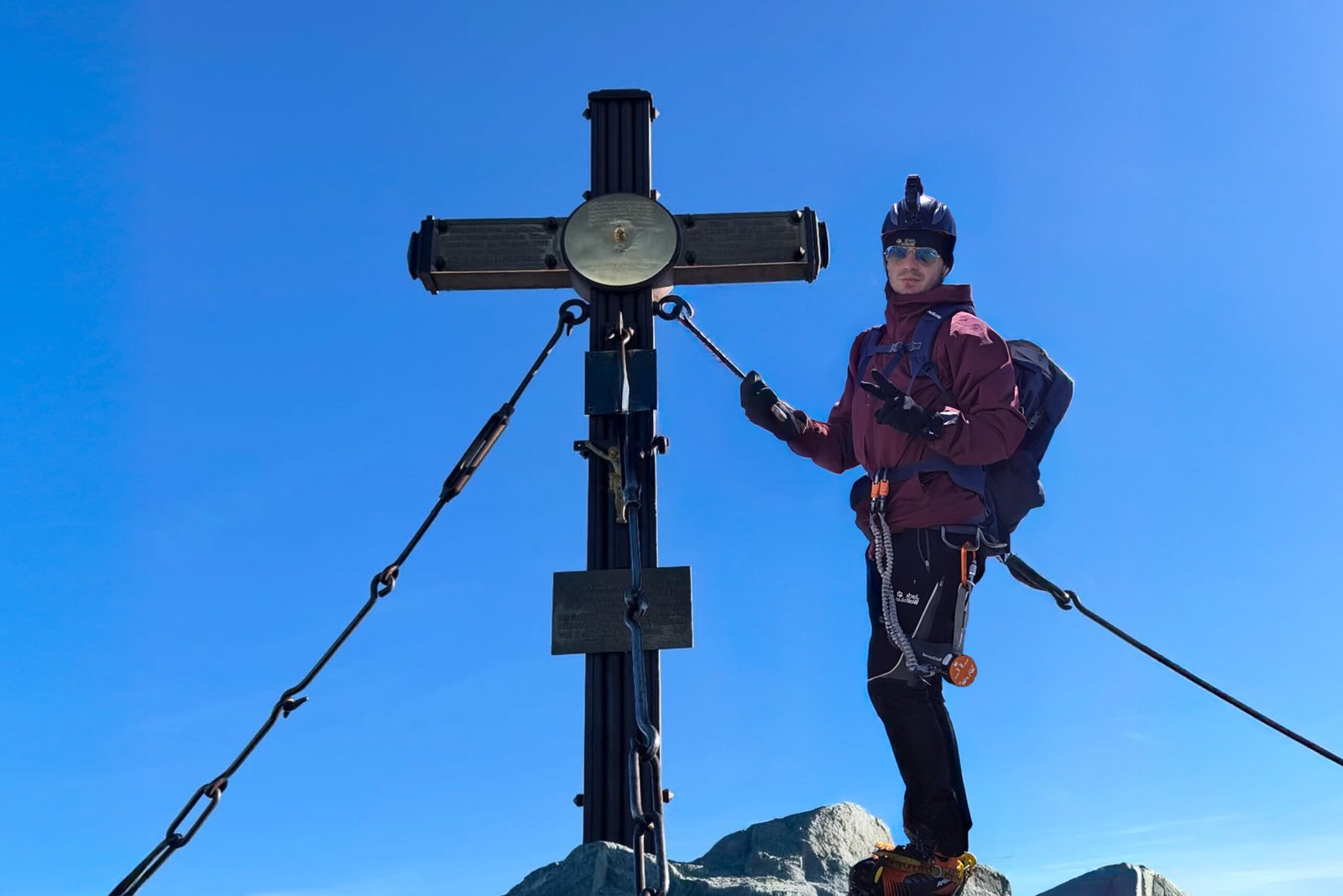
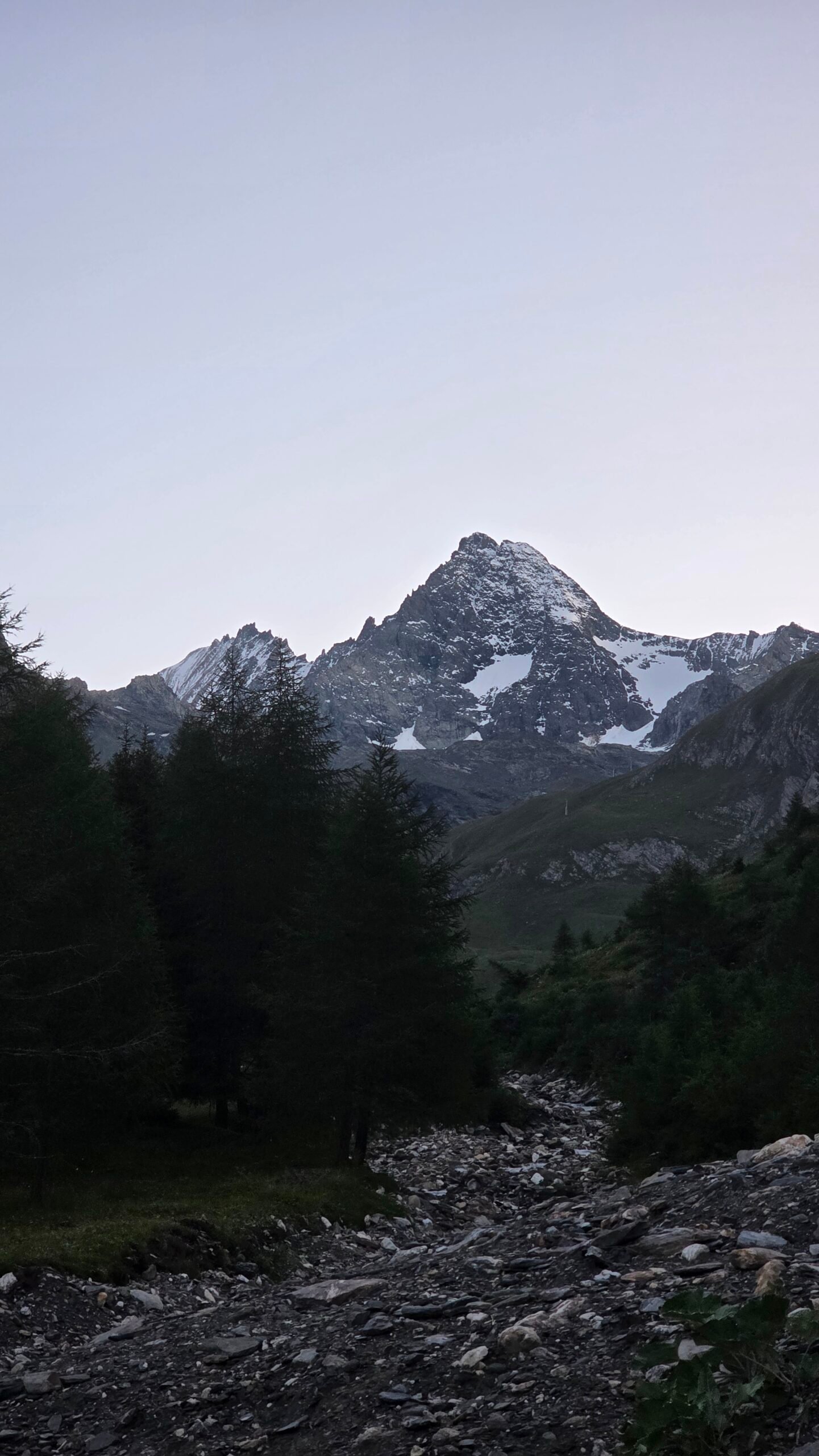
Großglockner rises to 3,798 m in the Hohe Tauern. The normal route is an alpine climb with glacier travel, steep snow or ice and an exposed rock ridge. The Austrian Alpine Club describes its Lucknerhaus itinerary as difficult and recommends technical mountaineering equipment. Alpine Club guide.
02 / Normal route
Normal route.
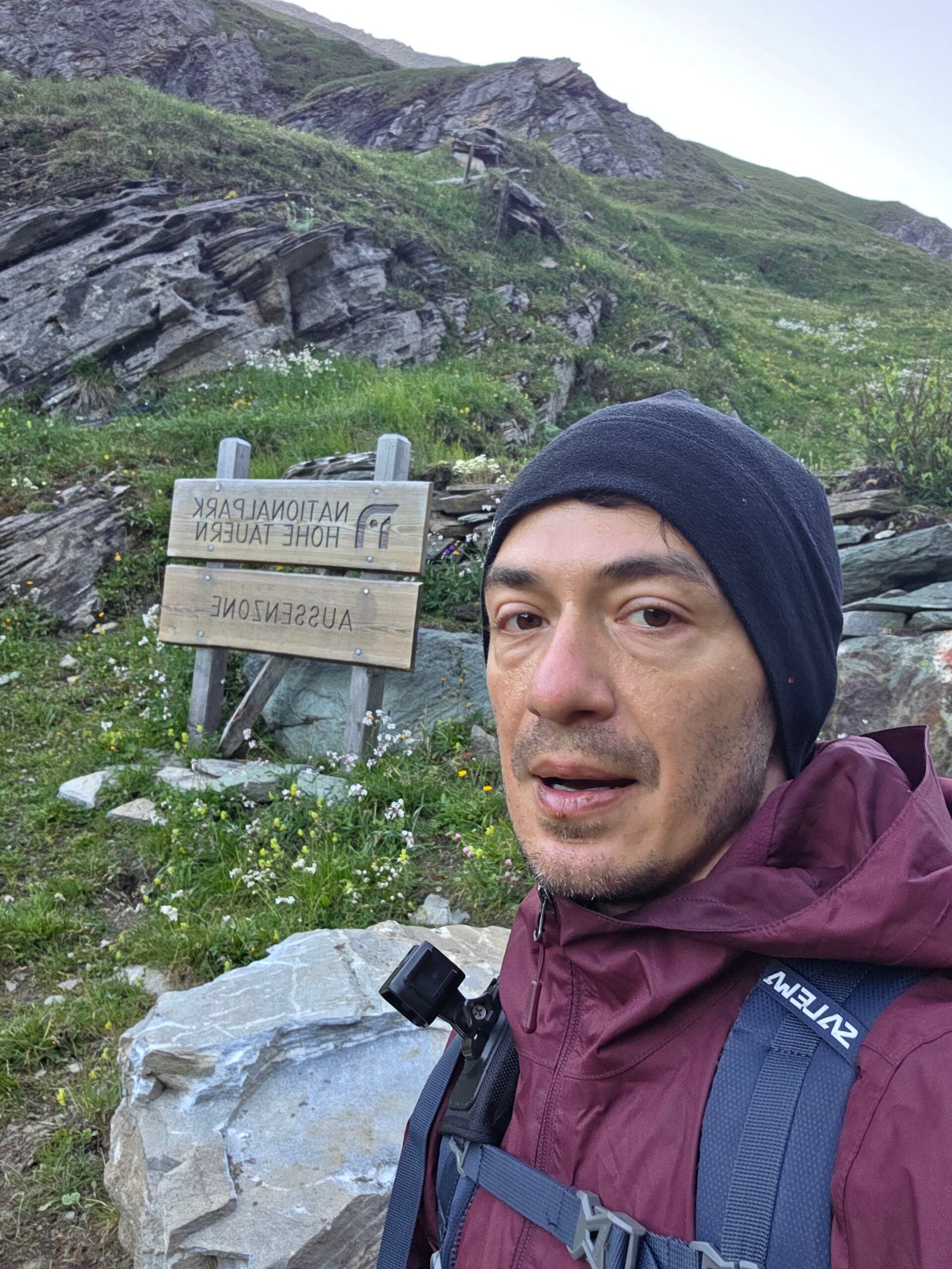
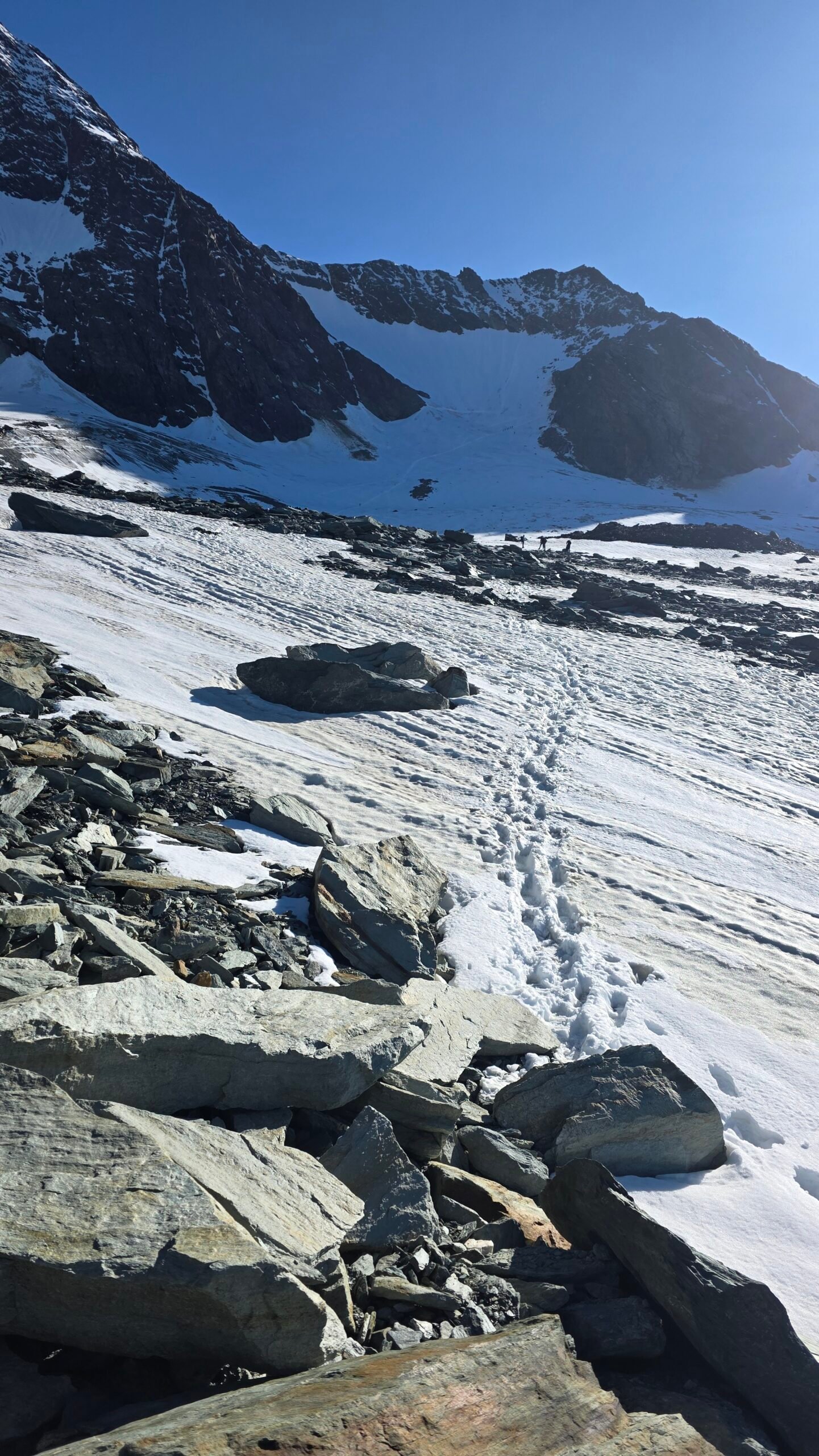
The Alpine Club describes an ascent from Lucknerhaus toward the Adlersruhe and Erzherzog-Johann-Hütte, then the Glocknerleitl and summit ridge. Exact glacier access and protection change with conditions. This is a route overview, not a substitute for current local advice. Route comparison.
03 / Mountain guide
Mountain guide.
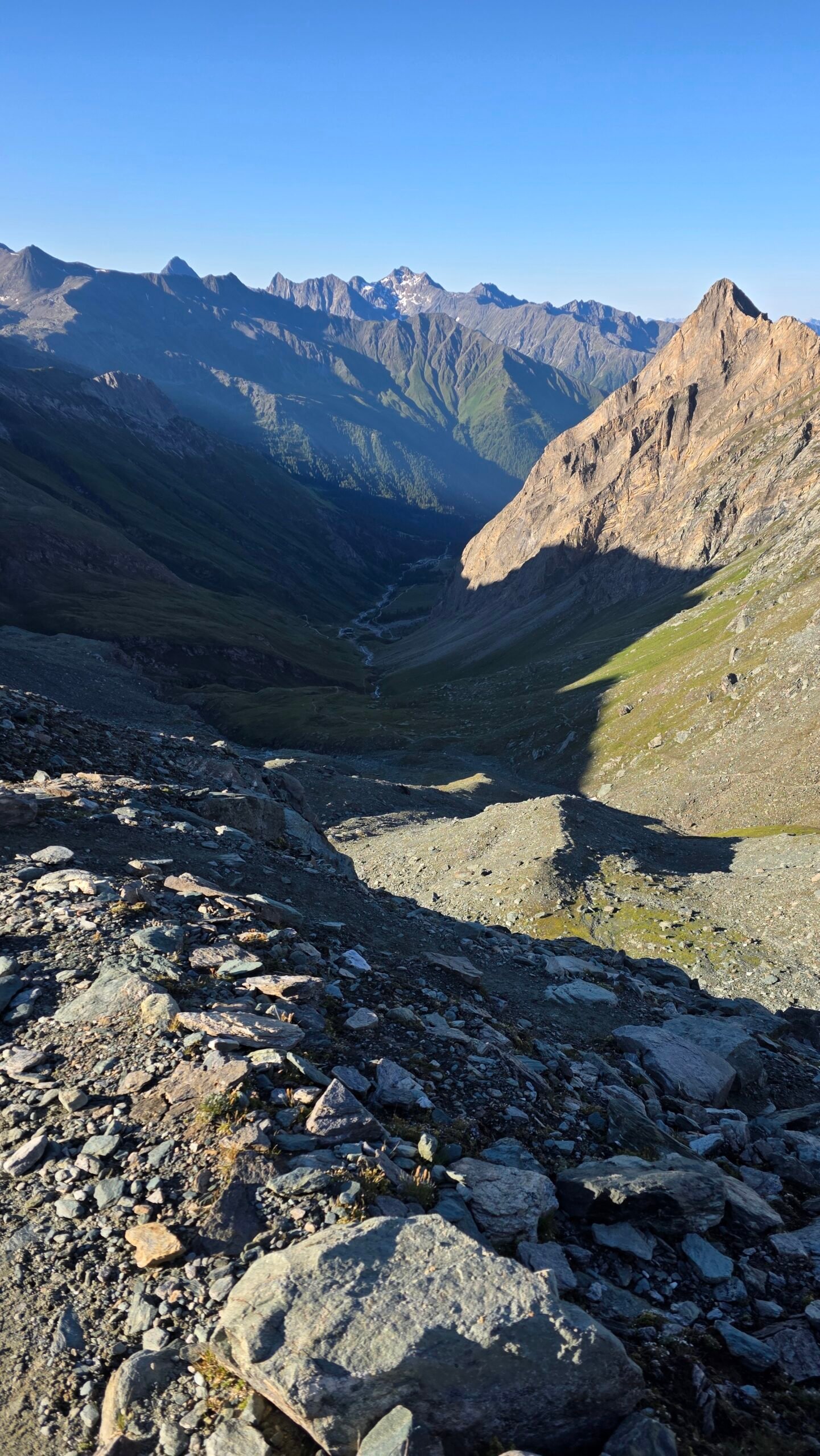
A qualified local mountain guide is the appropriate choice unless your party already has the skills, experience and equipment for glacier travel, crevasse rescue, steep snow and exposed climbing. Discuss group size, equipment, route and cancellation policy before booking.
04 / Glacier approach
Glacier approach.
Crevasses, changing ice and rockfall affect glacier travel. A rope and rescue equipment require trained team members and sound judgement. Ask a guide or hut about current access and conditions; a historic GPS track cannot guarantee a safe route.
05 / Summit ridge
Summit ridge.
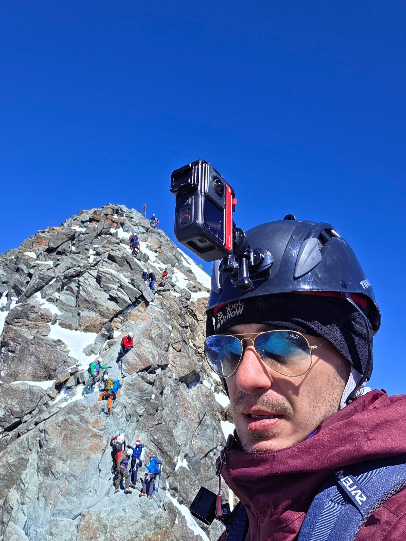
Above Adlersruhe the route involves steep ground and exposed rock, with potential queues and parties moving in both directions. Snow, ice and loose rock change its difficulty. A fixed pole or occasional cable does not make this a protected hike.
06 / Stüdlgrat
Stüdlgrat.
Stüdlgrat is a distinct and more technical climbing objective, not a shortcut on the normal route. It requires appropriate rock and glacier skills and careful preparation. Compare options with a qualified guide. Alpine Club comparison.
07 / Safety
Safety.
Agree on turnaround criteria, weather limits and a plan for injury or delays before leaving. Avoid solo glacier travel and do not rely on summit ambition when conditions deteriorate. In an emergency call 112 or the Austrian alpine emergency number 140.
08 / Mountain huts
Mountain huts.
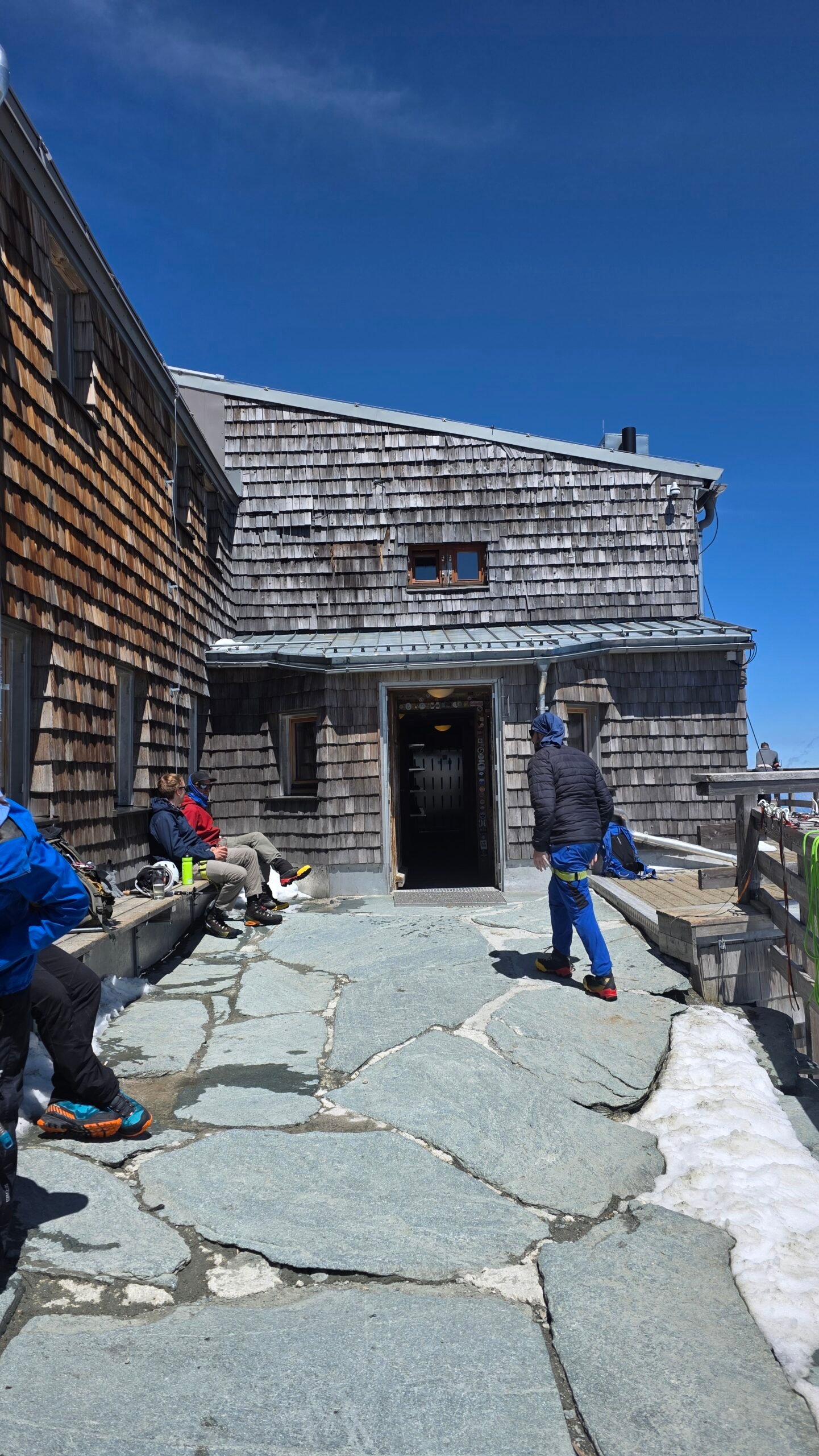
The Erzherzog-Johann-Hütte at Adlersruhe and Stüdlhütte are important high-mountain bases on different itineraries. Check access, opening, reservations and cancellation terms directly. A reservation is not a reason to continue in unsafe conditions.
09 / Lucknerhaus approach
Lucknerhaus approach.
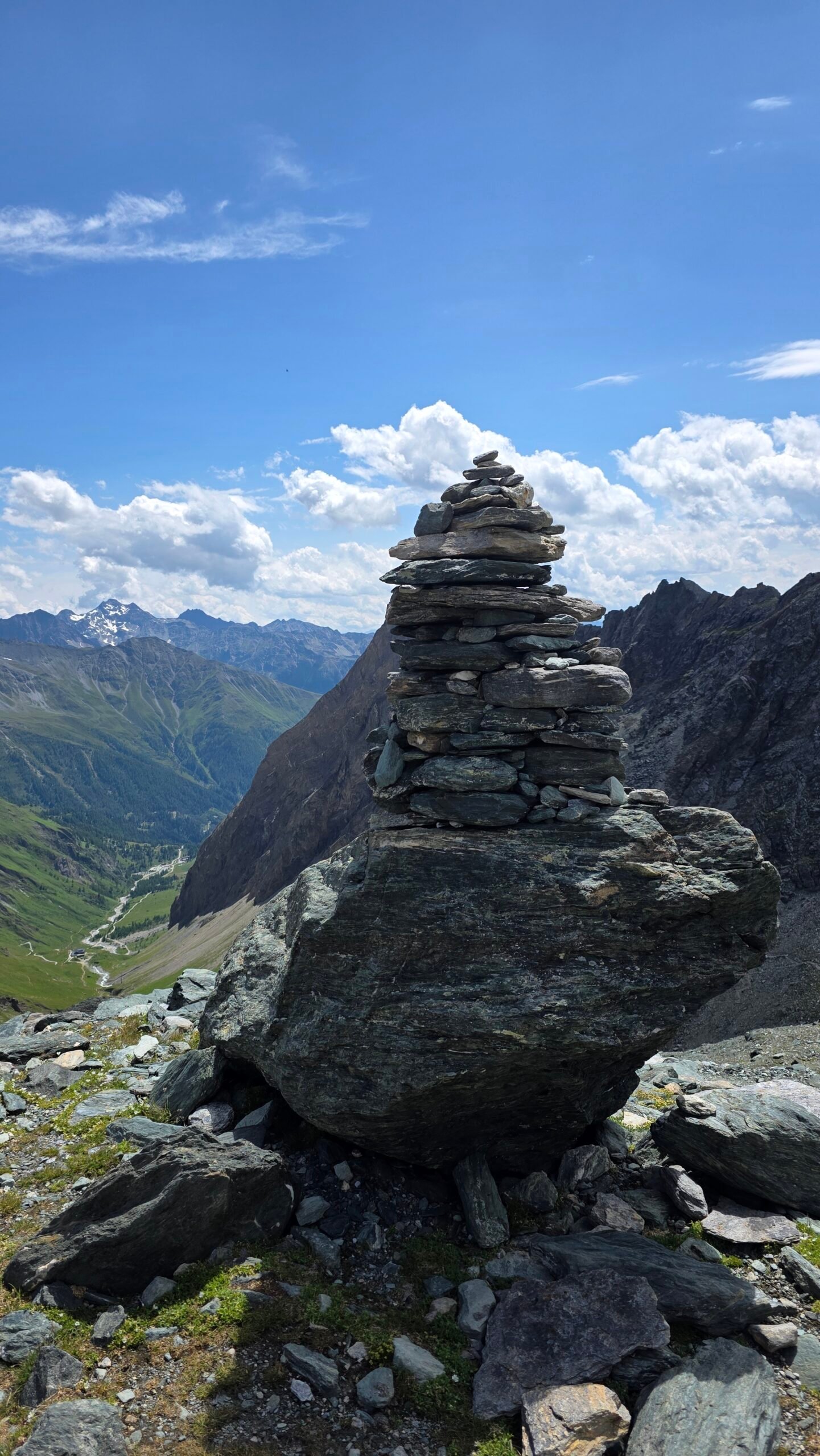
The Austrian Alpine Club describes a Kals-side start at Lucknerhaus, with Lucknerhütte on the approach. Verify toll-road access, parking, transport and current conditions for your chosen line. Lucknerhütte information.
10 / Time and distance
Time and distance.
The Austrian Alpine Club example from Lucknerhaus gives about 16 km, 1,900 m ascent and two days or 13 hours for its normal-route itinerary. These are planning figures for that specific route, not a guarantee for your group. Club itinerary.
11 / Weather
Weather.
Check mountain wind, temperature, precipitation and thunderstorms immediately before the climb and again on the route. Visibility and ice can change rapidly at altitude. GeoSphere Austria.
12 / When to climb
When to climb.
Snow cover, glacier openings, ice and hut operations vary each year. The summer season is not a guarantee of dry or safe conditions. Ask guides and huts for recent reports rather than relying only on a calendar.
13 / Fitness and altitude
Fitness and altitude.
Train for long mountain days with substantial ascent and descent. Fitness does not replace technical skill; fatigue and altitude can slow decisions and movement. Discuss experience and health honestly with your guide.
14 / Equipment
Equipment.
Helmet, harness, rope, crampons, ice axe and crevasse-rescue equipment may be required in addition to waterproof clothing, insulation, food, water and a headlamp. Confirm the precise list with your guide and practise using it.
15 / Injuries
Injuries.
My own knee pain intensified during the climb and made the descent especially difficult. Injury is a reason to reassess early and seek help if necessary; do not use my experience as a recommendation to push through pain.
17 / Getting there
Getting there.
Kals am Großglockner is a useful base for the Lucknerhaus approach. Check rail, bus, local transfers and the final connection against your actual route and meeting time. ÖBB journey planner.
18 / Parking and road
Parking and road.
For the Kals-side approach, check current access and charges for the road and parking before travelling. Keep access clear and verify whether your planned descent returns to the same place.
19 / Where to stay
Where to stay.
Kals and the surrounding valleys offer accommodation; high huts can divide an ascent into stages. Confirm opening, bed reservations and your guide’s meeting arrangements.
20 / Food and water
Food and water.
Carry adequate food and water plus a reserve for delays. Do not assume a hut is open or that a glacier stream is safe to drink. Ask about supplies before your trip.
21 / Emergency plan
Emergency plan.
Call 112 or 140, give your location and follow the dispatcher. Bad weather can delay rescue, and glacier incidents demand immediate trained action from the team.
22 / National park
National park.
Respect protected areas and access rules, keep to permitted routes, avoid disturbing wildlife and take waste home. Check current notices from Hohe Tauern National Park. National park.
23 / A practical itinerary
A practical itinerary.
Allow an arrival and conditions-check day, a hut approach if chosen, a summit day with an early start, and flexibility for weather. Confirm the details with a qualified local guide.
24 / Costs
Costs.
Budget for travel, road and parking charges, huts, food, guiding, technical equipment and insurance. Use your own current euro quotes below; costs are not live prices.
25 / Changing conditions
Changing conditions.
The Alpine Club warns that glacier retreat and bare ice can make familiar alpine routes more demanding. Seek recent advice and be willing to change plans. Changing mountain conditions.
28 / Saved checklist
Prepare for an alpine ascent.
Saved only in this browser. This is a serious alpine climb across glacier and exposed rock. Go with a qualified guide unless your team has the necessary mountaineering and rescue skills.
29 / Cost calculator
Use your own quotes.
Plan in euros.
Enter your own current prices in EUR. Vehicle and main travel are shared; the other amounts are per person. Include any park, guide and transfer quotes under the appropriate fields. Blank entries count as zero.
My story, FAQ & sources
Fear, pain and the hardest summit.
After Triglav, we drove to Kals. I spent the night in a tent and started climbing at 05:24 on 19 July 2025. I reached the Erzherzog-Johann-Hütte around 10:20 before continuing toward the ridge.
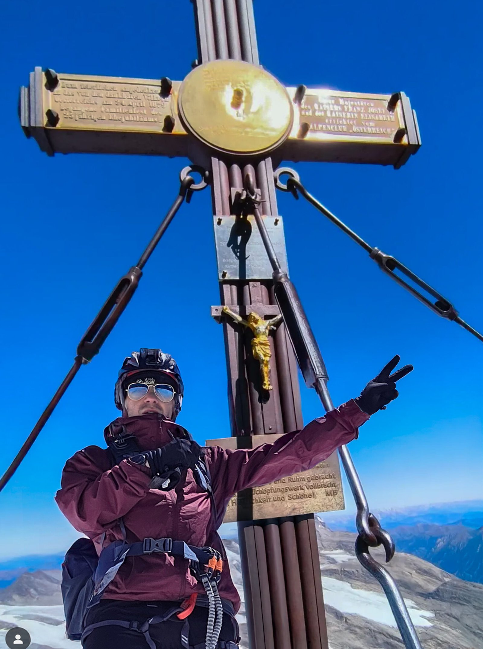
The rock was wet and the route crowded. My knee pain worsened sharply on the ascent; I was climbing alone and unroped, a decision I later recognised as a mistake. Around 12:30 I reached the summit, exhausted and frightened, though the clouds had opened to reveal extraordinary views.
The descent was harder as my knee deteriorated. I passed the hut again and reached the valley around 17:50. This remains a personal account, not an example of how to plan an ascent: a qualified guide, technical preparation and a conservative response to injury are essential considerations.
Frequently asked questions
How high is Großglockner?
It is 3,798 m, the highest mountain in Austria.
Is the normal route a hike?
No. It is a serious alpine route with glacier, snow or ice, and exposed rock.
Do I need a guide?
Choose a qualified guide unless your team has the necessary independent alpine and rescue skills.
Are there crevasses?
Glacier approaches can contain crevasses and conditions change.
Is a rope needed?
Glacier and exposed-ridge protection require appropriate equipment and skills; discuss the current route with a guide.
Can I climb it in one day?
Experienced parties sometimes do, but the Alpine Club also describes a two-day itinerary; plan conservatively.
What is the Adlersruhe?
The high location of the Erzherzog-Johann-Hütte on the standard route.
Is Stüdlgrat the normal route?
No. It is a separate, more technical ridge climb.
Can conditions change in summer?
Yes. Snow, ice, weather and glacier access change throughout the season.
Do I need a helmet?
A helmet is part of normal alpine equipment; confirm the complete list with your guide.
Where can I start?
The Alpine Club describes an itinerary from Lucknerhaus above Kals.
What is the emergency number?
Call 112 or Austrian mountain rescue on 140.
When did Adrian climb?
19 July 2025.
What if my knee hurts?
Reassess early and seek appropriate advice or help; do not assume you can safely finish.
Sources and current information
Research checked 2 November 2026. Conditions, access and prices can change.
- Austrian Alpine Club: route comparison ↗ — Normal route, Stüdlgrat and equipment
- Austrian Alpine Club: changing alpine routes ↗ — Changing glacier and ice conditions
- Austrian Alpine Club: Lucknerhütte ↗ — Approach hut information
- Hohe Tauern National Park ↗ — Park information
- GeoSphere Austria ↗ — Weather and warnings
- Austrian Federal Railways ↗ — Rail travel