Ukraine – Hoverla (2,061 m)
⛰️ Altitude: 2,061 m
📍 Coordinates: 48°09′36″N 24°30′01″E
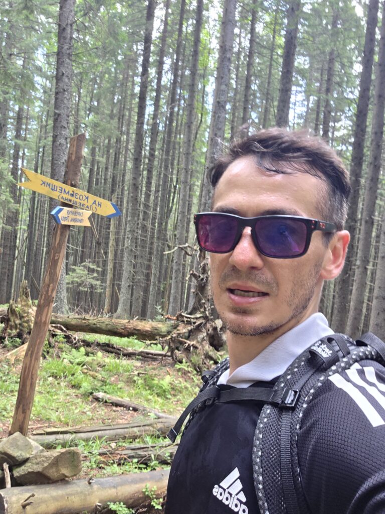
🗺️ Route: Kozmechyk – Hoverla Summit – Return
🚗 Transport to region: 3,509 km total
• 155 km drive Mulhacén → Málaga Airport
• 2,714 km flight Málaga → Bucharest
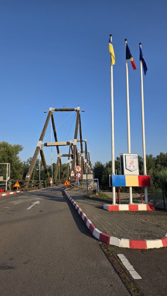
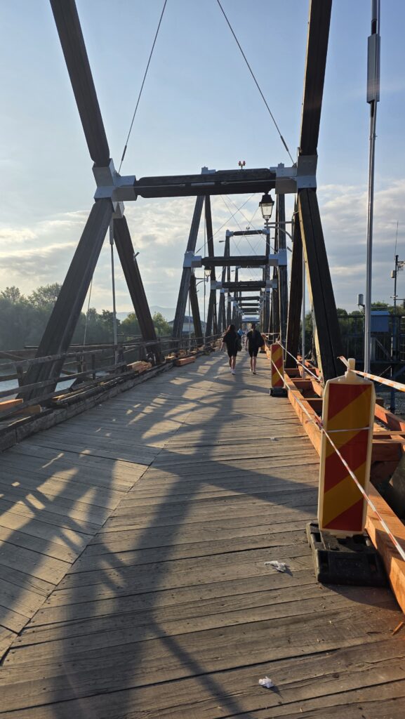
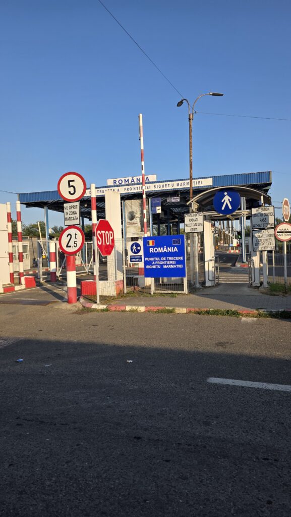
• 548 km drive Bucharest → Solotvyno (Romanian–Ukrainian border)
• 92 km bus Solotvyno → Kozmechyk
💤 Accommodation: Slept at Málaga Airport before the flight
🌥️ Conditions: Warm, humid, cloudy with moderate wind near summit
🚙 Journey to the Carpathians
After descending from Mulhacén in Spain, I drove back to Málaga Airport and spent the night sleeping inside before catching an early flight to Bucharest. From there, I rented a car and began the 548 km drive north toward the border with Ukraine.
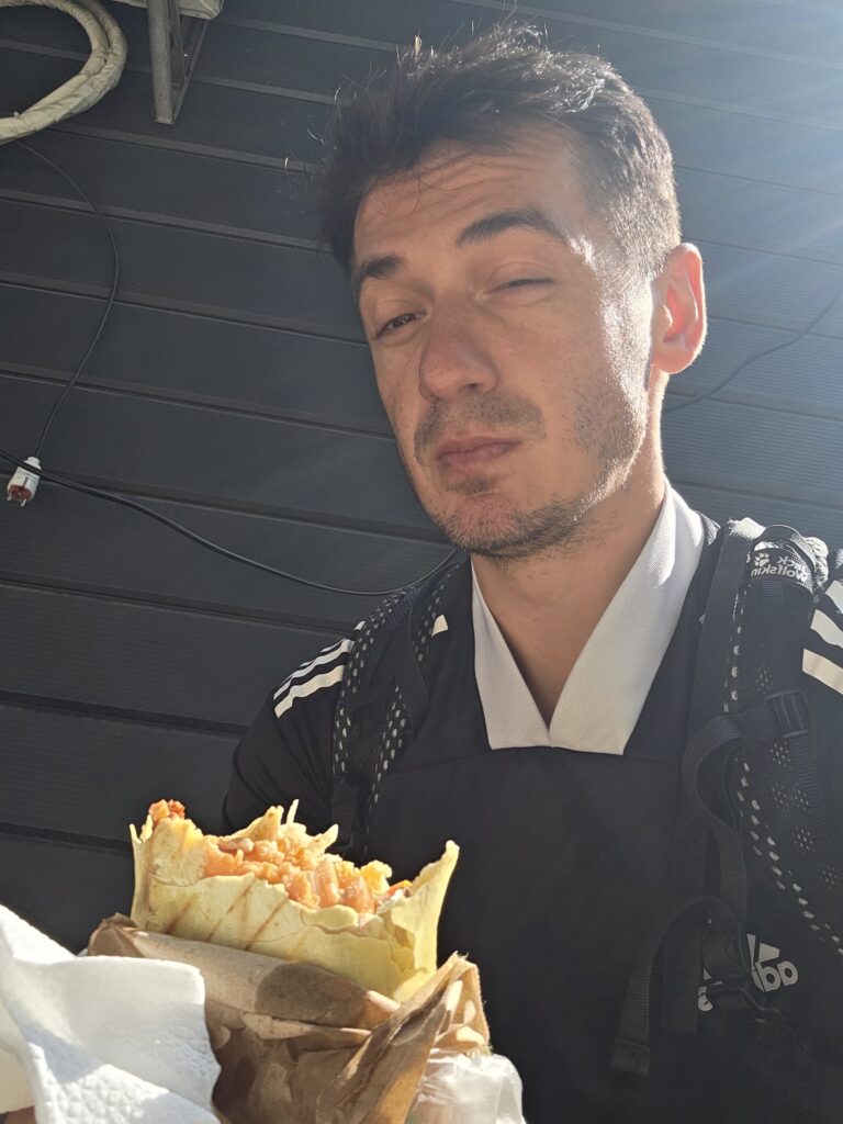
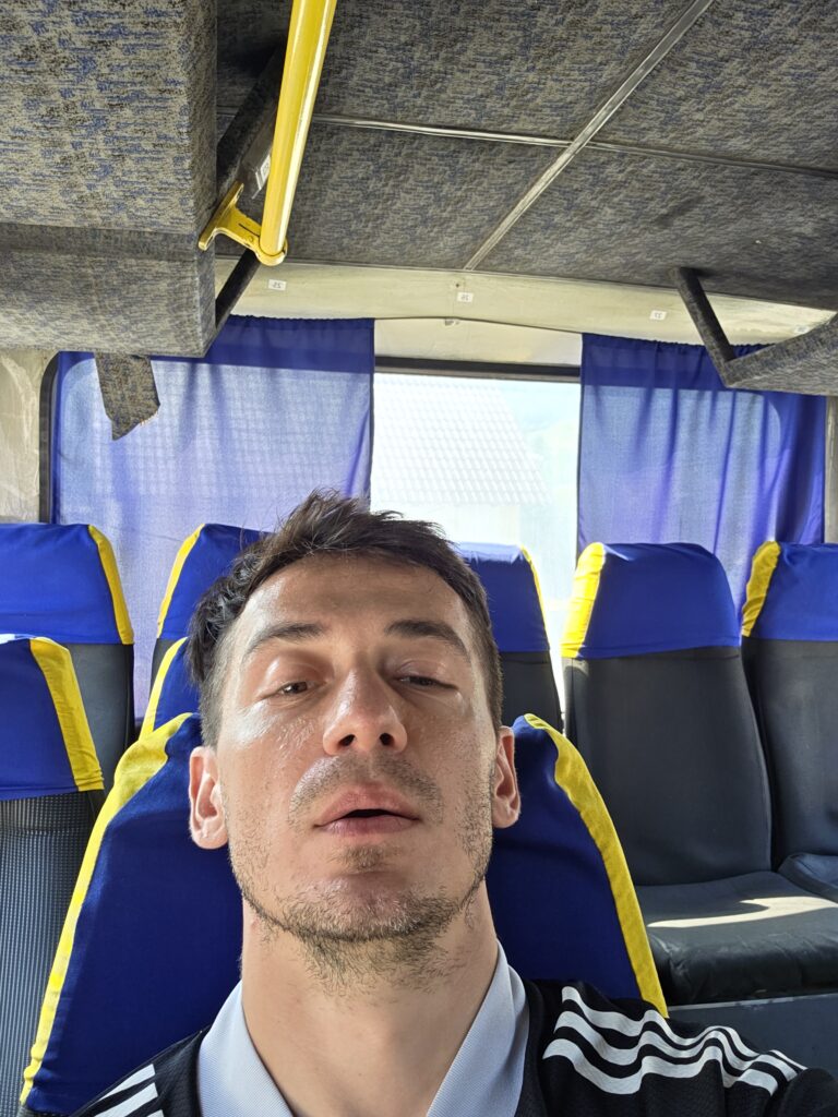
The trip was long and rough, hours of narrow roads, border checks, and fatigue. I crossed into Ukraine on foot early the next morning, then used a mix of local minibuses and shared rides to reach Kozmechyk, the trailhead for Hoverla. It was a journey full of small challenges, language barriers, confusing timetables, and constant rushing against time.
🥾 The climb
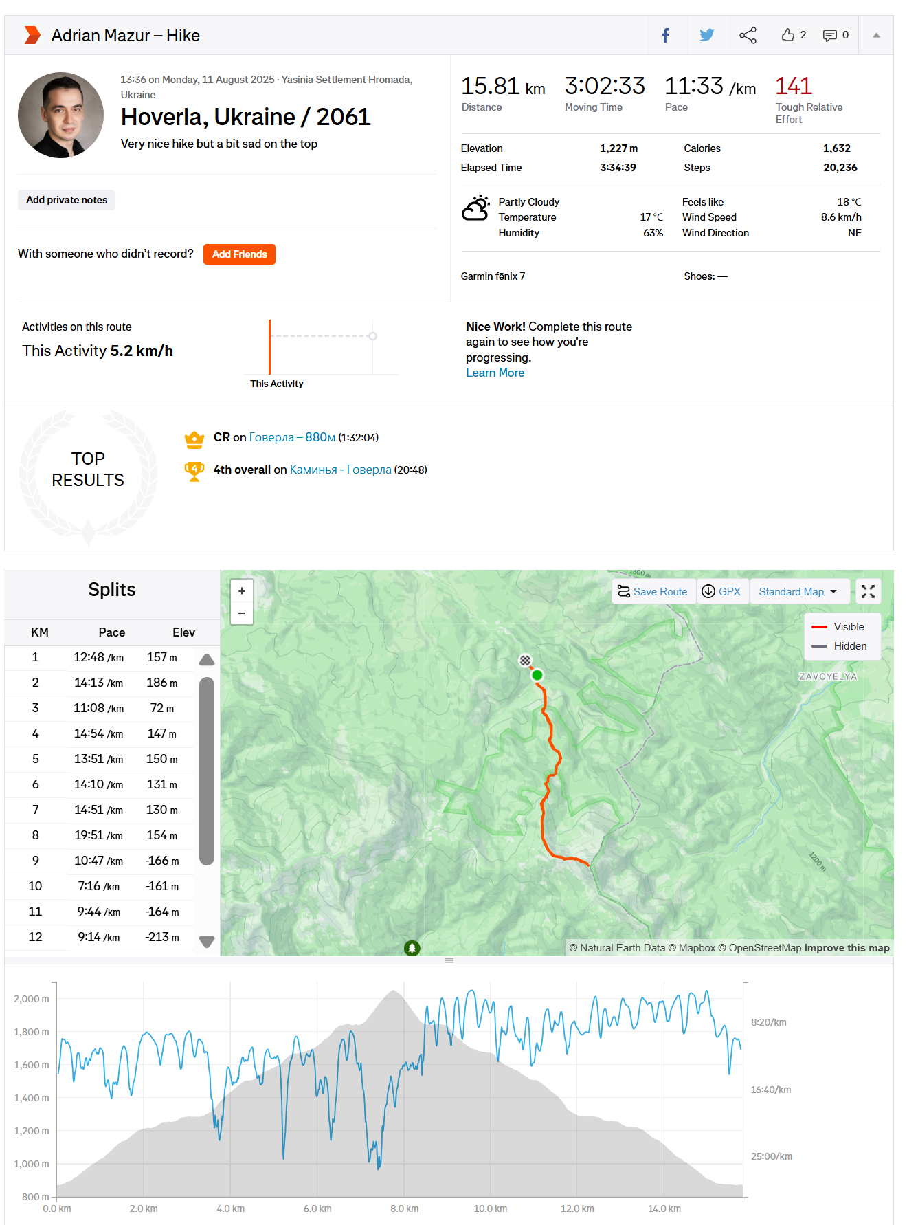
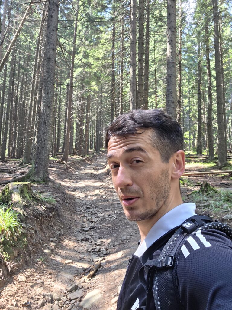
I began my hike at 13:36, moving fast from the first steps. According to my Strava track, I covered 15.81 km with 1,227 metres of elevation gain in just over 3 hours and 2 minutes of moving time, an average pace of 5.2 km/h, one of the fastest of the entire expedition.
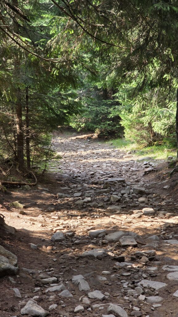
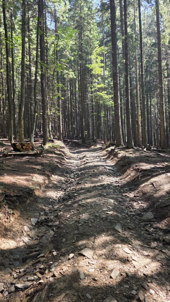
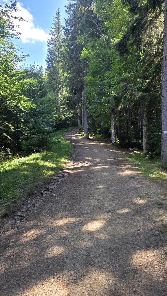
The trail started through thick forest before opening into alpine meadows. The air was heavy and humid, with clouds clinging low to the ridges. I pushed hard, driven by adrenaline and a strong will to finish early and safely return before nightfall.
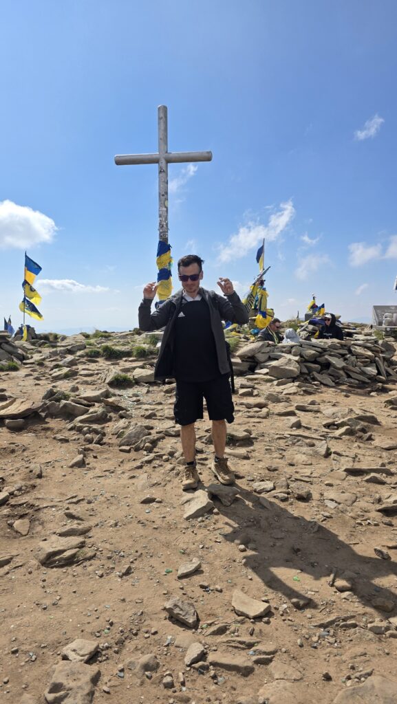
By 15:30, I stood on the summit, the highest point of Ukraine. The wind picked up slightly, mist floated across the slopes, and the Ukrainian flag waved above a silent, cloud-covered landscape. Despite the quick climb, I stayed only a few minutes. The top felt emotional and strangely quiet, a powerful moment in a country still facing so much pain.
⛰️ The descent
I descended fast, retracing the same route down toward Kozmechyk. The weather held, still cloudy, still grey, but dry enough for a quick return. My Strava track shows steady downhill pacing, finishing the full round trip in 3 hours 34 minutes total elapsed time.
By the time I reached the village, I was exhausted but relieved. I managed to get transport back toward Solotvyno and crossed into Romania again the same evening, around 21:00.
💭 Reflection
Hoverla wasn’t the hardest climb of the expedition, but it carried one of the deepest meanings. It was my first ascent in an active war zone, quiet, respectful, and filled with mixed emotions. Standing on that summit, seeing the flag in the wind, I felt both gratitude and sadness.
Physically, it was one of my fastest and cleanest climbs, focused, efficient, no wasted motion. Mentally, it was heavy. A reminder that mountains can hold memory and meaning beyond their height.
📅 Date: 11 August 2025