🕊️ Phase 2 – Fly High (4 August – 15 August 2025)
🌍 Region: Western, Southern & Eastern Europe
📆 Duration: 12 days
🛣️ Distance covered: ~13,500 km (car, plane, bus, and train)
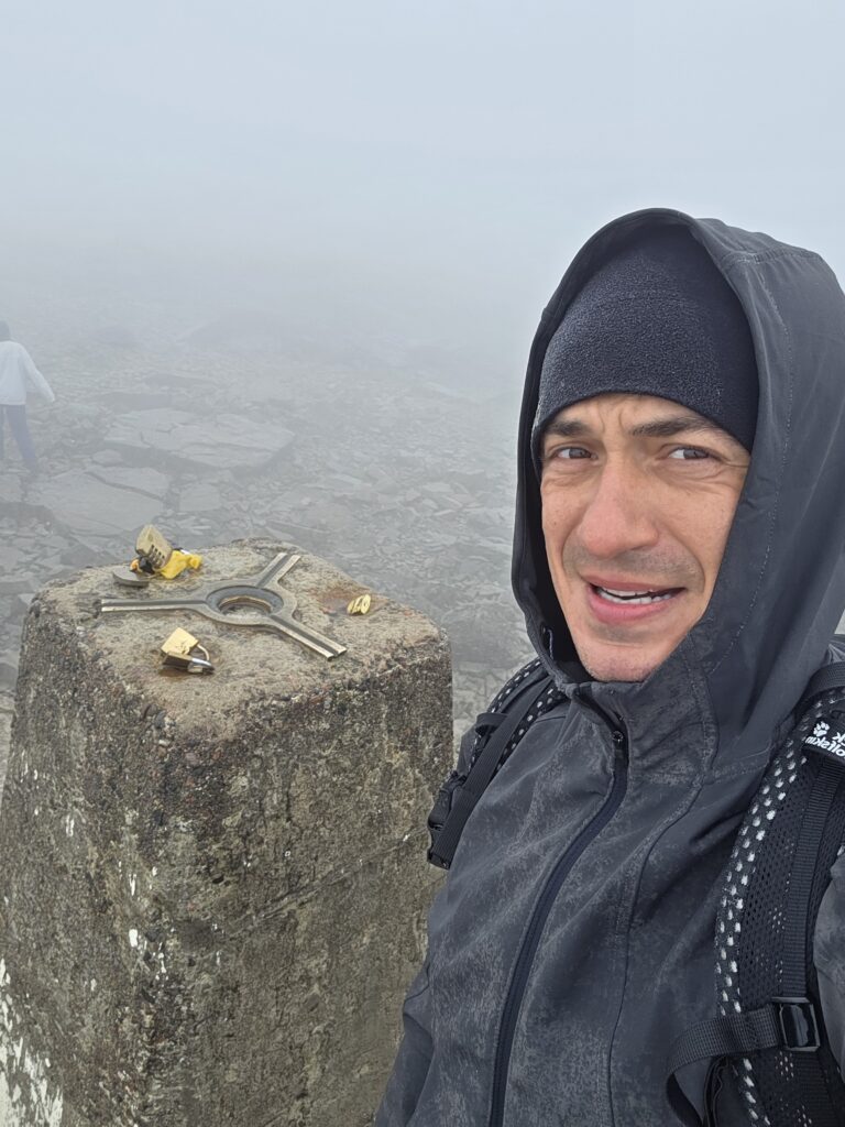
🏔️ Final peak: Mahya Dağı, Turkey (1,031 m) on 15 August 2025
✈️ Overview
Phase 2 Fly High was the fastest, hottest, and most logistically demanding leg of the entire expedition. In less than two weeks, I moved through ten countries, connecting the far edges of Europe with a rhythm of flights, buses, rented cars, and mountain trails.
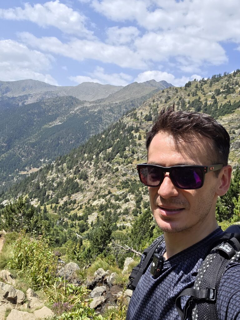
It began with Carrauntoohil in Ireland, where Atlantic wind and mist marked a return to the summits after the intense opening phase. From there, the route passed through the United Kingdom’s Ben Nevis, before leaping south into the Mediterranean Malta, Andorra, and Portugal, each peak wildly different from the last.
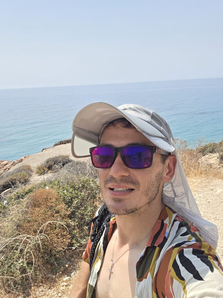
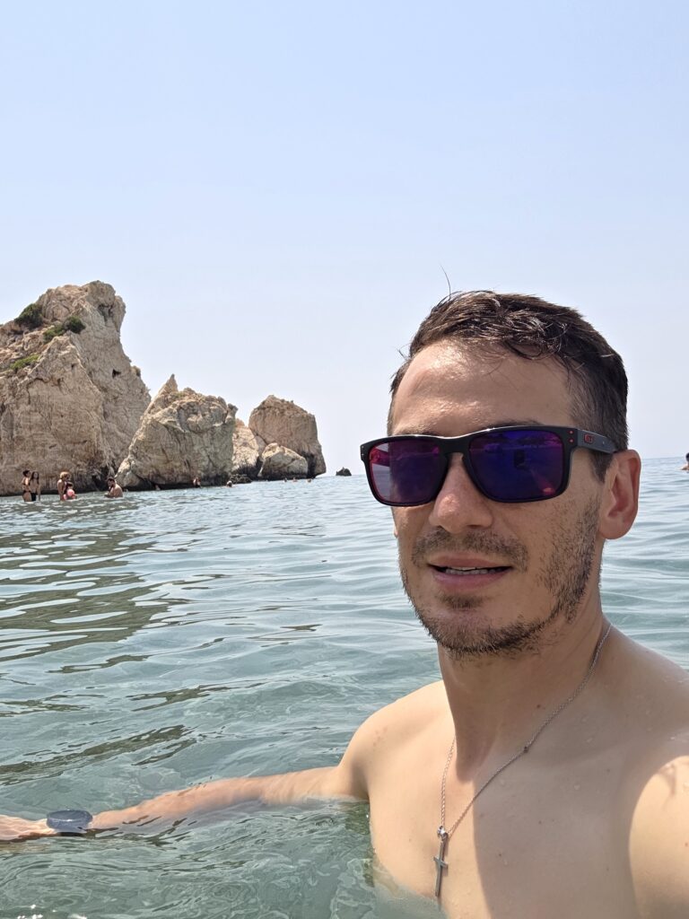
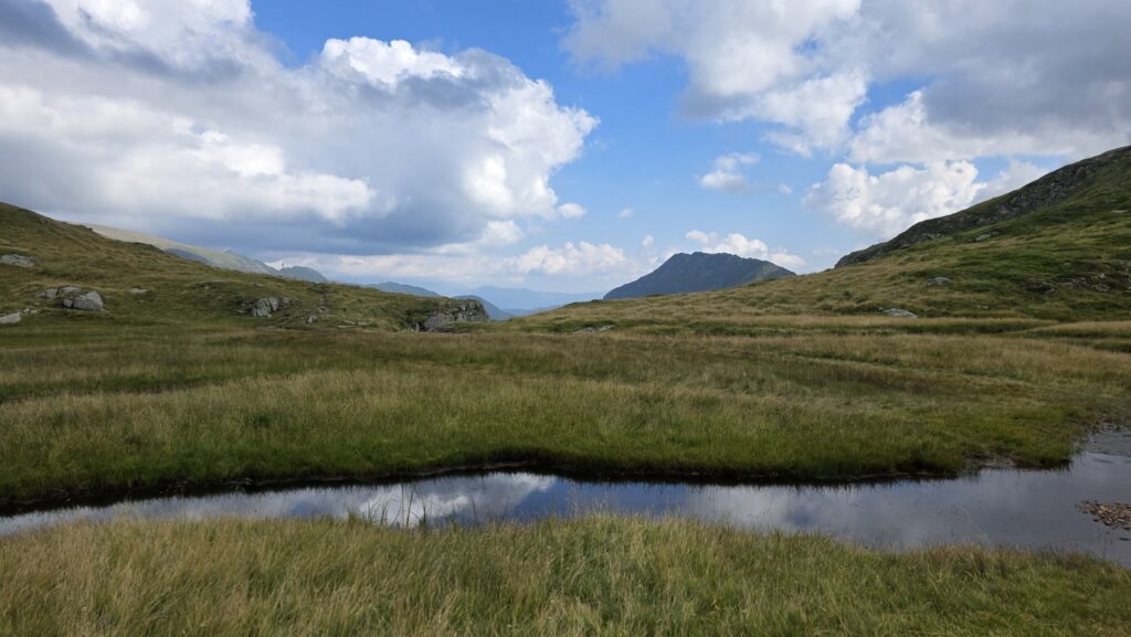
Then came the dramatic middle stretch: the Sierra Nevada in Spain, the Carpathians in Ukraine and Romania, and finally the scorching islands and coasts of Cyprus and European Turkey.
⚡ The rhythm of motion
Phase 2 was defined by movement. I spent nights in airports, slept in cars, and often landed in one country only to climb its highest point a few hours later.
Temperatures swung from single digits on Ben Nevis to over 40°C on Cyprus’s Mount Olympus. Storms hit on Mulhacén, humidity drowned the air on Hoverla, and the heat of the Turkish borderlands burned through everything that was left of my energy.
Yet somehow, the pace held. I crossed over 13,000 kilometres by every possible means of transport the expedition no longer just a climb, but a full test of endurance, focus, and adaptability.