Mount Korab – Albania / North Macedonia (2,764 m)
⛰️ Altitude: 2,764 m
📍 Coordinates: 41°47′25″ N, 20°32′48″ E
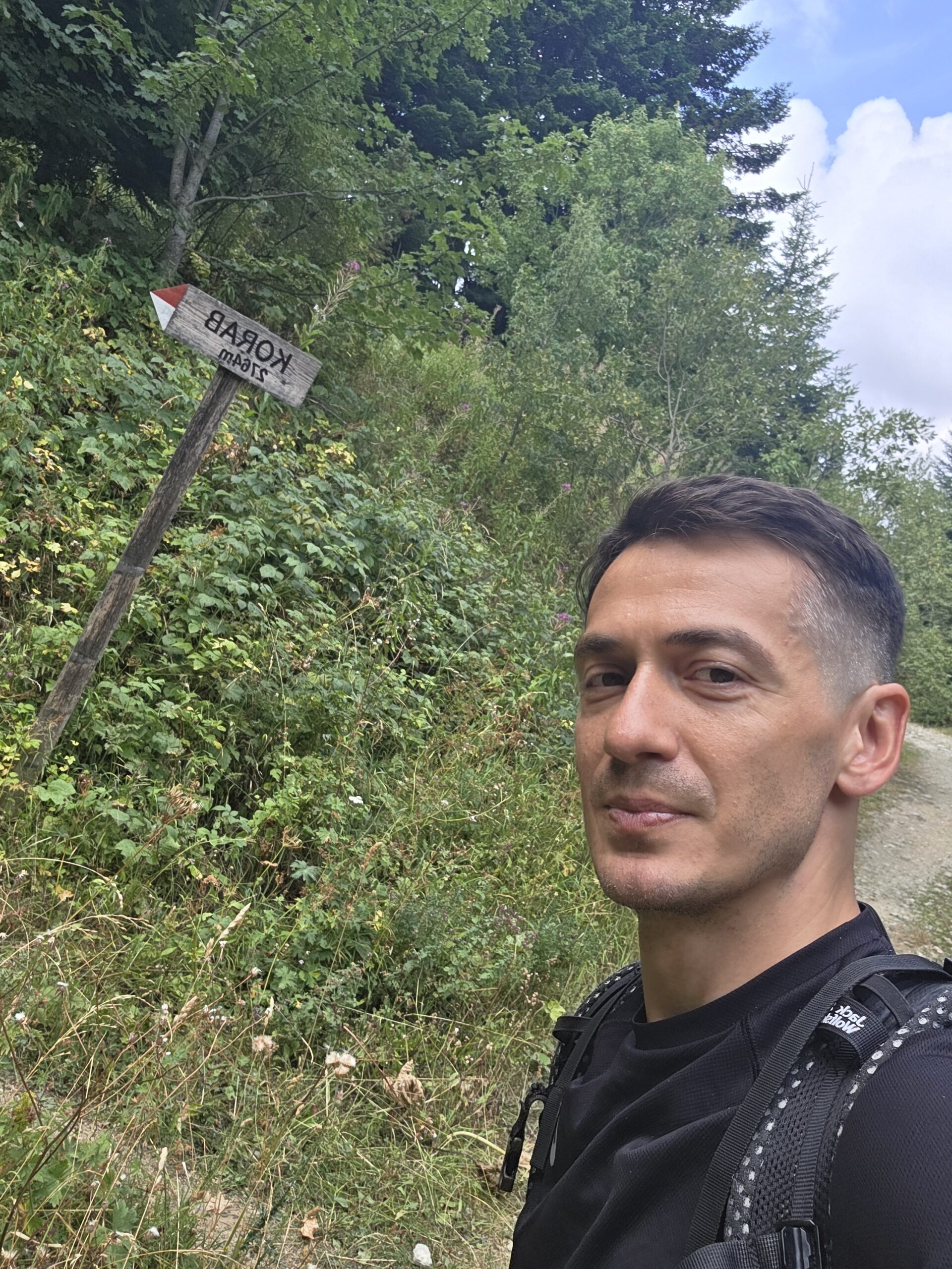
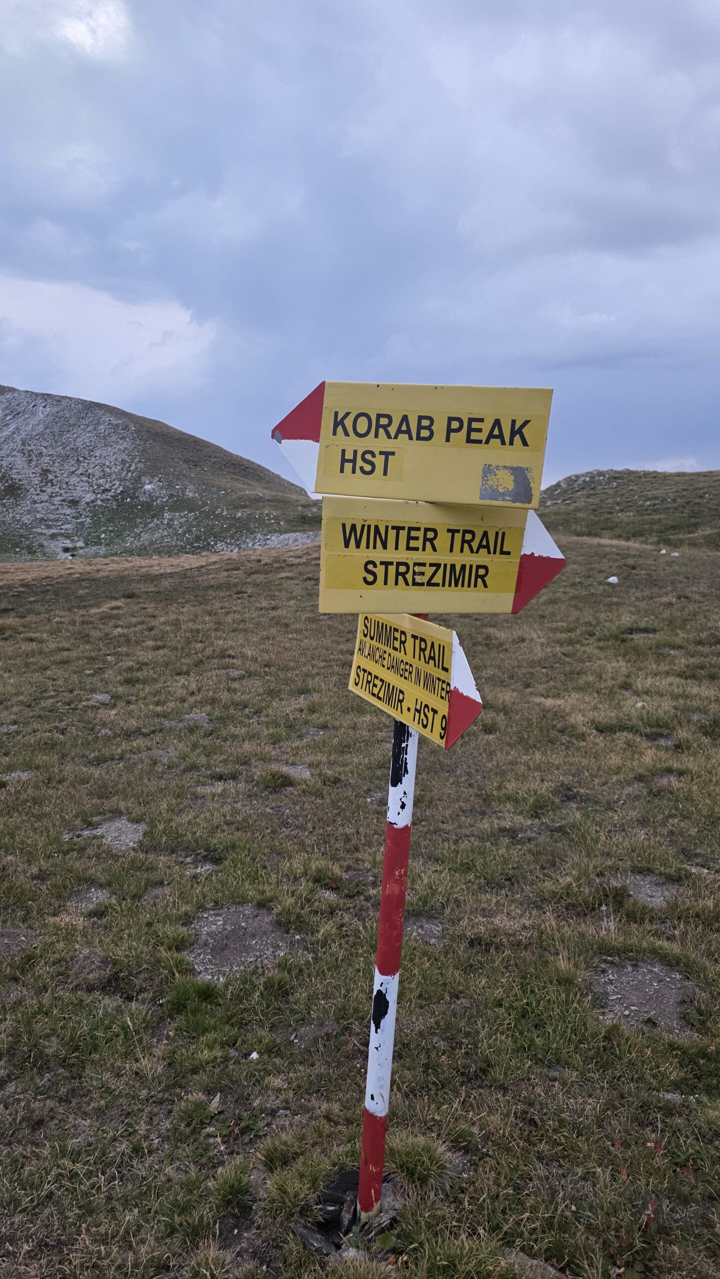
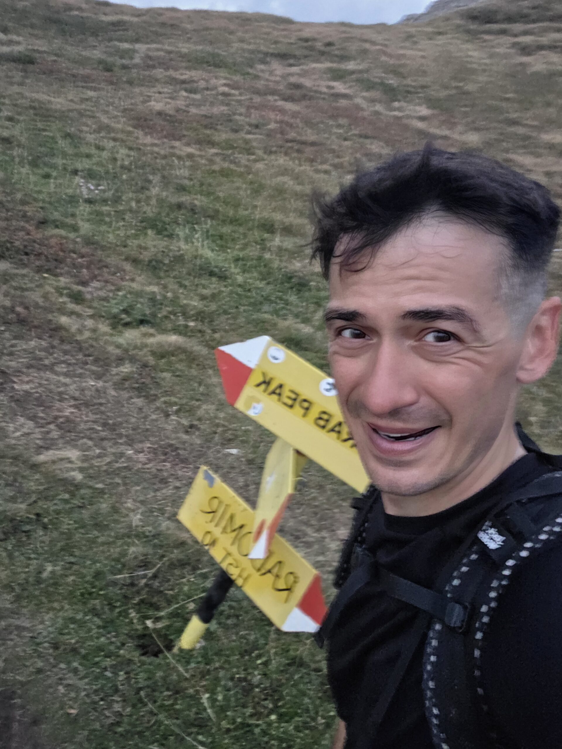
🗺️ Route: Strezimir Trailhead – Korab Summit – Return
🚗 Transport to region: 1,105 km total
• 233 km drive Mahya Dağı → Istanbul
• 712 km flight Istanbul → Pristina (Kosovo)
• 19 km bus Pristina Airport → Pristina
• 93 km bus Pristina → Skopje
• 23 km taxi Skopje Bus Station → Skopje Airport
• 141 km drive Skopje Airport → Strezimir Trailhead
💤 Accommodation: Hotel in Istanbul (15/16 Aug)
🌤️ Conditions: Warm, calm, clear evening with light wind
✈️ A chaotic path to the border mountains
After finishing Turkey’s Mahya Dağı, I drove back to Istanbul for a short rest one of the rare moments in a real bed. The following morning began in complete travel chaos: I missed my connection to Skopje, my luggage went on without me, and I found myself stranded with just a backpack and camera.
I quickly rebooked via Pristina, Kosovo, then crossed borders by a mix of buses and taxis, chasing my missing bag through half the Balkans. Finally, at Skopje Airport, I recovered all my gear and immediately drove toward Strezimir, the isolated trailhead for Mount Korab.
On arrival near the border area, I faced another unexpected problem access to the mountain requires a special permit issued by local authorities or military border control. I didn’t have one. It took a long conversation and a lot of convincing before one of the border guards finally agreed to let me through, understanding the nature of my project. It was a moment of pure luck and a huge relief, as without that kindness the climb would have been impossible.
By the time I reached the trailhead, the sun was already dipping low behind the ridges but there was no chance I’d wait for morning.
🥾 Fastest ascent of the phase
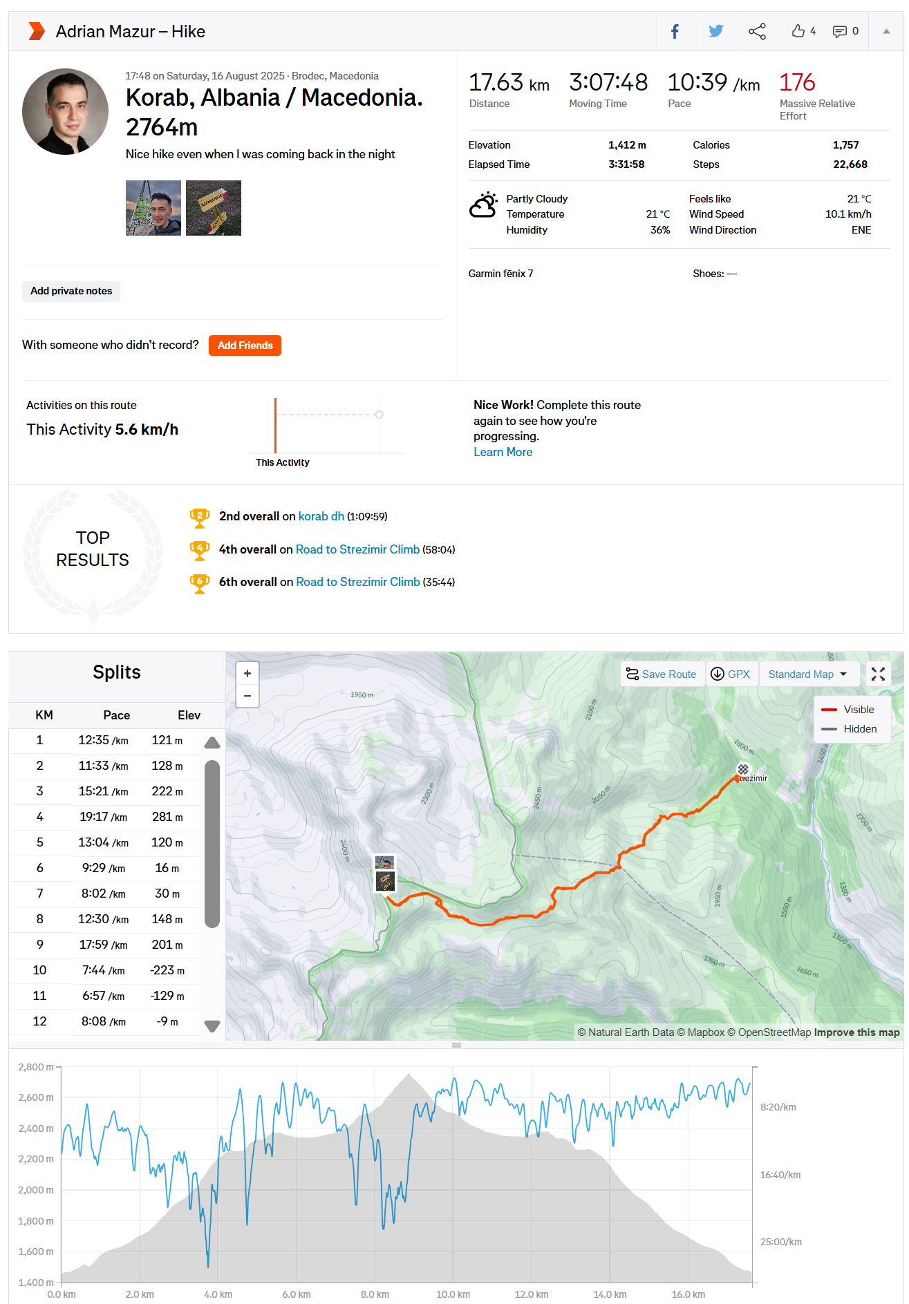
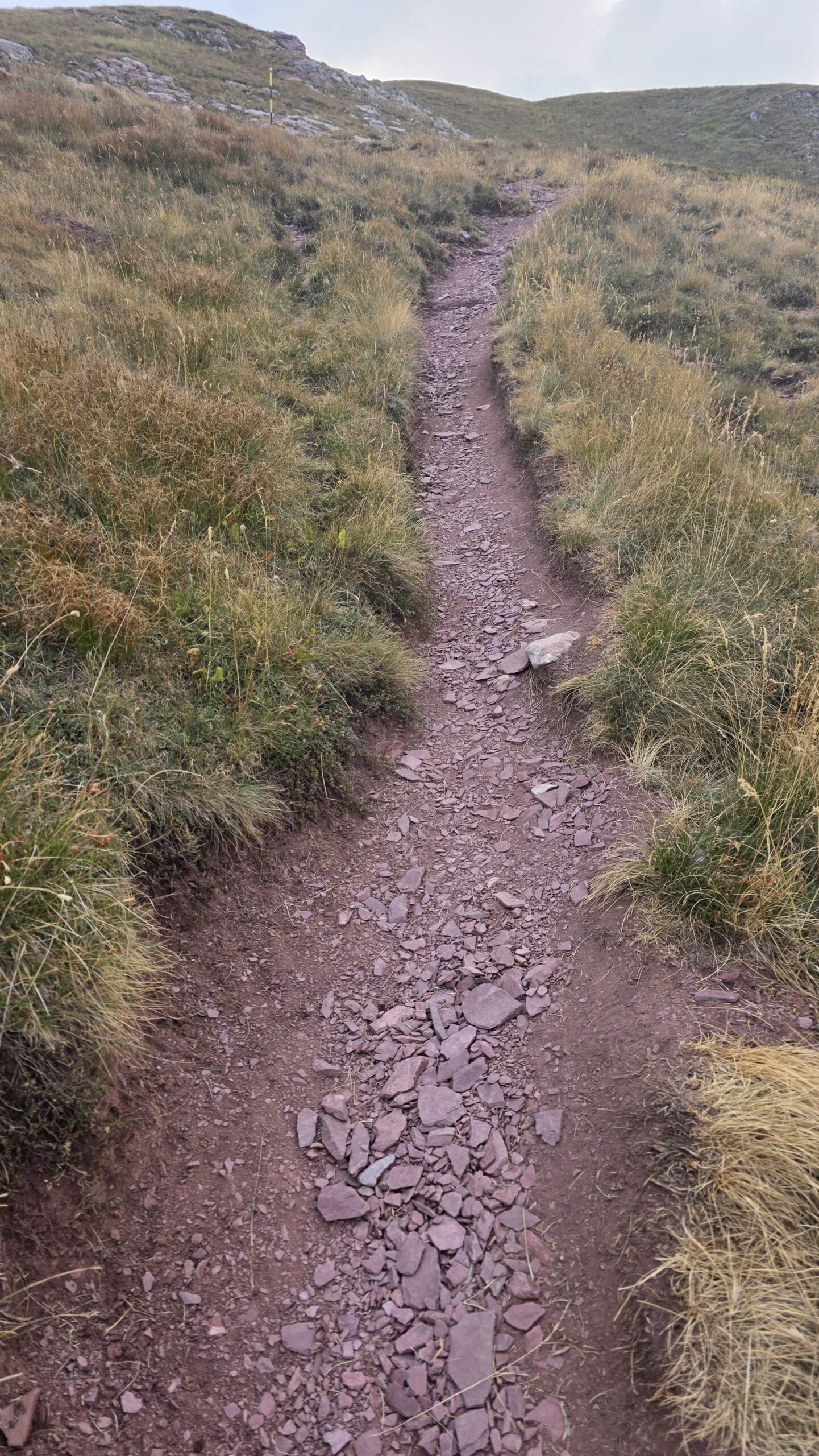
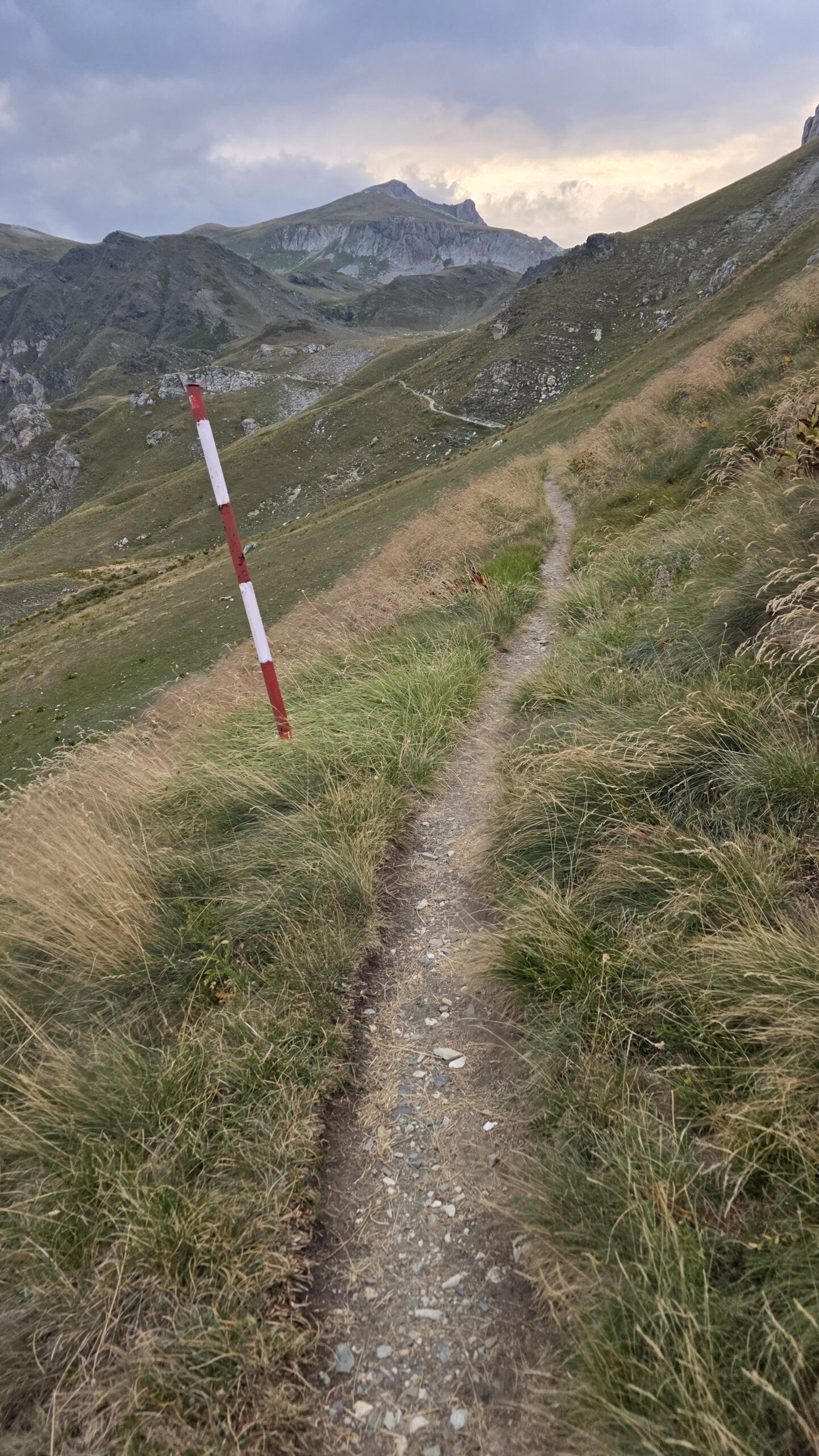
I started the climb at 17:58, moving fast up the steep valley carved between the border ridges of Albania and North Macedonia. The air was still warm from the day, and the trail was in perfect condition dry, quiet, and empty. My Strava record later showed an average pace of 5.6 km/h and 1,412 m of elevation gain in just over three hours one of my quickest ascents of the expedition.
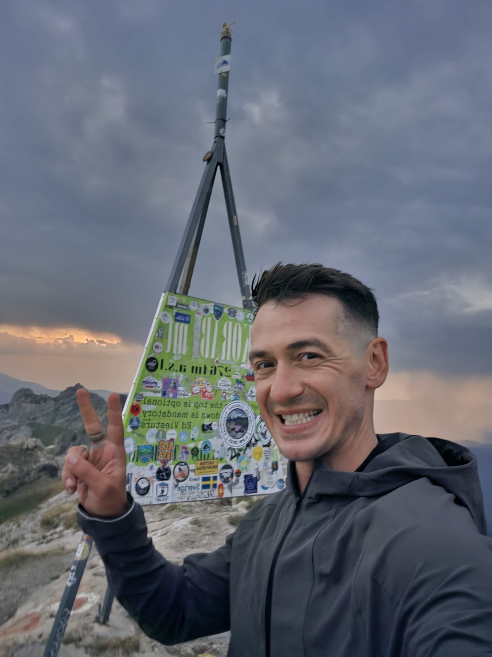
As I approached the ridge, the light turned golden and the wind dropped completely. At 19:53, I stood on the summit a lonely border marker and wide views stretching over two countries bathed in sunset light.
🌙 Descent in twilight
I stayed only a few minutes on top, then rushed back down as the sky turned from orange to deep blue. The last section of the trail was walked in the dark with a headlamp, reaching the car at 21:20. By then the temperature had dropped sharply, but the air was still and clear the perfect finish to a hectic 48 hours of travel and uncertainty.
💭 Reflection
Korab was the first summit of Phase 3 and it set the tone immediately: border crossings, improvised plans, and a race against light. Yet the moment I stepped on the ridge at sunset, it all made sense. Two flags, one mountain, and a reminder that every detour was part of the story.
📅 Date: 16 August 2025