
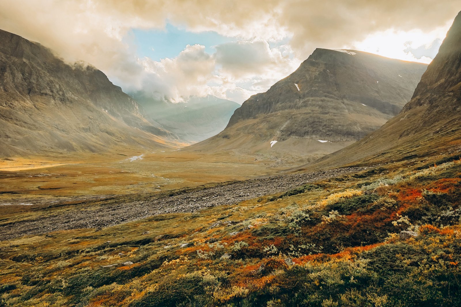
01 / The adventure, at a glance
Kebnekaise at a glance.
A long valley walk. A mountain that asks you to earn every metre. And an Arctic landscape that stays with you long after the climb.
Kebnekaise deserves more than a summit tick. The journey begins where the road ends in Nikkaluokta, continues past birch woodland and open water, and eventually climbs into a very different world of rock, snow and ice. Planning it well means understanding the approach, the summit day and the journey home as three separate parts of the trip.
I climbed here on 10 September 2025, at the end of my Crown of Europe expedition. My experience was intense, beautiful and, at times, uncomfortable. This guide combines that personal account with separately researched visitor information. Start with the planning sections; come back to my diary when you want to see what the day felt like.
- Highest point
- North Summit2,096.8 m · a technical alpine objective
- Usual hiking objective
- South SummitGlacier-covered; its height changes
- Western Route
- 18–20 km returnFrom the mountain station, not the roadhead
- Summit-day allowance
- 10–15 hoursConditions and group pace can extend this
- Total ascent
- About 1,800 mIncludes the descent and re-ascent at Kaffedalen
- Approach to the station
- 19 km one wayAllow a separate approach day
Figures describe different parts of the trip: STF route overview and Swedish Mountain Safety Council. Their summit-day distances differ slightly, so this guide uses a planning range rather than false precision.
The three decisions to make first
Which summit? The usual Western Route hike targets the South Summit. It does not automatically take you to Sweden’s highest point.
How much time? A four- or five-day mountain plan gives you room for approach, summit attempt, a weather margin and the return. That is a planning recommendation, not a guarantee of a summit window.
Independent or guided? Be honest about navigation, experience on steep snow or ice, fitness and your response to exposure. A guide is a sensible investment when any of those are uncertain.
A useful starting plan
For a first visit, build the trip around a base at Kebnekaise Mountain Station, one realistic summit attempt and at least one flexible day. Decide in advance what a successful trip looks like if the weather closes in. A valley walk, a good photograph and an unhurried journey home are much better outcomes than being committed to a summit you can no longer reach sensibly.
Use this guide to make your bookings and prepare your questions. Then speak to the people currently working on the mountain. Printed advice cannot tell you what last night’s freeze, this morning’s wind or a new rockfall has changed.

02 / Know which mountain you are climbing
North or South?
The distinction matters.
The rocky North Summit, Nordtoppen, is Sweden’s highest point at 2,096.8 metres. The South Summit, Sydtoppen, carries a glacier, so its elevation changes. Stockholm University measured the South Summit at 2,088.4 metres on 10 September 2025. That is a dated measurement, not a fixed height for your visit. Read the university’s measurement report.
| Objective | What it means for your trip | Planning approach |
|---|---|---|
| South Summit / Sydtoppen | The familiar summer summit objective reached by the Western Route. The final snow or ice crest is a separate decision from reaching the rock below it. | A demanding mountain day; independent only with suitable experience, equipment and conditions. |
| North Summit / Nordtoppen | The highest point in Sweden. Access involves exposed alpine terrain and is not a casual continuation of the hiking trail. | Discuss a dedicated objective with a certified mountain guide. |
Older guidebooks, article titles and photographs often say simply “Kebnekaise, Sweden’s highest mountain”. That describes the massif, but it can hide the difference between the two tops. When comparing guided trips, ask which summit is included. When comparing personal accounts, check which summit the writer actually describes.
The connecting ridge is exposed and technically demanding; the Mountain Safety Council’s current guidance recommends alpine experience, appropriate equipment and normally a certified guide. Do not treat another hiker continuing beyond the South Summit as evidence that it is suitable for you.
For readers collecting national high points
If your goal is the highest point of Sweden, say that explicitly when contacting a guide. “A Kebnekaise summit tour” and “an ascent of Nordtoppen” are not interchangeable bookings. Keep some flexibility around both the route and the outcome.

03 / Time it well
When to go to Kebnekaise.
The county’s Western Route information identifies July and August as the usual main hiking period. Summer is still a mountain season: snowfields can remain, the summit can be icy and conditions can change quickly. June and September require particular attention to snow, daylight and the operating dates of the services you need. County route information, published in 2020.
| Period | How to think about it | What to check before booking |
|---|---|---|
| Early summer | Do not use the opening of a hut as evidence that the summit route is in straightforward summer condition. | Snow cover, stream crossings, guidance from STF and transport start dates. |
| Main summer | The natural starting point for planning a first summer visit. Allow for other visitors and book the accommodation you want. | Available beds, guide places, boat operation and your footwear/traction plan. |
| September | Potentially beautiful autumn colour, but less room for casual assumptions about conditions or services. | Closing dates, a headtorch, spare warm layers and an exit plan before the last seasonal transport. |
| Winter / spring touring | A different kind of trip with different skills, equipment and hazards. This summer hiking itinerary is not a winter route plan. | A suitable guided or independently competent winter plan, avalanche information and seasonal logistics. |
Planning ahead for summer 2027
At the research check on 31 October 2026, STF listed Kebnekaise Mountain Station’s summer season as 18 June–19 September 2027. Nikkaluoktaexpressen published the same summer operating period. These are service dates, not a forecast of climbable conditions.
The boat page was still showing its completed 2026 season. Do not transfer last year’s boat departures to a 2027 itinerary. Check STF’s calendar · Check the bus operator · Check Enoks boat dates.
Choose flexibility before a perfect-looking date
It is tempting to choose a single summit day several months ahead. A better booking strategy is to choose a sensible season, make the surrounding logistics workable and protect a spare day. Avoid putting your return flight immediately after the one day you have allocated to the summit.
If your holiday dates are fixed, choose the plan that remains enjoyable without the top. If your whole reason for travelling is a specific summit, invest more time in the weather margin and guide arrangements rather than simply booking the shortest possible stay.
04 / From arrival to the roadhead
Getting to Nikkaluokta.
Kiruna → Nikkaluokta → Kebnekaise Mountain Station is the standard travel chain. The public road finishes in Nikkaluokta. There is no road to the mountain station: the walking approach is part of the trip, not a short transfer after parking. STF’s travel information.
1. Get yourself to Kiruna
Check rail availability and connections using SJ’s booking site. Search the actual dates you intend to travel rather than copying a train number from an old blog. For flights, use Kiruna Airport’s official travel information to connect the airport leg with the rest of your journey; the airport’s taxi page provides onward-travel contacts and explains local taxi pricing.
Before buying a cheap arrival ticket, compare the arrival time with the last realistic onward connection. An overnight stop in Kiruna may be a more comfortable plan than an expensive late transfer followed by an approach walk you begin tired. On the return, leave space for a delayed descent or a changed mountain plan.
2. Kiruna to Nikkaluokta
Nikkaluoktaexpressen is the seasonal bus operator. Use its live timetable and stop information; different travel dates and arrival points can change how the connection works. The operator says online booking is cheaper than buying on board, with an advertised 200 SEK onboard supplement per person at the review date. Online booking closes one hour before the relevant first departure. Current fares · Operator FAQ.
If you drive, make Nikkaluokta your roadhead. Confirm long-stay parking arrangements with Nikkaluokta Sarri and distinguish a parking ticket from permission to camp or stay in a vehicle. The roadhead is a useful place to eat, organise your pack and begin the walk with everything accessible.
3. Check the whole chain, not just the longest leg
- Can the train or flight actually connect with your chosen bus?
- Will you have enough time to buy food or fuel before leaving Kiruna?
- Does your approach-day arrival work with dinner, reception and any rental collection?
- Is there a fallback if your first connection is late?
- Have you protected the return transport instead of assuming the summit day will happen exactly as planned?
Keep booking references and essential contact details offline. An itinerary that exists only in an email inbox is not particularly useful when a connection changes and you cannot get online.
05 / The journey in
Nikkaluokta to the mountain station.
STF gives the approach as 19 kilometres one way, with an estimated 6–8 hours on foot. Treat that as an approach-day allowance, especially with an overnight pack. It is separate from the long summit outing that starts at the mountain station. STF’s access and route guide.
The boat across Láddjujávri
Enoks describes a 5.6-kilometre walk from Nikkaluokta to the lower landing, taking approximately 1½ hours. Its boat journey is about 6 kilometres and takes 20–30 minutes. Taking it replaces a section of walking; it does not deliver you directly to Kebnekaise Mountain Station. The remainder of the approach still has to be completed. Official boat information.
For 2026, Enoks listed an adult one-way fare of 500 SEK, and said ordinary individual passengers did not need to reserve in advance; larger groups have different arrangements. That is a historical planning reference, not a confirmed fare or departure schedule for your travel year. Check the operator’s page before relying on it.
Should you take the boat?
It makes sense if it fits your arrival time and you want to preserve energy for the mountain. Walking the entire valley also has its own appeal. Compare the walking time you save with any waiting time, and avoid making the whole day depend on catching one specific departure.
Make the approach an enjoyable day
Put rainwear, a warm layer, snacks and your map near the top of the pack rather than under your overnight gear. Set an unhurried rhythm before you become tired. Use the walk to notice how your boots and pack are behaving; fix a rubbing heel or a badly balanced load early.
Keep your summit equipment organised separately, so you can repack at the station without emptying every bag. When you arrive, the useful jobs are simple: settle in, eat, dry anything wet, confirm local conditions and work out what the following morning actually requires.
Do not count the approach as a “rest day”. It is a substantial walk. If it leaves you unusually tired, use your flexible day instead of pushing straight into a summit attempt because a printed itinerary says you should.
06 / Choose the right objective
The three route conversations.
| Option | Who it is for | The important limitation |
|---|---|---|
| Western Route → South Summit | Fit mountain walkers with the navigation, equipment and judgement required for the day; guided alternatives are available. | A hiking approach does not make the icy summit crest an ordinary walking surface. |
| Eastern Route | A technical route discussion with the current guide service, not a casual shortcut. | STF suspended guided Eastern Route ascents for summer 2026. |
| North Summit | People deliberately planning an alpine ascent of Sweden’s highest point. | Exposure, snow/ice conditions and technical ability require a separate assessment. |
The Eastern Route: do not book from an old description
STF’s more specific operating notice says all its guided South Summit tours in summer 2026 used the Western Route. Eastern Route guiding remained suspended because of concerns including rockfall, crevasses and changing snow/ice conditions. This takes priority over generic destination pages that still describe routine guided Eastern Route trips. Read STF’s operating notice.
For a later season, ask directly which route is operating and what is included. A route appearing on a map or in a previous year’s itinerary does not establish current suitability. Avoid paying for travel on the assumption that an old route description is a booking promise.
What a guide adds
A good booking conversation should cover the intended summit, group size, expected pace, equipment fit, current route choice and what happens if the weather prevents an ascent. Ask how decisions are made on the day. Also ask when and where you must meet, because an approach walk and a rental fitting are not things to squeeze in at the last minute.
Guiding does not guarantee the top. It should make the decision process clearer. If you would struggle to judge steep icy ground, find your way in poor visibility or decide when to stop, those are useful reasons to seek professional support rather than things to hide during the booking process.
07 / Understand the shape of the day
The Western Route,
stage by stage.
The route is easier to understand as a sequence of effort and decisions than as one line pointing uphill. The following is an overview for planning. Follow current local route advice and proper mapping on the mountain.
Leave the mountain station
The Western Route begins at Kebnekaise Mountain Station. Establish a pace you can maintain on the return as well as the ascent.
Climb into Kitteldalen
The approach becomes steeper and rockier. Use the current marked route and bridges; do not assume every worn line is the line you should follow.
Reach Vierranvárri
You gain the shoulder/crest around Vierranvárri before losing height into Kaffedalen. This is a useful point to reassess your group, timing and the weather.
Descend into Kaffedalen
This loss of height is part of the normal route. Remember that the return requires another climb when you are already tired.
Climb toward the summit shelter
Continue through high, rocky terrain toward the shelter and the ground below the summit ice. Arrival here does not settle the final summit decision.
Assess the summit crest, then return
Snow, hard ice, exposure, equipment and competence determine whether to continue. Retrace the route with enough energy and time for the whole descent.
Overview based on the county’s Western Route leaflet. It is a 2020 publication: use it for route shape and mapping context, not old summit elevations or an assertion of today’s conditions.
Why the descent deserves its own plan
By the time you turn around, the views may feel familiar, but your concentration and legs may be very different. Do not mentally finish the day at the summit photograph. Keep food available, watch your group’s pace and remember the extra rise after Kaffedalen. Decide your turnaround strategy before the excitement of the ascent takes over.
STF says crampons are required for the South Summit when its snow cover has melted; the final crest is steep, narrow and exposed. Ordinary urban ice grips are not a substitute for appropriate mountaineering equipment. Get a current assessment and compatible equipment rather than making a last-minute decision because others are continuing. STF’s summit-equipment advice.

08 / Give the trip room to breathe
Three ways to plan your days.
These are suggested structures, not operator itineraries. Travel connections, opening dates, your experience and the weather may require extra time. The most useful day in the plan is often the flexible one.
The focused Kebnekaise trip
- Approach: travel to Nikkaluokta, walk to the mountain station and settle in.
- First possible summit day: make the attempt only if the conditions and group are ready.
- Flexible day: a second weather opportunity, rest or a suitable local walk.
- Walk out: return to Nikkaluokta with room for the onward connection.
This can work well when you want to concentrate on the mountain without making every day feel hurried. It still needs travel time before and after. If the first day starts with a long overnight journey, consider sleeping in Kiruna or Nikkaluokta before beginning the approach.
The mountain-and-landscape visit
- Approach and organise your base.
- Use the first suitable day for the main objective.
- Keep a second possible weather window available.
- Explore a locally suitable valley route, take photographs or rest.
- Walk out and continue your trip.
The extra day is useful if photography and the surrounding landscape matter as much as the summit. Keep it genuinely flexible: booking every hour of the spare day removes the thing that made it valuable.
Combine it with Kungsleden
The Abisko–Nikkaluokta route information from STF is the starting point for a longer hut-to-hut journey. Plan the trek, accommodation or tent logistics and food independently, then add a separate Kebnekaise opportunity and weather margin. A mountain summit is an optional objective inside the trek, not a compulsory stage regardless of conditions.
Can you do it in one day from Nikkaluokta?
Combining both approach legs with the summit route makes a very different proposition from a station-based day. The published distances imply roughly 56–58 kilometres of walking before individual route variation. My own diary recorded a 59-kilometre outing. That is context for an expedition day, not the itinerary I recommend to a first-time visitor.
Compressing the trip removes recovery, local preparation and weather flexibility. If you have only a single day, choose a journey you can enjoy without gambling on the summit: part of the approach, the lake area or another route agreed locally. A shorter holiday does not make the mountain a shorter day.
The booking order I would use
- Choose the summit objective and decide whether guiding is needed.
- Check the accommodation and guide availability for a flexible block of dates.
- Match that block to the actual bus, rail or flight connections.
- Confirm equipment collection and meals.
- Protect a safe return and some recovery before driving a long distance.
09 / Build a comfortable base
Where to stay.
Kebnekaise Mountain Station
STF Kebnekaise Mountain Station offers dormitory and room accommodation, food, a self-catering kitchen, equipment services and a sauna. Toilets and showers are shared rather than private in-room facilities. It is cash-free. Book the room type and any meals you want, and check precisely what your rate includes instead of assuming every booking comes with the same services.
A bed at the station is a practical choice if you want to keep the approach pack simpler and focus on the mountain. Think about the stay around the climb: space to dry kit, food available when you return and a comfortable place to spend a weather day all have value.
Your own tent near the station
STF’s camping service package covers access to facilities including toilets, showers, sauna, kitchen, drying room and charging. The advertised service period is 24 hours from arrival. The page instructs campers to keep tents at least 150 metres from the nearest building and to collect the service wristband from reception.
A tent can give you independence, but it also adds equipment to carry and a different recovery environment. Pitch for the weather, not just the photograph. Keep sleeping equipment dry and organise your cooking and food so a wet evening does not become an avoidable problem.
Nikkaluokta and the lake
Nikkaluokta Sarri is useful for roadhead arrangements and accommodation enquiries. Enoks cabins by Láddjujávri offer another way to break up the valley journey. A bed by the road or lake is not a replacement for the station-based start: check exactly how much walking still lies between your accommodation and the summit route.
Camping responsibilities
Sweden’s public-access tradition comes with responsibilities and local exceptions. The Swedish EPA’s general guidance describes short stays of a night or two, considerate site selection, avoiding private residential areas and leaving no rubbish. Protected areas can have additional rules; public access does not extend to driving or parking a vehicle wherever you wish. Read the official camping guidance.
For a mountain-station stay, ask the station what applies to the exact spot you intend to use. General public-access advice and the use of a commercial station’s facilities are different questions.
10 / Spend where it improves the trip
Costs, bookings
and your own budget.
The summit itself is not the only expense. The important comparison is between complete trips: transport to the roadhead, nights, food, optional boat crossings, equipment, guiding and a spare-day allowance. A cheaper room with an awkward connection can easily create an extra night elsewhere.
| Item | Verified reference | How to use it |
|---|---|---|
| Láddjujávri boat | 500 SEK / adult / one way, published for 2026. | A return pair of crossings was 1,000 SEK at that fare. Confirm the fare for your season. |
| Hiking boots, first rental day | 280 SEK non-member / 238 SEK STF member, summer 2026. | Check fit, availability and subsequent-day charges. |
| Crampons, first rental day | 220 SEK non-member / 187 SEK STF member, summer 2026. | Equipment suitability and competence matter more than the rental price. |
| One pair of telescopic poles, first day | 185 SEK non-member / 158 SEK STF member, summer 2026. | The PDF lists different rates for additional days and a week. |
| Bed, camping services, guiding and transport | Use live quotes for your dates. | Do not build next year’s budget around an old blog’s “from” price. |
Dated references: Enoks boat page and STF summer 2026 rental price sheet. These are examples for comparison, not a 2027 price promise. Equipment access can depend on experience and the item concerned.
A budget you can actually adjust
Enter your own quotes below. All amounts are in SEK per person; divide any shared-room, taxi or group-guide cost before entering it. Include every travel leg in transport. The boat fare starts with the published 2026 reference and is editable. A blank field is treated as zero, so the result is only as complete as the figures you enter.
Where a little extra spending can help
- A flexible night: compare its cost with the cost of travelling all this way without a usable weather opportunity.
- Appropriate guiding: a useful choice when it closes an experience or judgement gap.
- Footwear that fits: borrowed or rented gear needs fitting and testing, not just a low price.
- A recovery stop: budget for enough rest before a long drive or a tightly timed return.
Use the bus operator’s fare page, STF accommodation and STF guiding information to replace assumptions with real numbers. Save the cancellation conditions alongside the prices.
11 / Pack for the day you might get
A practical packing checklist.
Start with the appropriate STF summer summit and overnight packing lists and your guide’s requirements. The list below is a planning checklist, not a certification that your equipment or skills match the conditions. Technical equipment must fit the route and the person using it.
The equipment conversation before a summit attempt
Check the exact footwear and equipment requirements with whoever will guide you. STF’s South Summit activity page specifies rigid, supportive hiking boots for its tour and says the guide can refuse unsuitable equipment. Do not arrive expecting a trainer, traction device or boot to be accepted simply because a stranger used it on a different day. Read the tour requirements.
For rental availability, contact STF’s shop and guide office before committing to a plan. Ask about sizes, compatibility, collection time and what you are permitted to rent. Specialist climbing equipment is not necessarily available to every visitor on the same basis as a pair of walking poles.
Keep the critical things usable
A warm layer is more valuable when it stays dry. A headtorch is more valuable when its battery has not been used for hours of video. A map is more valuable when you have already worked out what its contours and symbols mean. Pack with access and redundancy in mind, not just a photograph of an impressively small backpack.
If you are camping, add the complete overnight system: tent, sleeping bag, mat, cooking arrangement, food storage and the ability to stay comfortable in the conditions you are actually expecting. Do a full pack test before travelling. A summit checklist and a camping checklist serve different purposes; one does not replace the other.
12 / The part worth taking seriously
Weather, judgement
and a safe return.
Do not assess summit conditions from a photograph of a sunny lake. Terrain and height changes can produce very different wind, temperature and visibility. Start with SMHI’s forecasts and warnings, then compare them with local information and the high-elevation observations at Kebnetjåkka. The latter is an observation point, not a promise of conditions everywhere on your route.
Make a return plan before you leave
Choose an early start with enough allowance for the entire outing. Leave your intended route, party details and expected return with someone. Reassess if weather worsens, pace drops, equipment is unsuitable or anyone is becoming too tired. The summit photograph never needs to be the last decision of the day.
Five questions to ask at the guide office
- What changed on the route in the last day or two?
- What are the snow and ice conditions on the final crest?
- Which crossings or sections currently need particular care?
- Does the forecast leave a realistic window for our group’s pace?
- Which lower-level alternative is sensible if we do not go up?
Water crossings, snow and route-finding
Read STF’s mountain-safety guidance on navigation and stream crossings before the trip. Do not improvise a crossing you cannot assess or follow people away from a marked route simply because they look confident. Avoid sliding down snowfields: stopping before rocks or other hazards may be impossible. Snow can also hide terrain that looks obvious later in the season.
In my own outing, straying from the route created one of the most uncomfortable moments of the day. That experience is a reason to plan more carefully, not a route variation to copy. Stay within the conditions you can manage, and ask for help before a small uncertainty becomes a commitment.
Emergency help and communication
In a genuine emergency in Sweden, call 112 and explain that you need mountain rescue. Give your location, what happened, the number of people and the conditions. SOS Alarm explains that emergency roaming can sometimes use another network, but 112 cannot work where no mobile operator has coverage. A phone showing no ordinary service is not the same thing as a guaranteed emergency connection. SOS Alarm’s official guidance.
Save coordinates and essential contacts offline. If a remote trip calls for satellite communication, arrange a suitable device and learn its emergency procedure beforehand. Do not assume that a standard mobile app provides satellite communication. Read the Mountain Safety Council’s rescue information before you need it.
For non-emergency numbers and the distinction between services, use Sweden’s official crisis-information directory. Check your own travel-insurance wording for the activities you intend to do; membership or an activity policy should not be assumed to cover every part of your independent trip.
Winter is a separate project
Winter or spring touring needs an appropriate route assessment, competence and equipment. Use the Swedish avalanche forecast service where seasonal coverage applies, and do not interpret an absent bulletin as evidence of absent avalanche risk. This guide’s walking times and summer route outline are not a ski-tour itinerary.
13 / Know where the map ends and judgement begins
Maps and navigation.
Use the map below for geographical context. The marker identifies Kebnekaise Mountain Station using STF’s published coordinates. It is not a plotted summit route, a GPX file or a statement that any visible line is currently passable.
Open a larger map ↗ · Map data © OpenStreetMap contributors. Overview only; use appropriate topographical mapping and current local advice for the climb.
Lantmäteriet’s Min Karta can download selected topographical map areas for offline use. Its Android guidance notes that the downloadable map layer provides information down to 1:50,000, rather than every detail available at the closest online zoom. Download the area before travelling and test it without a connection. Official offline-map instructions.
STF also lists paper and digital options in its mapping guidance. Combine appropriate mapping with the ability to use it. A saved track can be a useful reference, but it does not know whether snow bridges, streams or a summit crest have changed.
A map preparation routine
- Trace the roadhead-to-station approach separately from the summit day.
- Locate the major rise and descent around Vierranvárri and Kaffedalen.
- Identify the accommodation and any places where you expect to obtain local information.
- Download a wider area than the narrow trail line, then verify that it really opens offline.
- Protect the paper map and keep your compass accessible.
- Write a clear route and check-in plan for the person expecting your return.
14 / Make the spare day part of the adventure
Beyond the summit.
A flexible day does not have to be an empty day. There are other ways to experience the landscape, but choose them against the conditions and your remaining energy. “Not the summit” does not automatically mean sheltered, easy or suitable during severe weather.
Tarfala: a different mountain atmosphere
STF describes Tarfala as a high alpine valley of glaciers and blue-green water. Its cabin is around 8 kilometres from Kebnekaise Mountain Station one way, so a return day is a substantial outing of roughly 16 kilometres, not a short stroll. The cabin’s published 2027 summer dates were 2 July–12 September at the research check, different from the main station’s season. Tarfala information and opening dates.
Keep glacier viewing separate from glacier travel. STF advises observing from a distance without the relevant experience, or going with one of the station’s guides. Do not move onto ice, beneath unstable margins or into other hazardous ground just to improve a photograph.
Lower-level options from the station
STF’s local suggestions include the giant’s kettles, around 6 kilometres return, and Silverfallet, around 11 kilometres return. It also describes Skartaklacken as a roughly 10-kilometre return outing. These are starting points for a conversation with staff, not interchangeable bad-weather routes. Read the local route suggestions.
If the weather is genuinely poor, a short walk near your accommodation, a proper meal, drying equipment and reorganising the next day may be the better choice. The spare day is there to support the trip rather than create a second exhausting objective.
Travel thoughtfully in Sápmi
This is also a living cultural landscape shaped by Sámi presence and reindeer husbandry. The Swedish EPA asks mountain visitors to minimise damage, use boardwalks in wet terrain and give reindeer space. If animals move away because of you, you are too close. Official mountain-environment guidance.
Keep dogs leashed in reindeer-herding areas and check additional local restrictions. Do not treat a dog-friendly room or bus ticket as proof that every mountain route is suitable for a dog. Official advice on dogs in nature.

15 / Bring back more than a summit selfie
Photographing the journey.
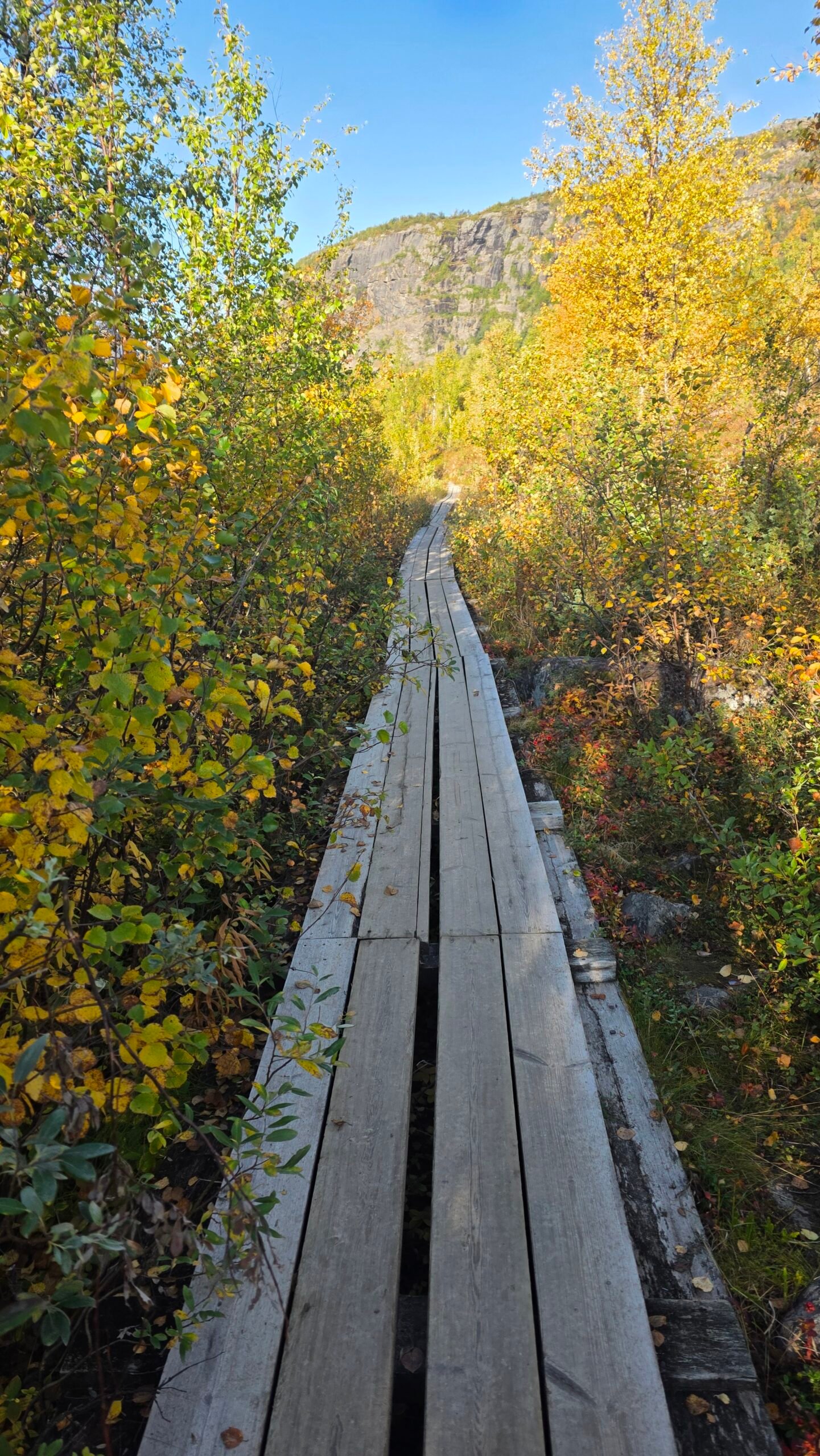
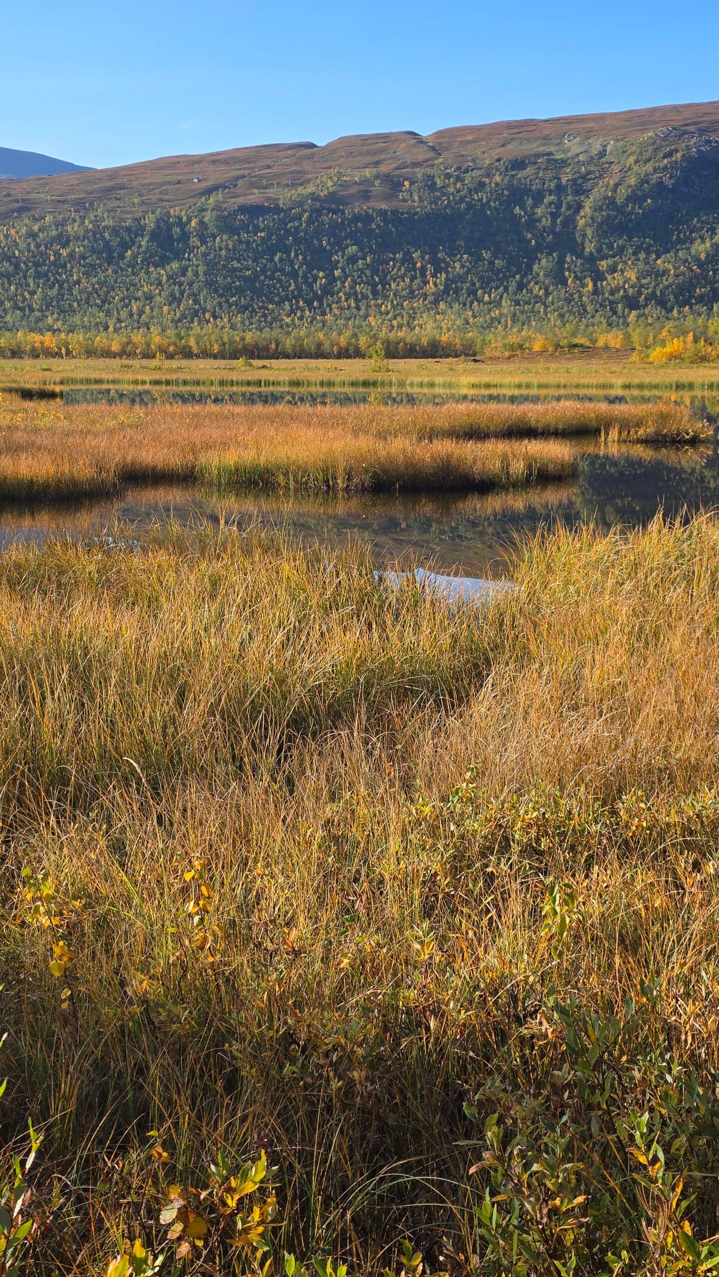
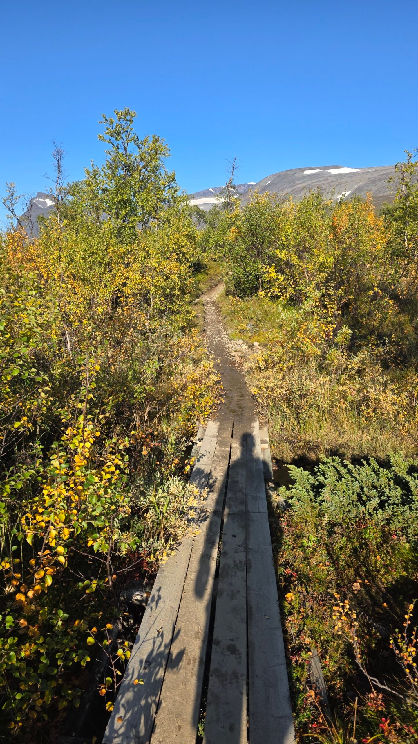
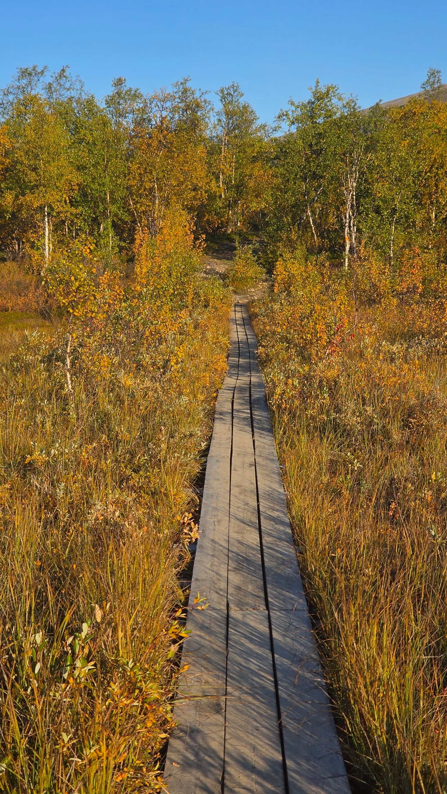
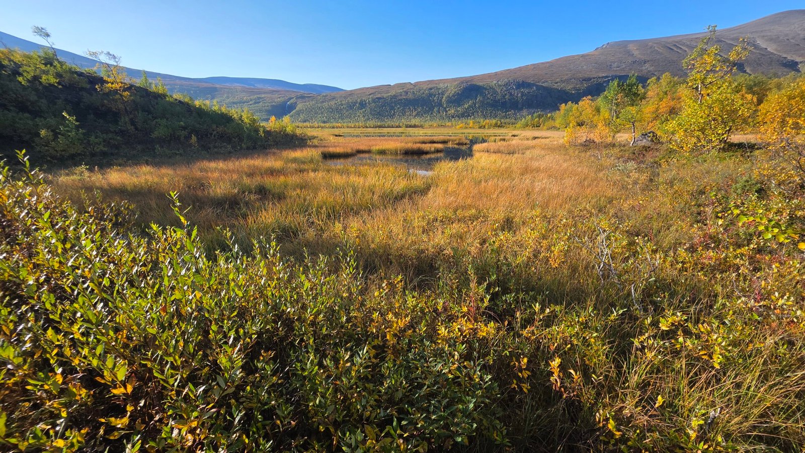
Kebnekaise gives you several different visual stories in one trip: the approach through birch woodland, water and reflected mountains, the transition into bare ground, then the textures of snow and rock. A useful photo plan follows that progression instead of saving every frame for the highest point.
Five photographs worth looking for
- The beginning: a packed bag, a trail sign or the first boardwalk. Give the eventual mountain photograph some context.
- A sense of scale: a small walker in a broad landscape, without asking anyone to stand somewhere exposed.
- The changing ground: woodland, stones, water, snow and the equipment the day actually requires.
- A human moment: a rest stop or a quiet look across the valley. The most memorable photograph need not involve a pose.
- The way out: the light, your tired boots or the last view back. A journey has an ending as well as a high point.
Keep one camera or phone accessible, with a simple way to protect it from water. Build stops into the plan rather than repeatedly interrupting a group at awkward places. If you use a larger camera, practise operating it with gloves before travel and think about whether changing a lens is worth exposing the equipment.
A compact set of good photographs is more useful than an overloaded pack and a depleted phone battery. Keep navigation and emergency power separate from the urge to film everything. On a difficult section, put the camera away; a photograph should record the journey, not determine a dangerous route choice.
Let the photograph tell the truth
Caption photographs with the place and the day you actually visited. A picture from the South Summit does not document a North Summit ascent. A dry trail or blue sky in September 2025 says nothing certain about the conditions another reader will meet.
16 / My expedition diary
The last mountain.
10 September 2025.
An edited account from my original Crown of Europe diary. The times and distance belong to that expedition outing; they are not the station-based itinerary recommended above.
After the Tatras, I took one last deep breath and turned north. The final chapter. Two days of flights, transfers and Arctic roads brought me to Nikkaluokta, a settlement framed by tundra and birch forest. I had slept for only two hours in the car before setting out.
At 06:19, I started walking toward the last mountain of my expedition. The morning was cold and still. The distance between the logistics of getting there and the quiet of the valley felt enormous.


Finding my way back to the route
I took the western approach. At one point I ended up off-route among melted glacier patches, unstable snow bridges and steep rocky ground. Alone, tired and a long way from help, I became sharply aware of how exposed I was. I felt fear, then concentrated on finding my way back to the main trail.
That part of the day is important to tell honestly. It is not an adventurous shortcut to recommend. In a practical guide, the lesson is to organise the trip so you have more rest, more margin and better information before a difficult decision appears.
Back on the proper route, the day settled into a rhythm: breath, steps, stones, snow. I met other hikers who were surprised by how quickly I was moving. For me, the mountain carried the weight of everything that had come before it.
“It wasn’t triumph that came first. It was disbelief, and a strange, quiet regret that it was ending.”
14:20: the summit moment
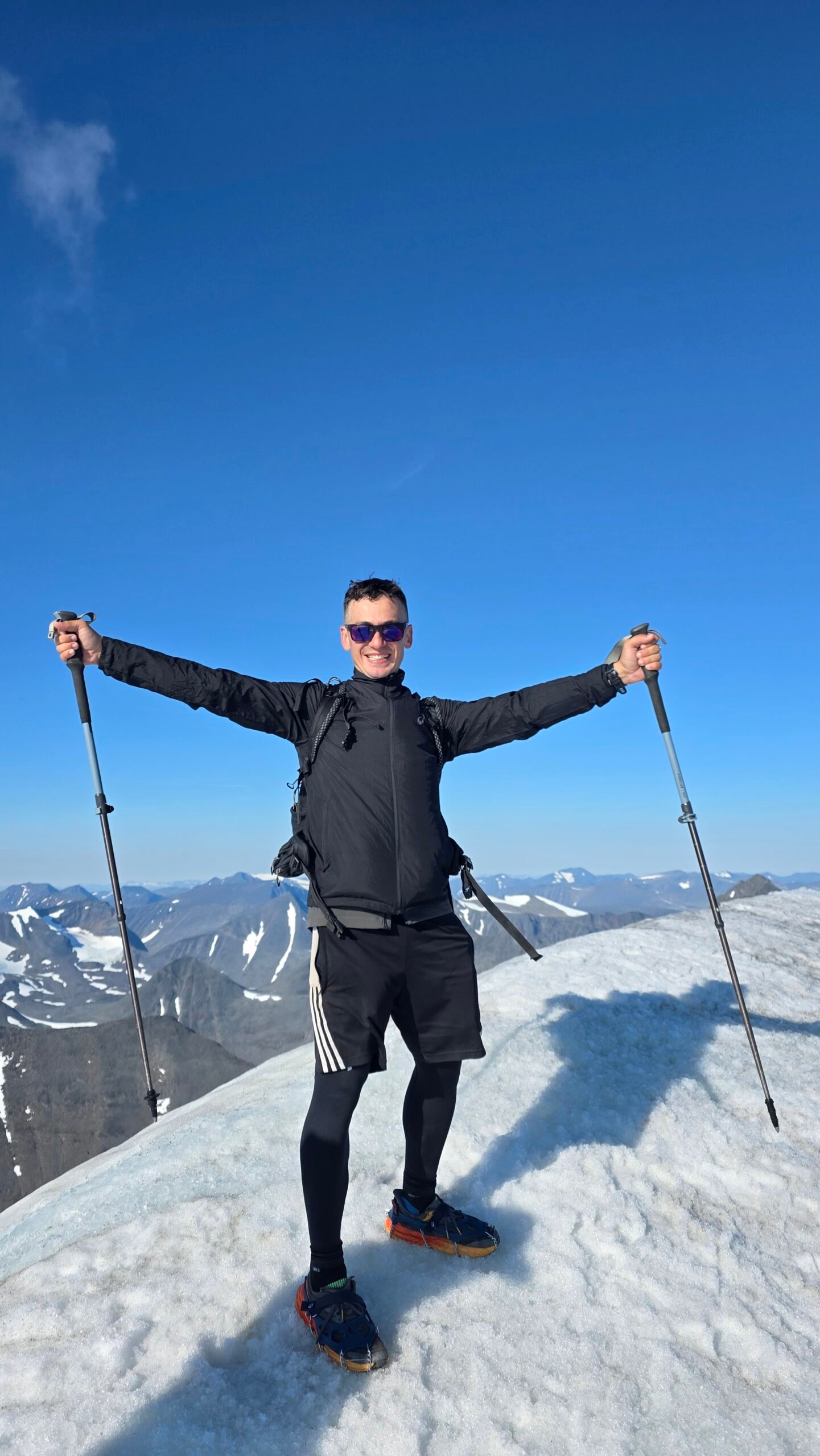
The last ridge appeared just after 14:00, ice and stone in a low northern sun. My diary records reaching the top at 14:20. What I remember most clearly is not a loud celebration. It was the sense that the forward motion of the expedition had suddenly become still.
After sixty-one days of borders, summits and travel, I was not sure how to feel about stopping. Pride was there, but so were relief and an unexpected sadness. I looked across the white ridges and let the silence sink in.

The return was still part of the climb
The descent felt endless. My recorded outing total was 59 kilometres. At 20:45, I reached the car, hungry, thirsty and exhausted. The trip had not finished simply because I had stood on the mountain.
I began the drive toward Kiruna and fell asleep during a charging stop. That belongs in the account as a warning about fatigue, not a model for an efficient itinerary. A recovery night and a less compressed plan are much better things to build into somebody else’s visit.
What the mountain left me with
The strongest memories are not all summit memories: the colours below the snow, the space in the valley, the uncomfortable moment when I understood my own exposure, and the quiet after weeks of effort. Kebnekaise was where the journey came full circle.
For your own trip, I would take the landscape seriously enough to give it more time. Go with a plan, leave room to change it, and let the whole journey matter. The mountain can be the centre of the adventure without being a deadline.
17 / The questions that change a plan
Kebnekaise questions,
answered.
Can I climb Kebnekaise without a guide?
An independent Western Route trip can be appropriate for an experienced, suitably equipped mountain walker in suitable conditions. That is not a blanket recommendation for a beginner. The final summit ice and the North Summit add different questions. If you cannot assess those confidently, discuss guiding with STF before you travel.
Is the South Summit Sweden’s highest point?
No. The rocky North Summit is higher. The South Summit’s glacier changes height; the 2,088.4 m figure in this guide is specifically Stockholm University’s September 2025 measurement. Measurement source.
Why do different guides say 18 km or 20 km?
The official route summaries use slightly different distances for the station-based return outing. Use approximately 18–20 km as a planning range, then consult the current route and mapping. Neither number includes the 19 km approach from Nikkaluokta.
Are ordinary trainers or microspikes enough?
Do not make that assumption. Footwear, crampon compatibility, the surface and your ability to use the equipment matter. The final crest can be steep and icy. Obtain current guidance and check the requirements of any tour you book; lightweight urban grips do not establish suitability.
Can I drive to Kebnekaise Mountain Station?
No public road reaches it. Nikkaluokta is the roadhead; the standard approach from there is on foot, with seasonal services that may shorten parts of the journey. Check exactly where a transport option finishes.
Do I have to take the boat?
No. It is an optional way to replace part of the valley walk. Check the current season, fare and departures directly with Enoks and be able to plan the remaining walk.
How many days should I allow?
The suggested starting plan here uses four mountain days, plus travel before and after. Five gives more room for rest and another local walk. Neither guarantees a weather window. A single-day push from the roadhead is a very different undertaking.
Can I camp and still use station facilities?
STF offers a camping service package. Check the current fee, included facilities and the local pitching instructions rather than assuming camping gives free use of everything. Camping service information.
Can children or dogs come?
Assess the specific party, experience, conditions and route with local staff or a guide. The summit day is not a generic family walk. Dogs also involve leash rules in reindeer country and route-specific practical concerns; a pet-friendly room does not settle those questions.
What if the summit weather is bad?
Use your flexible day, choose a locally suitable alternative or stay at your base. A spare day is not an obligation to find another exposed objective. Ask staff what is appropriate for the actual forecast.
Will my phone work for maps and emergencies?
Download and test maps offline. Do not rely on mobile coverage. Emergency roaming sometimes uses another network, but no network coverage means no mobile call to 112. Official explanation from SOS Alarm.
Is this guide a live conditions report?
No. Research was checked on 31 October 2026. Opening dates and prices are labelled with their season; the diary describes September 2025. Use the official links below and the mountain station for conditions near your departure.
18 / Your planning desk
Useful links.
Go straight to the source.
These links lead to public authorities, the mountain station and the relevant transport or accommodation operators. Use the original page for changes, booking conditions and seasonal notices. Swedish-language pages can contain more specific local information than a generic destination summary.
What was checked, and what remains variable
The guide distinguishes fixed North Summit height from a dated South Summit measurement; route distances from approach distances; 2026 price references from published 2027 operating dates; and a historical expedition account from advice for a new visitor.
Live weather, route suitability, equipment fit, availability and the services operating on your chosen dates must be checked again. If an official operating notice conflicts with an older descriptive page, contact the operator before relying on the older wording.
Route overview and summit equipment
Current safety advice and Eastern Route status
Route schematic; dated summit heights are historical
North/South distinction and dated South Summit elevation
Accommodation, facilities, contacts and season dates
Guiding, equipment requirements and route changes
Kiruna–Nikkaluokta transport
Live fare links; check the year on the PDF
Stops, practical arrangements and booking questions
Seasonal timetable, walking distance and fares
A different place to break the approach
Roadhead facilities, parking and local activities
Check dates, connections and train availability
Official airport onward-travel information
Facilities, service fee and station-area camping
Equipment availability and booking contact
Dated cost examples, including member/non-member rates
Choose the summer summit and camping lists
Navigation, streams and mountain judgement
Forecasts, warnings and observations
High-elevation observations linked by the Safety Council
Understanding mountain-weather variability
Check seasonal publication and area coverage
Download and test topographical maps before leaving
Paper and digital mapping options
Tarfala access, accommodation and opening dates
Lower-level options and day trips
Longer hut-to-hut approach planning
Camping responsibilities and local restrictions
Fragile terrain, Sámi landscapes and reindeer
Leash requirements and reindeer-herding areas
Emergency calls, coordinates and mobile coverage
How mountain rescue is contacted
Emergency versus non-emergency contacts
Photography and the personal expedition account: Adrian Mazur. Practical guide research checked 31 October 2026. Suggested itineraries, photography ideas, packing organisation and the budget calculator are editorial planning tools rather than operator promises. Please send a correction if you notice an outdated link or seasonal change.