
01 / Start here
One mountain.
Two ways into the story.
Sněžka in Czech. Śnieżka in Polish. A wind-swept summit above two countries, with broad mountain horizons, stone paths and a surprisingly lively meeting of hikers at the top.
You can climb from Pec pod Sněžkou, start in Karpacz, use a cableway or build a longer walk through the Karkonosze / Krkonoše. The right choice depends on how much walking you want—and where you want your day to finish.

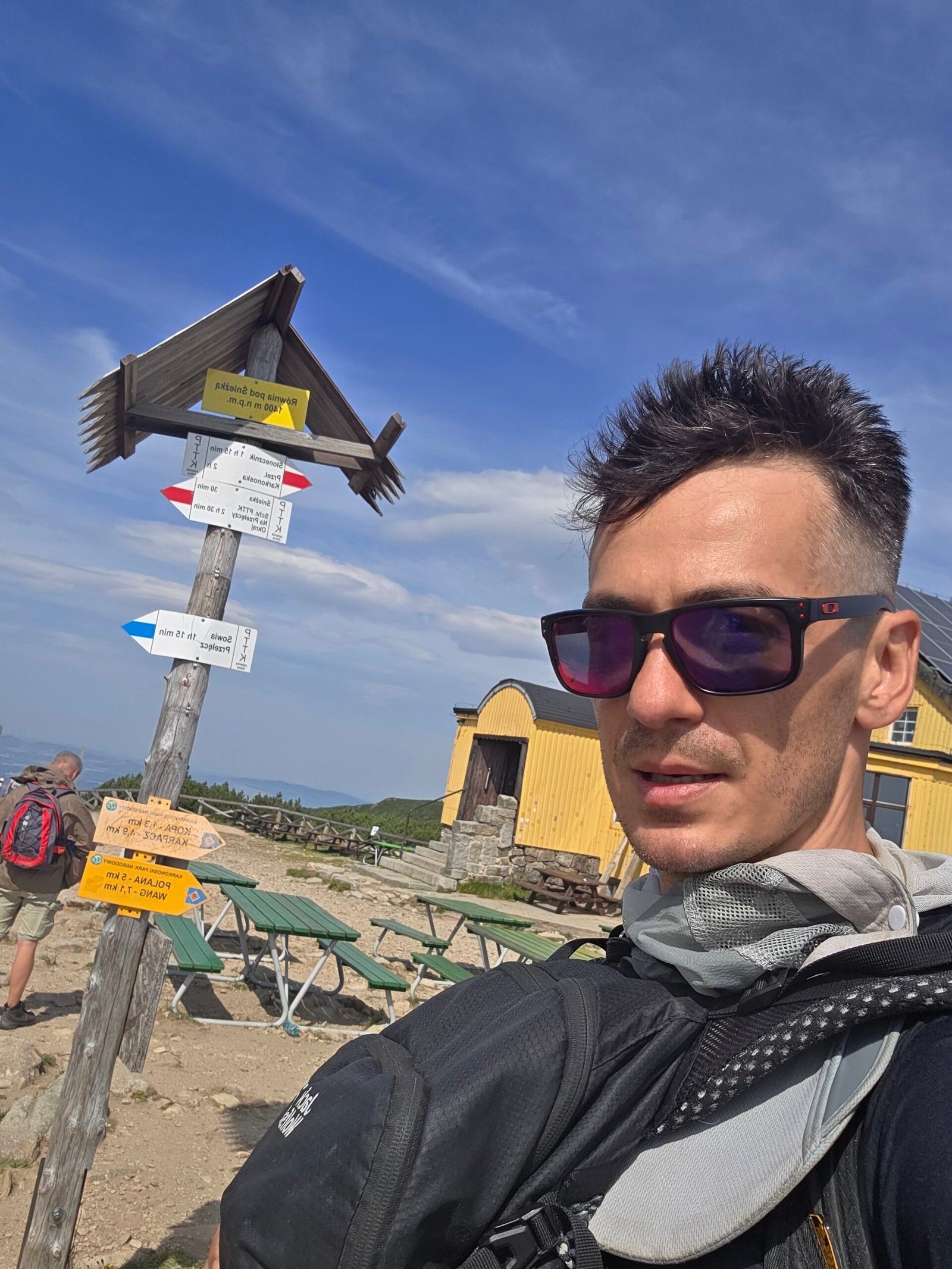
- Summit
- 1,603 mCzechia’s highest mountain · shared with Poland
- Mountain range
- Krkonoše / KarkonoszeThe Giant Mountains · Sudetes
- Main bases
- Pec & KarpaczCzech and Polish sides respectively
- Pec via Obří důl
- 7 km one wayOfficial route: 813 m ascent · 3 h 12 min walking
- Two different lifts
- Summit or KopaCzech gondola / Polish chairlift with walking remaining
- My summit
- 12:03 · 28 August 2025Up from Pec · down towards Karpacz
Start with the route comparison, then check the relevant park bulletin and cableway before choosing your date. My illustrated diary follows the practical guide. Official Czech walking route · Meet the mountain’s nature.
02 / Choose your route
A valley climb.
A lake walk. A shorter approach.
| Option | Best reason to choose it | Plan around |
|---|---|---|
| Pec → Obří důl → Sněžka | A complete Czech-side mountain ascent | 7 km and 813 m ascent on the published one-way route; add the descent |
| Karpacz → Wang → Samotnia → upper plateau → summit | A varied Polish day with a lake and mountain huts | A full walking day; map the whole summit extension and current diversions |
| Karpacz → Biały Jar / Kopa area → Dom Śląski → summit | A more direct Polish approach | A sustained climb and an exposed final summit section |
| Karpacz → Kocioł Łomniczki → Dom Śląski → summit | A dramatic Polish valley approach in suitable conditions | Seasonal closure of the upper valley route; no dogs on the excluded section |
| Kopa chairlift + walking | Reduce the lower ascent from Karpacz | Kopa is not the summit; allow for the outward and return walk |
| Pec gondola to Sněžka | Reach near the summit with much less walking | Both sections must operate; queues, weather and maintenance |
| Pec → summit → Karpacz | A satisfying crossing between the two bases | Arrange transport or accommodation on the far side before starting |
My first-visit choice
With a settled forecast and enough time, I would choose a full walking day and a base that suits the rest of the holiday. From Pec, the Obří důl route has a useful official map and GPX. From Karpacz, the Samotnia approach adds a different landscape before the upper mountain.
If your priority is a shorter visit, compare the two lifts carefully. One takes you near the summit; the other leaves a real mountain walk. That distinction matters more than the word “cable car” on a search result.
Karpacz’s own route descriptions · Pec route map and GPX · Polish dog-route map.
03 / From Pec: Obří důl
Into the valley.
Then up into the wind.
The regional tourism organisation publishes the Pec → Obří důl → Sněžka ascent as 7 km, 813 m ascent and 3 h 12 min walking. Treat those as route-reference figures, not your complete door-to-door day or a promise about your pace.
1. Start in the correct part of Pec
Save the official route and its starting point. Add the walk from your accommodation or parking, then follow the marked route into Obří důl. It is worth starting with a clear map rather than simply following people heading towards the gondola.
2. Enjoy the valley before the steeper ground
Obří důl is a glacial valley below the mountain. Give this lower part some attention: the valley walls and changing scale are part of the reason to walk. The official outing includes a map and GPX, useful for seeing how the route develops before you leave.
3. Reach the saddle below the summit
The upper approach brings you towards the saddle by Dom Śląski / Obří sedlo. Pause before the final climb: put on an extra layer, eat something and check the return plan while you are still comfortable enough to make a good decision.
4. Use the signed summit approach
Follow the current route and direction signs. A mountain path visible across the slope may be closed or used differently from the line on an old travel photograph.
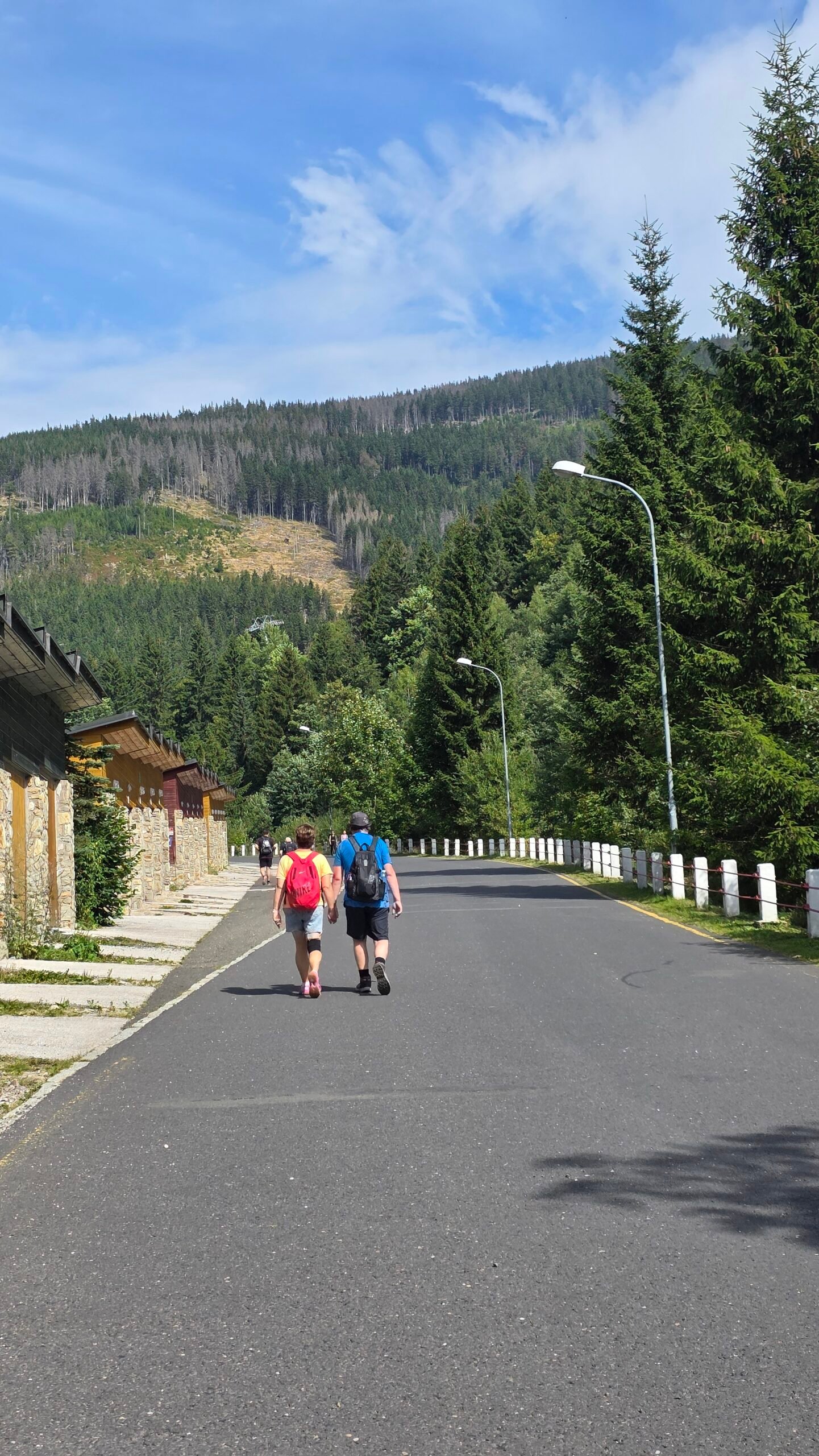
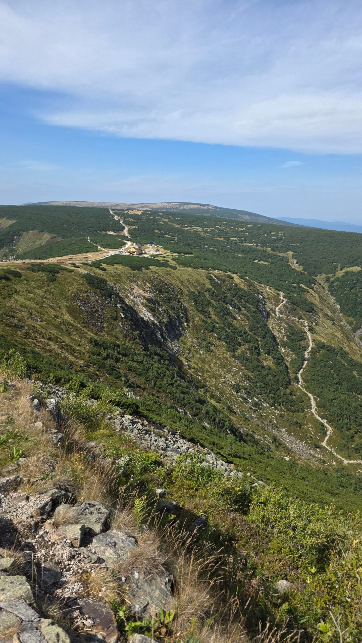
Open the complete official ascent · Check Czech route restrictions.
04 / Czech walking returns
Choose the descent.
Before you leave the valley.
A summit day becomes much easier to understand once the return is drawn on the map. The cableway operator lists several walking descents with very different lengths.
| Published route from Sněžka | Listed distance | How I would use it |
|---|---|---|
| Via Růžohorky to Pec | 6.1 km | A Czech-side return to compare with the Obří důl ascent |
| Via Luční bouda and Výrovka to Pec | 12.2 km | A substantially longer mountain day, not a quick way down |
| Via Růžohorky and Portášovy boudy to Velká Úpa | 5.5 km | Ends in another settlement; arrange the final transfer |
| Via Chata Jelenka to Pomezní Boudy | 7.5 km | A different destination requiring its own return plan |
These are the operator’s route distances, not measured GPX tracks from my expedition. Check the marked line, current restrictions and all connections yourself. Add ascent and descent together when estimating the whole outing.
A loop for a settled day
The appeal of walking up one side of the Czech approach and returning another way is variety. Keep it flexible: a long extension is attractive when the group is comfortable, the weather holds and the return is secure.
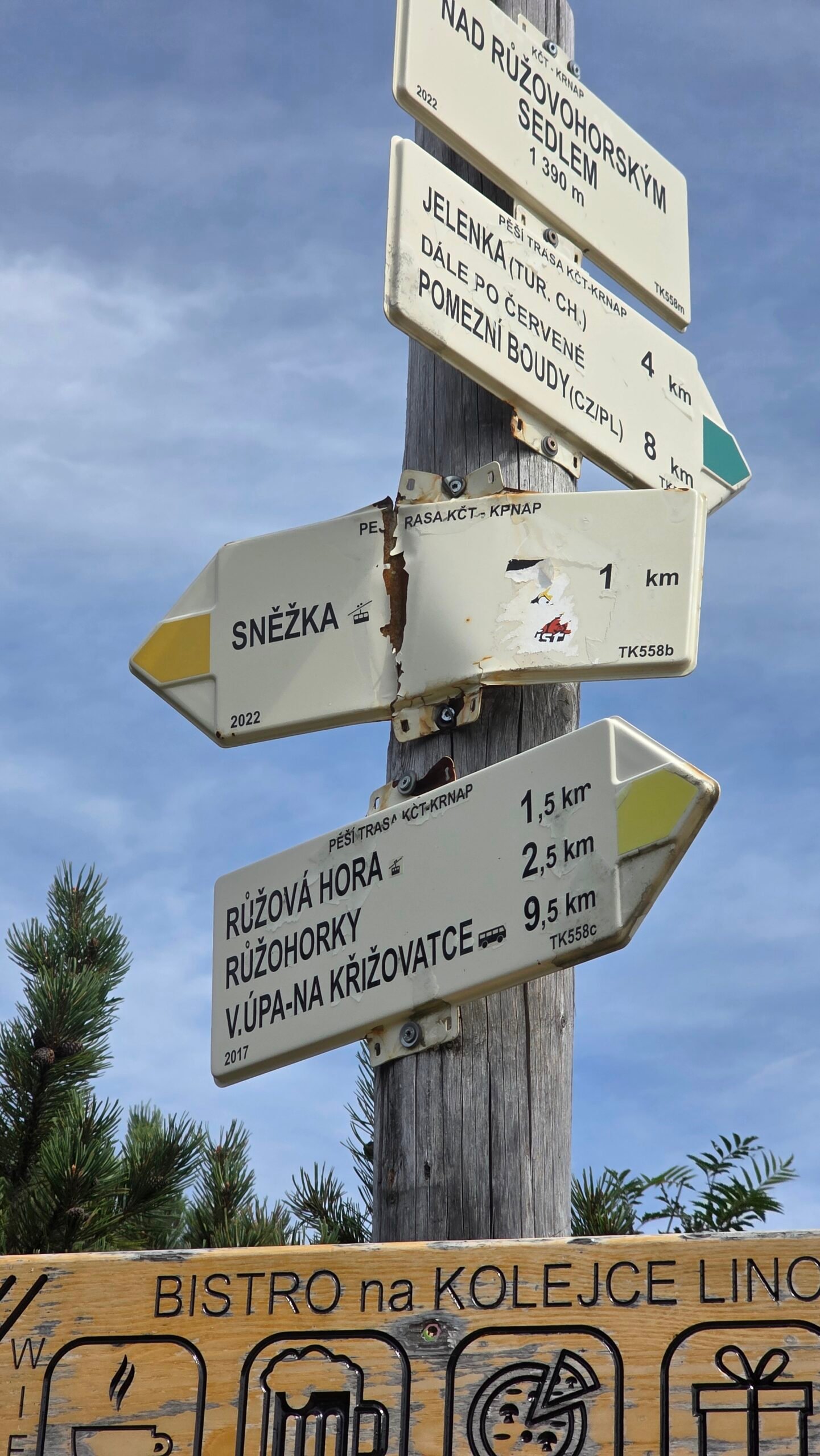
05 / From Karpacz: Wang & Samotnia
The lake-side chapter.
Then the upper mountain.
For a varied Polish outing, look at the approach from Wang through Polana, the Mały Staw area, Samotnia and Strzecha Akademicka, then map the onward line towards Dom Śląski and Śnieżka.
Why choose it?
It gives the day several distinct stages: forest, a mountain-lake setting, huts and the higher plateau. A pause at Samotnia can become a memorable part of the walk rather than simply a stop on the way to a summit photograph.
Keep the route description honest
Karpacz also publishes a Wang–Samotnia–Strzecha–Kopa outing that returns to town. That circuit is not automatically a summit itinerary. Add the actual Śnieżka extension and your chosen descent before comparing distance or time with a direct approach.
Seasonal lines can differ
The town describes winter closure of the section towards Samotnia through the lake basin and an alternative via the transport road. Use the current park map to identify the line that is actually available during your visit.
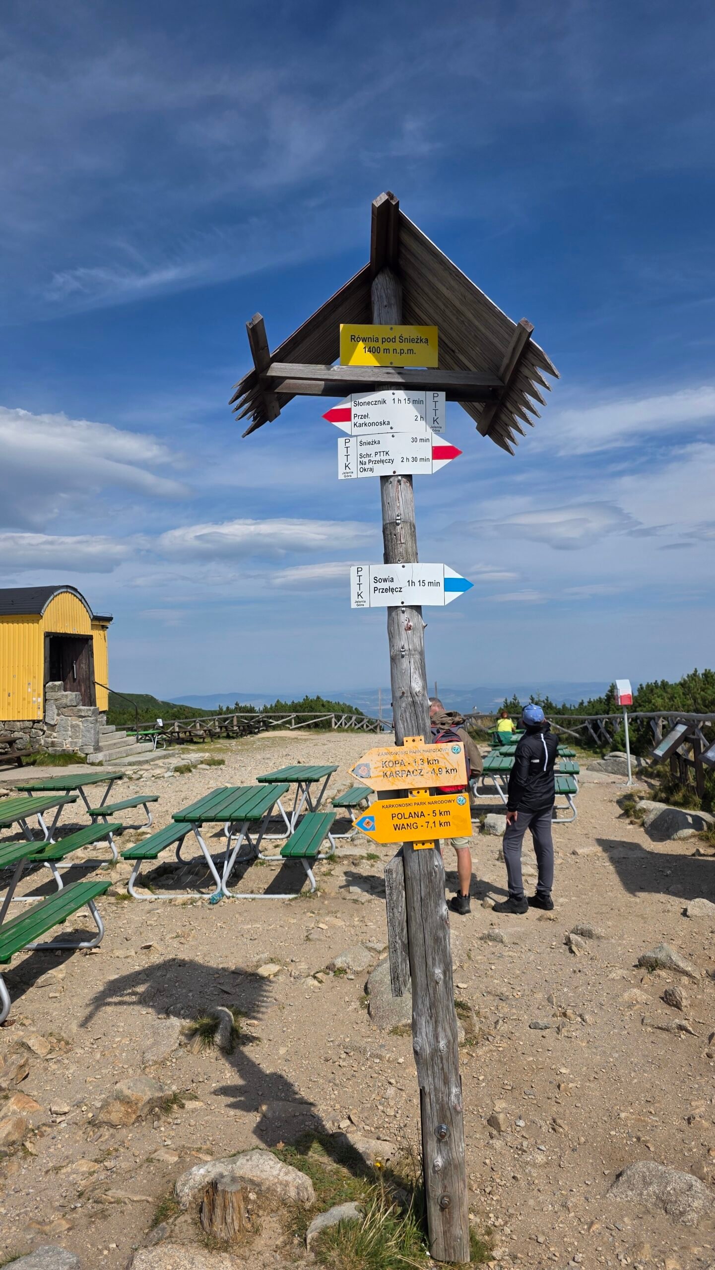
I would set aside a full day for a relaxed summit outing with hut stops and photographs. That is my planning advice, not a single official route duration. Read the Polish town’s route descriptions · Map the complete day.
06 / From Karpacz: Kopa approach
A direct way up.
Still a mountain day.
The Kopa / Biały Jar approach is useful when you want to concentrate on the higher mountain rather than build the day around the lake basin. Identify your exact start: the Biały Jar junction in town and the lower chairlift station are different places.
Build the route through named junctions
Save the start, the upper Kopa area, Dom Śląski and the summit, plus the descent. Marked trail colours identify routes; they do not grade them by difficulty. A black-marked walking trail is not automatically a technical climb.
Give the final section its own time
Do not spend all your energy getting to the saddle and then regard the summit as a formality. The last climb, summit pause and descent still need daylight and comfortable conditions.
Return to the correct place
If you leave a car at the lift, choose a descent that brings you back there, or include the extra town walk. If using a lift in one direction, a full walking return needs to remain within your group’s ability.
07 / From Karpacz: Łomniczka
A dramatic valley.
A seasonal choice.
Karpacz’s official description follows the red route from Biały Jar past Orlinek and Nad Łomniczką, then climbs more steeply towards Dom Śląski. The cascades and the symbolic memorial to mountain victims add interest to the approach.
Check the upper section
The town identifies the Nad Łomniczką → Dom Śląski section as closed in winter because of avalanche exposure. Do not turn a summer route description into a winter recommendation. Opening and closing depend on the park’s actual notices.
With a dog
KPN lists the upper red route through Kocioł Łomniczki among the sections excluded for dogs. The yellow approach between Betonowy Most and Nad Łomniczką is also excluded. Choose the whole outing using the park’s dog map.
For a first visit
Consider this route when the upper valley is open and its terrain fits your group. If it does not, choosing another approach is straightforward planning. There are several ways to enjoy the mountain without forcing a particular line.
Town route background · Current Polish bulletin · Dog-route restrictions.
08 / The final summit climb
The saddle is a pause.
The top is still above you.
Dom Śląski sits below the final summit rise. This is where routes and people converge, and where a sheltered valley walk can begin to feel much more exposed.
Zakosy and Droga Jubileuszowa
The Polish visitor material describes a steeper zigzag approach and the gentler-gradient Droga Jubileuszowa. A gentler gradient does not establish that a route is open, free of ice or suitable for your group.
Follow the signs on the day
Seasonal closures and directions of travel can change which line you should use. Read the signs at the junction rather than assuming an old GPX or a queue of walkers settles the question.
Make room for the descent
Keep hands available, give descending walkers space and stop for photographs where you can step clear without crossing barriers. If the surface or wind feels beyond your comfort, the saddle is a sensible point to reassess.
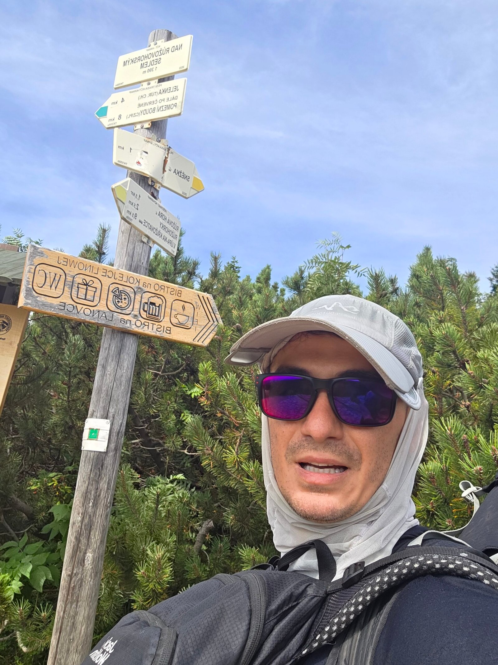
Check current access to the summit paths · Town-published summit background.
09 / On the summit
A horizon shared.
A summit full of life.
Śnieżka feels different from a remote mountain top. Walkers arrive from two countries, people stop for portraits, and the summit buildings make it instantly recognisable.
Look for the landmarks
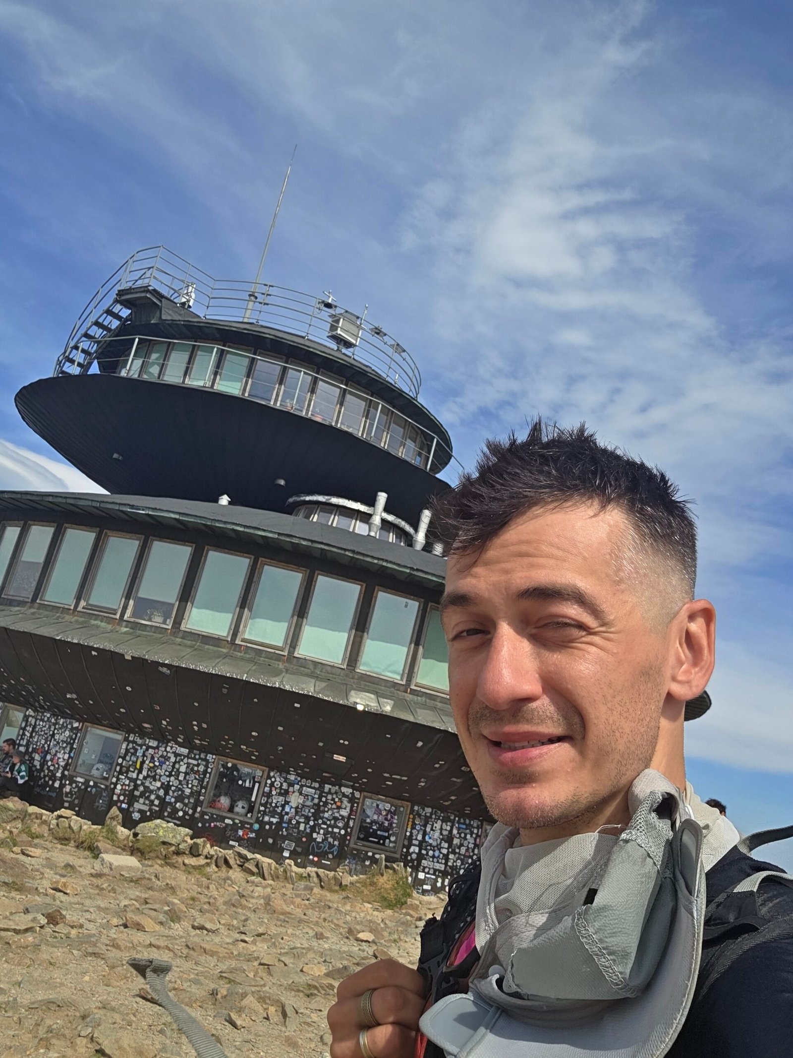
The Polish meteorological observatory has the distinctive stacked-disc shape. St Lawrence’s Chapel provides a very different silhouette nearby. On the Czech side you will find the post-office building, with the gondola’s upper station below the very top.
Photograph the setting
Make one wide frame before the close portrait: people moving along the paths, layers of ridges and the summit’s rocky surface explain the place. Wait your turn at a marker and move aside when you have your picture.
Leave space for other visitors
A busy top can still be a good experience. Keep bags out of the walking line, avoid stopping an entire path for a photograph and take a quieter pause further along an open marked route.
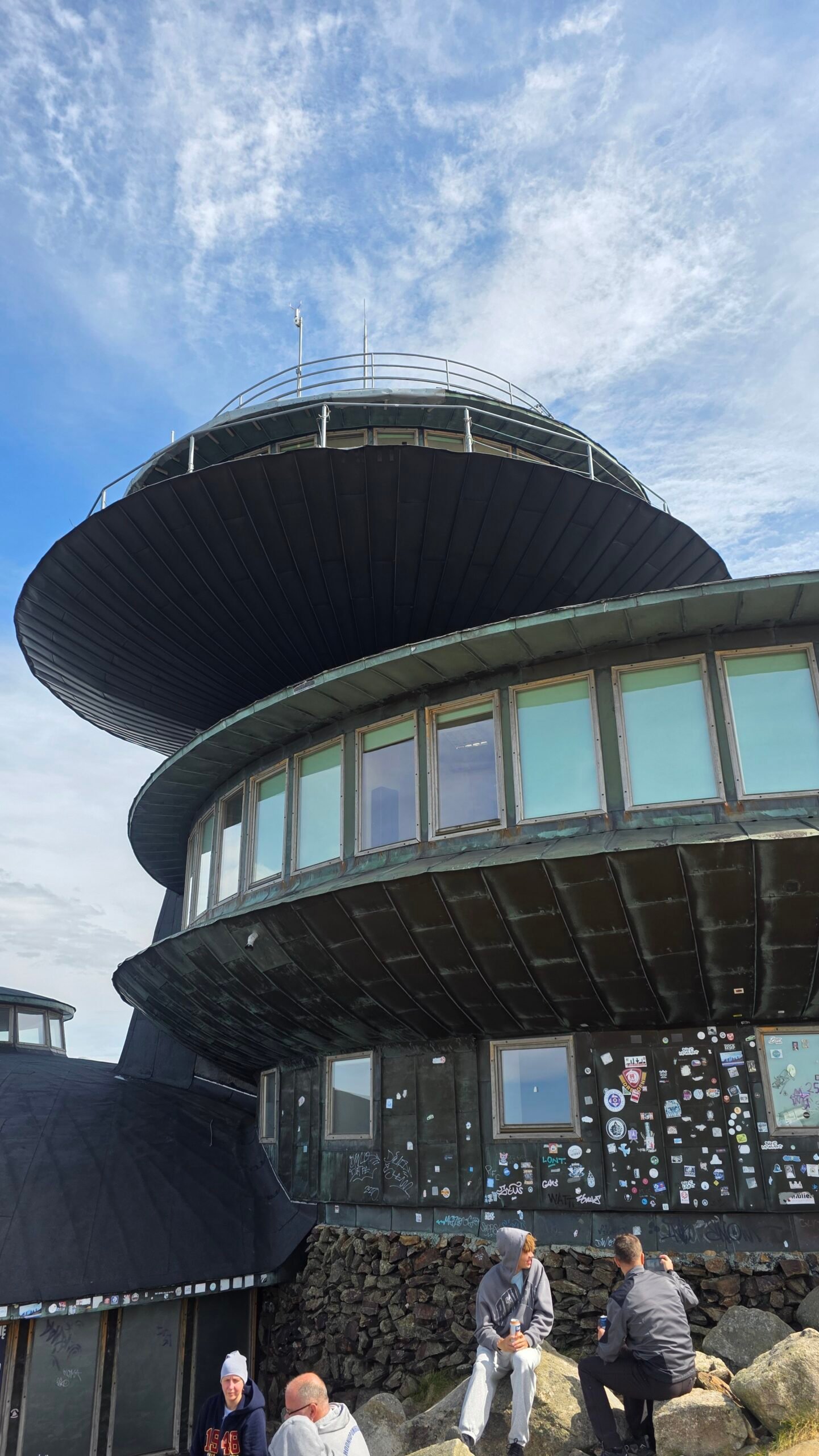
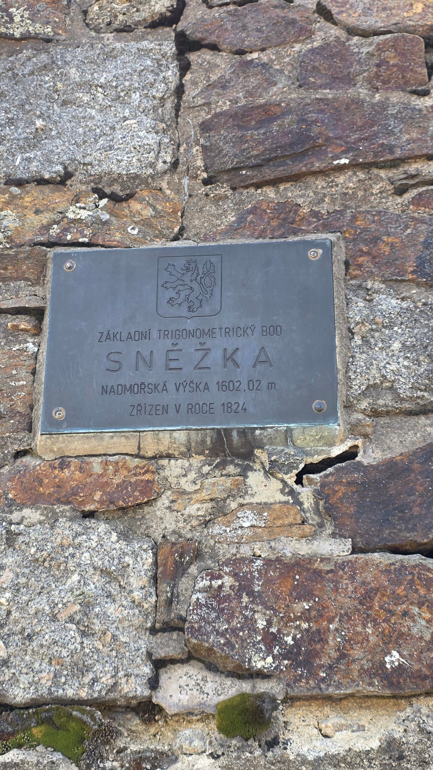
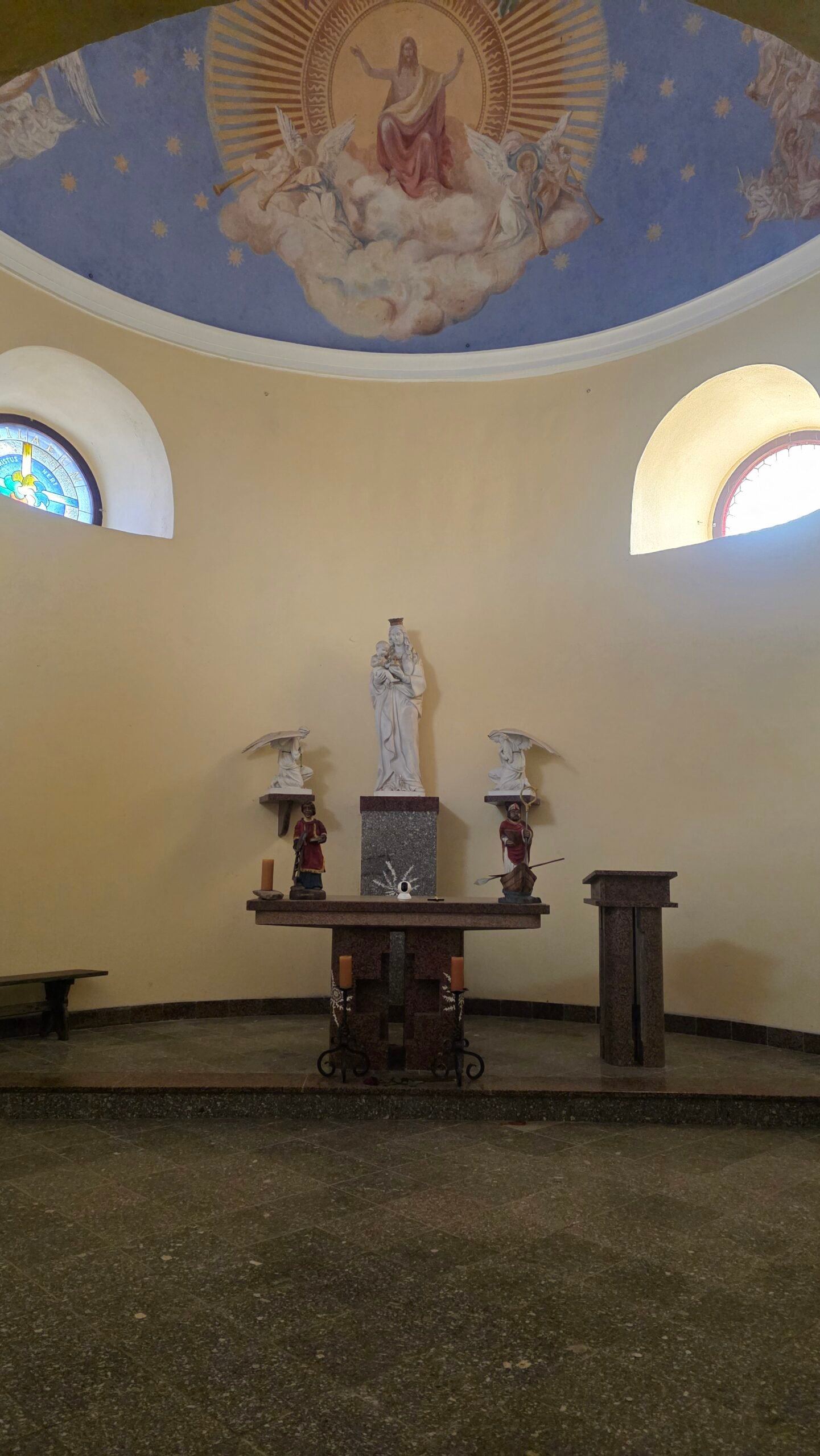
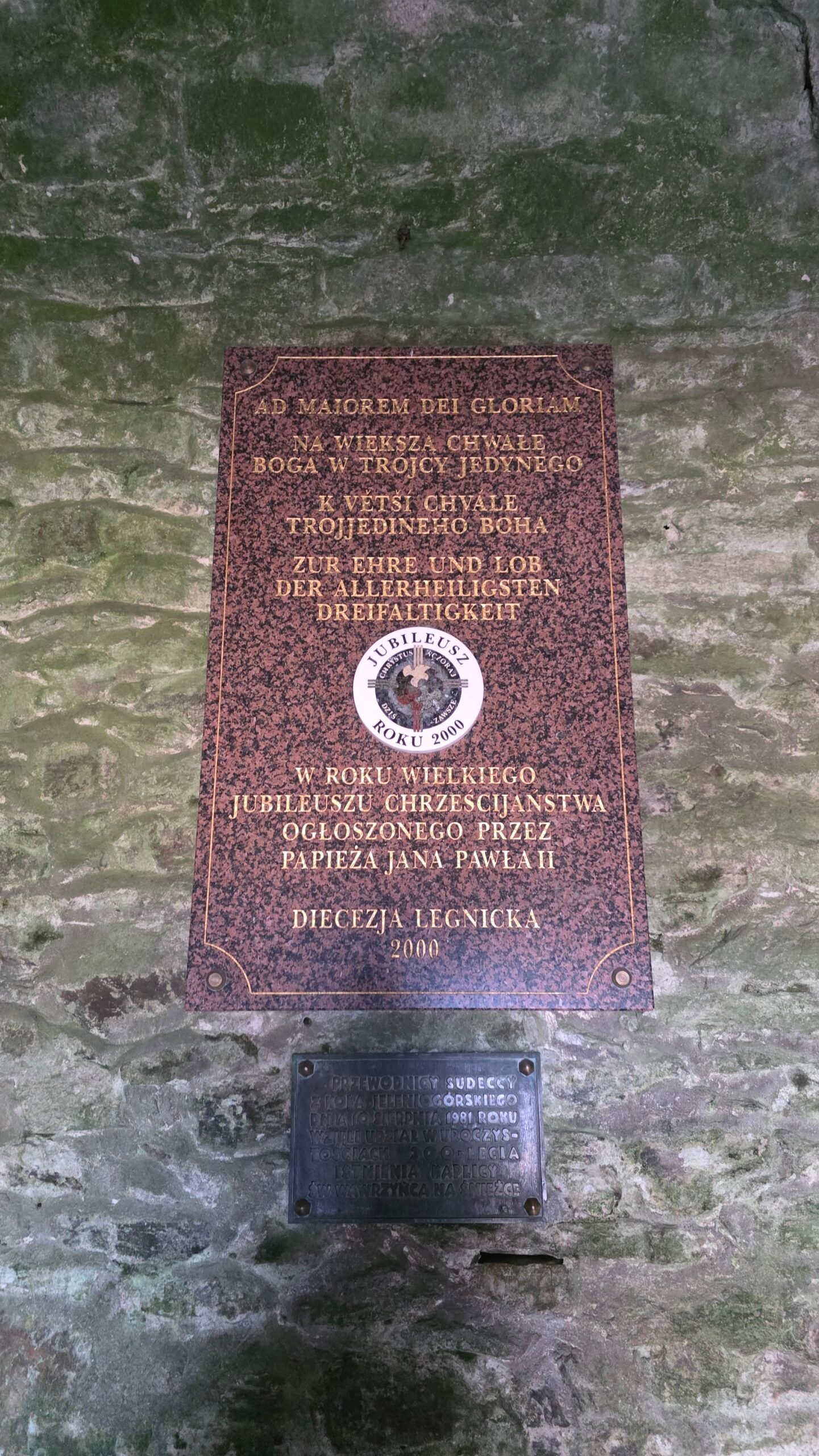
The buildings are landmarks, not a promise that every interior, café or service will be open. Official summit-landmark background.
10 / The Czech gondola
Pec to the summit.
Check both sections.
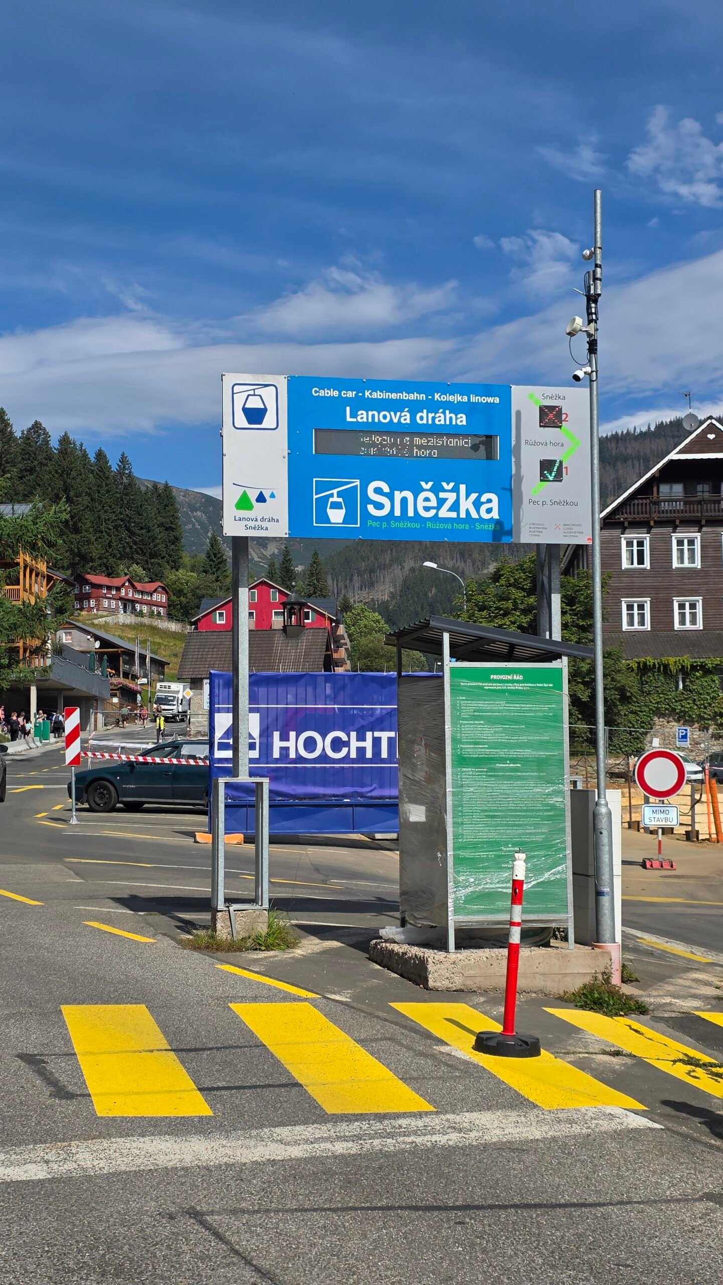
The Czech gondola runs Pec pod Sněžkou → Růžová hora → Sněžka. Its summit station leaves a short final approach to the top. Lower-section operation does not establish that the upper section is running.
The operator announces maintenance from 2 November to 18 December 2026, with operation at weekends and 11–17 November. Use the operator’s current notice for your date; weather can still interrupt service.
Choose the correct ticket
Compare a full return with a one-way ticket only after deciding whether everyone can complete the walking return. Check both sections, the last departure and any queue before starting.
Busy days
The operator says time and seat reservations are not available. Keep enough flexibility for waiting, especially when an onward connection matters.
11 / The Polish Kopa chairlift
A lift to Kopa.
A walk to Śnieżka.
The ZBYSZEK chairlift from Karpacz goes to Kopa. It does not deliver you to Śnieżka’s summit. Your plan still needs the walk towards Dom Śląski, the final ascent and the return.
How much time should you leave?
As a practical starting allowance, I would keep around 1–1.5 hours each way for the upper-station-to-summit walk, then add the summit pause, queues and a buffer. This is my suggested allowance for suitable snow-free conditions, not an operator guarantee.
Check the correct operating status
Look for the chairlift itself. A ski-slope closure and a lift closure are different notices. Check the last descent and weather on the actual day, and avoid making the final chair your only workable way down.
Compare complete days
The chairlift may suit someone who wants the upper mountain but a shorter ascent. It does not remove the exposed summit walk. A valley outing may be a better experience if that remaining section is unsuitable.
12 / Getting to your base
Choose a valley.
Then build the connections.
Pec pod Sněžkou
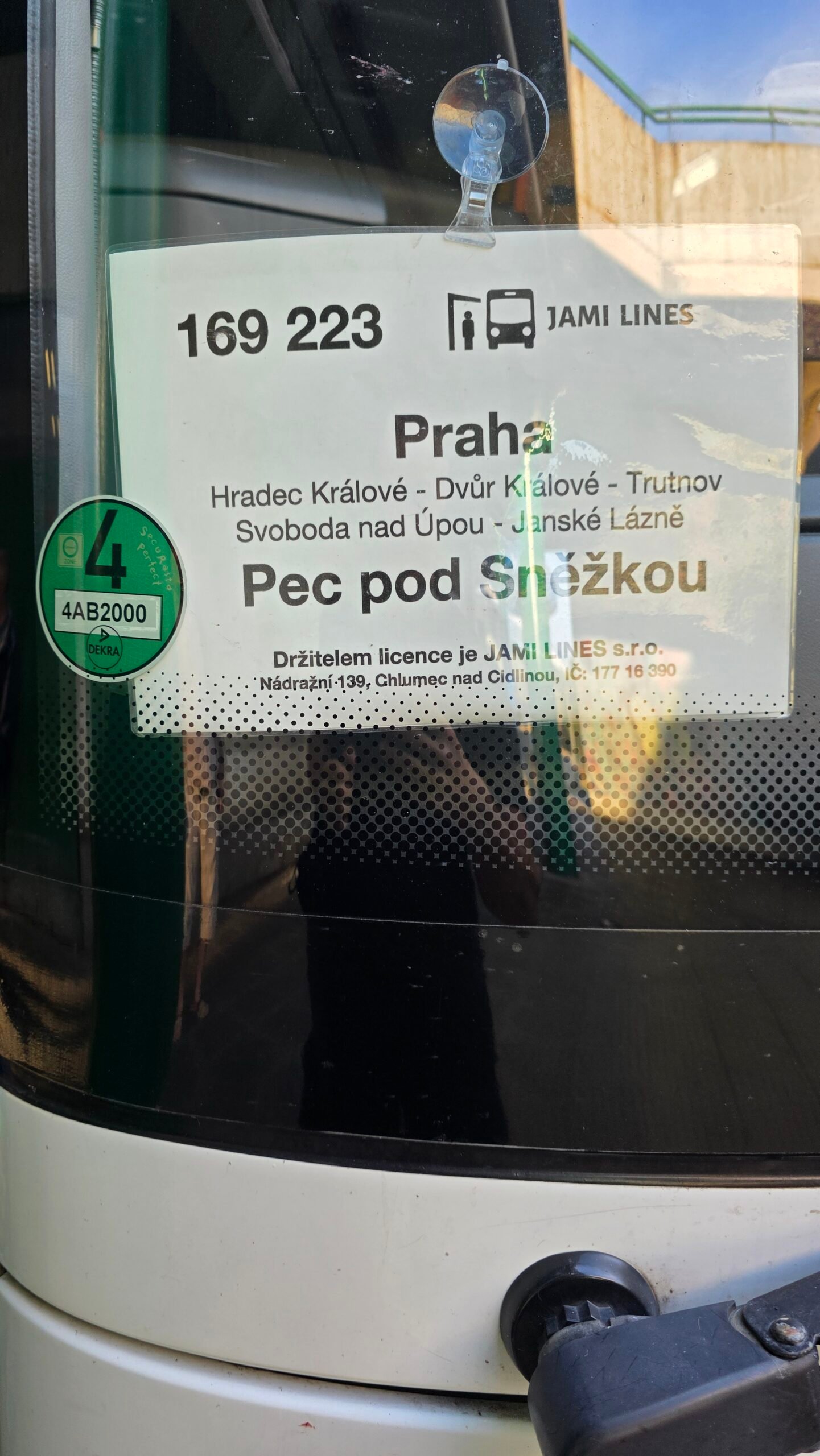
The town’s transport page links current bus information and seasonal shuttles. Trutnovská autobusová doprava lists a Prague–Hradec Králové–Trutnov–Janské Lázně–Pec long-distance route. Check the actual departure stop, travel date and last connection in the timetable you book.
Karpacz
Use the town’s arrival information and timetable page to work backwards from your accommodation or walking start. Allow for the journey within Karpacz: a stop in the centre is not necessarily the Wang or chairlift trailhead.
If driving
Choose an official car park on the side where you intend to finish. Add the walk to the actual trailhead and check any accommodation parking separately. A summit crossing creates a car-retrieval problem unless you arrange the transport first.
Pec transport desk · Prague–Pec operator information · Karpacz arrival information · Karpacz timetables.
13 / Pec to Karpacz crossing
Up in one country.
Down into the other.
This was the shape of my expedition day: climb from Pec and descend towards Karpacz. It is a satisfying way to experience a shared mountain, especially when your wider journey is moving in the same direction.
Arrange the far side first
Book a bed, confirm a pickup or identify a real onward service before you leave the starting valley. Decide what happens if you arrive later than planned. A crossing should not depend on reaching an unfamiliar bus stop with minutes to spare.
What about a bus between the valleys?
The gondola website publishes information about a Karpacz–Pec service and links onwards to the transport operator. It is a useful lead, but confirm the current timetable directly. Different pages show different fare figures, so I would obtain the actual fare when booking rather than quote one as certain here.
Travel lighter than I did
If staying in the same base, ask about storing your main bag. If genuinely continuing across the mountain, pack only what your onward journey requires and allow for the effort of carrying it uphill.
Cross-valley bus information · Confirm Polish onward transport.
14 / Huts & overnight stays
A warm pause.
Or a slower mountain stay.
Dom Śląski
A useful landmark at the saddle below the summit. Contact it directly if you want accommodation or are planning around a meal. A nearby hut is helpful, but your route should not depend on an unconfirmed kitchen or bed.
Samotnia and Strzecha Akademicka
These belong naturally in a Polish itinerary through the Mały Staw area. Decide whether you want a walking-day pause or an overnight stay. Booking a hut changes the rhythm of the day and gives you more room to enjoy the approach.
A Czech-side extension
The published walking returns include Luční bouda and Výrovka. Check the complete distance before adding them; the 12.2 km route to Pec via both is a much longer descent than a direct return.
Ask before booking
Confirm arrival time, meals, bedding arrangements, payment and the open route to the property. If a weather change makes the planned approach unsuitable, contact the property while you can still adjust the day sensibly.
Official hut contacts · Compare Czech hut-route distances · KRNAP overnight guidance.
15 / Plan your day
Give the mountain time.
Keep the evening simple.
Option A · A walking day from Pec
Stay in Pec the night before. Walk the mapped Obří důl ascent, pause at the saddle and summit, then take a preselected open return route. Keep the evening in the same valley, with no tight long-distance connection.
Option B · A Karpacz day with the lake
Start near Wang, choose the available approach to Samotnia and the upper mountain, and use a complete mapped return. Plan a long daylight allowance and treat hut stops as part of the pleasure of the day.
Option C · A shorter upper-mountain visit
Use the Kopa chairlift with the remaining walk, or the full Czech gondola. Check service before leaving your accommodation. If the forecast is unsuitable for the exposed section, use the day for a lower outing instead.
My preferred two-night visit
Arrive and settle in on day one; give day two to the mountain; leave after breakfast on day three. It removes much of the timetable pressure that shaped my own expedition visit and leaves more room for photographs and a proper meal.
16 / Seasons & mountain weather
The valley can feel warm.
The summit can feel very different.
My August diary describes cold wind near the top despite excellent visibility. Pack for the summit forecast rather than the temperature outside your accommodation.
For a first snow-free visit
Choose a period with open paths, a settled mountain forecast and enough daylight for the whole outing. A weekday with an early start can make the logistics more comfortable, but no date guarantees empty paths or clear views.
In autumn and spring
Read the mountain forecast carefully and check lift maintenance. Ice can change the character of a path well before the valley feels wintry. Choose the walk that suits the conditions you actually find.
In winter
Plan a winter mountain outing, with the skills and equipment required by the actual snow, ice and avalanche situation. A summer track is not a winter route recommendation. Seek local advice if the terrain or equipment is unfamiliar.
Before stepping onto exposed ground
Check the wind, visibility, precipitation and return time again. Put the extra layer on before becoming cold. The summit remains a good future objective if conditions do not suit the group today.
KPN mountain weather · Czech weather forecasts · Regional mountain-rescue advice.
17 / Closures, maps & park rules
Save the route.
Check the route.
A useful map shows more than the shortest line. Save the full ascent and descent offline, identify junctions and huts, and keep the park’s current restriction information with it.
Check both parks for a crossing
Use KPN for the Polish side and KRNAP for the Czech side. Read the detail for the exact affected section. Work restrictions, a closed path and a seasonal route change can require different planning.
Respect the marked line
Stay on open marked routes and within summit barriers. Do not cut a zigzag or follow a worn shortcut to get around other visitors. Leave the rocks where they are and take every piece of rubbish back down.
Daylight and photographs
KPN asks visitors to walk in daylight. Plan photography around the actual access rules; a headtorch is useful backup equipment, not a reason to assume that an ordinary night outing is permitted.
Polish conditions and closure map · Czech route restrictions · KPN map · Polish visitor rules.
18 / Families, access & dogs
Match the outing.
To the people coming with you.
With children
Choose a version that leaves room for rests and an uncomplicated return. Start with their comfortable walking distance and experience in exposed wind, then decide whether a lift helps. A summit reached by gondola can still be cold.
Mobility needs
The Czech operator lists carriage of wheelchairs and pushchairs. Confirm dimensions, boarding assistance, the station exit and the surfaces you want to reach directly with the operator. Transport in a gondola does not establish that every summit surface is step-free.
With a dog
On the Polish side choose a permitted route from KPN’s map, use a lead and carry a muzzle for situations where it is required. The Czech gondola requires both lead and muzzle. Include water and paw comfort in the plan, especially on rough stone.
A useful alternative
There is no obligation for every group to make the summit the same day. A lower walk and a meal can be a complete outing; choose an achievable destination before everyone is tired.
KPN dog-route details · Ask the gondola operator about access.
19 / The landscape beneath the views
Small plants.
A mountain worth looking after.
KRNAP’s English summit leaflet describes the fragile tundra and its short growing season. The small plants beside the path are part of what makes this mountain special, even when the panorama takes most of your attention.
Look from the path
Notice the contrast between the forested lower slopes, dwarf pine and the exposed higher ground. Let a wider photograph include those transitions rather than stepping over barriers for a cleaner foreground.
A stone is already in the right place
The park asks visitors not to rearrange rocks into cairns or other constructions. A personal marker does not improve the summit, and the next visitor deserves to see the landscape as it is.
Make a busy place work
Move patiently, give others space and take rubbish back down. Small habits make a visible difference on a summit where many people share a limited area.
20 / Food & the valley evening
A snack on the climb.
A proper meal afterwards.
Bring water and food you can eat comfortably during the walk. A hut stop is enjoyable, but it works best as a planned pause rather than the only place you expect to find something to eat.
Make the snack accessible
Keep a small portion near the top of the bag, together with your warm layer. At a windy junction you will appreciate not having to unpack everything to find one bar.
Choose a valley meal
Back in Pec or Karpacz, choose somewhere close to where you are staying. A mountain day often ends better with a short walk to dinner than another complicated transfer. Check the kitchen’s actual closing time if you expect to return late.
After a crossing
Save your accommodation address and the next departure before settling down to eat. Once the essentials are arranged, the first relaxed meal can become the moment the day finally slows down.
21 / Costs & calculator
Price your version.
Keep the currencies clear.
A walking day, a chairlift day and a full gondola return have different budgets. Start with the version you actually want, then add accommodation, travel and food.
| Item | Published reference checked 1 November 2026 | How to use it |
|---|---|---|
| KPN admission | 11 PLN standard / 5.50 PLN reduced for one day | Check exemptions and ticket coverage for your exact outing |
| Kopa ZBYSZEK chairlift | 75 / 85 PLN adult ascent; 85 / 95 PLN return | Low / high season respectively; the operator defines the applicable dates |
| Pec → Sněžka gondola | 2026 main-season adult reference: 400 CZK up / 750 CZK return | Main season 1 May–31 October; obtain the applicable fare for other dates |
| Accommodation, meals and travel | Your own dated quotes | Enter one person’s share, with room for the actual itinerary |
The park’s information explains admission arrangements associated with lift tickets. Check what your chosen ticket covers before buying a separate admission. The Czech fare PDF has a separately dated off-season panel; use the current fare page to confirm November and later travel rather than treating an old validity period as a live quote.
One currency in the calculator
The calculator uses Polish złoty (PLN). Convert any CZK or other quotes yourself using the rate you expect to pay. It does not fetch prices or exchange rates. Enter admission and lift tickets in extras, and avoid adding the same cost twice.
Only the shared group quote is split between people. Other fields are one person’s share; nightly accommodation and daily food are multiplied by the counts entered.
KPN admission and exemptions · Kopa seasons and fares · Current gondola fare page · 2026 fare reference PDF.
22 / Packing & planning checklist
A lighter pack.
A better prepared day.
Use this as a planning prompt, then adapt it to the forecast, route and people coming with you. A checklist cannot replace experience with winter terrain or equipment.
23 / If you need help
Know your position.
Make the call clearly.
Save your location and route before the day begins. If someone needs help, the useful information is specific: where you are, what happened, how many people are involved and what conditions you can see.
Polish GOPR: 985 or +48 601 100 300. General emergency number: 112. Say clearly which side of the mountain you are on, or that you are at the shared summit.
Give coordinates, a named junction or a clear landmark if you can. Keep the phone available and follow the dispatcher’s instructions. GOPR also recommends the Ratunek app; set up useful tools before you need them.
24 / Photography notes
A mountain portrait.
And the journey around it.
Śnieżka gives you several stories in one walk: the approach, the summit buildings, layers of distant hills and the people sharing the path. Vary the scale of your photographs so the gallery feels like a day unfolding.
Work with the path
A line of stone paving or a curving trail can lead the eye towards the mountain. Make the frame from a safe place on the open route and let other walkers pass while you wait.
Keep some human detail
A signpost, a heavy bag or a tired face gives a photograph context. My bus-board images are part of this story because the climb sat between a delayed arrival and another onward journey.
Wind and equipment
Secure straps and small items before the exposed ground. A short, deliberate sequence is easier to manage than unpacking everything on a crowded summit. Use the park’s current guidance before considering any drone flight.
All photographs here are my own from 28 August 2025. KRNAP guidance, including drones · KPN visitor information.
25 / My August crossing
A delayed bus.
A full pack. 12:03 at the top.
28 August 2025. My Sněžka day began before I reached the mountains—with a warm Hungarian dinner and an overnight bus that did not keep to the plan.
After Kékes, Farkas and I shared a traditional meal before I travelled towards Prague. The bus arrived nearly two hours late. That delay ran straight into the next part of a tightly arranged journey.
When I reached Pec pod Sněžkou there was no time to rest or reorganise. I had nowhere safe to leave my expedition bag, so I carried everything up the mountain. The sky looked good. The clock was less forgiving.
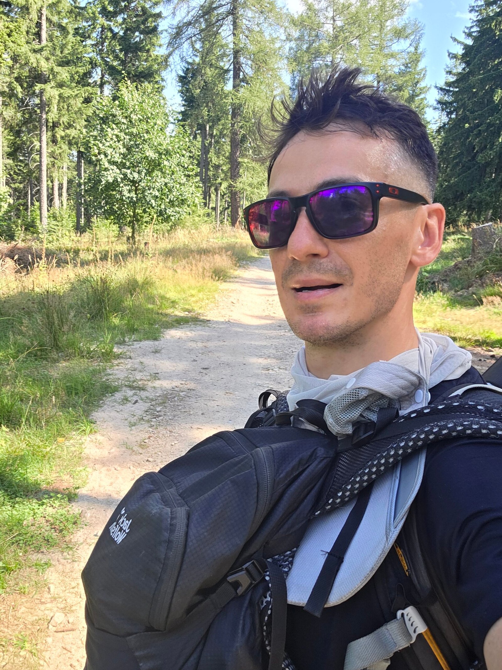
I set off immediately, moving through a busy stream of walkers. The path climbed over rocky ground and wooden sections, with the wind becoming more noticeable as I gained height.
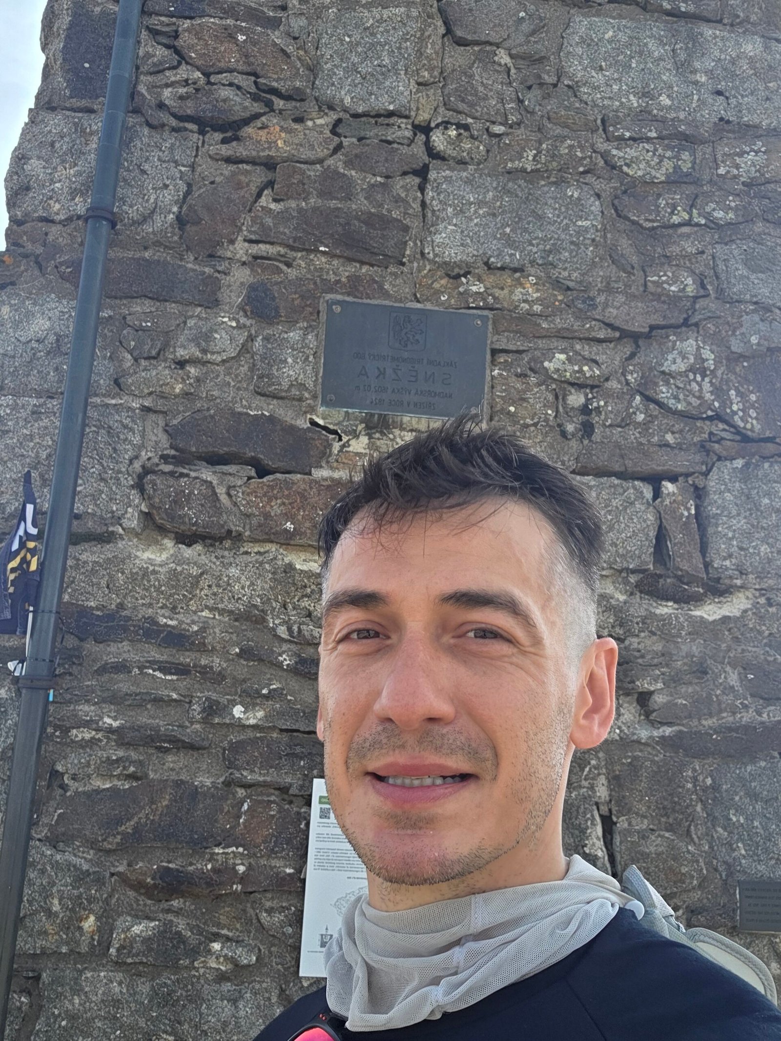
Near the summit, I recorded gusts over 50 km/h in my diary. The air was cold enough to sting, but the visibility was beautiful. At 12:03 I stood on the top, on the line between Czechia and Poland, looking across broad valleys and moving cloud.
The summit felt alive: people arriving from both sides, voices, laughter and hundreds of walkers drawn to the same view. After quieter Balkan mountains, that shared energy was part of the surprise.
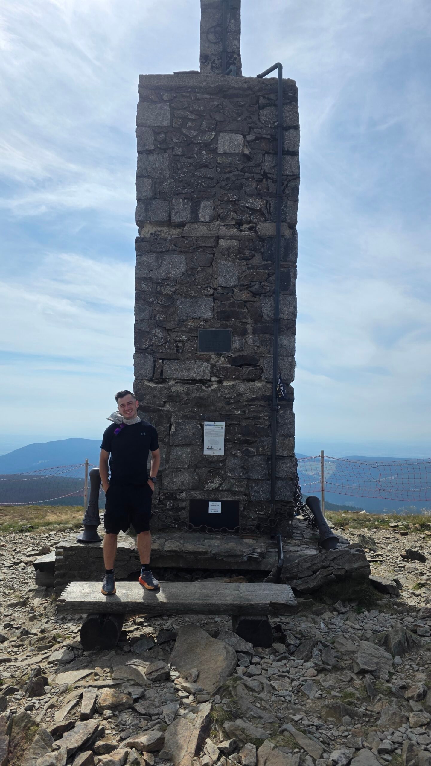
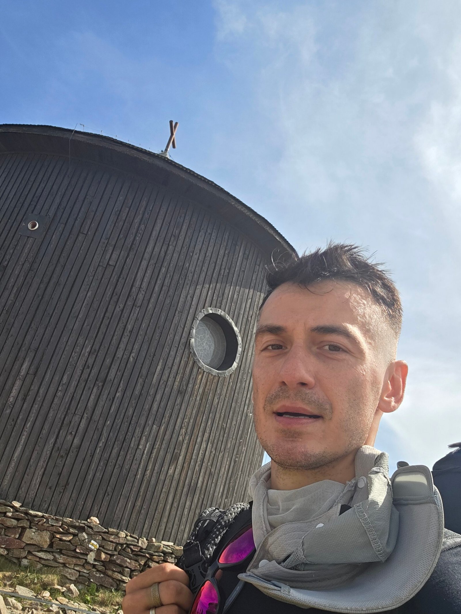
My original account records an ascent from Pec and descent towards Karpacz. It does not provide a verified GPX identifying every trail junction, so the practical route descriptions above are separate planning options rather than a reconstructed exact track.
26 / Down to Poland
The mountain behind me.
Another bus ahead.
After a few photographs, I descended towards Karpacz, passing mountain huts and cableway infrastructure. The pace of the day remained shaped by transport: I was continuing through Poland rather than returning to the Czech starting valley.
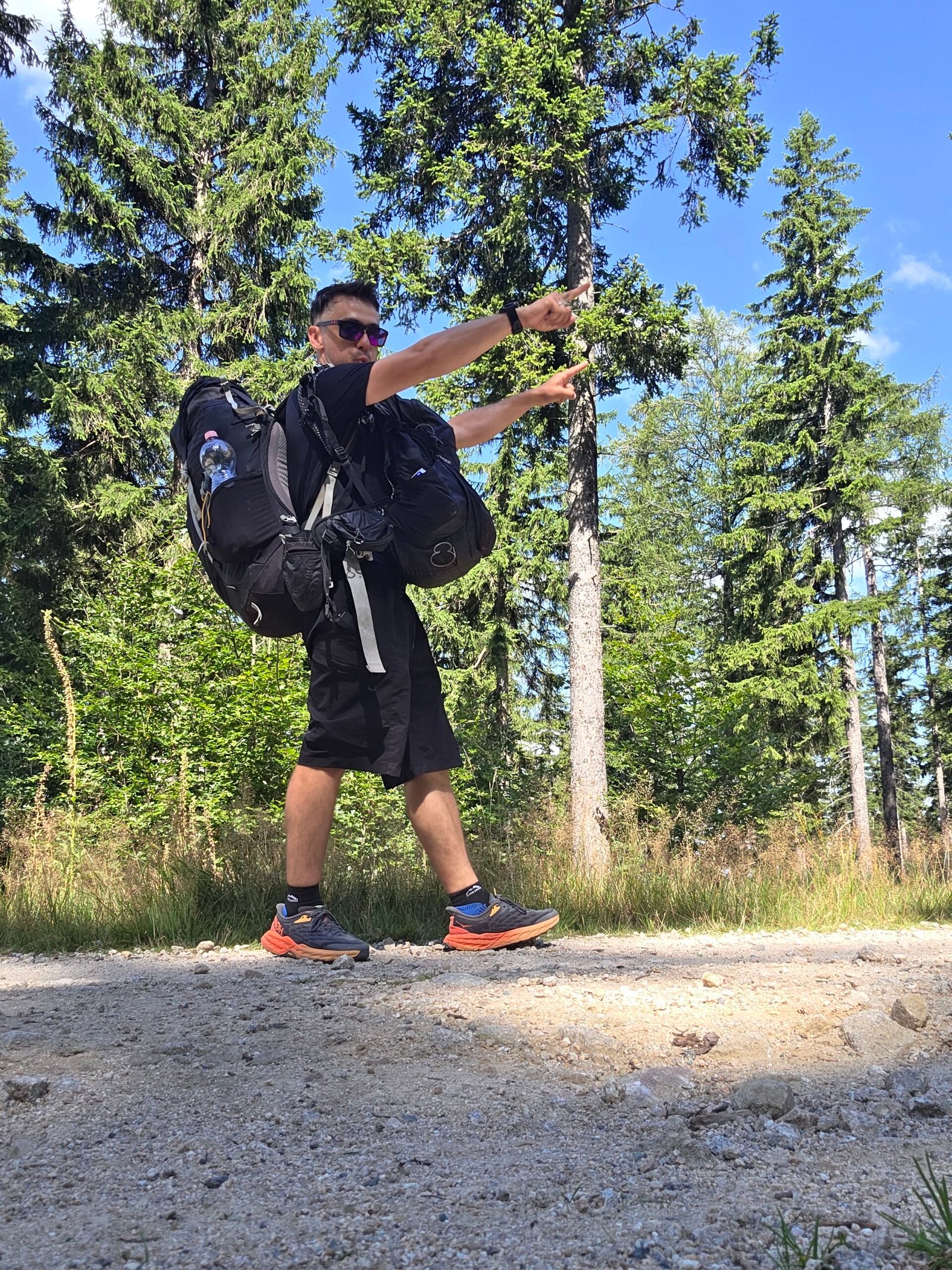
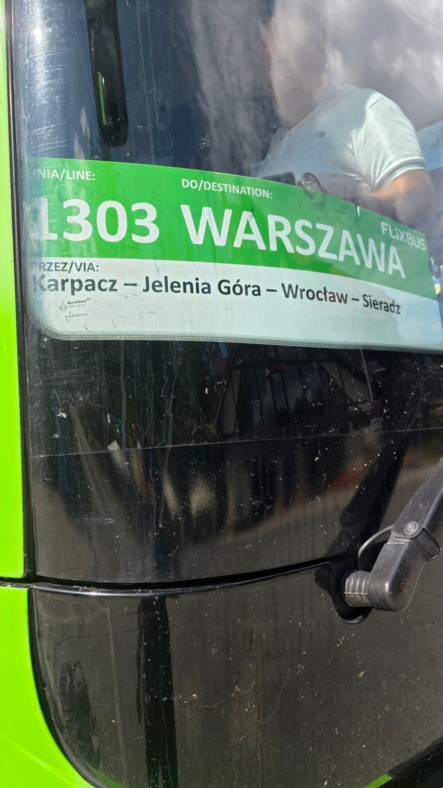
What stayed with me was the contrast. This climb tested timing more than strength. It asked me to keep moving through a chain of buses, a late arrival and a summit crossing, while still noticing the place I had come to see.
For a return visit I would give the mountain more time: a night in the valley, a lighter pack and an evening with no urgent connection. The view was memorable. There was room for a slower version of the day.
My next expedition chapter took me towards Minsk and Dzyarzhynskaya Hara. Continue to Belarus’s highest point ↗.
27 / Questions answered
The useful questions.
Are Sněžka and Śnieżka the same mountain?
Yes. Sněžka is the Czech name and Śnieżka the Polish name for the shared summit in the Giant Mountains.
Is it the highest mountain in Czechia?
Yes. This guide uses the 1,603 m figure in KRNAP’s English summit leaflet.
Is it also Poland’s highest mountain?
No. Śnieżka is the highest summit in the Karkonosze; Poland’s national high point is on Rysy.
Which side should I choose for a first visit?
Choose the base that fits your trip. Pec has the official Obří důl ascent and a summit gondola; Karpacz offers several walking approaches and the Kopa chairlift.
How long is the official Pec route via Obří důl?
The regional tourism listing gives 7 km, 813 m ascent and 3 h 12 min walking one way. Add your actual descent, stops and travel to the start.
Does the Polish chairlift reach the summit?
No. ZBYSZEK reaches Kopa. You still need to walk towards Dom Śląski and the final summit rise, then return.
Does the Czech gondola reach the mountain top?
It reaches the upper station near the summit, with a short final approach. Confirm both sections are operating.
Can wind stop the gondola?
Yes. Operation depends on conditions, and the upper section can be affected separately. Check the operator’s current status and plan a suitable alternative.
Is the gondola operating every weekday in November 2026?
The operator announces maintenance 2 November–18 December 2026, with weekends and 11–17 November as exceptions. Confirm the latest notice before travelling.
Can I walk up from Pec and down to Karpacz?
Yes, that was the outline of my expedition day. Arrange the far-side transport or accommodation first and check both parks’ current route restrictions.
Can I use the Łomniczka valley route in winter?
The town identifies the upper Nad Łomniczką–Dom Śląski route as seasonally closed for avalanche exposure. Use the current KPN notice rather than a summer itinerary.
Can I take a dog on every route?
No. KPN excludes several sections, including upper Kocioł Łomniczki. Use the permitted-route map; the Czech gondola also requires a lead and muzzle.
Are there mountain huts below the summit?
Yes. The guide includes Dom Śląski, Samotnia and Strzecha Akademicka, plus Czech walking extensions. Confirm beds and meals directly.
Is it an easy family outing?
It can be adapted with lifts or a shorter destination, but the exposed summit weather and the whole return still matter. Choose for the least experienced member of the group.
Which currency does the budget calculator use?
PLN. Convert any CZK or other quotes yourself before entering them. There are no live prices or automatic exchange rates.
What time did Adrian reach the summit?
12:03 on 28 August 2025, after an overnight journey and a delayed arrival in the Czech mountains.
Are the pictures from Adrian’s own visit?
Yes. They are from 28 August 2025 and include the travel, climb, summit area and descent.
Is the packing checklist saved?
Your ticks are saved locally in this browser. Use Reset checklist to clear them, or download the plain-text planning list.
28 / Official links & sources
Your mountain planning desk.
Research checked 1 November 2026. Photographs and expedition memories: Adrian Mazur, 28 August 2025. Published distances are identified by source; personal time allowances and suggested itineraries are planning advice.
Use the parks for current access, the lift operators for service and fares, and transport providers for the actual date you intend to travel. A historic expedition photograph does not establish a current timetable.
The 1,603 m summit, fragile tundra and how visitors can help
Official regional route with map and GPX: 7 km, 813 m ascent, 3 h 12 min
Published descent distances via Růžohorky, Luční bouda and other destinations
Polish route descriptions, Samotnia and seasonal route differences
Town-published route and summit-landmark background; not a live closure bulletin
Current Polish conditions and the linked interactive closure map
Czech restrictions, works and links to mapped detail
Polish trail colours and the park route network
Park charges, exemptions and cableway-related admission details
Current visitor rules for the Polish national park
Dog-permitted routes and excluded sections, including Kocioł Łomniczki
Mountain observations and weather resources
Czech forecasts and weather warnings
Check both gondola sections, weather interruptions and planned maintenance
Seasonal fare information and the operator’s downloadable price list
Reference for the 2026 main-season adult fares quoted here
ZBYSZEK chairlift fares and high/low-season definitions
Operator links for lift status, cameras, weather and access
Direct contact details for Dom Śląski, Samotnia, Strzecha Akademicka and more
Emergency contacts, preparation advice and regional rescue information
Park guidance on overnight stays, winter routes and drones
Town transport information, timetable links and seasonal shuttle arrangements
Official town arrival information
Connections for the Polish side; check your actual date
A cross-mountain bus option to confirm directly for your travel date
Operator information for Prague–Trutnov–Pec services