Phase 1 — CLIMB HIGH
Date: 17 July 2025 Altitude: 75 m
Coordinates: 41.902° N, 12.454° E
Route: Ascent to the top of St. Peter’s Basilica Dome
Transport to region: 746 km total — 634 km drive from Monaco (Chemin des Révoires) to Terni, then 112 km train to Rome
Accommodation: Slept in the car in Terni, Italy
Conditions: Very hot, clear skies, excellent visibility
🧭 Overview
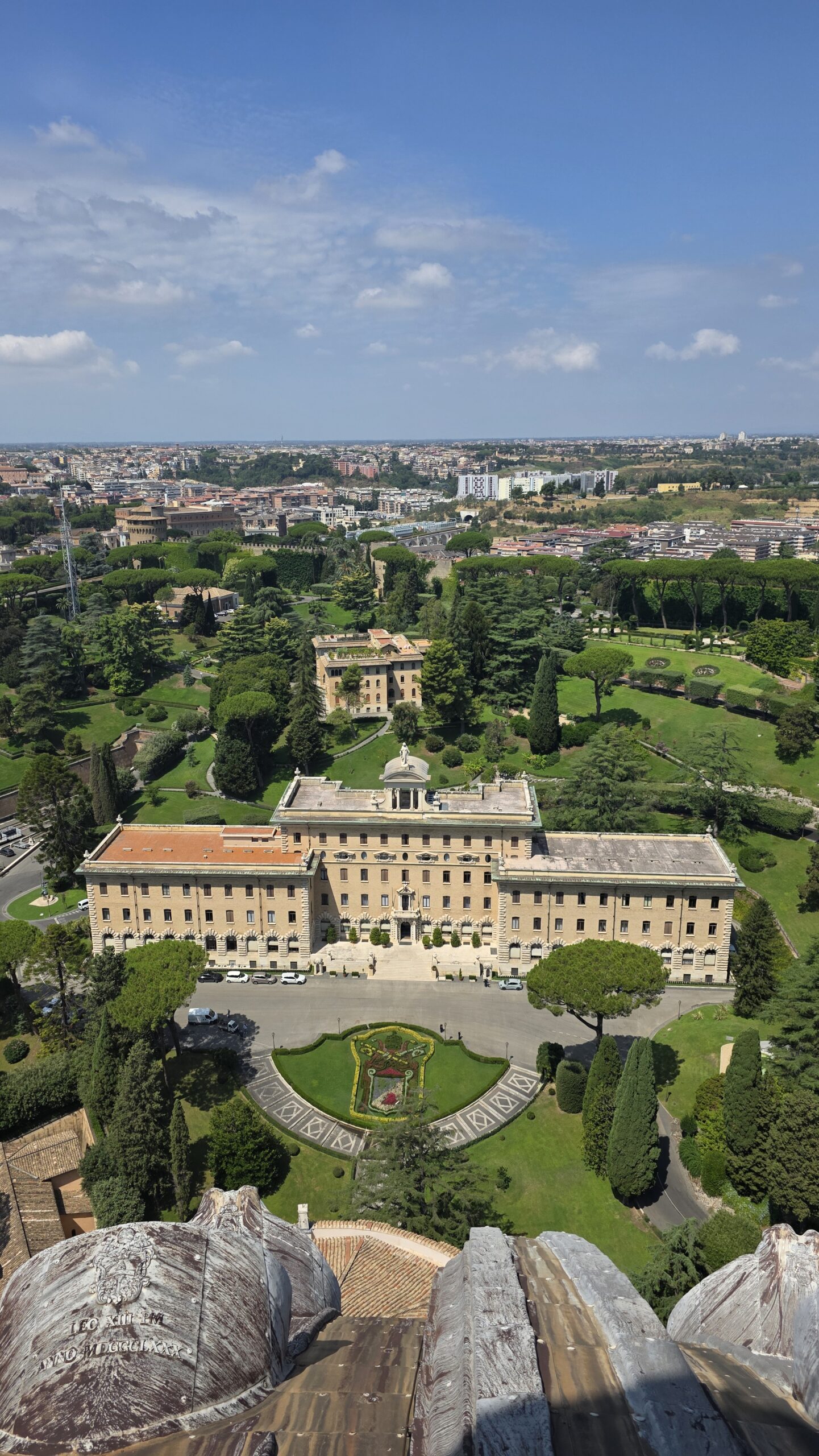
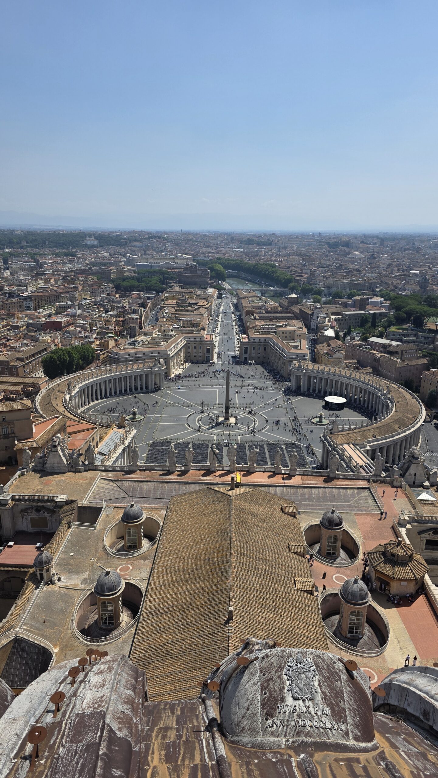
The Vatican’s “summit” is the Dome of St. Peter’s Basilica, rising roughly 75 metres above St. Peter’s Square.
Although Vatican Hill is the country’s natural high point, climbing the dome is recognised by both the Guinness World Records framework and the mountaineering community as a valid and accessible summit for record attempts such as the Crown of Europe.
It is the smallest and most symbolic peak of the project, a reminder that not all summits are measured in altitude.
🚉 Getting There
- Base: Rome, Italy
- Access: Entry through St. Peter’s Basilica (standard visitor route).
- Transport used: 634 km drive from Monaco to Terni + 112 km regional train to Rome.
- Timing: Best before 9 a.m. to avoid queues and heat.
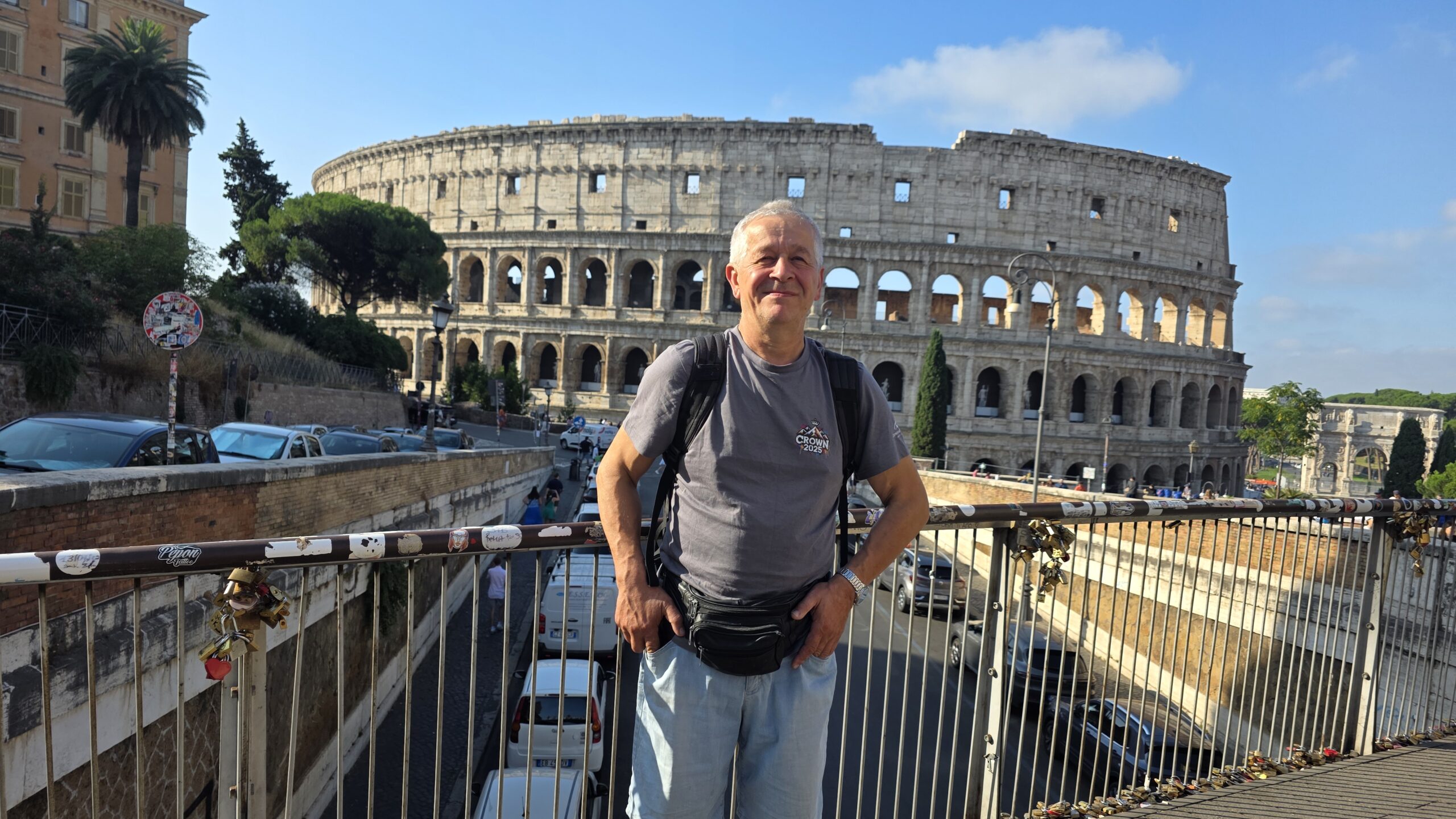
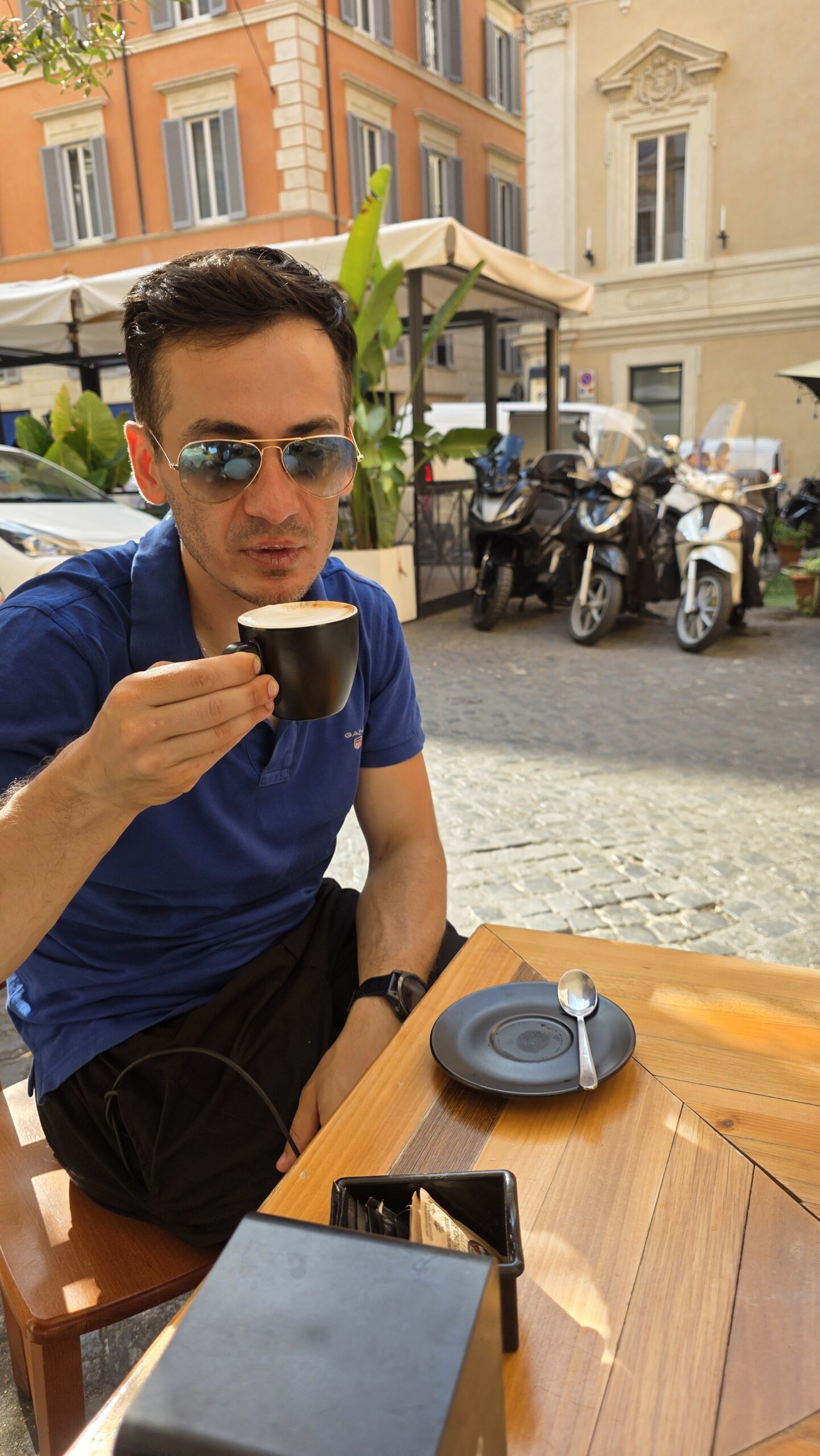
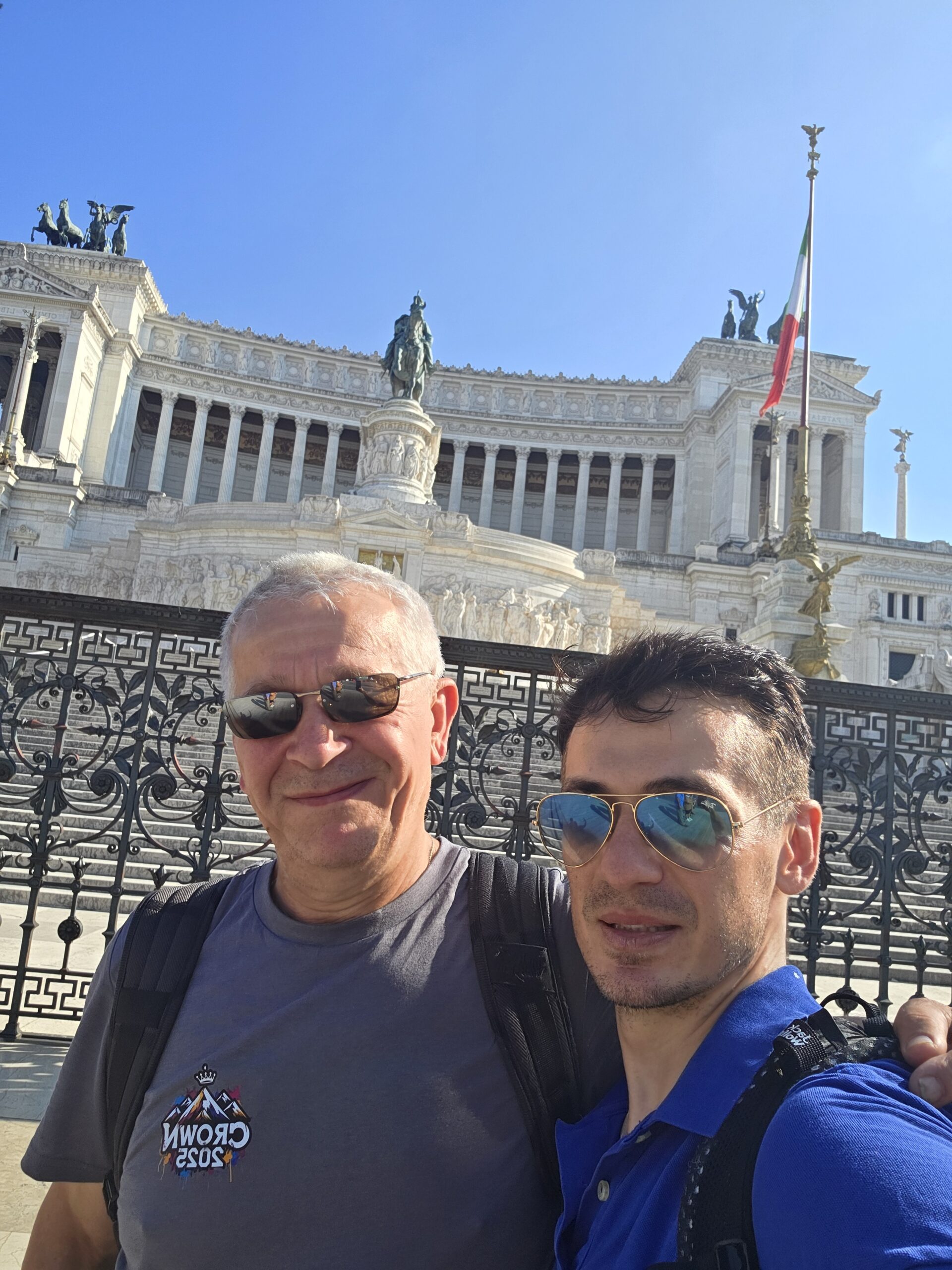
After a night sleeping in the car in Terni, my father and I took an early train to Rome. Before entering the Vatican, we spent the morning walking together through the city, exploring the historic streets and enjoying coffee near the Tiber River.
By mid-morning, the sun was already fierce as we approached St. Peter’s Square.
🪜 The Route
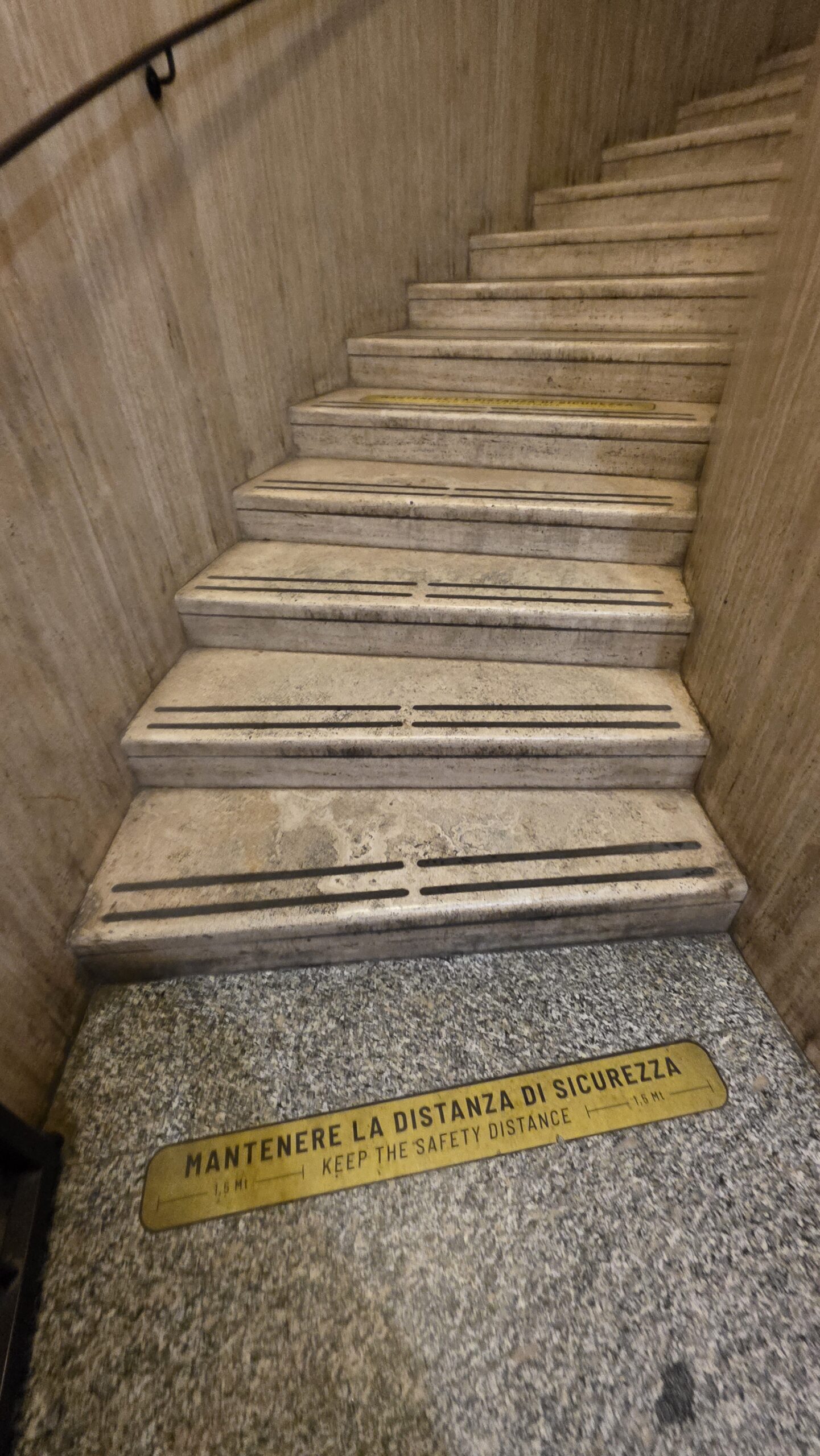
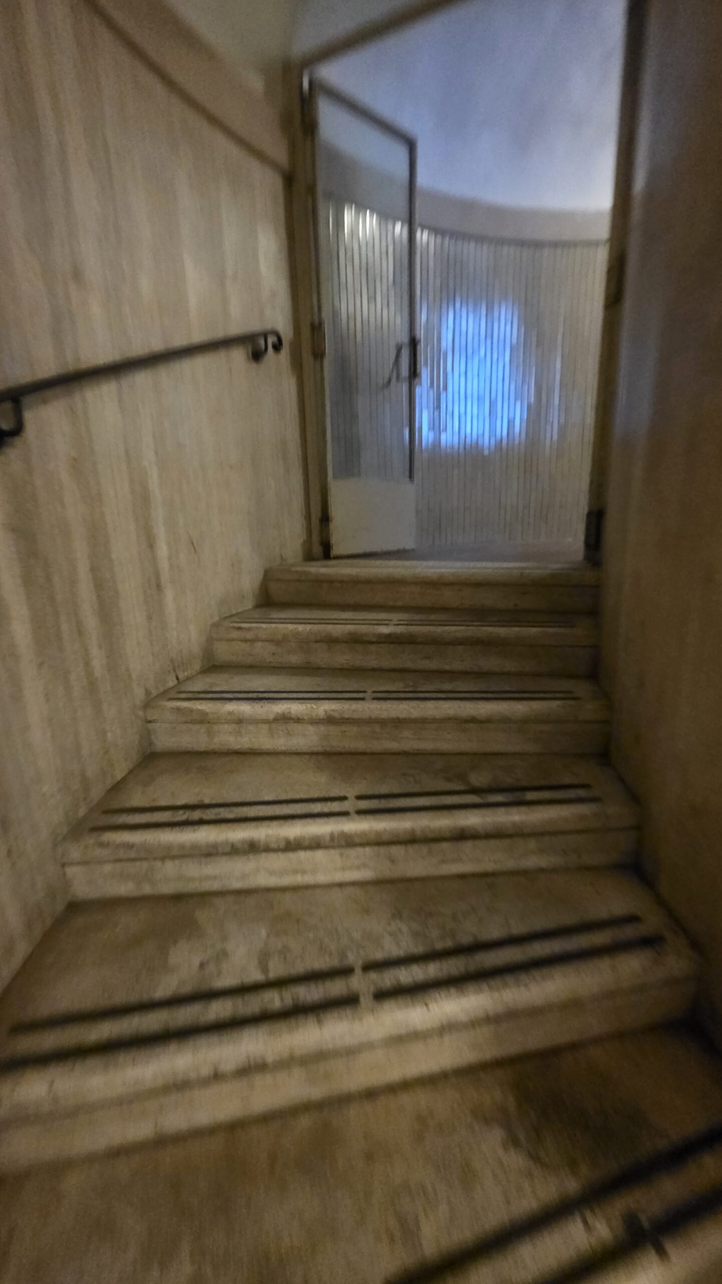
From the basilica floor, visitors climb
- 231 steps (or take the elevator) to the roof terrace, then
- another 320 tight spiral steps to the very top of the dome.
The stairways twist between the double-shell structure, offering close views of Michelangelo’s curves and mosaics.
🌤️ Conditions
The July heat was brutal 37°C, humid (83 %), and windless. Inside the dome, it felt even warmer, but the reward at the top was pure spectacle: Rome stretched in every direction under cloudless blue skies, the Vatican Gardens green below, the Tiber gleaming through the city.
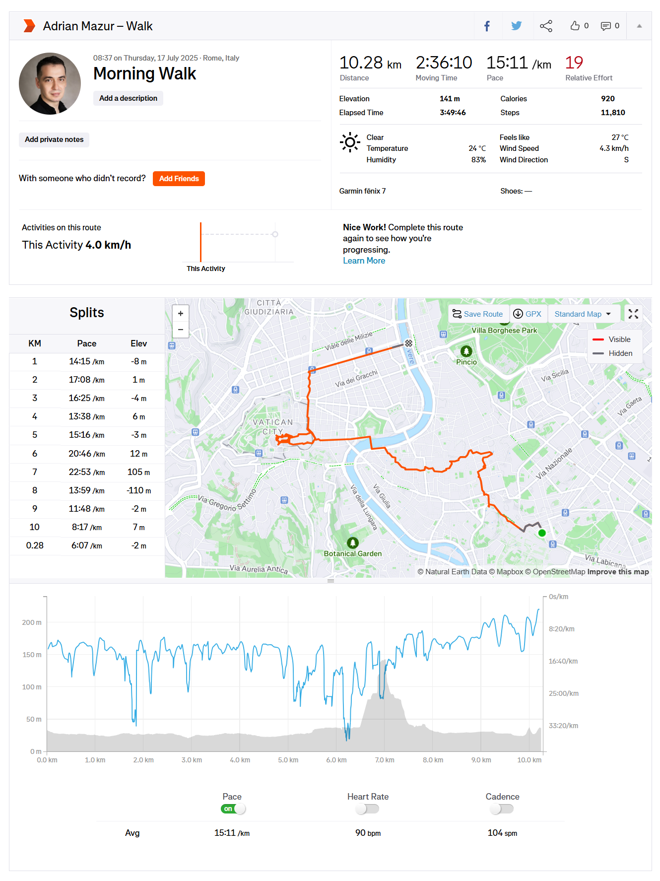
📈 My Stats
| Metric | Value |
|---|---|
| Distance (Rome walk total) | 10.28 km |
| Elevation gain | 141 m |
| Elapsed time | 3 h 49 m |
| Summit time | 10:40 a.m. |
| Average pace | 15:11 / km |
| Weather | 24–27 °C, clear, humid (83 %) |
Tracked via Garmin Fenix 7 and Strava.
💬 My Experience
After the cold, wind, and fear of Mont Blanc, walking calmly through Rome with my father felt like another world. The streets were alive with music and chatter, fountains splashing in the heat.
Climbing the dome, I could feel the shift from history to height — marble to sky. The spiral staircase narrowed, echoing with footsteps and voices in dozens of languages. At 10:40 a.m., I stepped out onto the top platform the highest accessible point in Vatican City, officially accepted by Guinness World Records and by climbers worldwide as its summit.
The view took my breath away: St. Peter’s Square below in perfect symmetry, the ancient city spreading endlessly to the hills.
Standing there, side by side with my father amid tourists and sunlight, I realised this wasn’t just another tick on a list — it was a moment of peace and gratitude inside the chaos of travel.
🧳 Tips for Other Climbers
- Best time: Morning (before 9 a.m.) to beat crowds and heat.
- Cost: ≈ €8 (stairs) / €10 (with elevator).
- Clothing: Light and breathable the dome interior gets hot.
- Duration: 45–60 minutes round trip.
- Fitness level: Moderate; narrow stairs may challenge those with claustrophobia or vertigo.