
01 / Start here
Start here.
Monaco’s highest ground is in a built-up border area on the slopes of Mont Agel, rather than on a distinct mountain summit. A Monaco Statistics publication identifies the ground-level high point at the Patio Palace access on the D6007, at 164.5 m. Respect residents, traffic and property boundaries. Monaco Statistics.


02 / Finding the area
Finding the area.
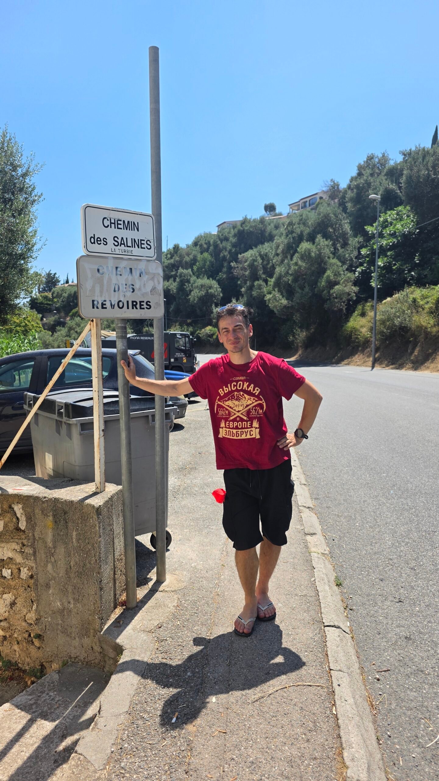
Chemin des Révoires and the surrounding Les Révoires hillside lie near Monaco’s border with France. Use a current map to identify the D6007 and public pedestrian routes; the precise boundary is easy to misread. Do not enter a private building or driveway to claim a point.
03 / Why heights differ
Why heights differ.
My original record used 161 m. Monaco Statistics lists 164.5 m at ground level in its 2022 publication; an earlier official pocket guide gives 164.44 m. Different figures should not be treated as interchangeable measurements of every nearby street. 2022 official statistics · Earlier pocket guide.
04 / Monaco and France
Monaco and France.
The high-point area lies by the French border. A street, building entrance, sidewalk or viewpoint nearby is not automatically the same as a surveyed national high point. Check a current map and local access, and stay where pedestrians are allowed.
05 / Respect residents
Respect residents.
The location identified by the official source is an access to a residential building. Do not enter private property, obstruct the entrance or photograph residents without regard for their privacy. A public street visit is enough for a respectful day out.
06 / Road and heat safety
Road and heat safety.
The D6007 is a road, not a marked mountain path. Use pavements and safe crossings where available, watch traffic and avoid stopping in an unsafe position for a photograph. Bring water and sun protection on hot days.
07 / Mont Agel
Mont Agel.
The Monaco high-point area is on the slopes associated with Mont Agel; the mountain’s much higher summit is in France. Do not mistake an ascent of Mont Agel for a visit to the same point in Monaco.
08 / What will you see?
What will you see?.
Expect ordinary urban streets and building entrances rather than an alpine summit marker. Street signs can help orient you, but a sign alone does not establish the exact national boundary or surveyed high point.
09 / Urban walking
Urban walking.
Approaches through Monaco may involve steep streets, steps and changes of level. Choose a route suited to your group, use pedestrian crossings and check the way back on a current city map. Official visitor map.
10 / Public lifts and steps
Public lifts and steps.
Monaco has public lifts and other connections that can make the hilly city easier to navigate. Availability and routes can change: consult the current city map and verify a lift is public before depending on it.
11 / Accessibility
Accessibility.
Steep streets, stairs, crossings and the exact location of working public lifts affect accessibility. Needs vary; check current accessible routes with Monaco’s visitor office before travelling. Visit Monaco.
12 / How much time
How much time.
The final urban approach may be short, but allow extra time for navigation, hills, road crossings and transport. The duration depends on your starting point and whether you add city sights.
13 / When to visit
When to visit.
This is an urban visit possible in different seasons, subject to weather and local access. Summer heat can make steep streets tiring; a cooler part of the day may be more comfortable.
14 / Weather
Weather.
Check the local forecast and bring water, a hat and sun protection when needed. Rain can make steps slippery. My hot July conditions describe my own day, not the usual weather.
15 / Getting there
Getting there.
Monaco is served by regional rail and local buses, with the final approach depending on your chosen stop and access route. Check current services and walking connections. SNCF · Monaco buses.
16 / Parking
Parking.
Parking can be limited and steep roads may be busy. Use an authorised car park and check its current terms; do not block residential access or stop where visibility is poor.
17 / Where to stay
Where to stay.
Monaco and nearby French Riviera towns offer different accommodation and transport choices. Compare current prices, cancellation terms and travel time for your wider itinerary.
18 / Views
Views.
The high-point area is residential and views vary by location. If you want a broad Mediterranean panorama, choose an established public viewpoint rather than entering private grounds or stopping at the roadside.
19 / Explore Monaco
Explore Monaco.
Allow time for the waterfront, the historic Monaco-Ville area or a museum, depending on your interests. Check current opening and transport directly. Official visitor information.
20 / Families
Families.
This can be a short family outing, but steep streets and traffic require care. Keep children close near roads and allow for the heat and steps.
21 / Food and water
Food and water.
Carry drinking water for the uphill walk. Cafés and shops depend on opening hours and your exact route; plan a break in a public area rather than at a residential entrance.
22 / Respect the neighbourhood
Respect the neighbourhood.
Stay on public routes, keep noise down, take litter away and avoid blocking doorways. The hillside is a place where people live as well as a destination for high-point visitors.
23 / Emergency
Emergency.
Call 112 for an emergency and give your exact location. For a minor issue, return to a safe public place away from moving traffic before deciding what to do.
24 / A relaxed itinerary
A relaxed itinerary.
Arrive by your chosen transport, walk an allowed route to the hillside area, then visit an established public viewpoint or the waterfront. Build in time for the return and confirm operating hours.
25 / Costs
Costs.
Budget for travel, accommodation, food, parking and any attractions. Monaco uses the euro. Enter your own current quotes in the calculator; no live fares are implied.
28 / Saved checklist
Prepare for a Riviera city walk.
Saved only in this browser. This is a residential border area beside a road. Stay on permitted public routes and respect private entrances and traffic.
29 / Cost calculator
Use your own quotes.
Plan in euros.
Enter your own current prices in EUR. Vehicle and main travel are shared; the other amounts are per person. Include any park, guide and transfer quotes under the appropriate fields. Blank entries count as zero.
My story, FAQ & sources
From ice to the Riviera.
On 16 July 2025, less than a day after Mont Blanc, my father and I drove south from the Alps to Monaco. The cold and ice gave way to sunshine, traffic and the Mediterranean.
At about 14:32 I began the short walk in the Les Révoires area. My diary records 161 m; I also remember reaching the Patio Palace access from the D6007. Finding somewhere to park and navigating the residential streets were more demanding than the short final walk.
It was a striking change from the mountain: a small urban high point connecting one part of the journey with the next. Please respect the residents and use only permitted public routes.
Frequently asked questions
Where is Monaco’s highest point?
Monaco Statistics identifies the ground-level high point at the Patio Palace access on the D6007.
How high is it?
A Monaco Statistics publication gives 164.5 m; an earlier pocket guide gives 164.44 m. My diary used 161 m.
Is Chemin des Révoires a mountain trail?
The area is built up and approached on urban streets, not a wilderness mountain path.
Is Mont Agel’s summit in Monaco?
No. The much higher Mont Agel summit is in France; Monaco’s high point is on its slopes.
Can I enter Patio Palace?
It is residential property. Do not enter or obstruct private access; follow public routes and local signs.
Is there a summit marker?
Do not assume there is an official summit marker. Street signs do not prove the exact surveyed point.
Is the D6007 safe to walk?
It is a traffic route. Check pavements and crossings on your chosen approach and avoid unsafe roadside stops.
How difficult is the walk?
The final area is urban, but Monaco has steep streets and steps. Difficulty depends on your start and route.
Are there public lifts?
Monaco has public lifts, but check the current map and operating status for the one you intend to use.
Can I reach it by train?
Regional trains serve Monaco; you still need to plan the onward bus or walking route.
Where should I park?
Use a legal public car park and confirm current terms. Avoid blocking residents or traffic.
Is it accessible to wheelchair users?
Steep streets and the availability of suitable lifts affect access; ask the visitor office about your exact route.
Is there a sea view at the exact point?
Views in the residential area vary. Use established public viewpoints rather than assuming a panorama.
Can I visit with children?
Yes, with close supervision around roads, heat and steep steps.
What currency is used?
The euro.
What should I take?
Water, comfortable shoes, sun protection and a current map are useful.
When did Adrian visit?
16 July 2025, after his Mont Blanc climb.
Did Adrian reach the D6007 access?
Yes. He confirmed that he reached the access by the upper road.
What is the emergency number?
Call 112.
Sources and current information
Research checked 2 November 2026. Conditions, access and prices can change.
- Monaco Statistics: territory and geography ↗ — Official ground-level high point figure and location
- Monaco Statistics: pocket guide ↗ — 164.44 m figure at Patio Palace access
- Visit Monaco: official visitor map ↗ — City map and transport context
- Visit Monaco ↗ — Official visitor information
- Compagnie des Autobus de Monaco ↗ — Local transport
- SNCF Connect ↗ — Regional rail services